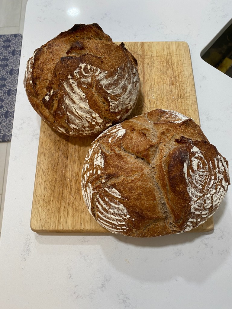
Hitting rewind a bit to share a few cooking/baking stories since the first of the year before catching up with more recent activities. Prior to the new year, the traditional Christmas meal of ham, sweet potatoes, mashed potatoes, etc was supplanted by an entirely new menu: blue cheese stuffed venison loin (expensive stuff from your local butcher if you don’t have deer hunting friends), roasted butternut squash, wild, long-grain rice, and focaccia bread. Unfortunately, the cook and camera man failed to properly execute both tasks equally. The only picture taken was the venison. On the positive side, the family enjoyed the menu shake-up. Continued the tradition of New Year’s pretzel bread and made some to take back to the parentals on one of the many trips back to the North Coast. Made artisanal whole wheat (75%) bread. That turned out pretty well. Still haven’t ventured into pre-ferments or levain varieties yet. To be honest, intimidated by the notion of continuously feeding the starter dough.


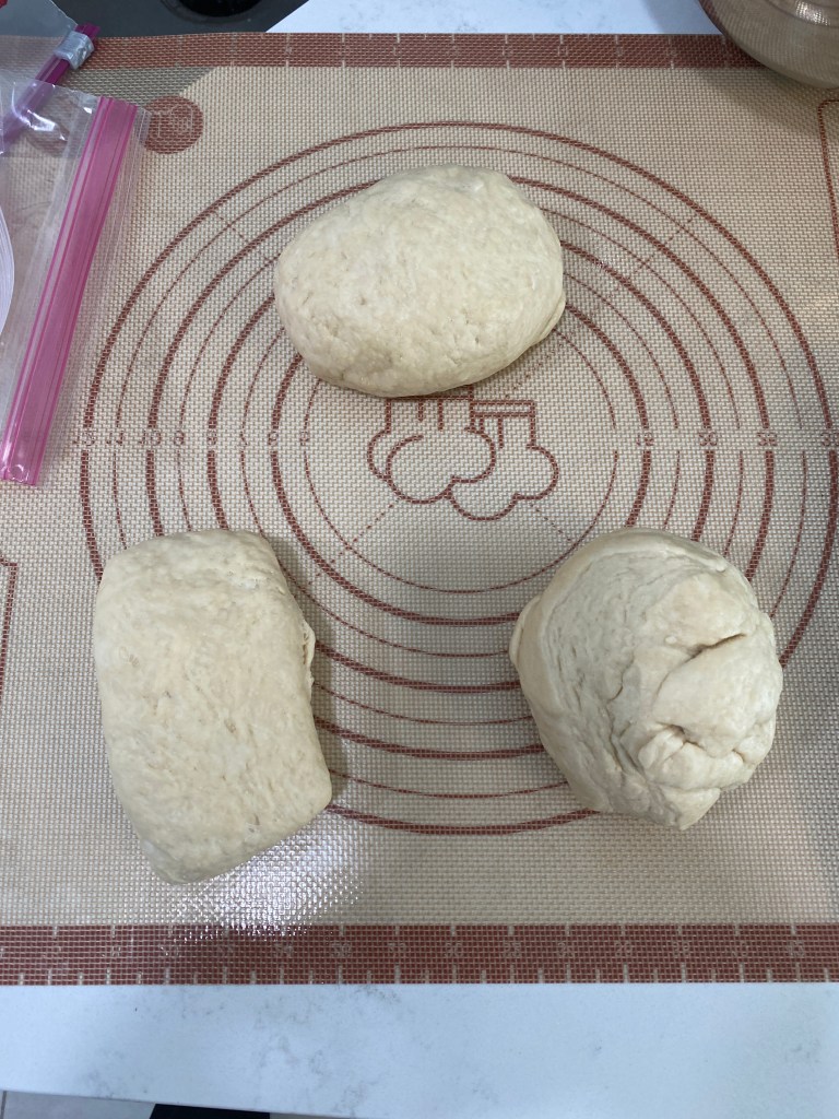
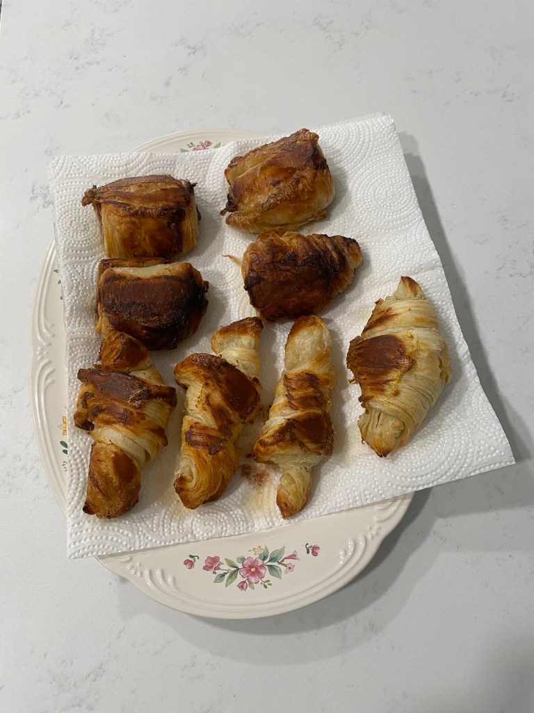
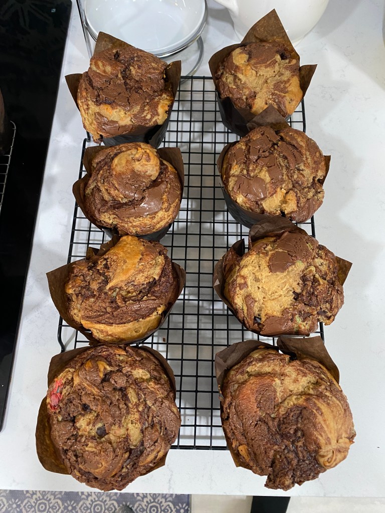
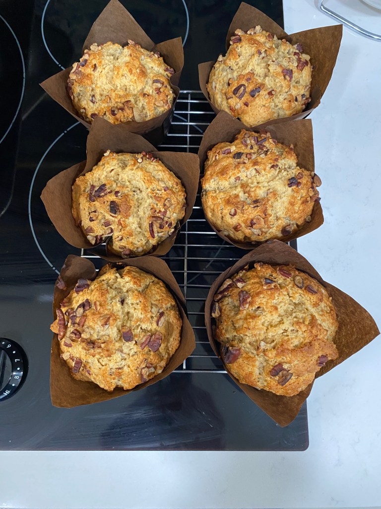
Received a bread and pastry cookbook for Christmas from the girl-child who very emphatically stated she expected some pain au chocolat in the not too distant future. Little known fact: making the laminated dough is a three-day process. At least for home bakers; perhaps commercial bakeries have more economical and streamlined approaches. Laminating is essentially wrapping a dough around a block of butter, 2 sticks for my efforts, and with a series of rolling, folds, and proofing before finally shaping and baking. Technique, shape, and taste did improve across the initial three dough balls. Croissants and pain au chocolat tasted much better on the final attempt although still no competition for Parisian products. Discovered a new muffin flavor: peanut butter-Nutella swirl although the swirl was limited to the top of the muffin as the peanut butter batter was too thick to accommodate a deeper swirl. improved an older muffin recipe by increasing the amount of liquor: bourbon, maple, and pecan.


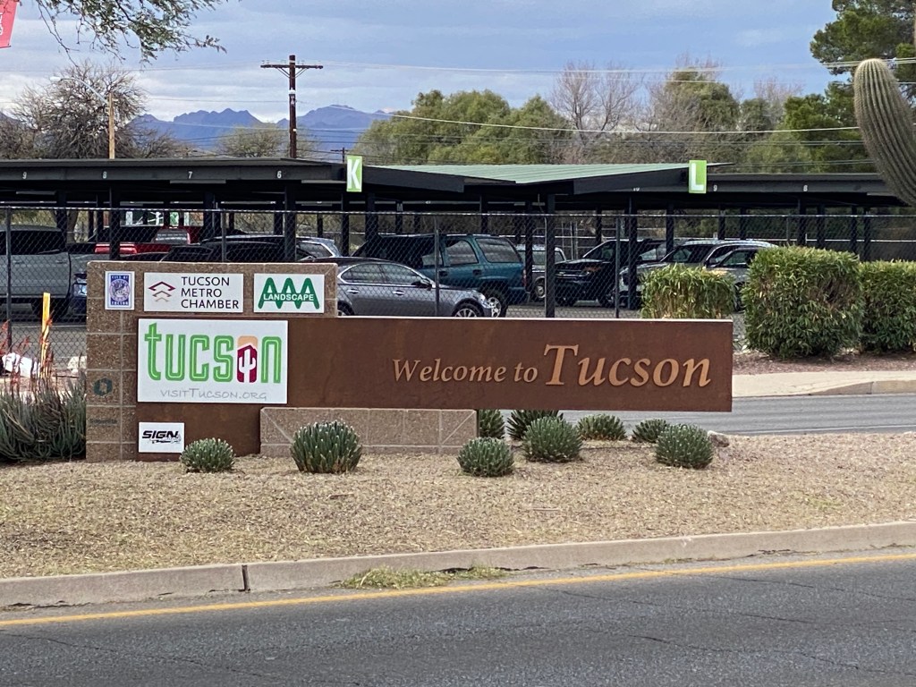
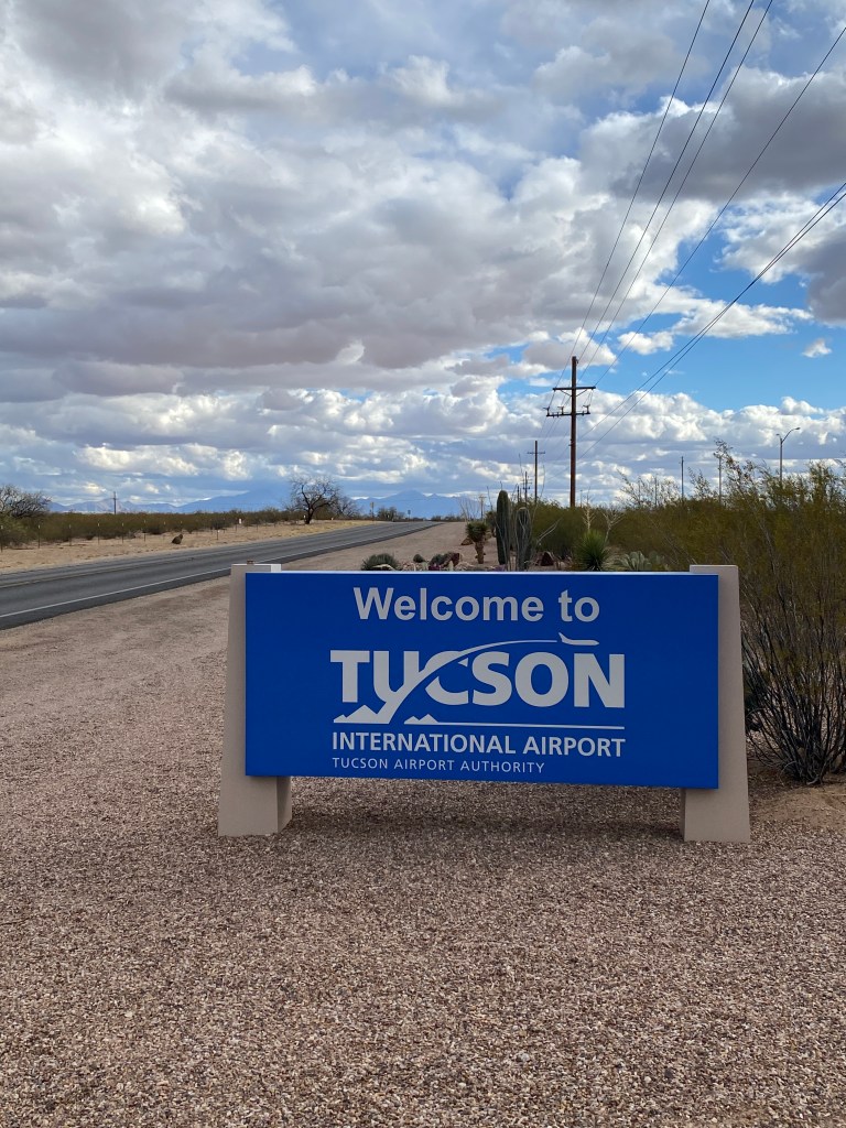
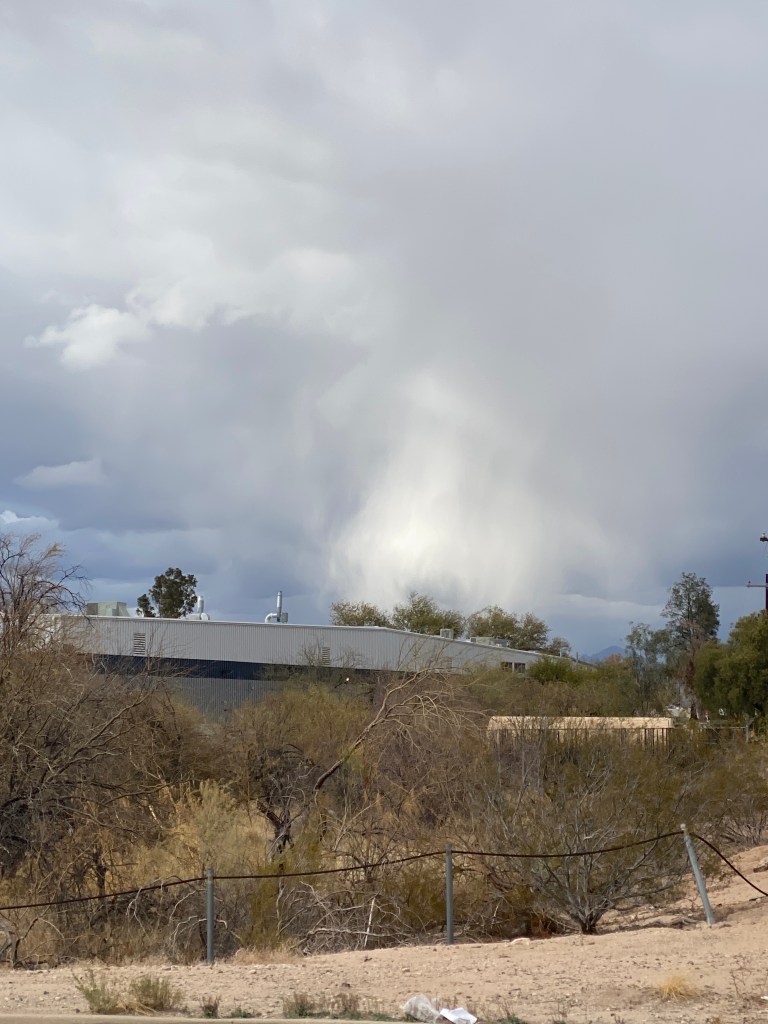
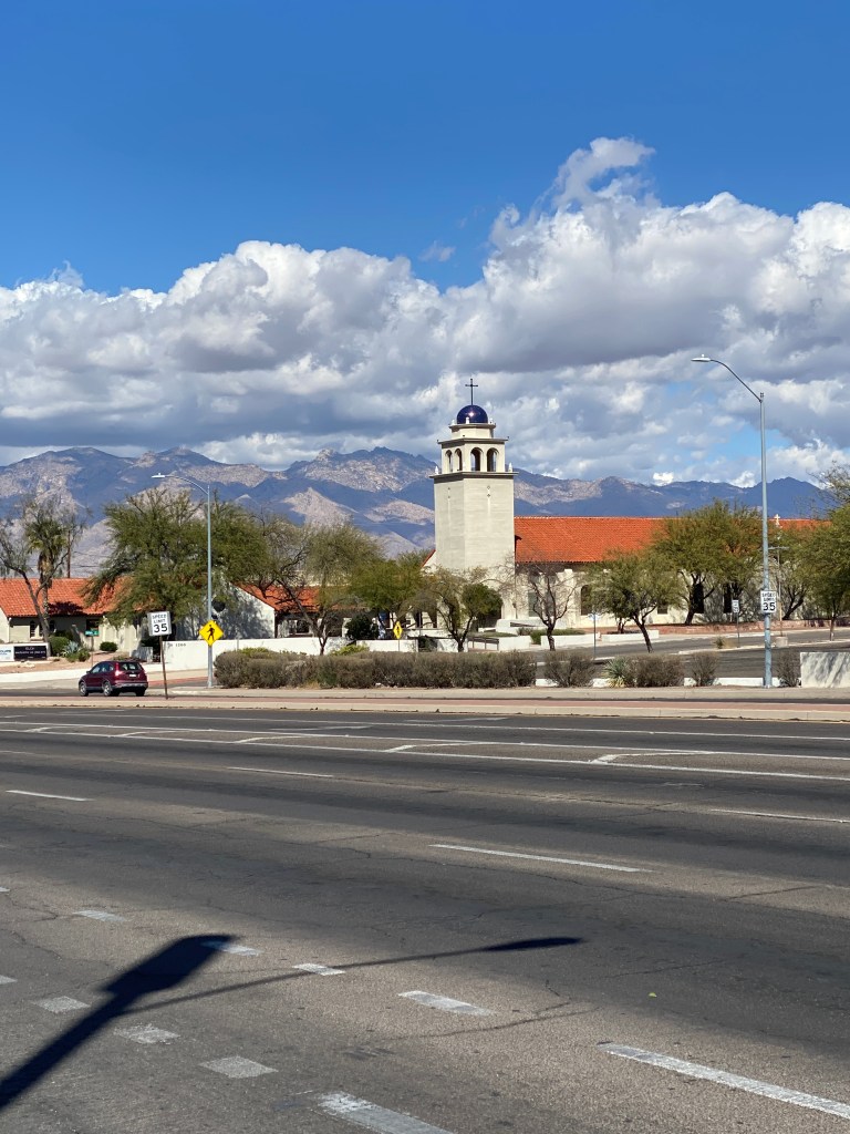
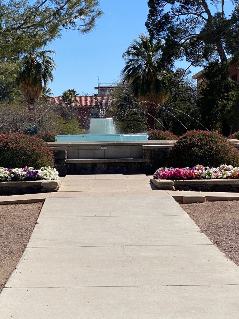
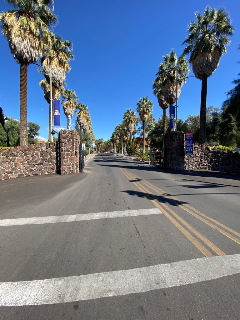
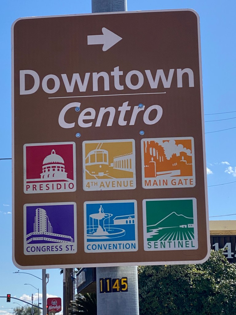
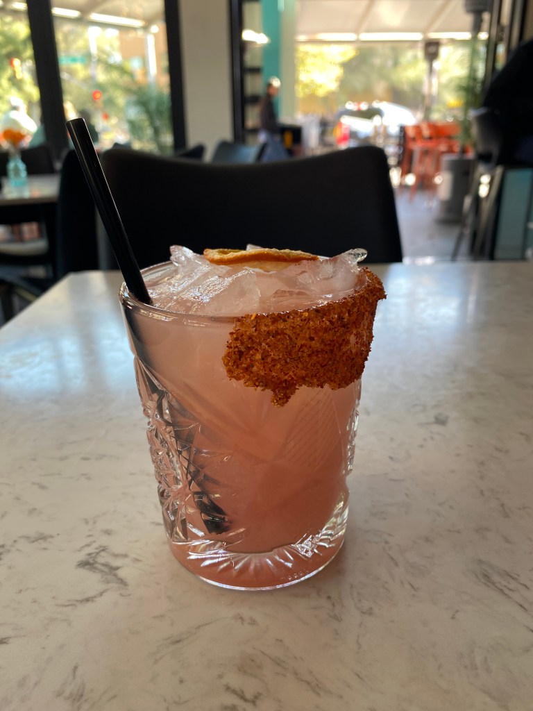
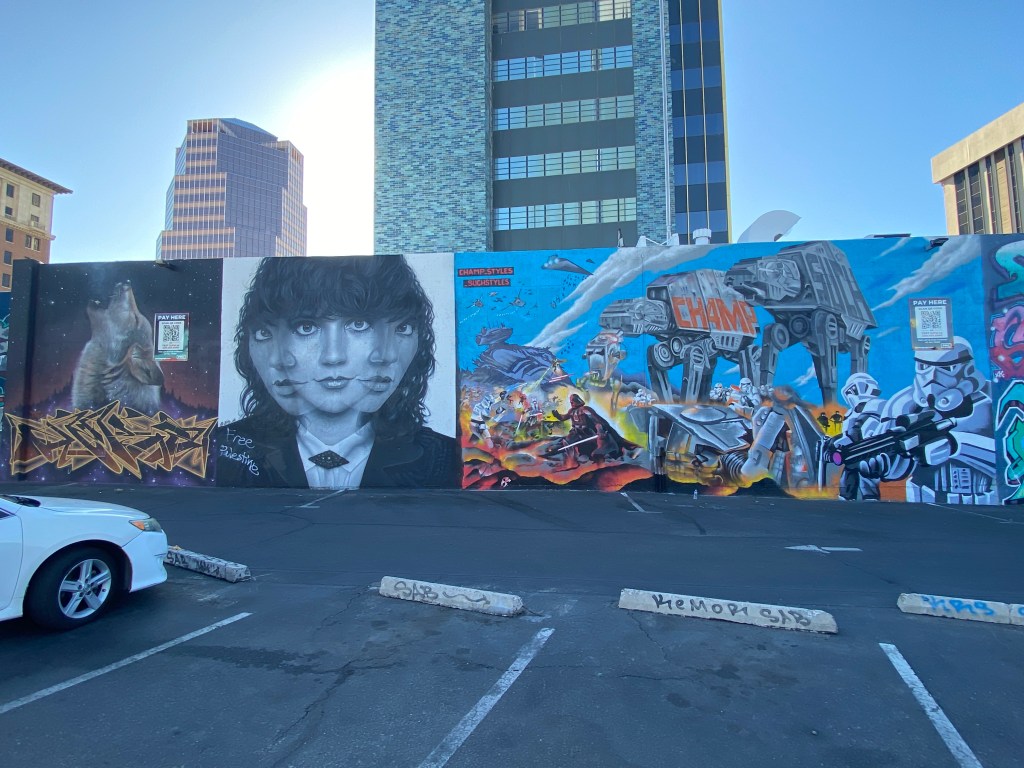
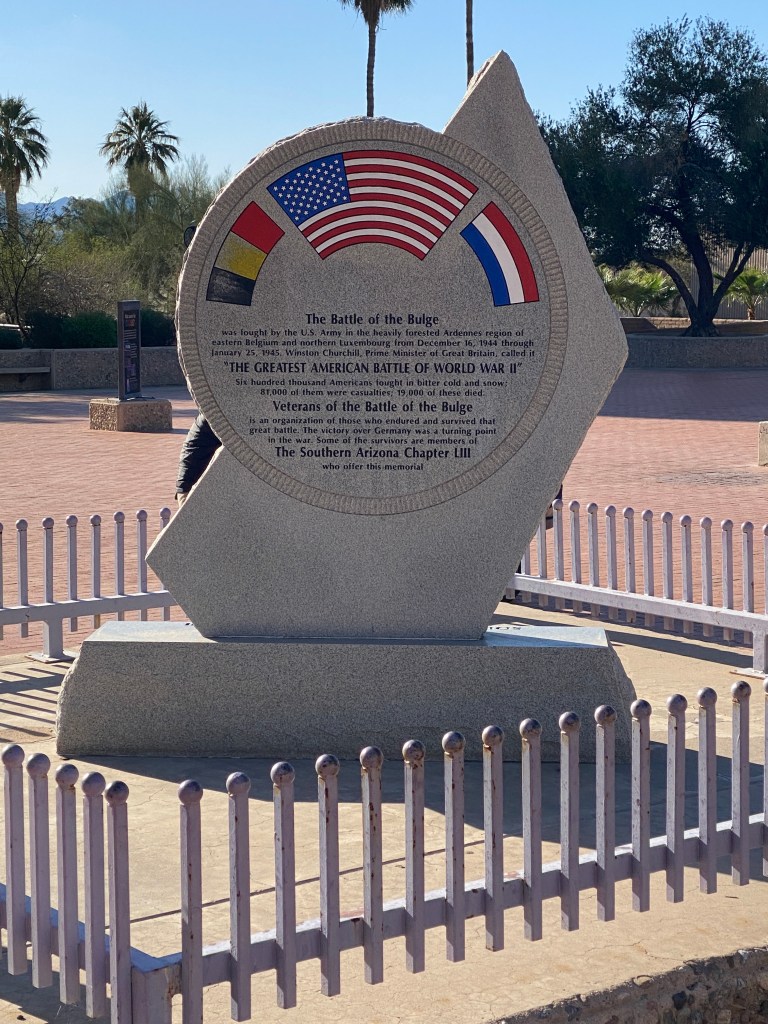
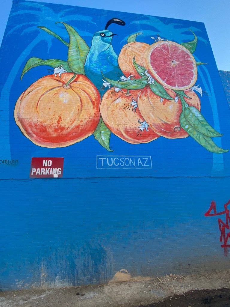
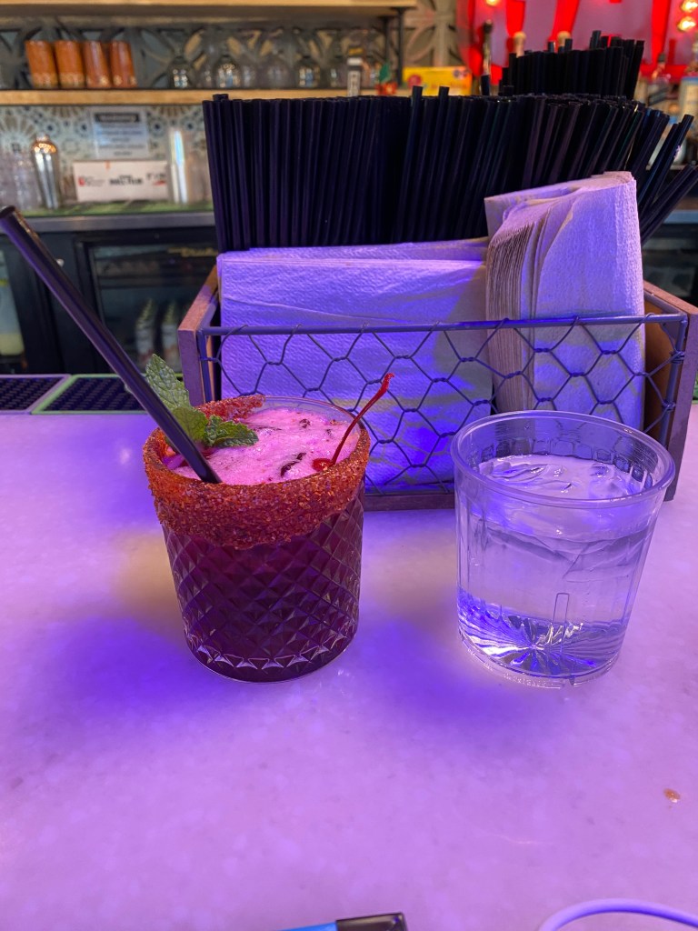
After a predominantly indoor cycling experience heading into the first week of March, did manage a work weeks’ worth of outdoor riding, both road and gravel, before heading west for Bicycle Adventure’s (BA) Arizona Sonora tour. An early morning East Cost departure enabled a 10K walk near Tucson International Airport. Not much in the way of interesting sights to see but passed the afternoon away. Temperatures were lower than expected, low to mid 50s, and strong wind made it cooler. Even more so when clouds blocked the sun. Dining options were limited without access to a vehicle but ate at Indian Twist and had a decent meal: vegetable Samosa, lamb korma, and naan. Took an Uber the following day to walk around the University of Arizona campus. Spring Break made the grounds eerily quiet. Stopped at The Agave House for a mezcal cocktail just off campus grounds on the way to 4th Ave and downtown. 4th Ave is home to quite the collection of eclectic eateries, drinking establishments, and boutique stores. Downtown was a bit of a disappointment but walked around a bit and had dinner at La Chingada Cocina Mexicana. The Uber ride back to the hotel was nearly triple the cost of the early morning trip to UA.


During the introductory phone call from Bikepacker a week before the start, mentioned my mileage pig tendencies and she responded that there would be ample opportunities to increase mileage on most days although there would be some schedule constraints that would likely preclude extending all days.
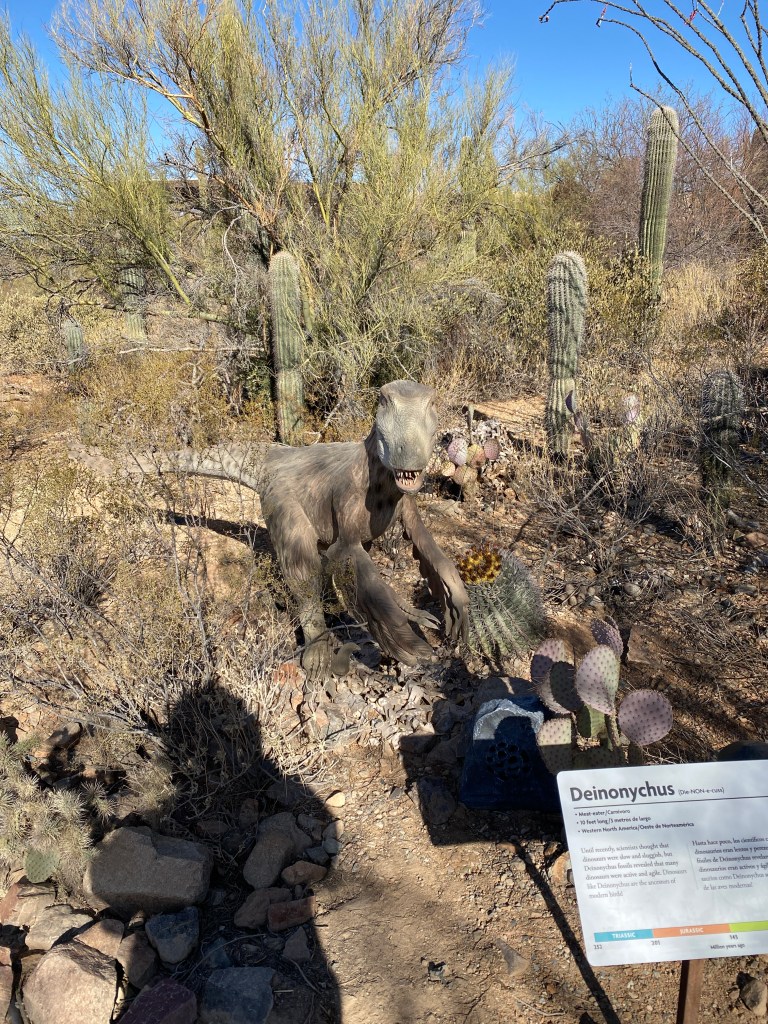
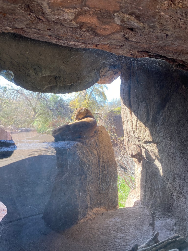
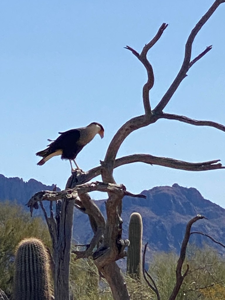
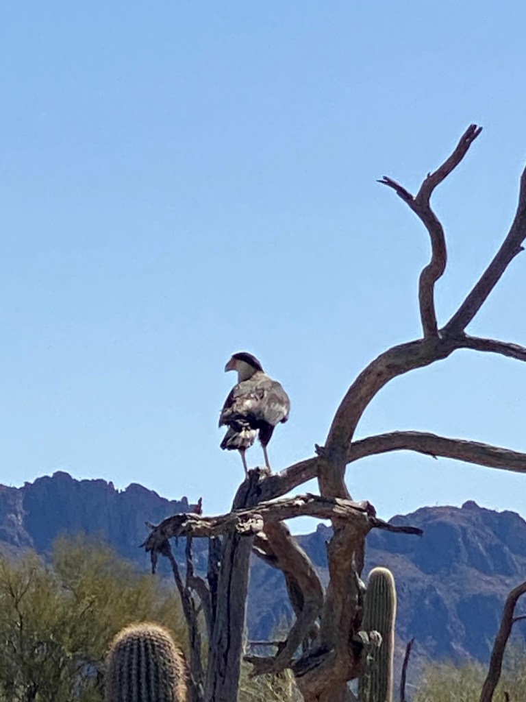
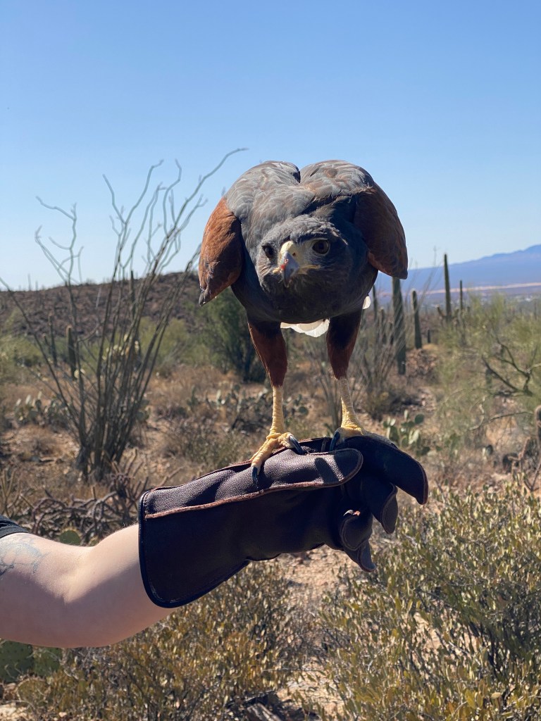
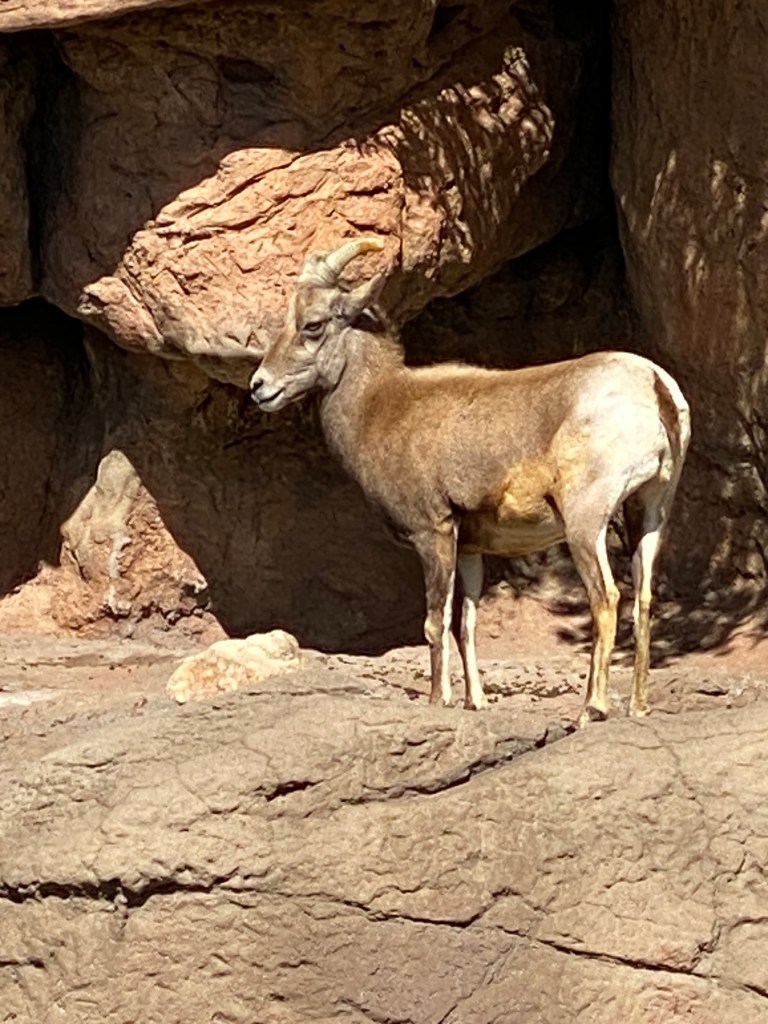
Picked up the next morning by the BA lead guide, Bikepacker, and most of the other tour members: Pirate and his wife, Lawyer, and Professor. The remaining members would meet us at the museum, an unofficial BA guide for this tour, Impending Bride and her fiancé, Mechanic, or join the following day: Professor’s wife, Flutist, and. The other members were far from bicycle tour novices. In fact, they shared numerous stories of past trips and the majority of them seemed to be less than positive experiences albeit in some pretty cool locations. First stop was a couple of hours at the Arizona-Sonora Desert Museum. Walked around the grounds for an hour before heading to the prime attraction: Raptor Free Flight. Several untethered raptors (mostly) were released and flew to rangers’ gloved perch. Birds included Chihuahuan Ravens, Harris Hawk, Crested Caracara, and an owl. Other animals (live and automated) were on display.


After a quick round robin of introductions and bike checks in the parking lot, the purpose of the trip was underway. The planned route was 41 miles and slightly less than 2,000 feet of elevation. Added an early loop then caught up with the group just prior to joining Tucson’s extensive network of paved, multi-use paths. Unlike most paths, there were minimal street intersections as the paths normally went under crossing roads. Tucson has over 130 miles of dedicated paths and many roads have bike lanes. Quite the bike-friendly city. The paths see heavy use from across the cycling spectrum with lots of large groups, single file, and older cyclists. Awesome to ride outdoors with minimal snivel gear (base layer and arm skins).
Planned ride: 41.1 miles with 1891 feet of elevation
Actual ride: 53.4 miles with 2759 feet of elevation
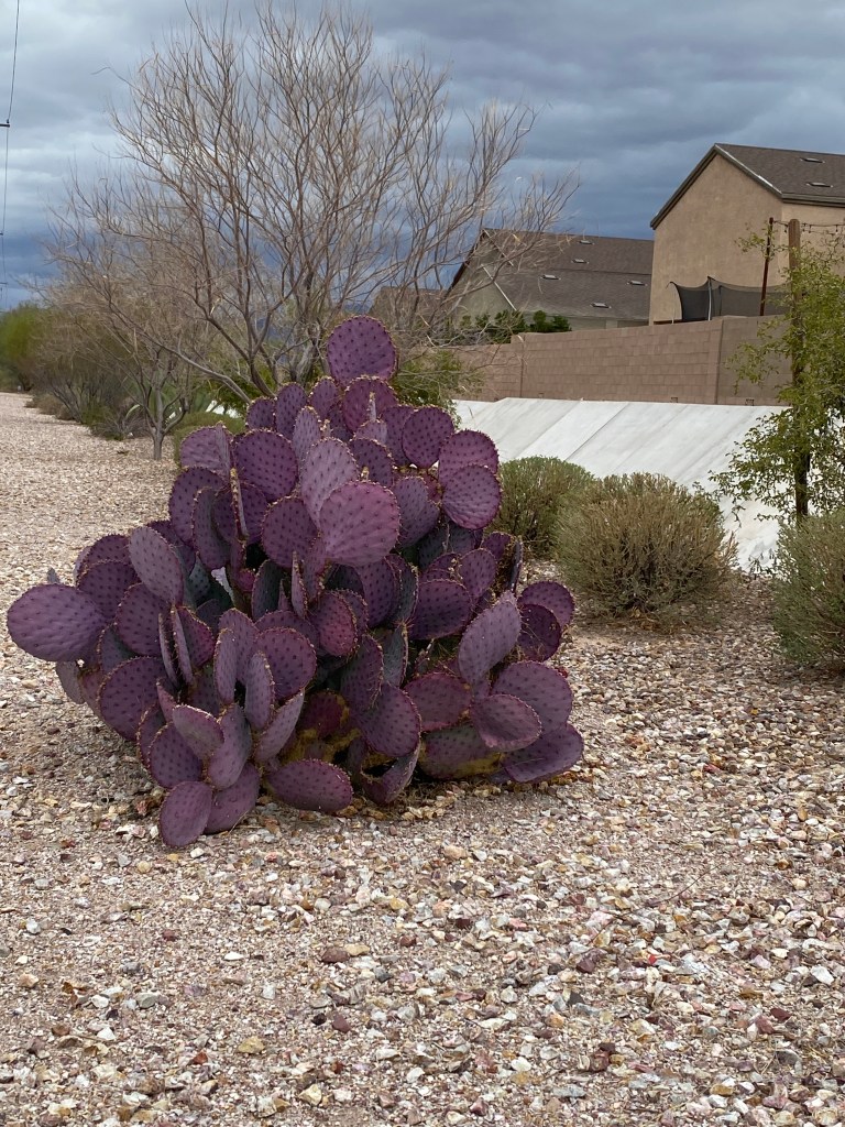
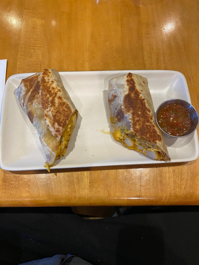
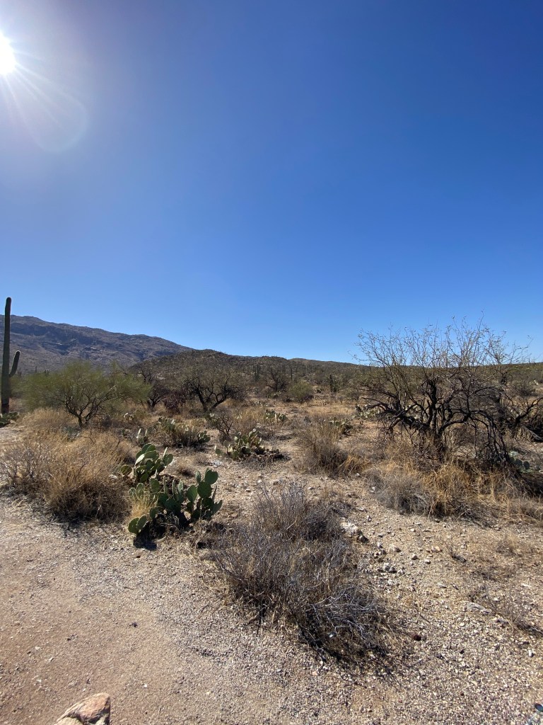
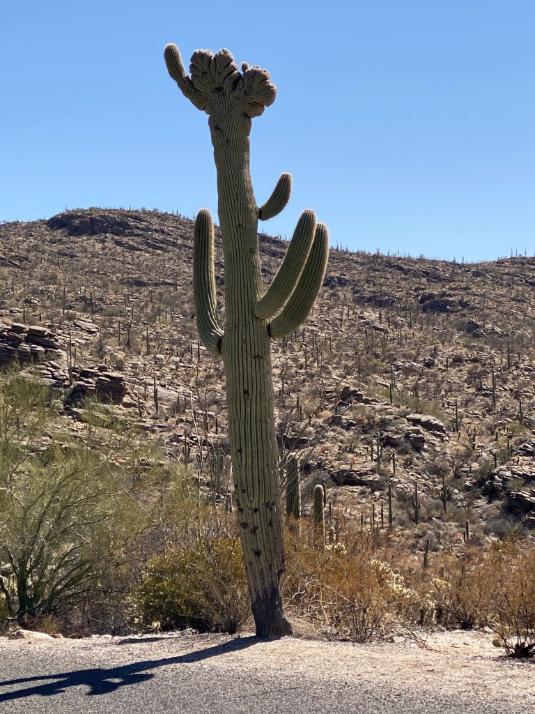
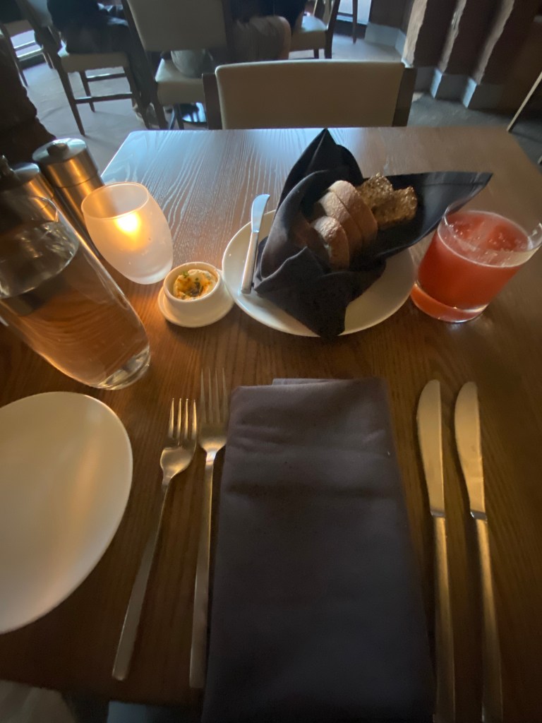
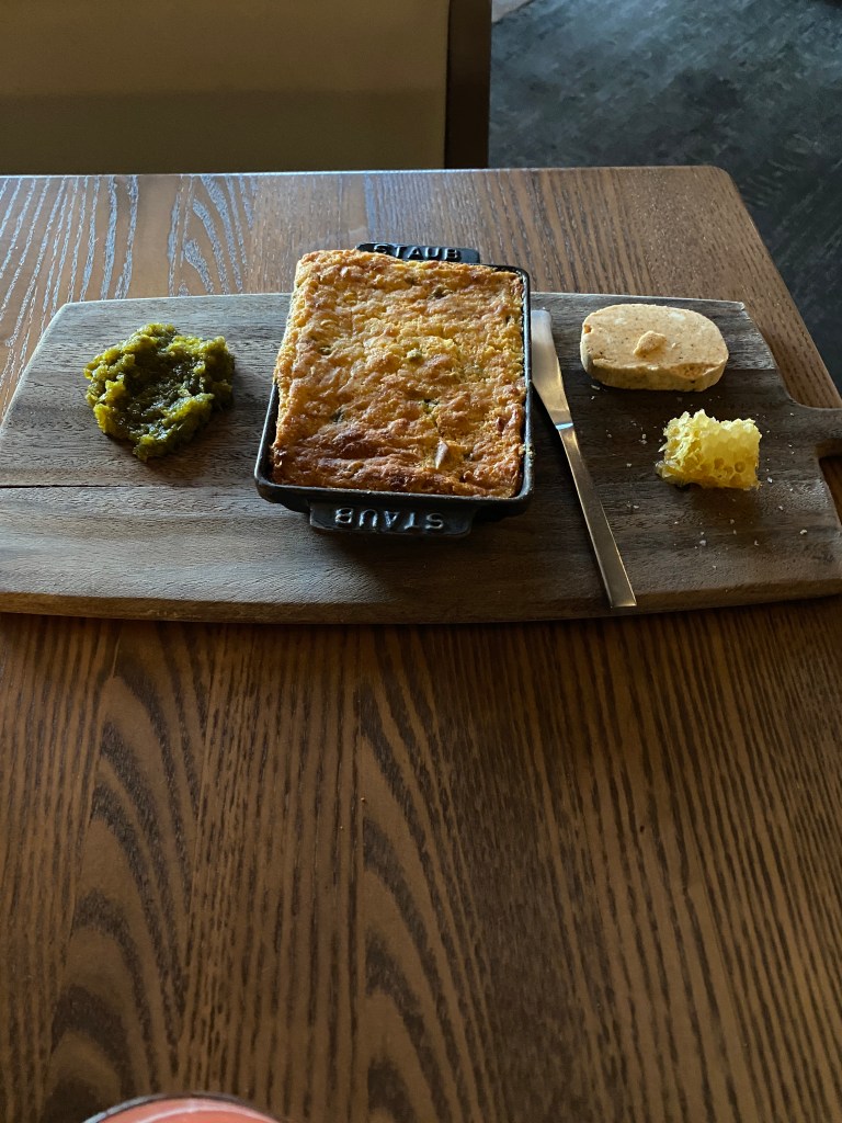
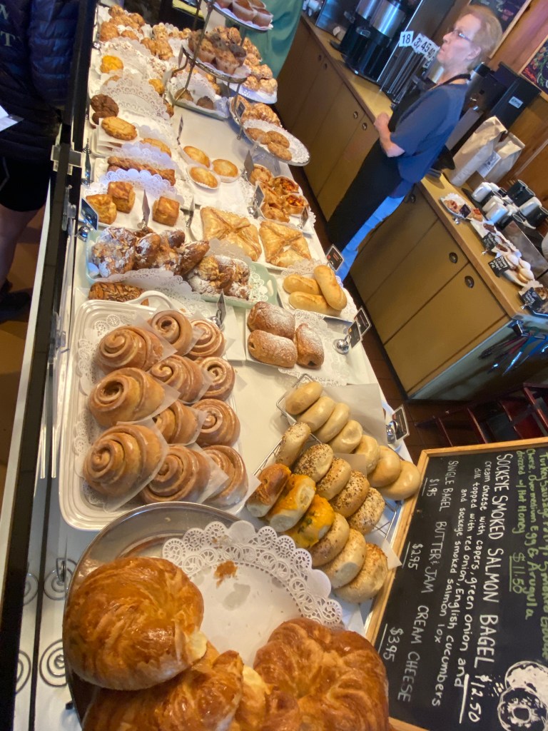
Day 2 started with breakfast at a common cyclist hang-out and starting point: Le Buzz Café. After a chorizo breakfast burrito and almond croissant (that looked more like a bagel but tasted more like a croissant), off to Saguaro East National Park. The first five + miles was into a steady headwind a prelude to the next day’s ride up Mount Lemmon. Fortunately, the route made a right turn just before mile marker 0. Able to use my National Parks pass to offset some of the park entrance fees charged to BA – no charge for pass holder and 4 others. Managed two loops around the 8-mile, one direction loop before stopping for lunch and the arrival of our tour’s final member, Flutist. She began her day on the east coast with a pre-sunrise flight, a 30-minute hustle to make the connecting flight, and Uber ride to the Park. That’s a dedicated cyclist. Well done! Learned that saguaro cactus don’t start growing their distinctive ‘arms’ until reaching 50-70 years old. They are also susceptible to a rare genetic mutation (one in 2000) that features a fan-shaped growth pattern at the tip of it’s shoot. Those afflicted are called crested cactus. There were 3 visible along the route – passed one three times (part of a repeated stretch for additional miles) but still didn’t see it. Wondered why some from our group were on the other side of the road before passing them going in opposite directions. Another was along the route to lunch and would’ve passed that one twice without noticing. Used to consider myself observant. Blame it on the detached retina and subsequent corneal complications. Much more focused on the road in front instead of the scenery. Speaking of which, AZ has it’s share of unique and spectacular sights. In fact, decided to winter in AZ once we sell our southern training camp location in FL. Love the house and enjoy spending winters there, but the Missus isn’t keen on wintering there once she retires and it’s not the best financial decision of paying for 12 months but only enjoying it for 3-4 months. Instead, use some of those funds for an extended AirBnB place with the ability to discover new warm winter locations. Think Yuma will be the first test location. More isolated but also warmer than Phoenix and Tucson in the winter. Started the return trip with the third and final loop before leaving the park and heading back on roads, different sections of the bike paths, and the climb up to our hotel, Loews Ventana Canyon Resort (quite posh accommodations). Ate a solo dinner at the resort. The cornbread and broccolini were good but the duck was overcooked. Disappointing.
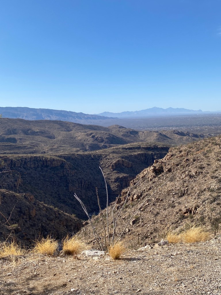
Planned ride: 43.3 miles with 2207 feet of elevation
Actual ride: 65.3 miles with 3917 feet of elevation


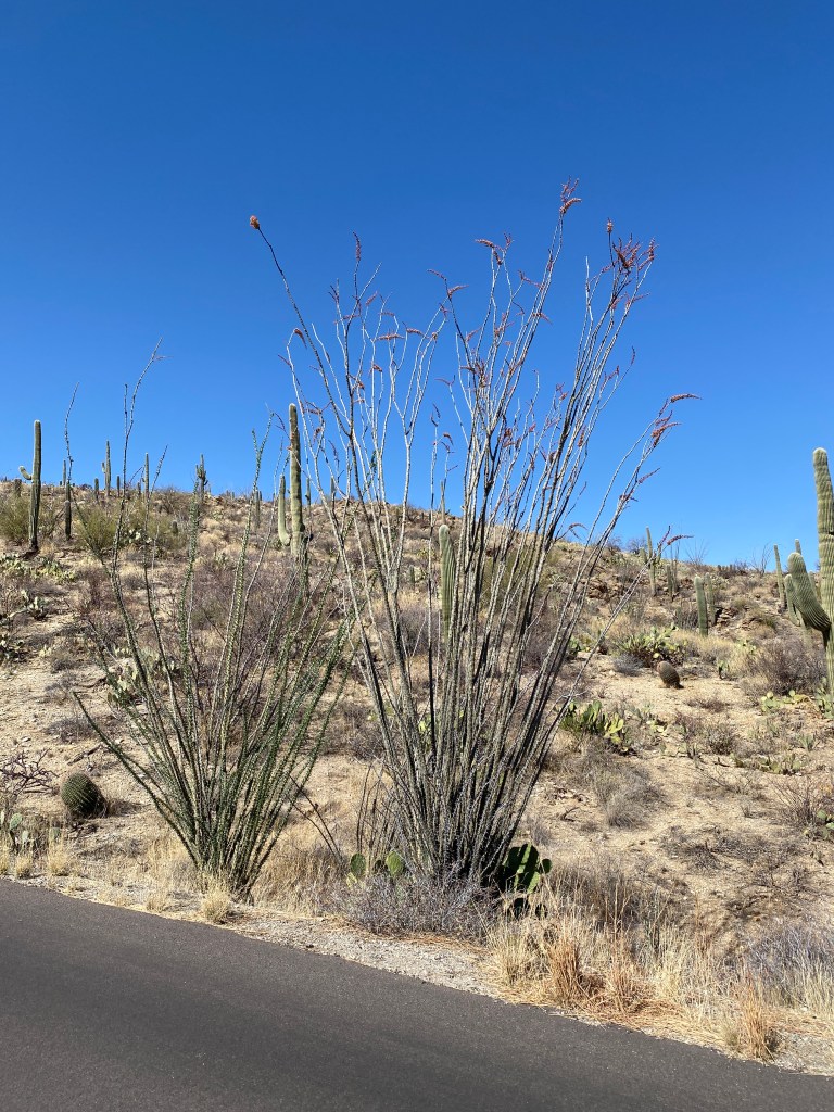

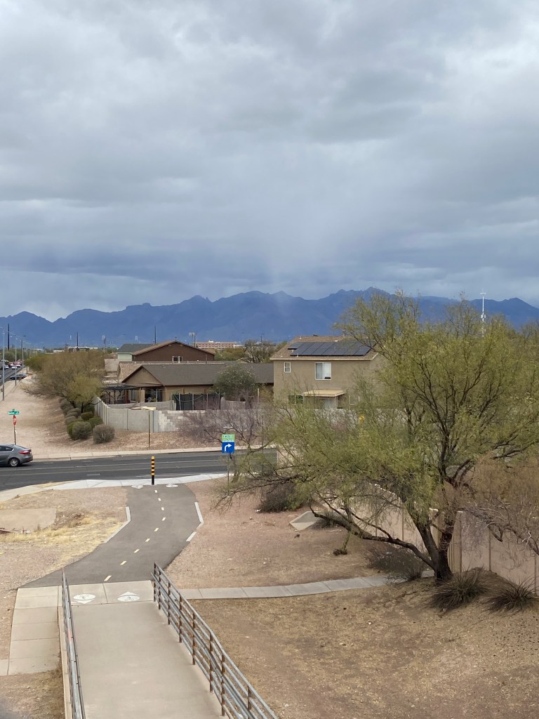
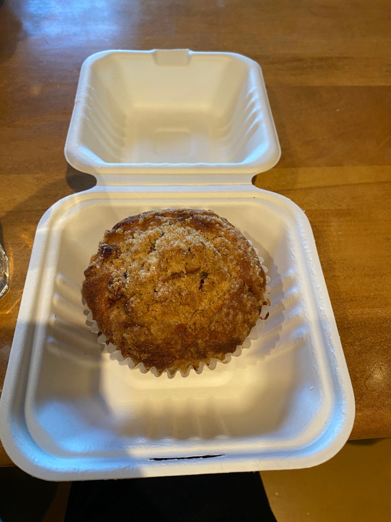
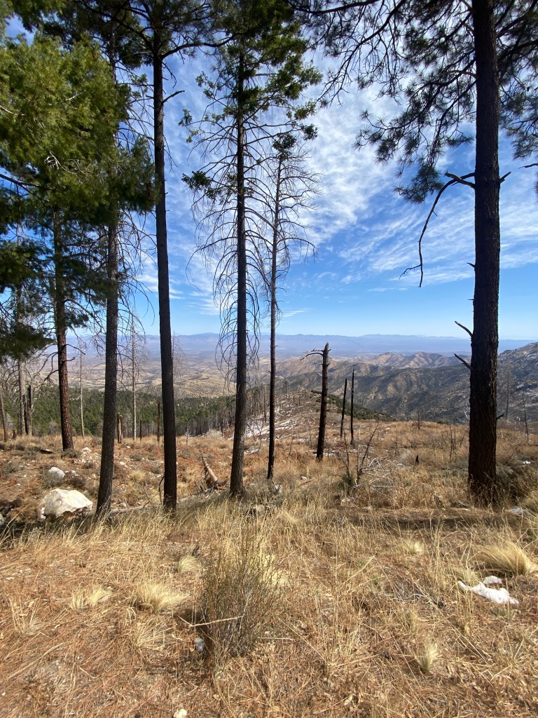
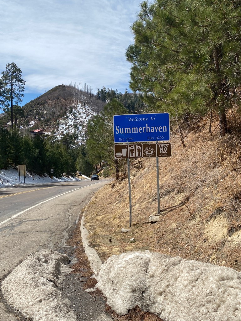
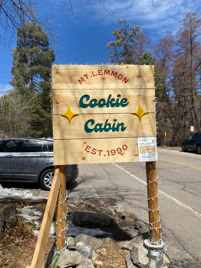
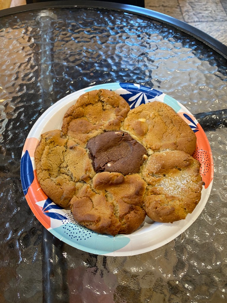
Day 3 start was a repeat of the previous day with breakfast at Le Buzz. Had the buckwheat blueberry pancakes with a muffin. Pancakes were good; muffin was meh. Wind was far more favorable for the ascent up Mount Lemmon compared to the previous day. A modest tailwind for the approach and most of the climb. Thoughts of any Herculean effort up the longest climb in AZ at 25 miles quickly vanished and became an effort of surviving the climb. It certainly isn’t the steepest, but it is relentless with a near constant 4-5% grade except for the ups and downs in the last 4 miles. A preponderance of 60-150 minute indoor Zwift rides is not an ideal training plan for conquering any 3-hour climb. The 7.5 hours of saddle time accumulated in the two days preceding Lemmon didn’t help matters. Not a lot of traffic, vehicular or cycling, on the ascent. A few interesting characteristics of other cyclists tackling the ascent: seemed to be more women than men; my age or older, and; the locals I spoke with complete some of the climb on a weekly or semi-weekly schedule but few go all the way to the summit. The two short climbs at the beginning of the descent are a significant detractor. As with most climbs, the scenery was stunning: saguaro cactus, hoodoo rock formations, cataracts (unfortunately dry). There was significant snow accumulation at the edge of the shoulder and in the tree line above 7000 feet, just beyond Windy Point. Road conditions from Palisades to Summerhaven were noticeably worse than the first 21 miles. Unclear if the higher elevation, 8000 ft, and accompanying weather are factors but that was an unnecessary and unneeded feature. Legs were flat. Spent. Couldn’t maintain the target power numbers. Feeling was reminiscent of Day 2 of first Grand Randonnee; just turning the cranks was uncomfortable. Finally made it to Summerhaven, discarded the extension up to the ski area, and the Cookie Cabin. Ate the BA provided wrap and some of the sampler cookie in the cabin before beginning the descent. Made a brief stop at the van near Windy Point for fluids then down and back to Le Buzz. The descent wasn’t technical and didn’t require much breaking but the wind gusts made for some adrenaline pumping moments. Garmin recorded a new 40K PR on the descent, but it was less than a minute faster than the previous PR on a flat, TT course. Wonder what it would’ve been without the stop at Windy Point? Finished the crumbled cookie while waiting for van to return.
Planned ride: Up to 50 miles with 5,000 feet of elevation
Actual ride: 63.36 miles with 6903 feet of elevation


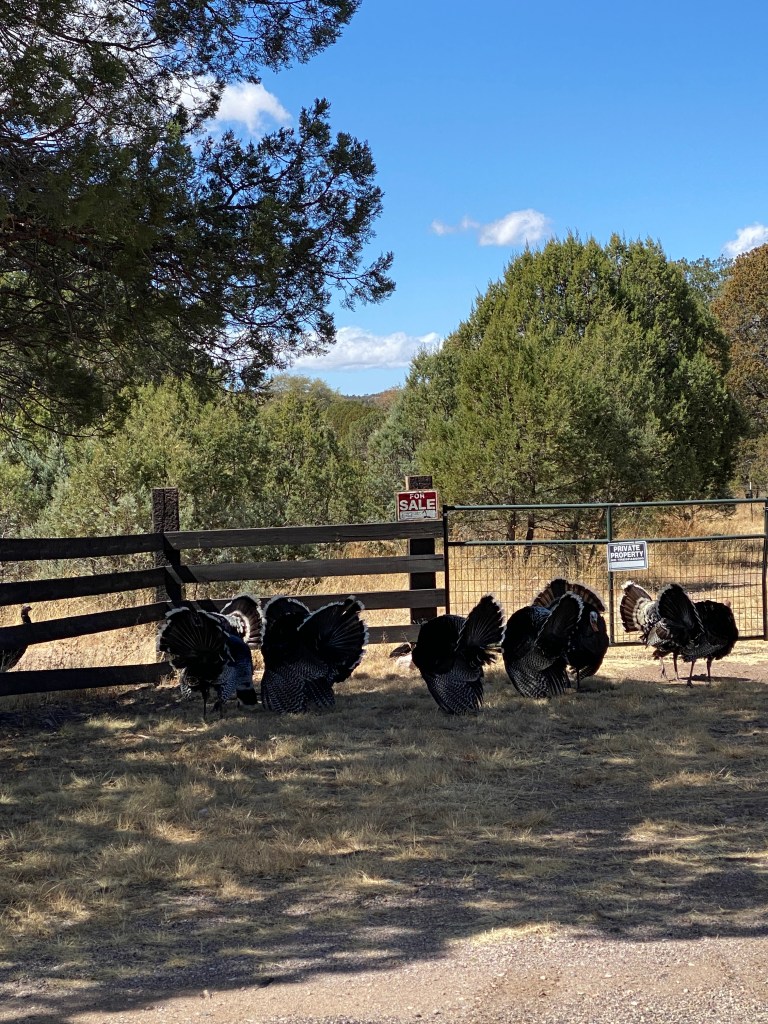
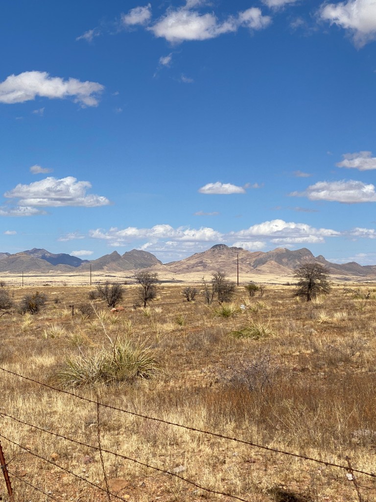
Day 4 began with breakfast at Loews followed by a 90-minute van ride to Kartchner Caverns. The tour of the young State Park, discovered in 1974 and opened in 2003 was impressive. Unfortunately no pictures allowed as any item that could be dropped, such as a cell phone, hat, gum, etc. were greatly frowned upon. After another salad-based, BA provided lunch (no complaints!), back in the van for an hour to reach our accommodations for the last two nights, Casa de San Pedro. A quaint B&B that offered freshly prepared meals and always had homemade cookies and pies available. Good thing cycling took up most of the time! Went for a short spin to stretch the legs after settling into the room. Legs were still flat but slightly better. Inclines still mandated easier gearing than usual to reach the top. Eastbound Route 92 is a terrible stretch of road; an abundance of expansion cracks, too many of them filled making jarring bumps! Not much in the town of Palmanes besides a Dollar General store and a high school. Covered a bit of gravel (and sand) on the return trip. This area of AZ is dominated by land features referred to as Sky Islands; isolated mountain ranges that rise from the surrounding desert and grassland.


Actual ride: 25.05 miles with 558 feet of elevation
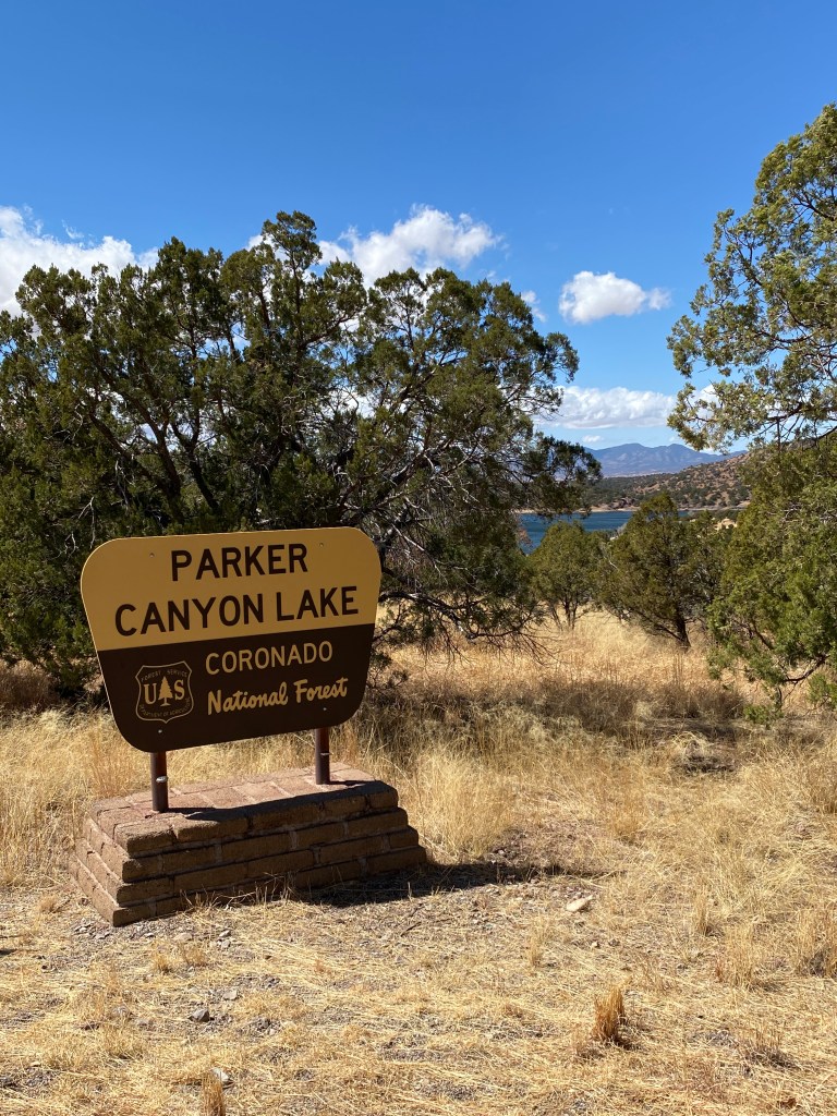
Day 5 began with a hearty breakfast and a 60-min van ride to Sonoita for the start of the mostly out-and-back route to Parker Canyon Lake. The word for the day was wind. When would it start and how bad would it be? Legs were continuing to recover but the constant rolling terrain and the wind on tap for the day would be noticed. Another interesting side note: used personal Garmin GPS (synced with power meter pedals) for performance data and BA provided Wahoo for navigation. Imported same gps file into each device but produced different climbing information. The number of climbs differed along with start and end points. Weird. Amazing scenery along the way and the wind did pick up as the day progressed. Was definitely looking forward to the return trip and mostly tail wind. Had a nice lunch at the lake then headed back. Destination was the huge metropolis of Elgin (population of 190) although it did have a nice winery/distillery. The last 4.5-mile stretch into the ‘city’ was fun. Strong tailwind aided 8:35 minutes, 31.8 mph and 107 average HR. Had a flight of wines and even purchased a couple of bottles to take home while waiting for the van.
Planned ride: 52.1 miles with 1996 feet of elevation
Actual ride: 52.59 miles with 3606 feet of elevation


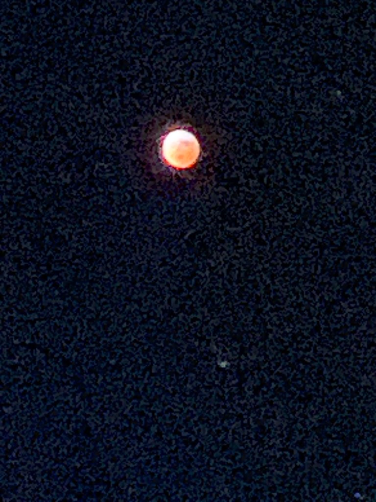
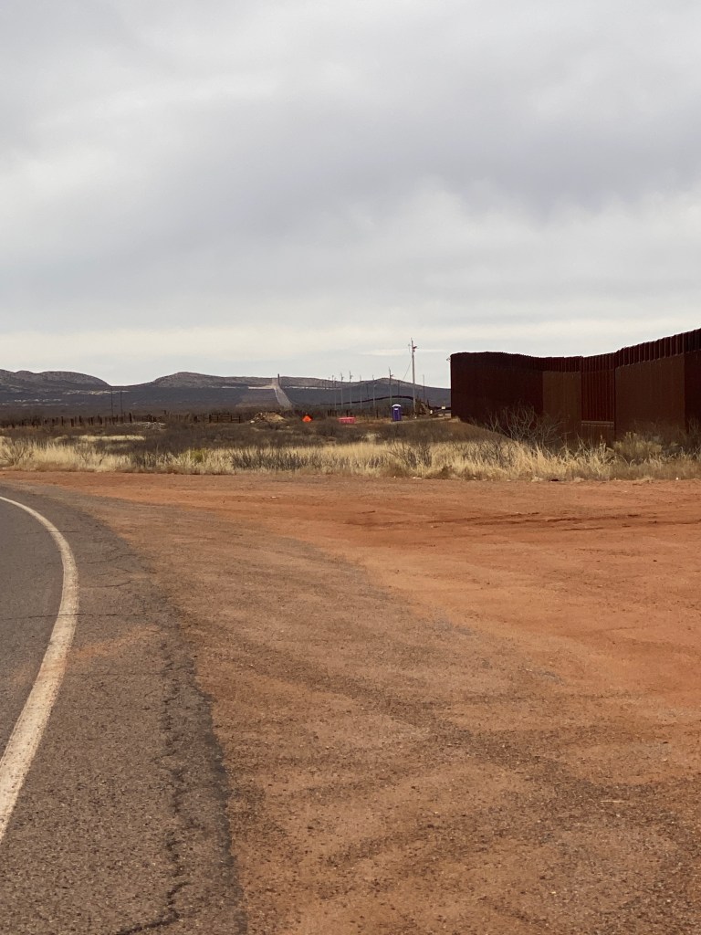
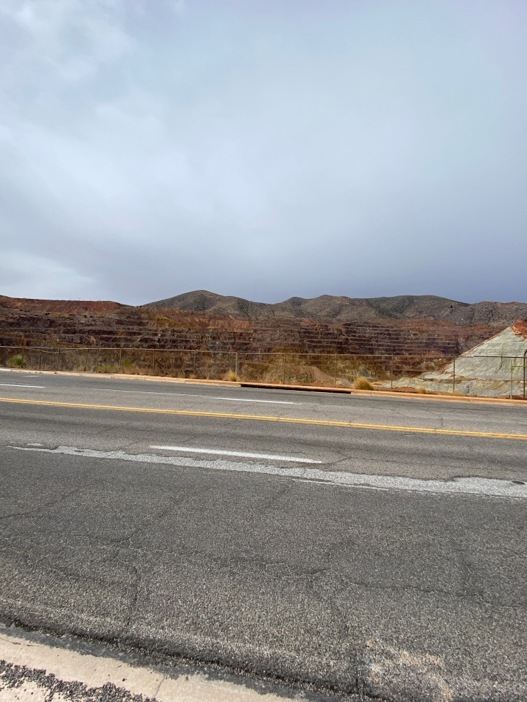
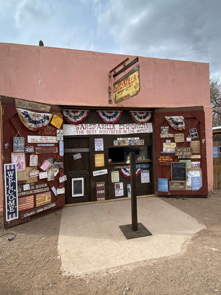
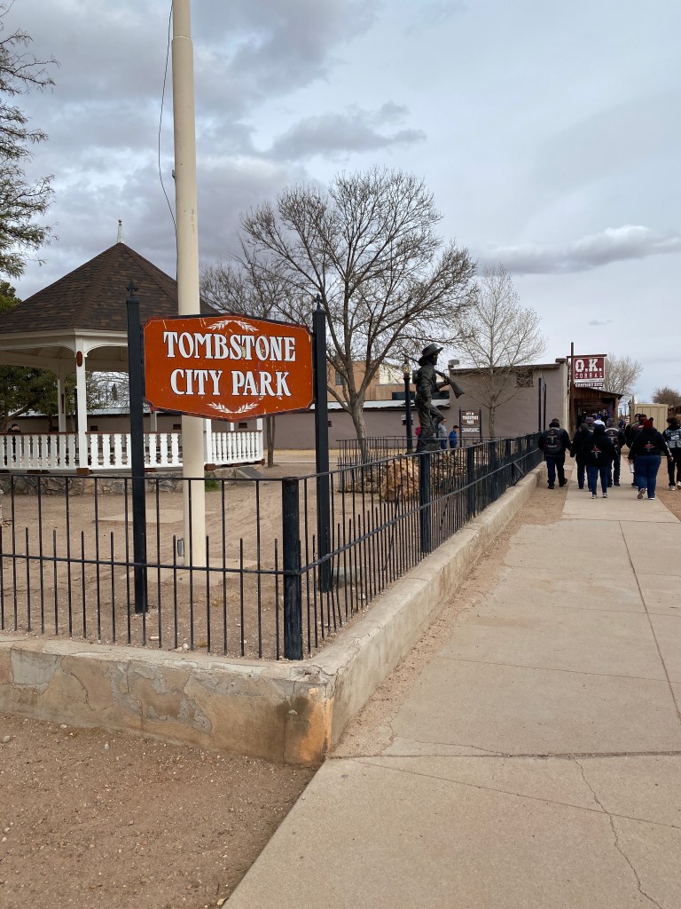
Day 6 and final day of AZ Sonora began with observing the lunar eclipse, red moon, then another great breakfast. Bags were packed and taken out to the van. So far the weather was not quite disappointing but certainly surprising. Expected warmer temperatures but not complaining as heat wasn’t a factor at all. Due to the higher altitudes of most day’s rides, the sun’s intensity was easily overlooked. As a precaution, wore arm skin sleeves every day but still managed sunburn on a few spots: left wrist on both sides of my watch; left ear, and; a thin line on both thighs just below the bottom of bib shorts. The last day was significantly cooler and necessitated waiving my minimum, outdoor cycling temperature threshold of 40°. Was 39 degrees at start which meant jacket, full fingered gloves, and knee warmers. Today’s ride started from the B&B, through Naco, and ended in Bisbee (population of just under 5000), a former copper mining town. Had to follow a detour just prior to entering Naco but it quickly returned to the established route. Regardless of personal views on immigration, The Wall is an imposing site. The border wall system is part of over 180 miles of panels intended to provide “persistent impedance and denial to illegal cross-border activity.” The lead in to and through Bisbee was uphill for about 8 miles. It wasn’t steep but the climb was noticeable. The city had changed – more people, open businesses, and color – since my last visit over 15 years ago. Finished the ride then had to wait about 20 minutes for the van to arrive. It was a long, cold wait. Didn’t want to enter any of the businesses with the bike remaining outside. Once it did arrive, changed out of cycling clothes into warmer, street clothes, then off to find lunch. Stopped in Tombstone for 30 minutes while Bikepacker refueled the van. Had a sarsaparilla and purchased a belt since I failed to pack one!
Dropped off at the same hotel where the week started bringing an end to a great cycling adventure, adding AZ to the list of states. Thanks to Bicycle Adventures for an awesome experience.
Planned ride: 28-37 miles with 1,721 – 2,435 feet of elevation
Actual ride: 37.39 miles with 2,441 feet of elevation


Trip Totals
297.09 Miles
20,184 feet of elevation
20 hours of saddle time
AZ is 39/50
