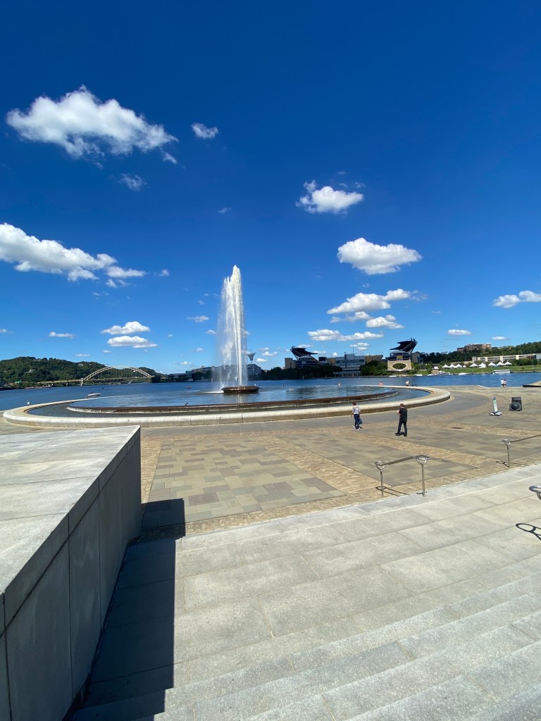
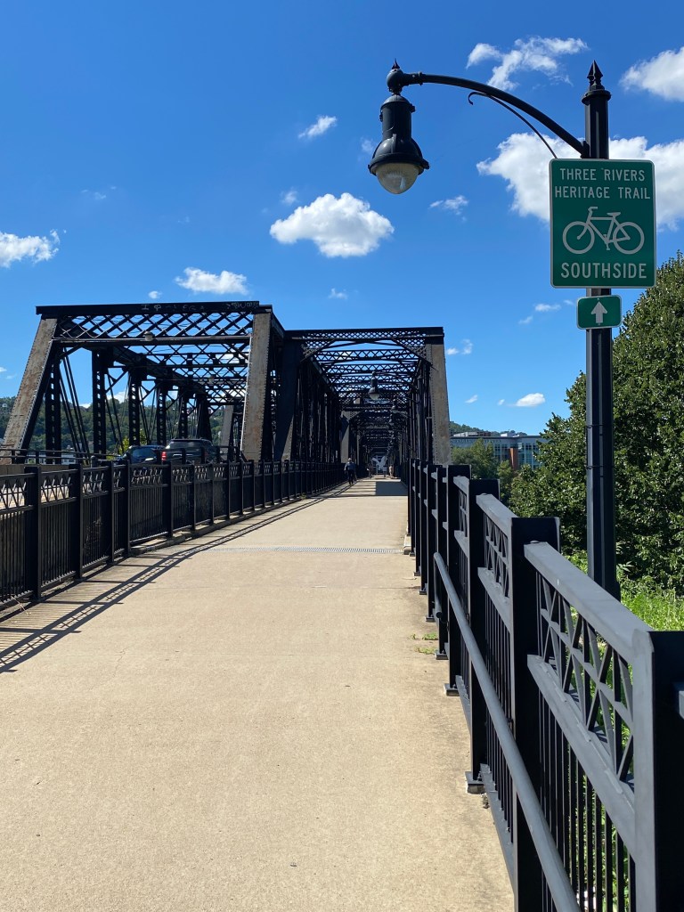
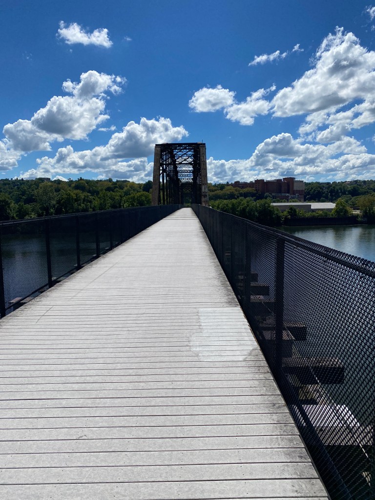
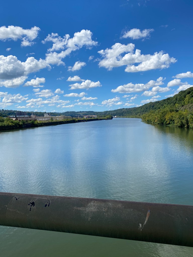
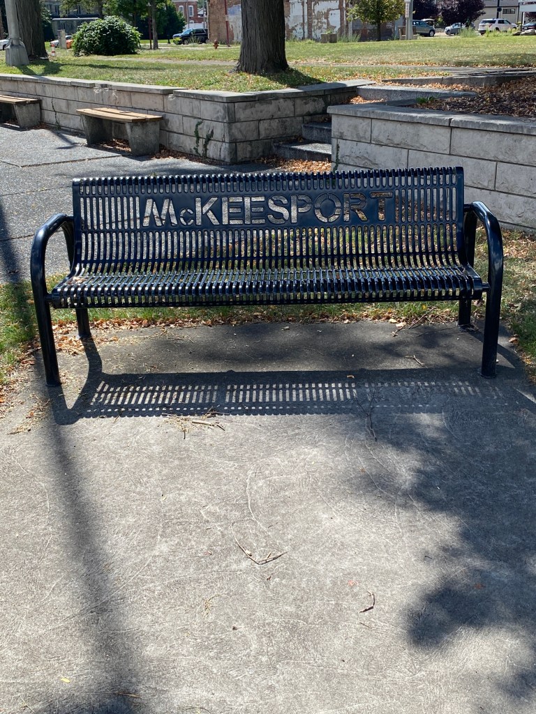
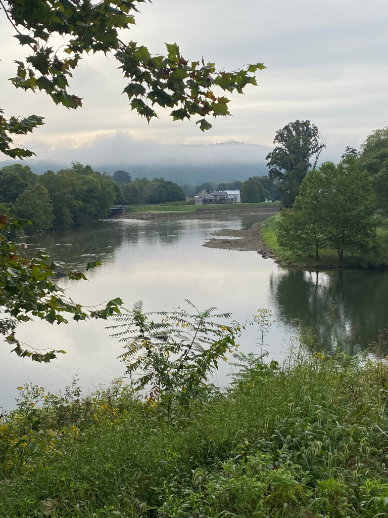
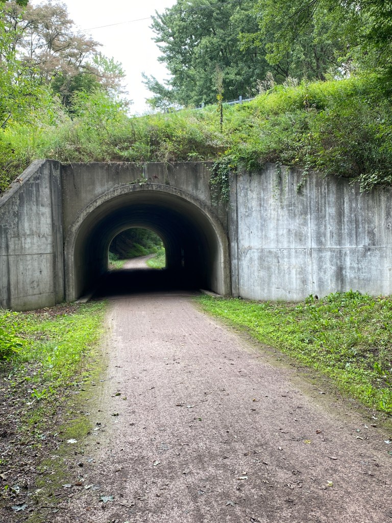
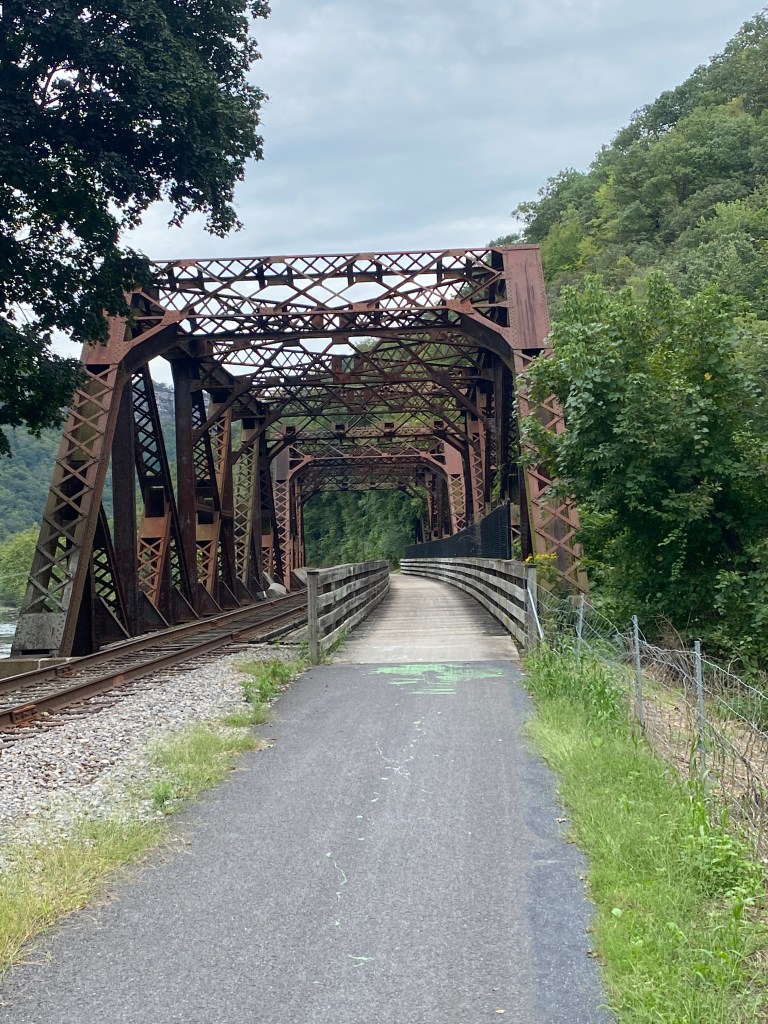
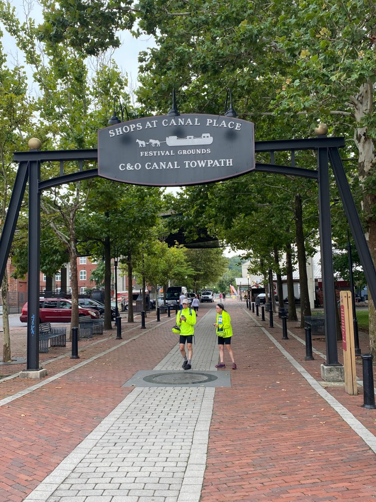
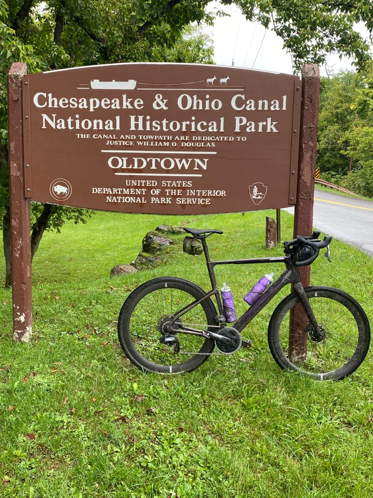
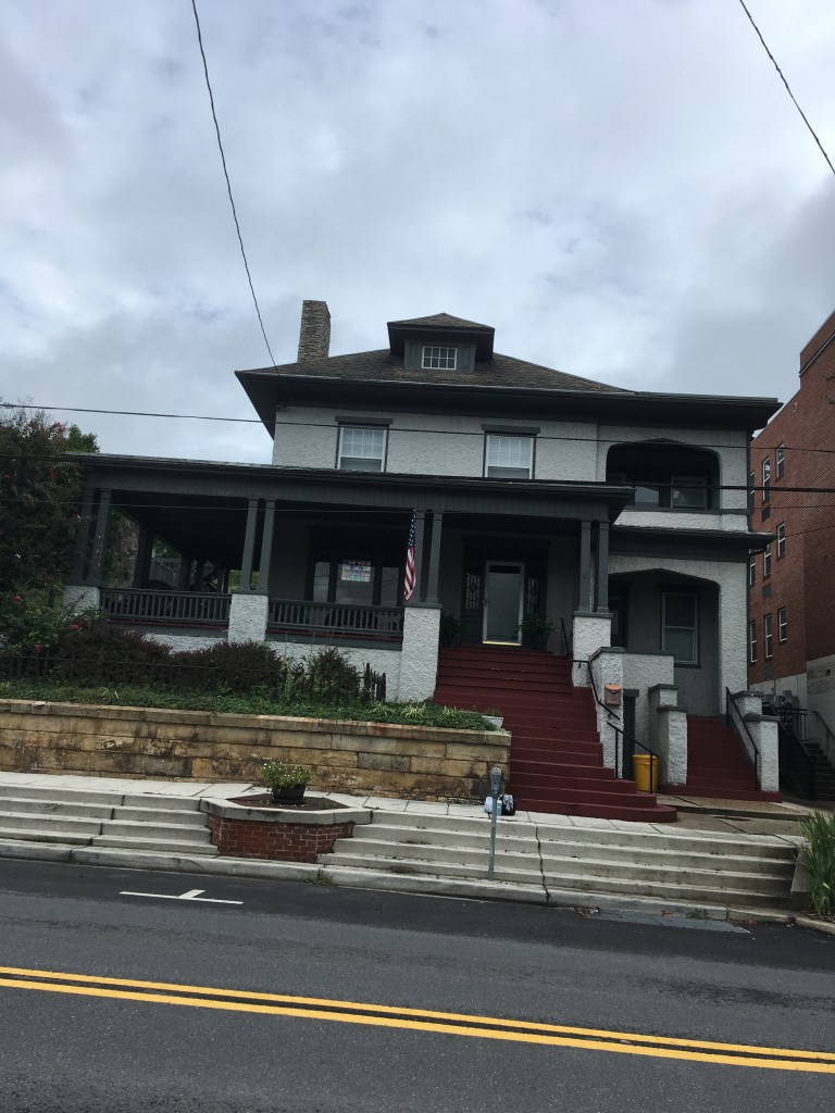
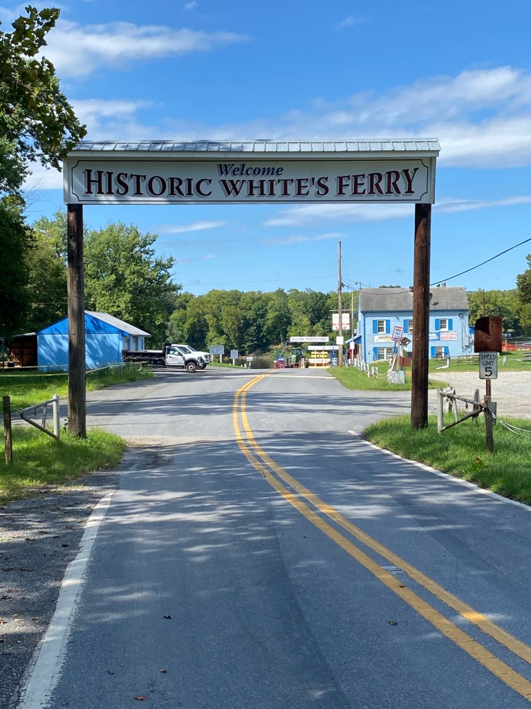
Able to check off another Bucket List item with support from the Missus. Planned a 5-day trip to complete the Great Allegheny Passage (GAP)/Chesapeake and Ohio (C&O) Canal trail ride from Pittsburgh, PA to Washington, DC. Most of the GAP is converted from abandoned rail beds, specifically the Pittsburgh and Lake Erie Railroad which connected Youngstown, OH to Connellsville, PA. Numerous P&LE RR markers are visible along the trail. Mile markers are easily visible as they’re white, 1 foot square and 4 feet tall. The ride started after a 4-hour drive to Point State Park in downtown Pittsburgh where the three rivers, Ohio, Allegheny, and Monongahela, meet. The GAP begins as asphalt heading east, paralleling the Monongahela. After a few miles, it crosses over to the south side where it predominantly stays. The first introduction to crushed limestone occurs roughly nine miles in, for only about a 1 mile at the Waterfront district, near the Sandcastle Water Park. The trail crosses back to the north side and switches to the Youghlogheny River before entering McKeesport. The dedicated trail transitions to well-marked bike lanes alongside streets with a couple of short, minor detours due to construction. The Youghlogheny is a smaller river with a color much in contrast to the vivid aqua displayed on the Roam. Gravel started at mile 20 and is much better condition than much of the paved portion. Encountered a few more roads navigating through Connellsville then back to gravel. Far more trail heads with accompanying towns within the first 30 miles compared to last half. Fair bit of traffic but not congested. No big groups – several outfitted for bike packing to include families. The kids did not look happy. There were long stretches with no others and the trail had lots of shade. Crossed over Youghlogheny twice coming into Ohiopyle to conclude the first day. Our trusted 2014 Ford Escape decided it didn’t like the back roads and hills of Pittsburgh and slowed to a crawl while displaying nearly every warning light on the dash. Temperature gauge was reading high but it didn’t smoke. The Missus was able to add some coolant after a couple of hours. All of the warning lights turned off except the Service Engine Soon. Good thing it wasn’t going far each of the next four days. The Missus did not need that added bit of anxiety in each day’s drive to the next location. Nothing fancy food-wise or accommodations: Falls Market Inn.
Summary: 77.78 miles Moving time: 4:34:35 Total time: 4:55:34 Elevation gain: 423 ft


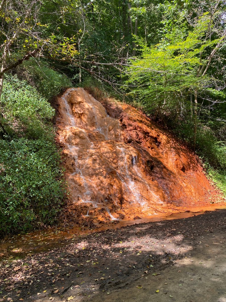
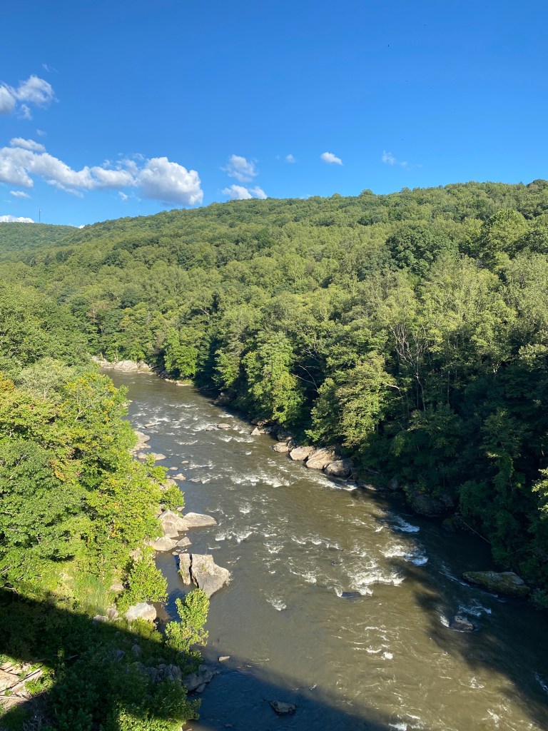

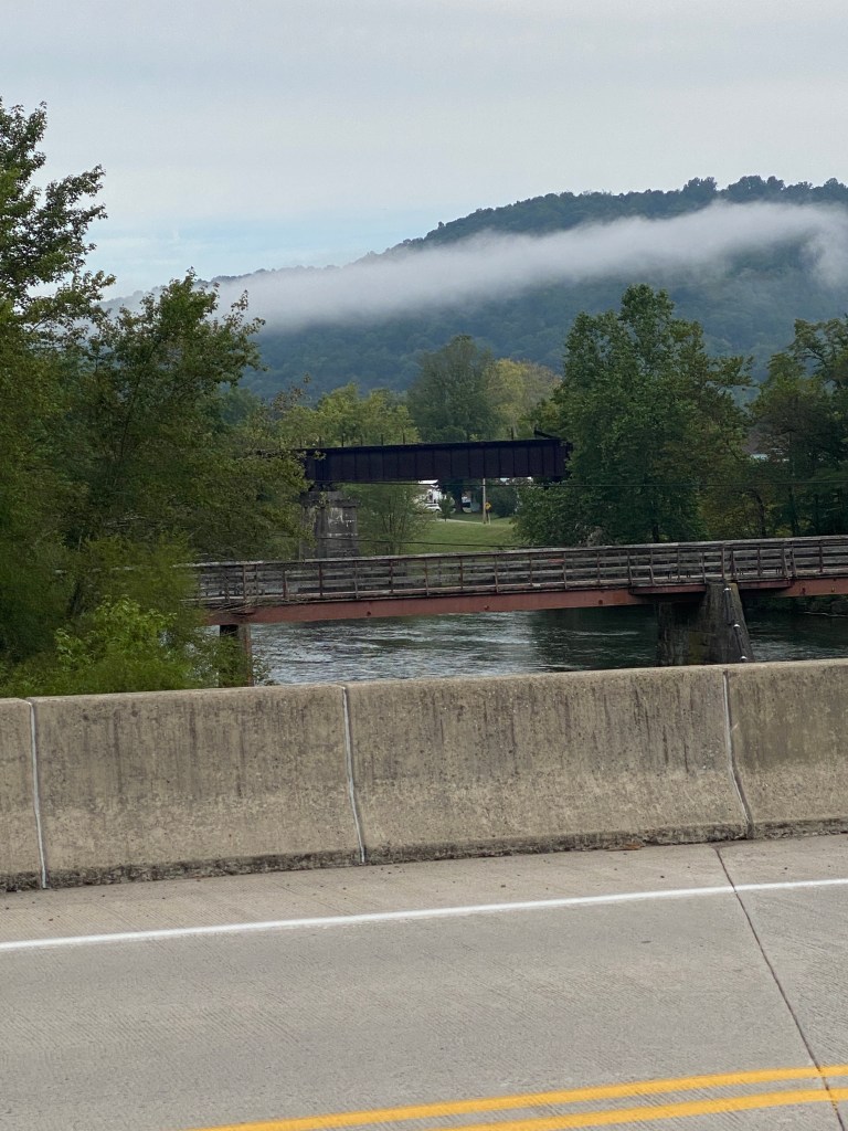
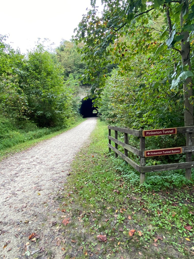
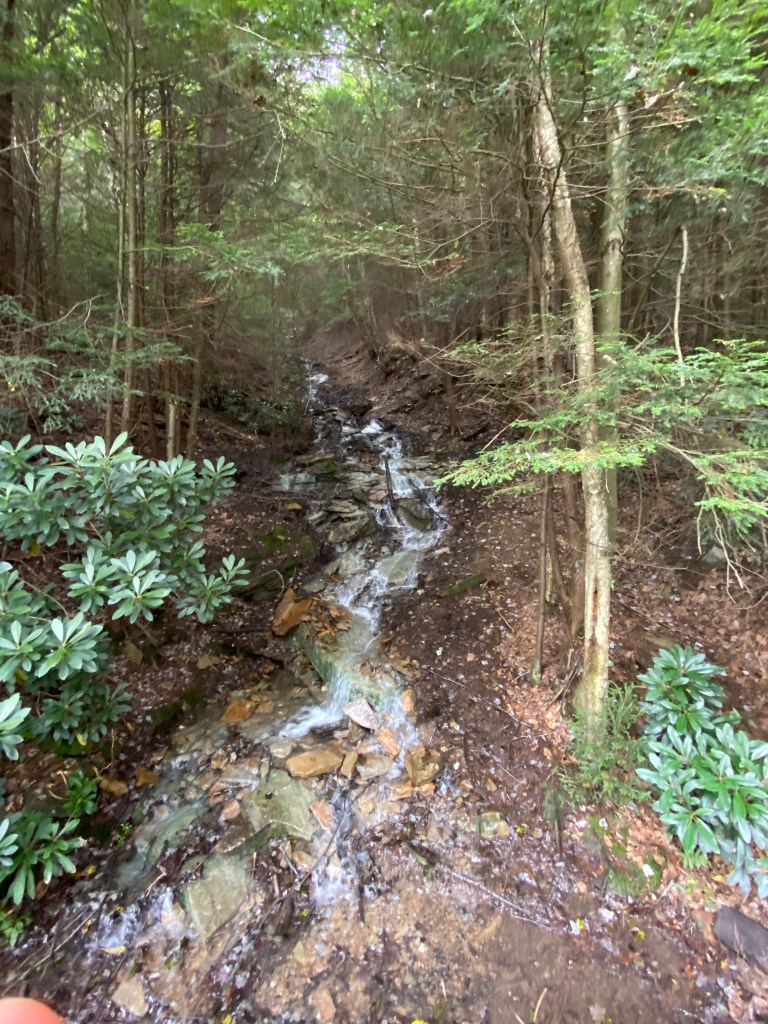
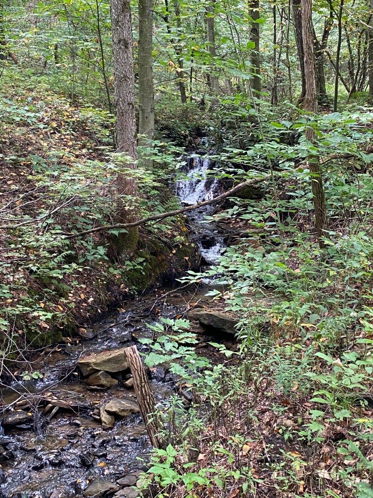
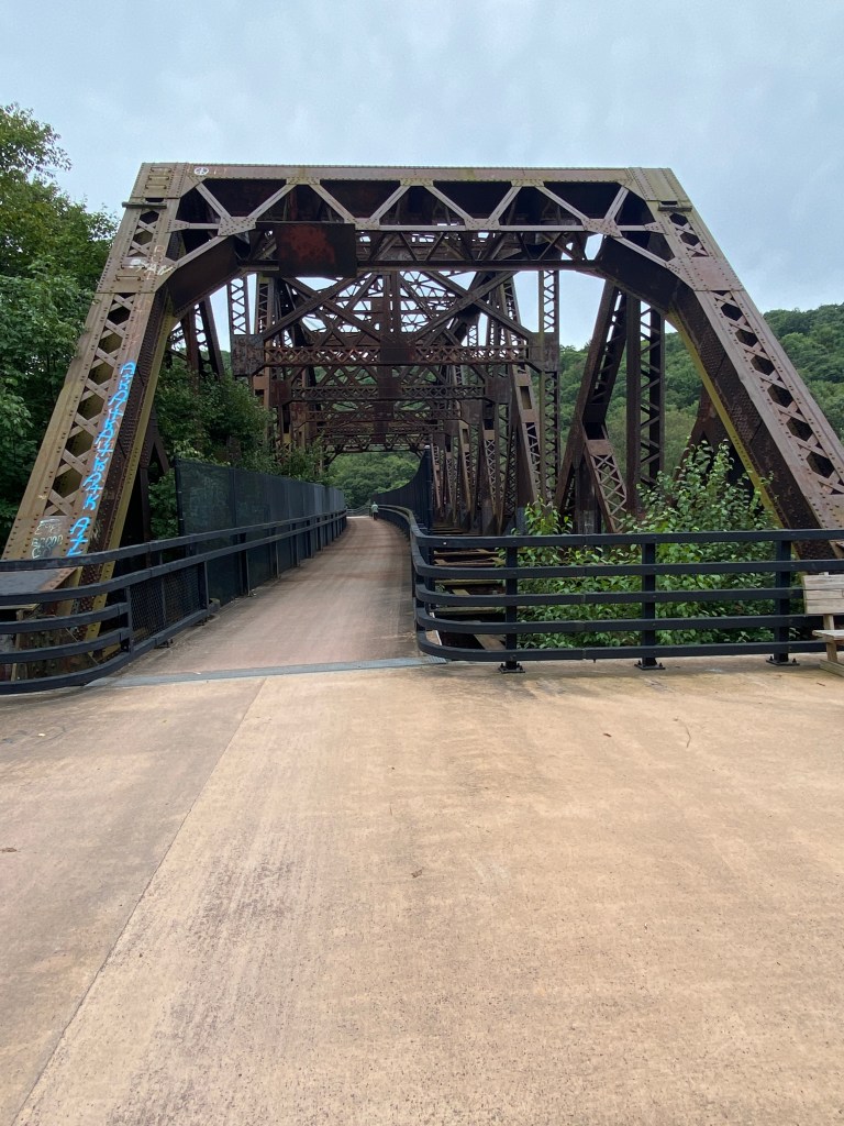
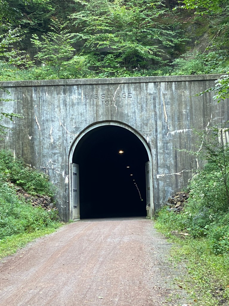
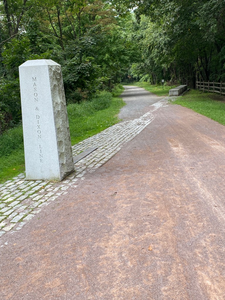
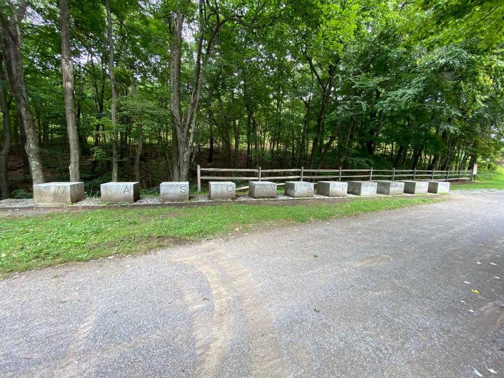
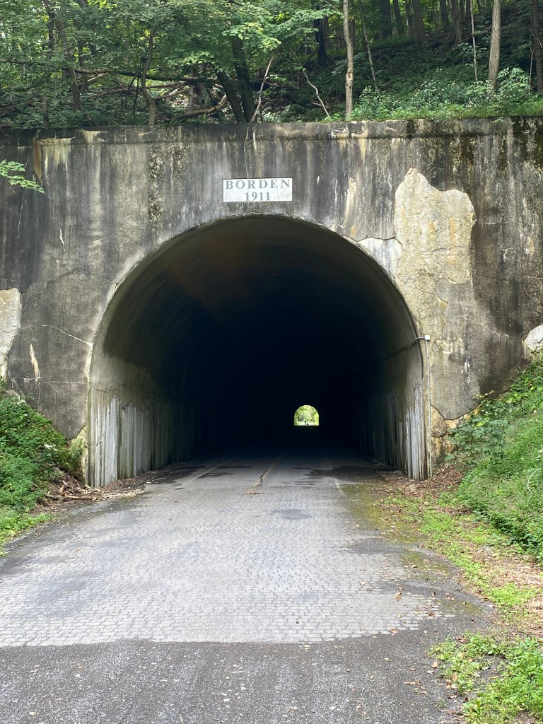
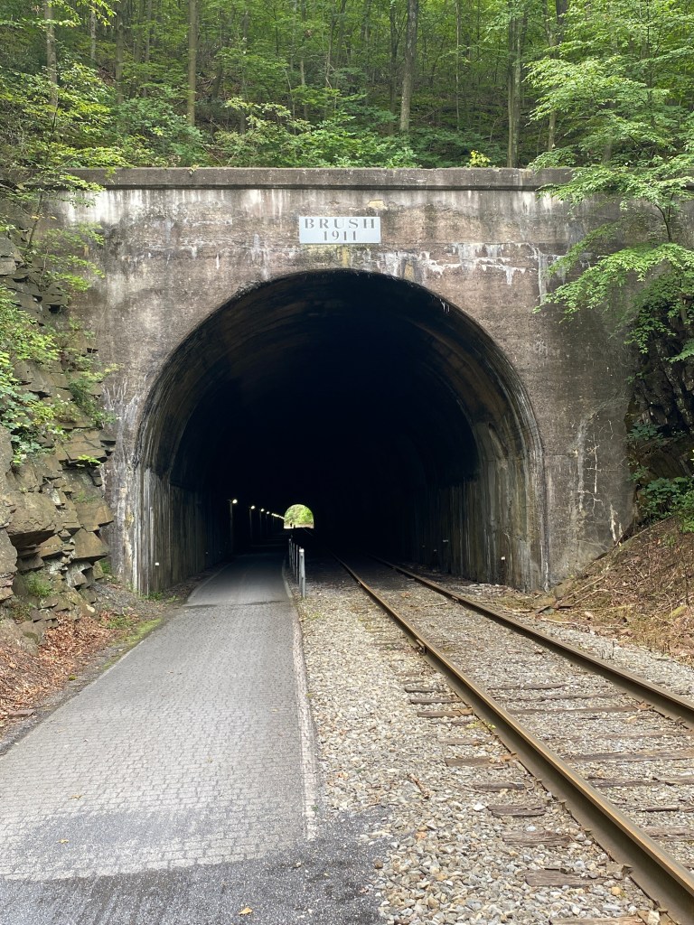
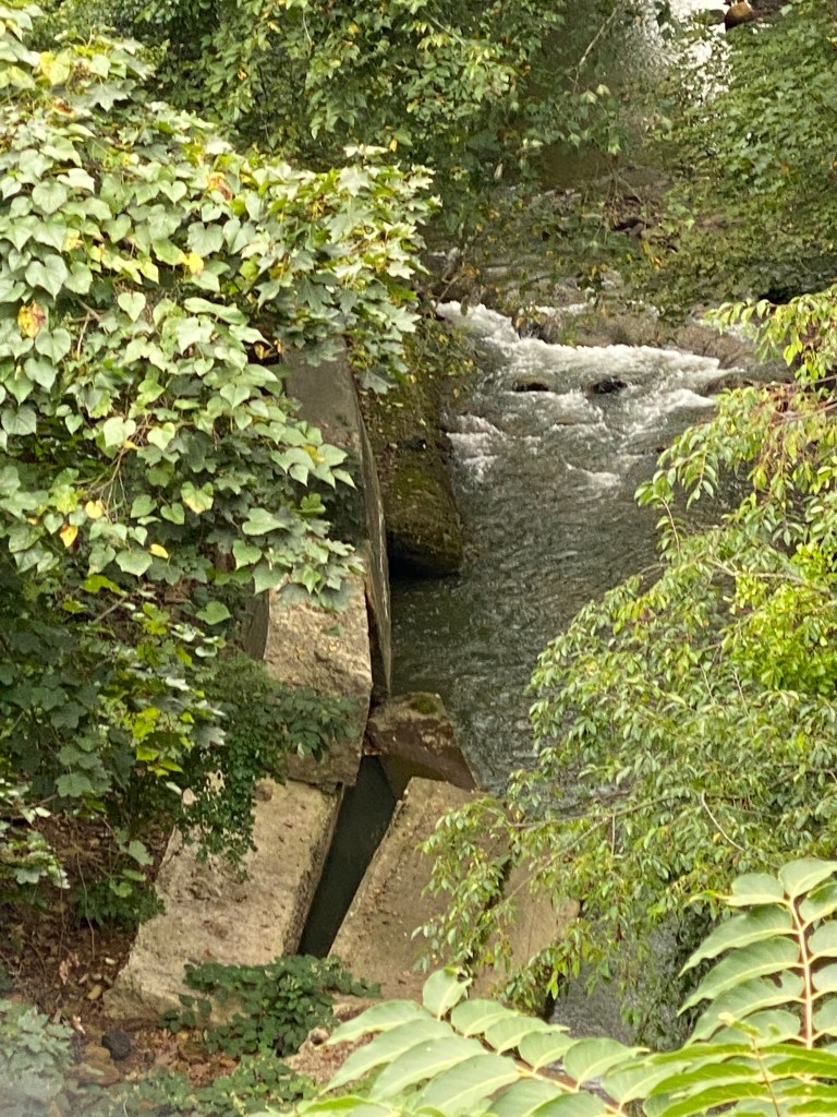
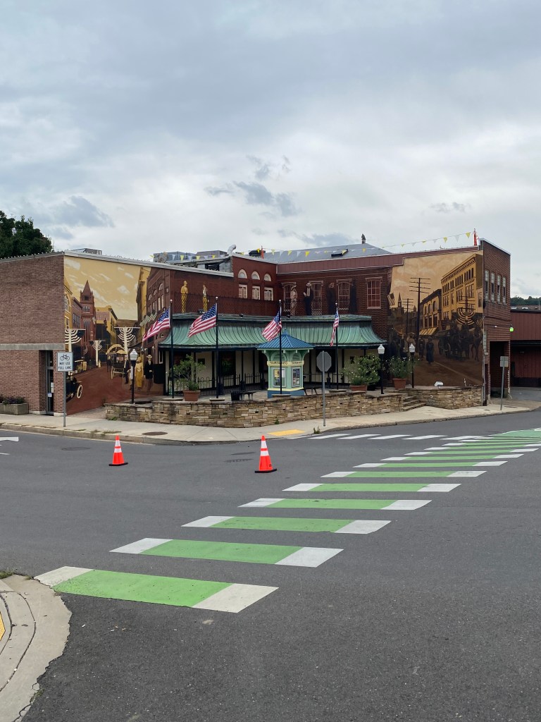
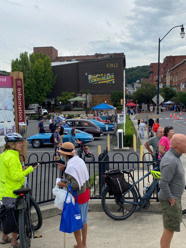
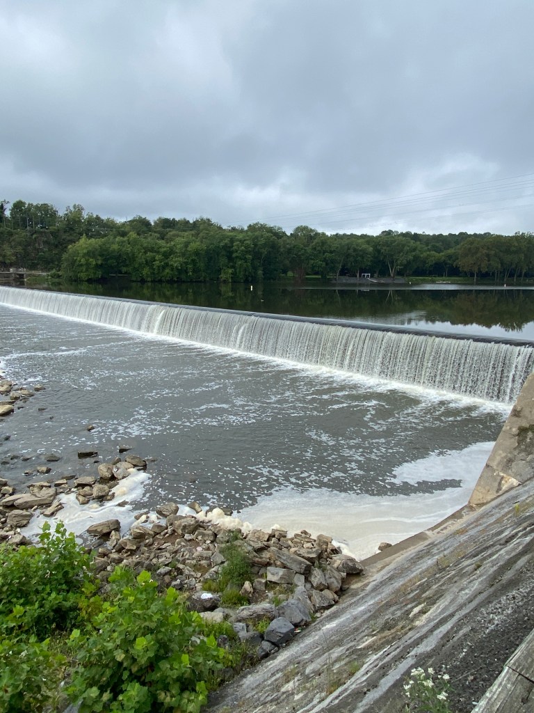
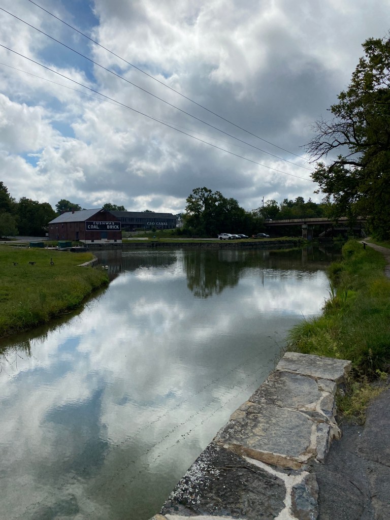
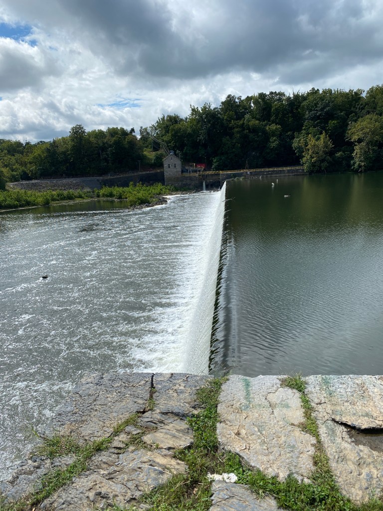
Day 2 ride started at 0840. Had 3 sneezes to begin the day and while all uncomfortable, none were as painful as the one after cracking 3 ribs. Trail was tree-lined and less populous to Confluence. A little bit of road, a bridge really, in Confluence then picked up a new river, Casselman R. Passed back and forth from north to south side several times over the next 30 miles before bidding adieu to a significant waterway until Cumberland, MD. The GAP is dotted with memorial benches predominantly placed to overlook the river although a few face the trail. Some are even positioned on the opposite side of the trail facing the tree line with views of small cascades. The GAP veers further east through farmland, mostly corn, and the first signs reminding horse traffic to stay to the left. The Keystone Viaduct crosses high above highways, Flaugherty Creek, and active railroad lines towards the first of several wind farms positioned on the ridgeline. In succession, the GAP passes through 4 tunnels: Pinkerton is 849’ long at mile marker 51.9; Big Savage Mountain, lighted, completed in 1912 is 3291’, at mile marker 22; Borden is 957’ long at mile marker 17.9, and; Brush is 914’ at mile marker 6.5. Interestingly, the GAP shares the tunnel with an active railroad tracks and cyclists are reminded not to enter the tunnel if a train is approaching. Other noteworthy landmarks along the way include the Eastern Continental Divide, the highest point on the GAP at 2,392 ft above sea level and separates the Chesapeake Bay and Mississippi River watersheds, at mile marker 23.7 and the Mason-Dixon Line at mile marker 23.7. Once passing through Big Savage Mountain, the final 22 miles are downhill, averaging a modest -1.5%. Also on this section, RR tracks replace rivers as a trail companion with many crossings to switch between the left and right side. The last 2 miles into Cumberland are paved. Side note: the RWGPS elevation profile of the route is way wrong as it reflects nearly 6,000 feet of climbing over the entire GAP/C&O trail. Linked up with the Missus and made a short recon of the C&O Canal trail. It’s a far cry from the GAP – like night and day. It was a puddle-strewn, double track mess of a trail. Turned around after 4.5 miles and headed to our accommodations: The Inn on Decatur St.
Summary: 71.73 miles Moving time: 4:03:24 Total time: 4:45:24 Elevation gain: 675 ft


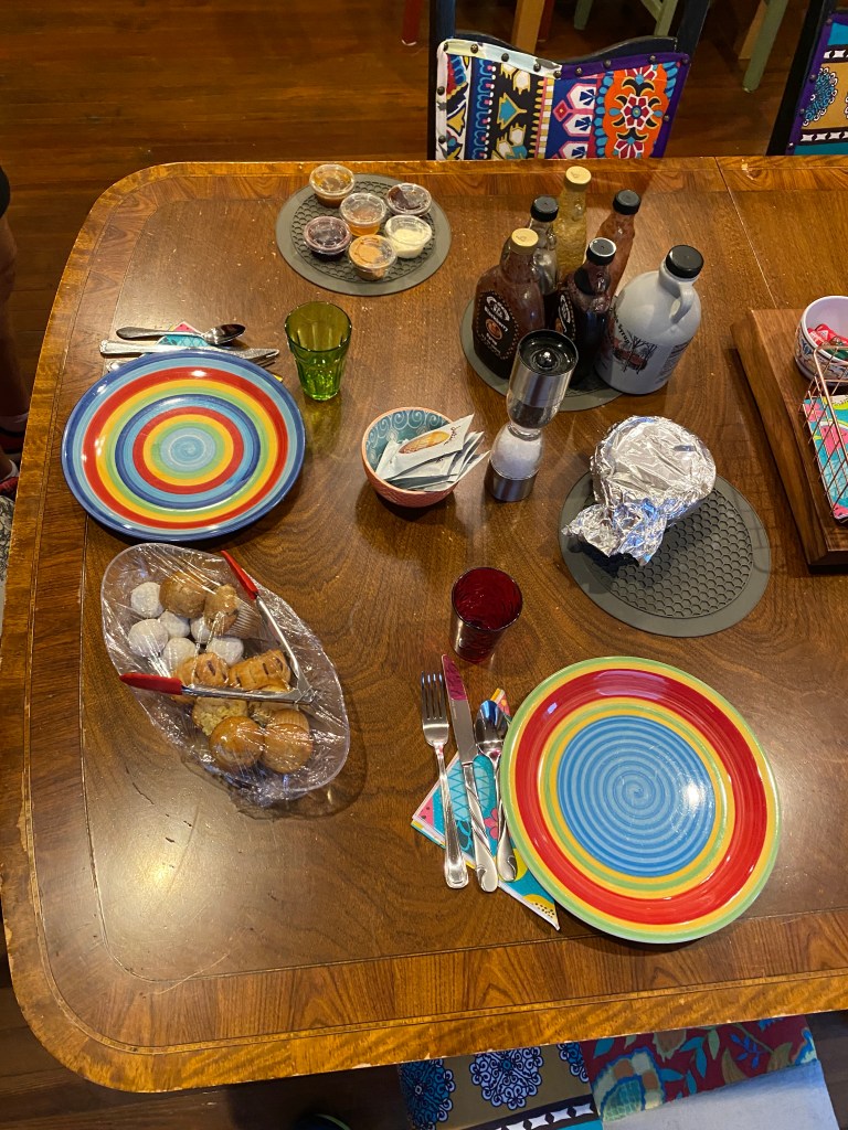
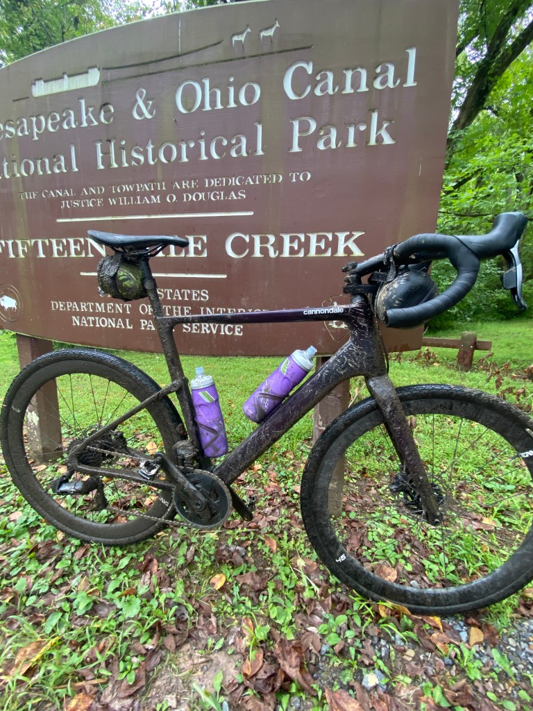
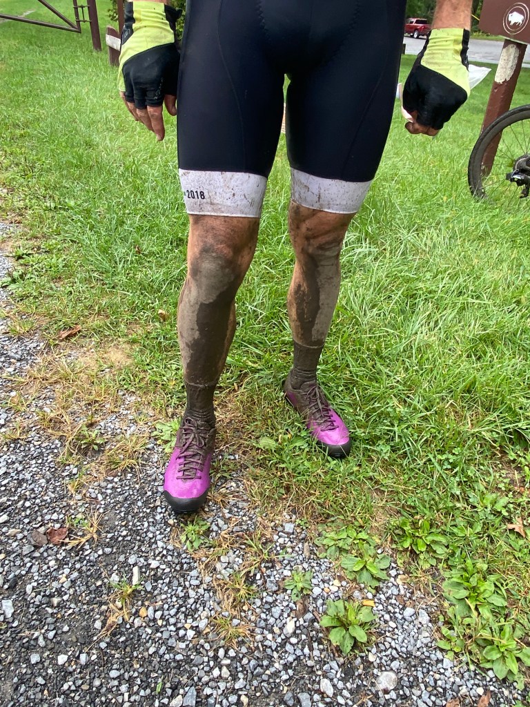
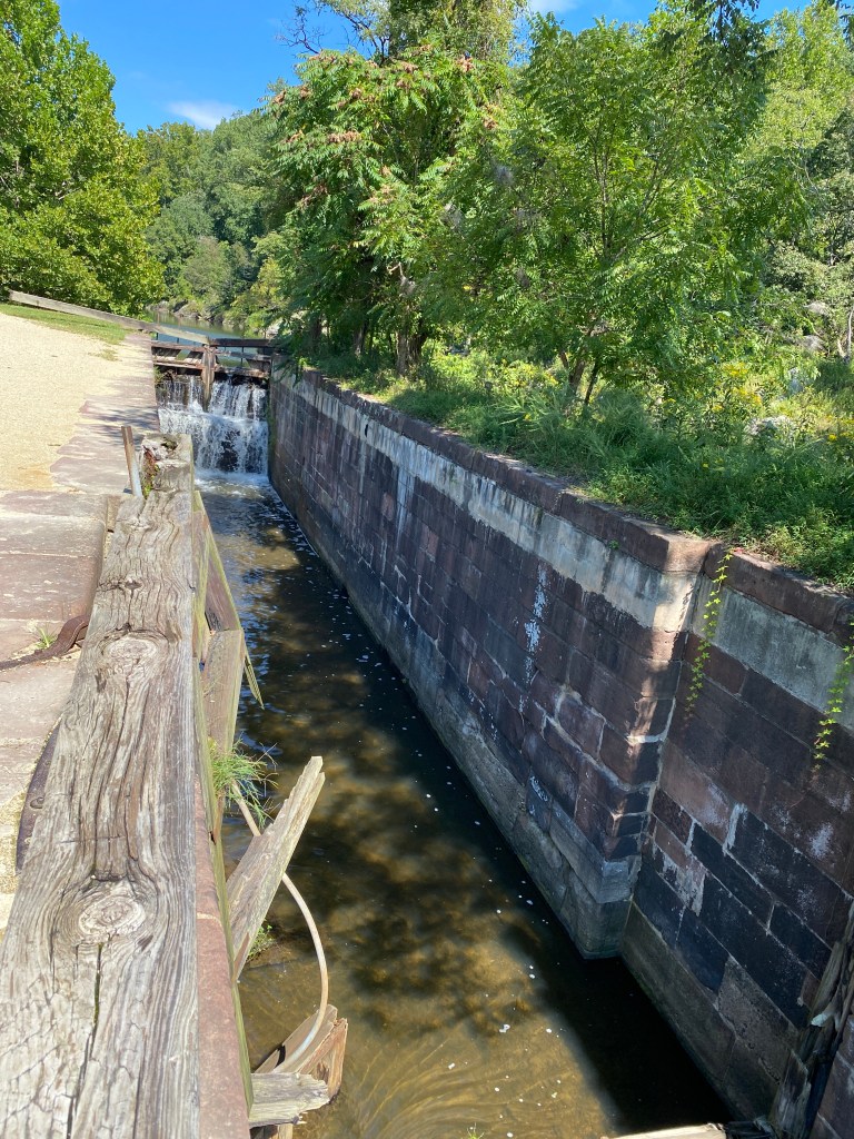
Day 3 started a little later as weather forecast called for rain in the morning. Had a spectacular, but filling breakfast of French toast, scrambled eggs, blueberry crisp, various types of bacon and sausage, fruit salad, regular toast, mini muffins, and doughnuts. Gail just kept bringing more food out. Ate way too much and stomach never recovered. Actually took several days to feel ‘normal’ again. Learned about the closure of the Paw Paw tunnel and the associated detour. It was only ~1.5 miles but supposedly very rugged with an estimated planning time of 1.5 – 2 hours to navigate. Gail provided contact information for someone who regularly ferry’s cyclist around the tunnel, for a small fee of course. The Missus was all in on reaching out but remained noncommittal. Couldn’t imagine the detour taking that long. C&O Canal trail is not as wide or as well maintained as the GAP. Not a fair comparison at all. The weather was iffy but mostly dry except 15’ a light sprinkle at noon just before detour around Paw Paw tunnel. Repeat: the C&O canal is in terrible condition – some single, lot of double-track, full gravel/dirt with mud puddles galore. Speed was reduced to an average of 14 mph. Not much scenery watching as conditions required constant vigilance on the line ahead. There’s a total of 75 locks – most are pretty ragged and many don’t have any water in or around them. Quite the shame. Not many other users on this section; maybe 10 cyclists, dog walkers and 2 solo walkers. The tunnel bypass was pretty sketchy going up – tree roots, shale rock, and steep slope all combined to force more walking than riding. Encountered a group of 4 other cyclists at the top loading their bikes onto a bike rack getting a lift down. The east side resembled a wide, gravel fire road. Steep but manageable with a fair bit of brakes, able to ride the entire way down. Total detour time – 25 minutes. At 15 Mile Creek, the surface transitioned to a wide, smooth, red crushed sandstone similar to the GAP albeit a different color. Initial thoughts were, “Awesome,” should be able to make up some time lost on the bypass as able to average 17+ mph. Alas, it only lasted a few miles then reverted to mostly double track. The last section had less mud but bushes and trees encroached the trail. Encountered 5 downed trees: 2 rather significant, could’ve bunny hopped one in better conditions (both physically and environmentally), moved one off the trail and though about doing the same with another, larger one but no sense aggravating existing injuries. Not nearly as many memorial benches as the GAP. Saw more folks camping. Really not interested in that. Texted the Missus about obtaining bike cleaning service at LBS, C & O Bicycle, in Hancock. She was able to arrange and shop was ready upon arrival. Easy to locate the shop as it’s right off the trail. The also offer outdoor showers (including soap, shampoo, and towel) for a nominal fee of $5. Able to clean body and bike in short order. Fantastic! Would’ve bought a kit there but they only carried jersey and shorts, no bib shorts. Short ride to 1828 Trail Inn B&B. After unloading the vehicle, storing the bikes in the garage, and a short meet-and-greet session with the owner, walked across the street to Buddylou’s Eats Drinks & Antiques. Quite the eclectic collection of stuff on the walls and rafters. Not bad food, just nothing especially noteworthy.
Summary: 61.27 miles Moving time: 4:23:29 Total time: 4:49:04 Elevation gain: 416 ft


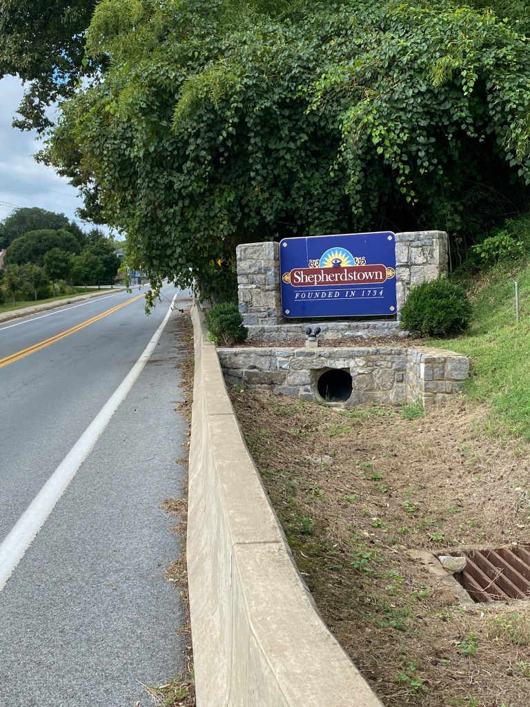
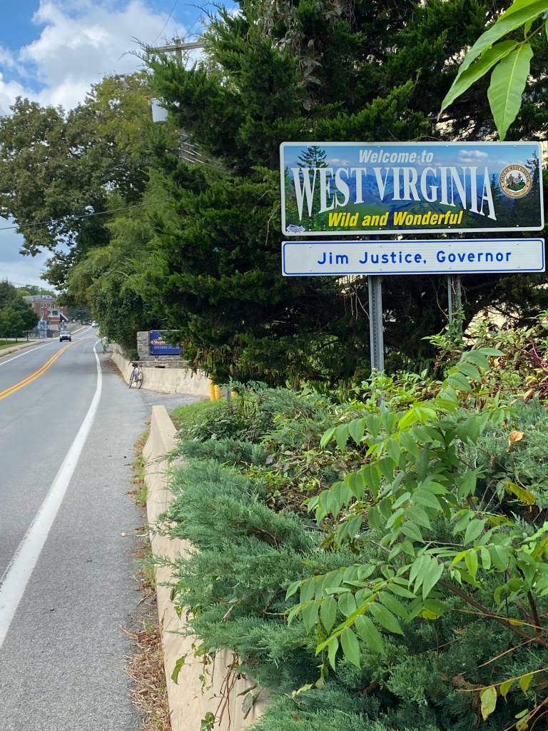
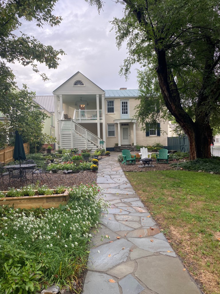
Day 4: Stomach still wasn’t quite right – a little painful actually. Breakfast today was a SW breakfast bake – eggs, potatoes, corn and spicey sauce along with muffins! Probably not the wises choice for a meal considering the stomach unruliness but it smelled good; tasted good as well. Couldn’t let an opportunity pass to try someone else’s muffins. The pumpkin nut muffin was excellent. The banana nut muffin was a little dry and dense. Regardless, it was substantially different than the previous day’s repast besides quantity. Moved up departure time by 30 minutes, our host readily accommodated the change, as rain was forecast to hit early in the afternoon. Fully expected to get rained upon but wanted to minimize the duration to an hour give or take a few. Loaded up the vehicle and started on the paved rail-trail that parallels the C&O Canal trail for 10 miles out of Hancock. The missus had just under an hour’s drive to Shepherdstown, WV and our next and final stay. Thankfully, the vehicle hadn’t experienced any additional meltdowns since the first day although the service engine soon light remained on. About a 1/2 mile after transferring from the rail-trail to the C&O trail, stopped to assist 2 older cyclists headed in the opposite direction looking for the rail-trail. Their bikes were loaded with bikepacking gear and they were reviewing various maps and information books when they flagged me down. Luckily the morning route covered both so was able to assist, otherwise, would have been no help. Don’t know where they came from or when they started but it was mid-morning and they looked beat and very much looking forward to getting onto firmer ground. The intersection was just ahead for them and they seemed greatly relieved. Lots of double track on this section with far fewer standing puddles but mushy areas still prevalent. Only encountered 4 downed trees but also had a detour. Thought maybe I could sneak through the detour so proceeded on the canal trail which quickly turned to thick, soupy mud. Still able to pedal along but once again the bike would need another shower at the end of the day. Passed a couple of work trucks but then could see quite a bit of repair activity underway about a half mile further up the trail. There would be no maneuvering through that so had to turn back and take the detour onto local roads which had more climbing than any section of the trail. It was a very bike-unfriendly return to trail with trucks parked in the intended path and a very steep, mulch-covered twisting descent back to the C&O. Witnessed one bike packer nearly fall over pushing his beast of bike up the steep hill. All told, the detour was 3+ miles to cover about a mile of the C&O trail. More traffic – cyclists, walkers, runners – approaching Shepherdstown. Surprisingly, very few solo cyclists, most were pairs and several 4 person groups. Many folks older than me exercising on the trail – inspiring. Again, more folks camping – not my cup of tea. The forecasted rain was pushed to later in the day and was able to cover the distance mostly dry – just muddy and most of that came from the aborted attempt at ignoring the detour. A bit of miscommunication with the Missus meant another round trip from the trail to the Thomas Shepherd Inn but linked up with her on the trail after her ride for Gatorade. Back to the B&B and early check-in as we were the only guests for the evening. Able to wash the bike, again, for the second consecutive day. Before we were able to begin unloading, the skies opened up (later than original forecast but earlier than the most recent) with a torrential downpour. Very thankful the ride was concluded by then. Very fortunate to have avoided riding in the rain the past two days. Nothing but sunshine expected for the final day. Unloaded the vehicle in the deluge. Showered and somewhat organized for the next day then off to dinner at the Bavarian Inn. A truly German-style restaurant with all manner of schnitzel, wurst, and Octoberfest bear. I had the wiener schnitzel and the Missus had 3 types (veal, pork, and beef) of wurst with sauerkraut and mashed potatoes.
Summary: 58.49 miles Moving time: 3:40:38 Total time: 4:27:45 Elevation gain: 567 ft


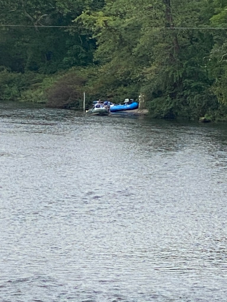
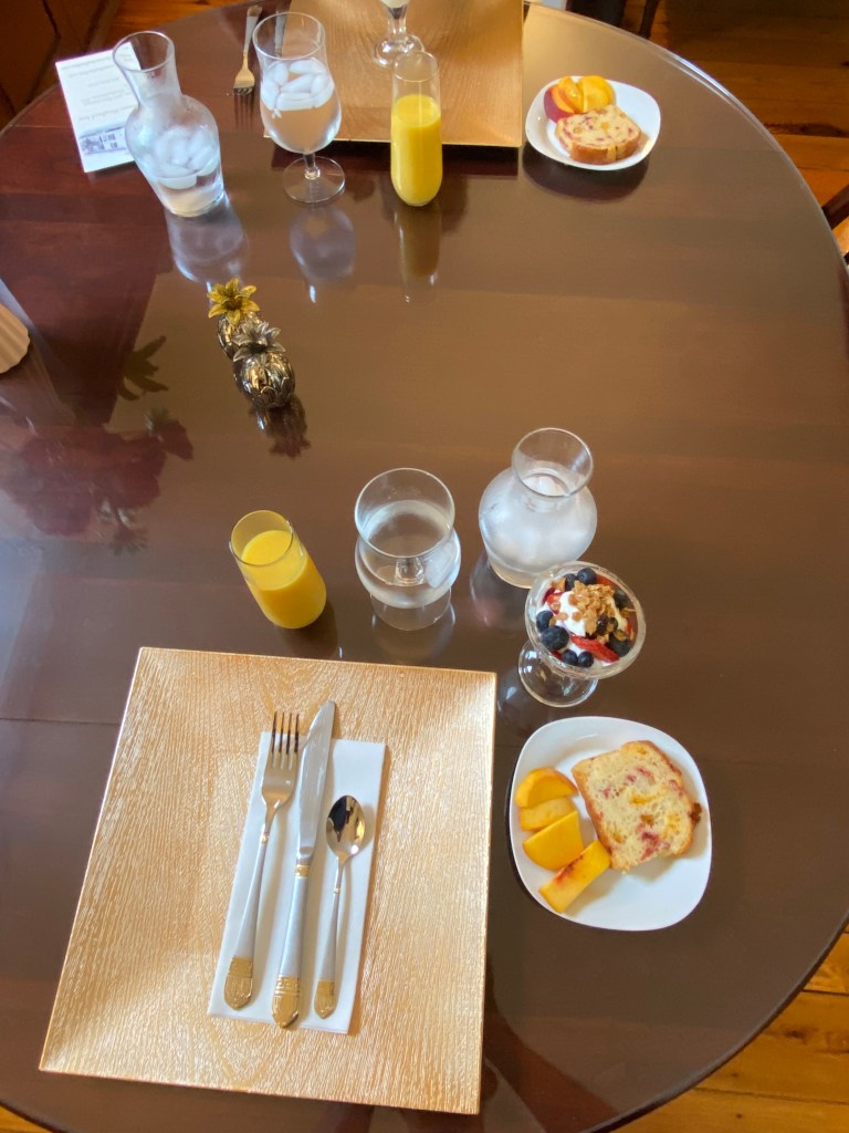
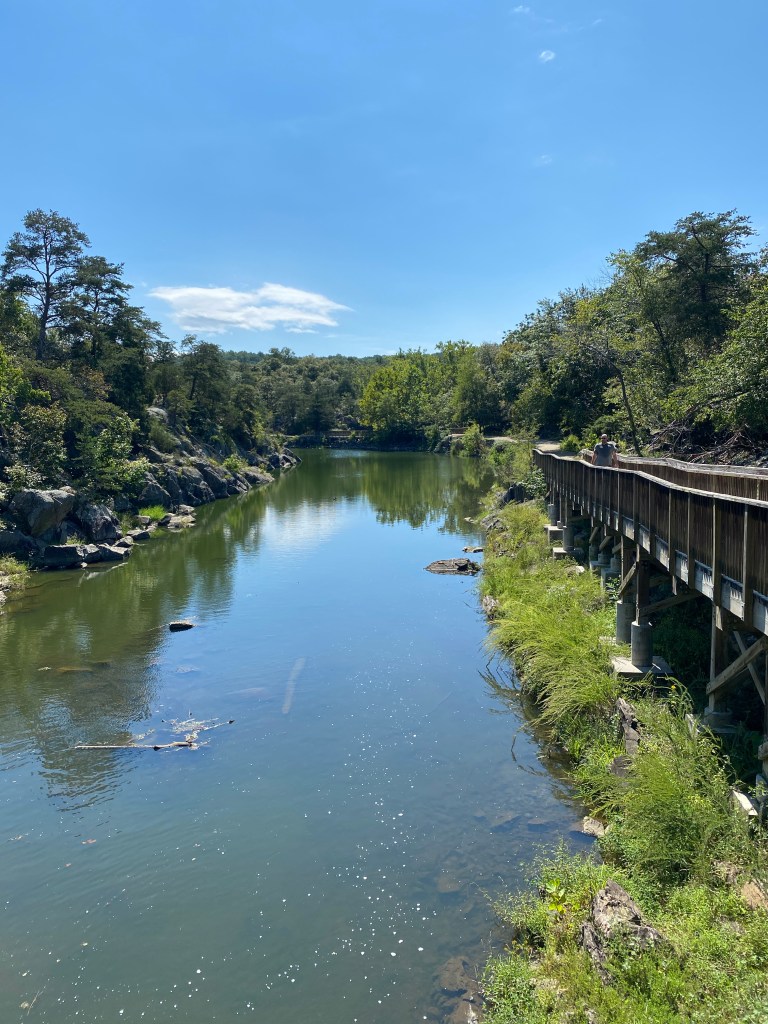
Day 5: Normal schedule for breakfast was 0900 but we were down early and our hosts accommodated. Once again, failed to take pictures of the various courses but the meal was quite good and included: yogurt with strawberries and blueberries, peach and cranberry bread with slices of fresh peaches and fritattas. Pedaled away from the Thomas Shepherd Inn, returned to Maryland and headed to DC at 0910. Encountered the best conditions on the C&O. It was smooth, free of puddles, and mostly shaded. The view of the Potomac was generally blocked by a thin wood line but had occasional unobstructed views. Far more people and campers. Surprised by the number of older (than me) cyclists; both men and women. More runners/joggers/dog walkers the as the distance to DC decreased. Only one downed tree on this stretch. The final 15 miles had the worse conditions. The previous day’s rain left lots of puddles plus the gravel had larger stones, creating a much bumpier ride. There were also large, smooth rocks protruding that required focused attention on the path ahead. Stopped for a few to watch a couple of kayakers paddling upstream against the rapids and through a few of the gates. Finished the last few miles dodging oblivious DC users wearing headphones listening to some form of entertainment at such an amplitude they were unable to hear (or intentionally ignored), “on your left.” To compound the volume, they traversed the entire trail like a drunk driver weaving down the road after a few too many libations. Eventually made it to the end, or beginning, of the C&O Canal. The terrain, puddles, and people over the last 15 miles reduced the days average speed from 18 to 17.5 mph. All in all, not a bad adventure. Weather mostly cooperated. Many folks commented that the C&O section from Cumberland to Hancock is the worst. No disagreement with that statement.
Summary: 73.91 miles Moving time: 4:13:35 Total time: 4:42:44 Elevation gain: 72 ft
Ride home
As the Missus had an unplanned work meeting today at noon, we had different destinations after departing Shepherdstown. As a result, had to ride home after finishing the GAP/C&O Canal Adventure. Used the Rock Creek Parkway to maneuver to the Mount Vernon Trail and rode it past the Reagan National Airport, through Alexandria, to its end at George Washington’s Estate. On the road with motorized vehicles for the longest stretch in 5 days for the final 8 miles or so. Finished the day with nearly 104 miles. The 30-mile ride home had almost 60% of the climbing experienced over the last 5 days and 343 miles (2153 ft). Washed the bike, for the third day in a row, upon making it home. Pizza from Domino’s for dinner!
Summary: 30.08 miles Moving time: 1:56:54 Total time: 2:20:37 Elevation gain: 1,246 ft


Totals:
5 days
3 states: Pennsylvania, Maryland, Virginia, and; District of Columbia
Miles: 382.3
Moving time: 23:41:58
Elevation gain: 3,029 ft
