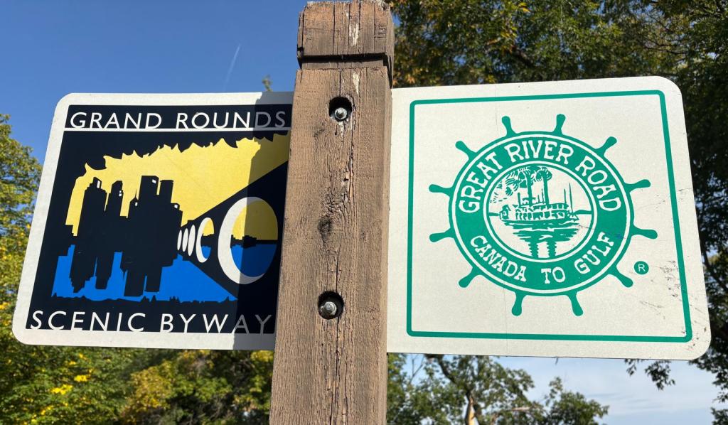
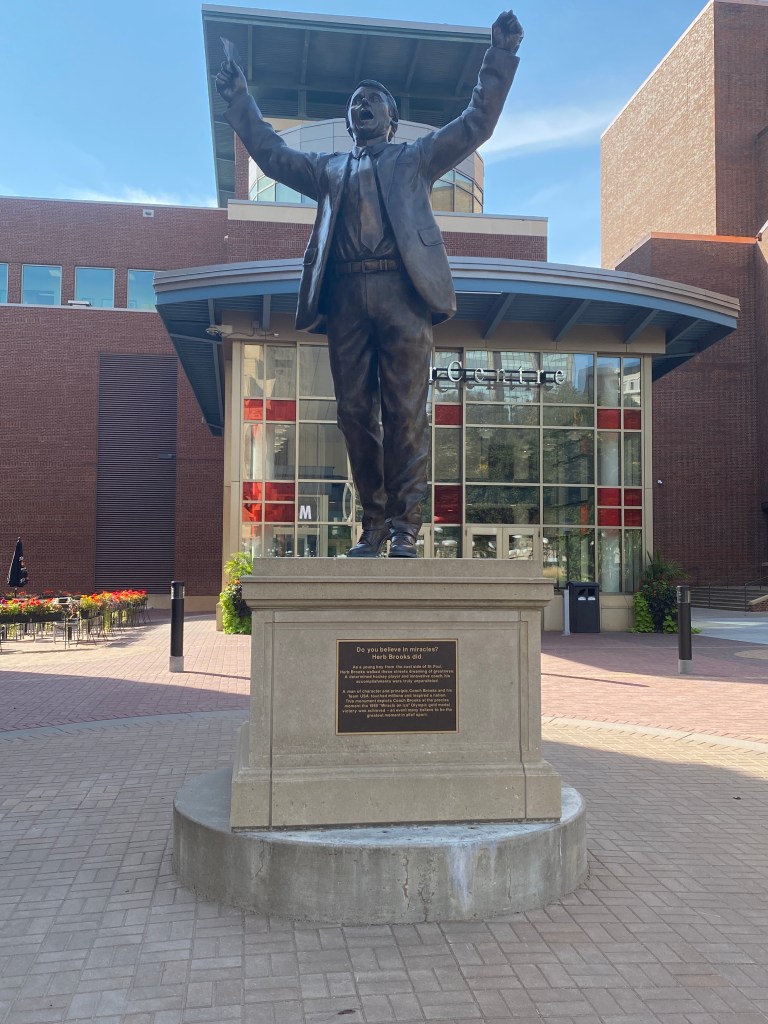
COLA MS River Ride
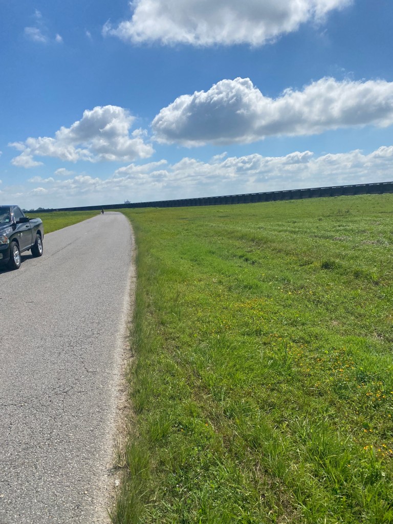
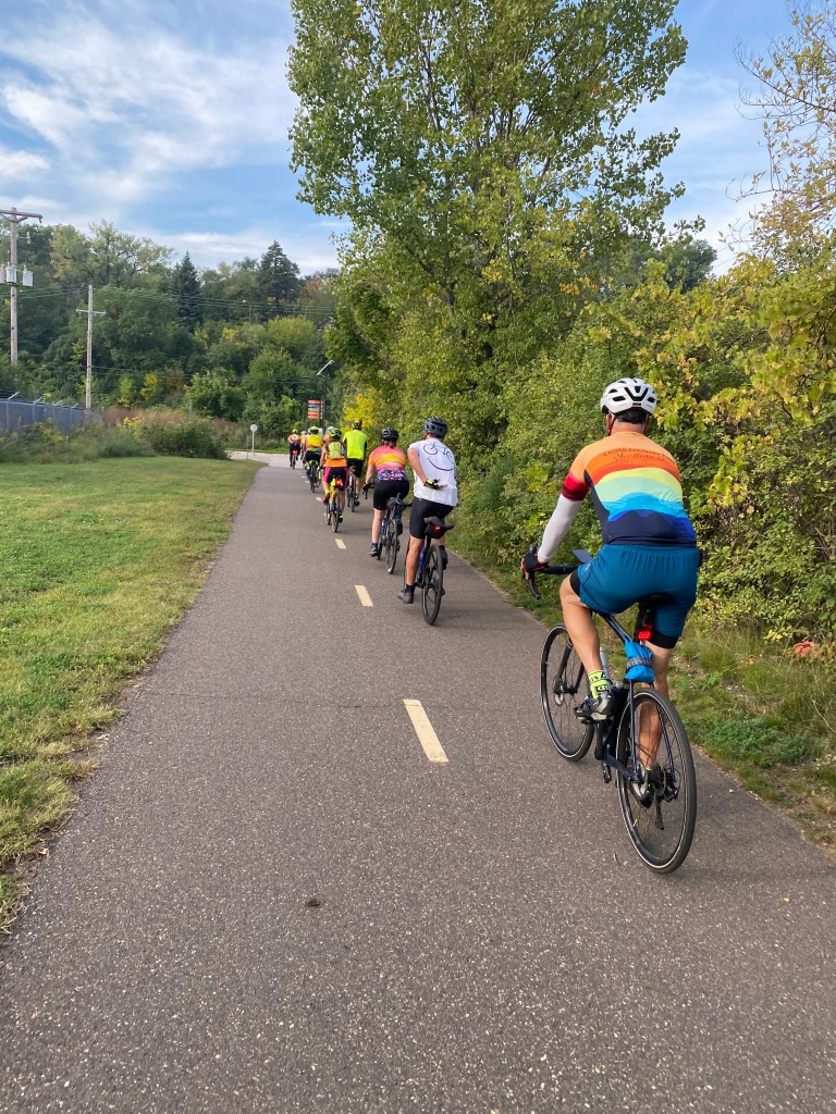
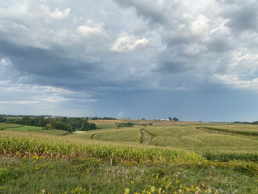
Prelude: Leading up to departing for Minnesota for the next and biggest cycling adventure to date in terms of duration and mileage (Cycle of Life Adventures (COLA) Epic Mississippi River Ride, rode every day with a mixture of solo and group rides, Garmin sprint, tempo, SST, VO2, easy recovery, and Z2/Z3 workouts. Experienced tire dysfunctions on consecutive days as well. An easy, standard loop was abbreviated due to a rear tire puncture that sealant didn’t plug and required a call to the Missus for SAG support. Tire seemed to be dry even though it was installed and filled with 2 ml of sealant the first week of August in Rhode Island. Replaced it with a new Schwalbe Pro One but needed the local Trek shop to seat the tire as my 2-gallon compressor wasn’t up to the task. Experienced a sidewall blowout on the first ride with the new tire. Inserted a tube which also blew during inflation – tube extended out the sidewall gap. Took way too long to unseat the tire but eventually succeeded and removed the flat tube. Riding partner donated another tube and a used gel wrapper to cover the sidewall. Used a stem extender to push the valve through the rim hole and pumped up the tire. It wouldn’t fully inflate and had a wobble the worsened as speed increased. Decided to cut the ride short but still had a great 50-mile ride on a near perfect weather day. Replaced both tires with 32mm Conti AS TR tires for the MS River ride. Accumulated nearly 1075 miles and 60,000’ of elevation in 30 minutes shy of 60 hours of saddle time over 27 days.
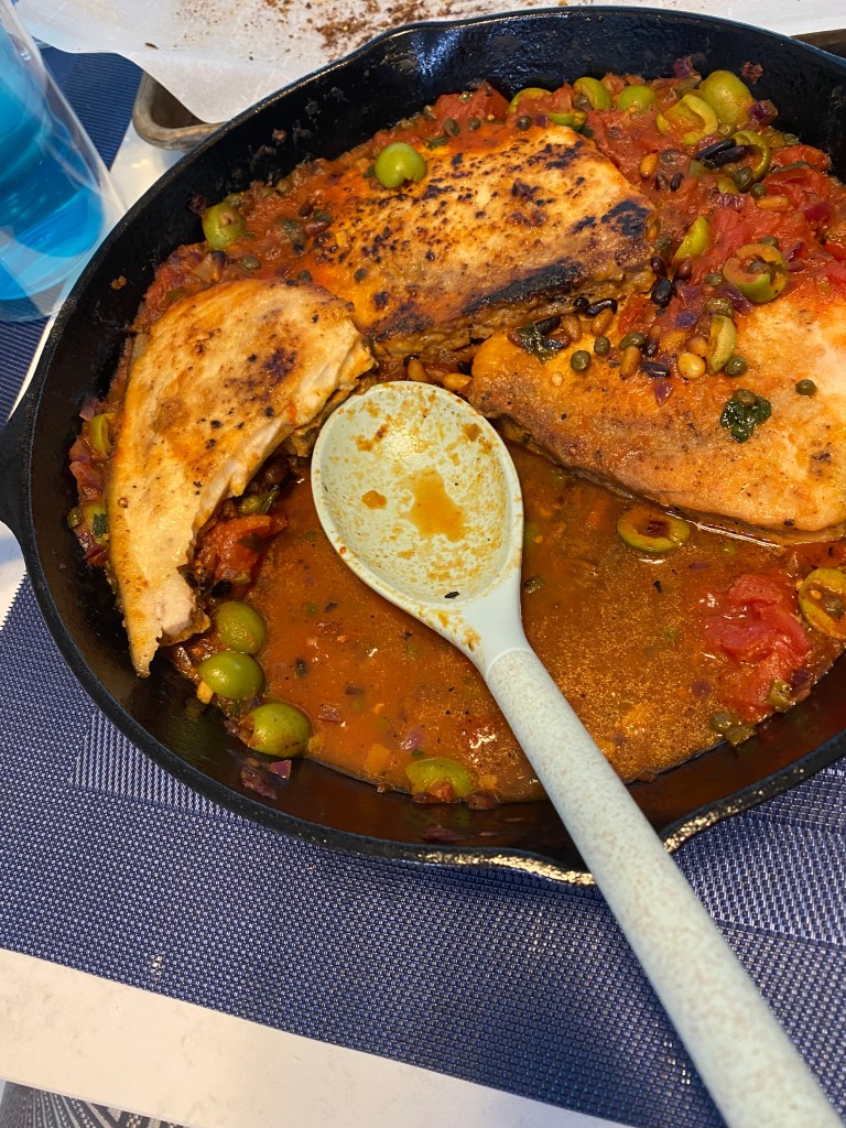
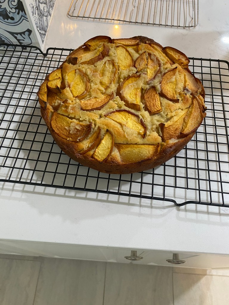
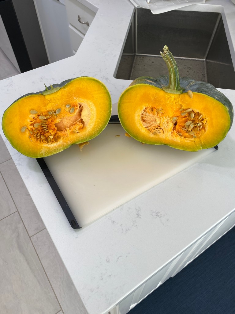
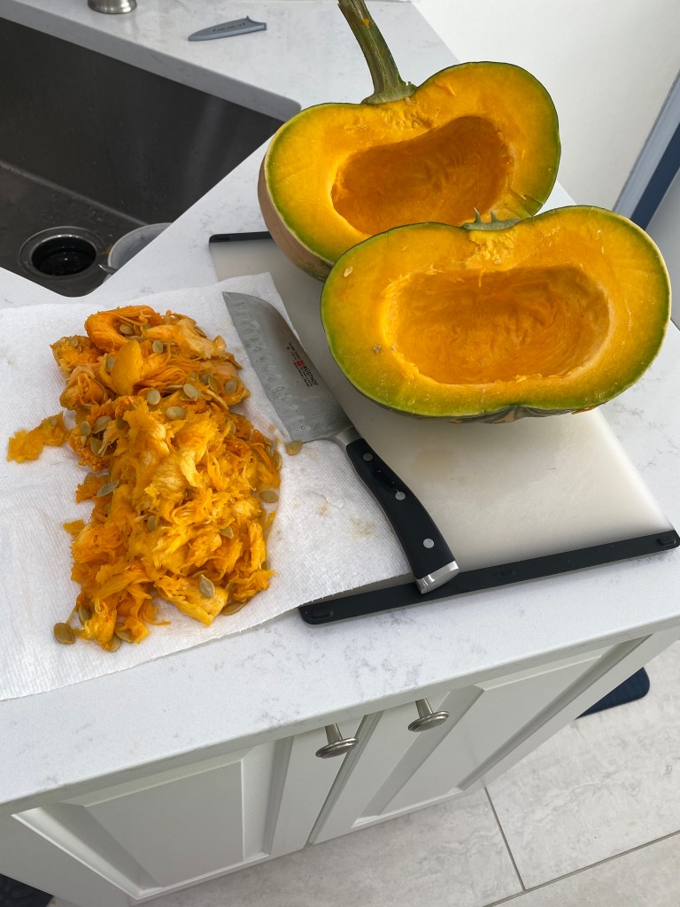
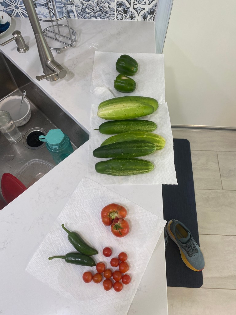
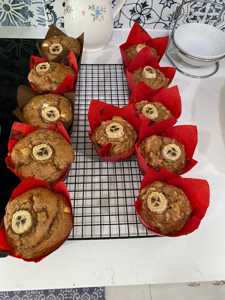
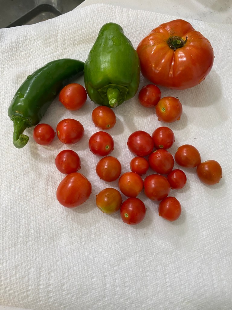
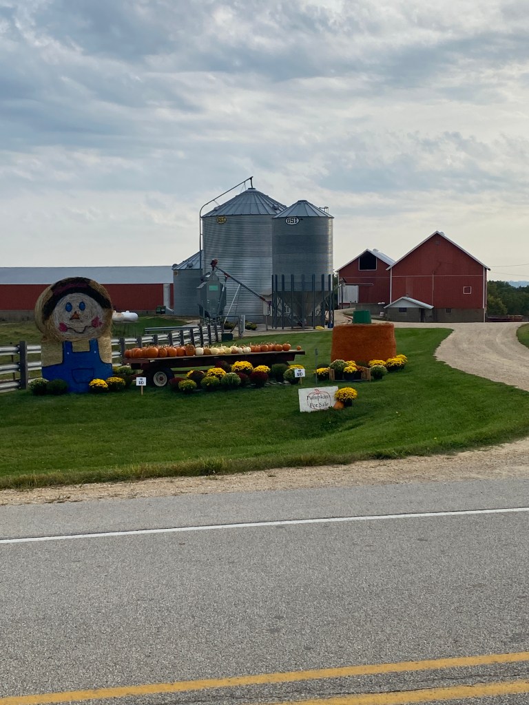
Continued to transition household menu to align more with a Mediterranean Diet (more fish, fruit, nuts, and vegetables and less red meat, sugary foods, and butter). New recipes included Sicilian braised swordfish with tomatoes and olives, peach ricotta cake, and raspberry crumble bars. Also added a couple of twists to a banana muffin recipe for two, healthier versions. Replaced all-purpose flour, sugar and butter with whole wheat flour, applesauce, yogurt, and avocado oil in one version and added granola in yet another variant. Little change in flavor and texture in the replaced ingredient muffins – still delicious but the granola version definitely tastes “healthy.” Cut and roasted a buttercup squash from the Missus’s garden that was harvested too soon. My mistake as the stem cracked when repositioning it on the ground. Color and texture were appropriate but no taste. Adding brown sugar, cinnamon, and butter just added those flavors without enhancing the squash. Also, unaware that squash will continue to ripen after picked for up to a couple of months. Who knew? There are a couple of other squash growing so we’ll have the opportunity to try again. Enjoying other bounty from the Missus’s garden (cucumbers (many became pickles), tomatoes (made marina sauce from scratch), green bell peppers, jalapenos, and various herbs (basil, oregano, dill, rosemary, and parsley).


As more studies are published showing negative outcomes between folks with 2 APOE4 genes and alcohol consumption, made the decision to stop drinking. Even though the increased risk of developing dementia is more associated with heavy drinkers, studies are showing increased risks even for moderate and light drinkers. Figured if changing other aspects of my life, why not try something that’s completely controllable. Certainly, can’t hurt.
Pulled the trigger on custom made Seven titanium endurance frame. Placed the order and had a lengthy conversation with the builder about ride style, goals, and reasons for the bike. Looking forward to the process and obviously the final product. Ended up selling the Cervelo P5 at nearly 1/3 the cost of the purchase price in 2018. Disappointing but solid offers were few and far between even though it generated over 2000 clicks on FB Marketplace in a couple of weeks.
Getaway Day:
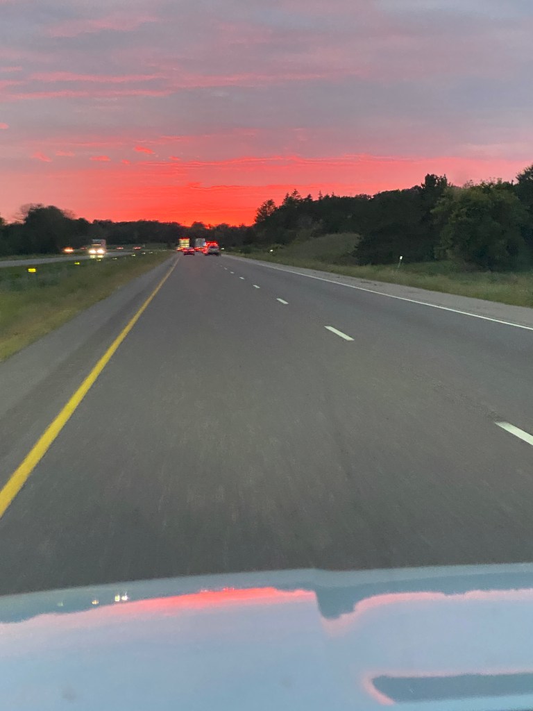
Started the day with a slightly shorter home loop on TEVO. Gathered and packed for a 35-day cycling trip including the two RUSA Perms preceding the MS River Tour. The Missus dropped me off at the rental car company to pick up the vehicle for the drive to MN. Became a fan of the Mitsubishi Outlander cargo space, handling, fuel economy. Reinforced intent to purchase a Kia Telluride when Edgar drives its last mile. A 3-row SUV isn’t necessary but additional cargo space for hauling a bike and bags or luggage is very appealing. Departed close to planned time but had to return home to retrieve the EZ Pass. Lost 20 minutes from the start and construction on the Beltway ate more time. No other traffic delays outside of the DC area. Don’t understand why the toll roads in IN still have gates that lower and raise between each vehicle even in the EZ Pass Only Lane. Unnecessarily slows traffic. Come on, IN. Improve your DOT IT department. Rolled into the Hammond, IN Hampton Inn around 10:30 pm. A long day behind the wheel.
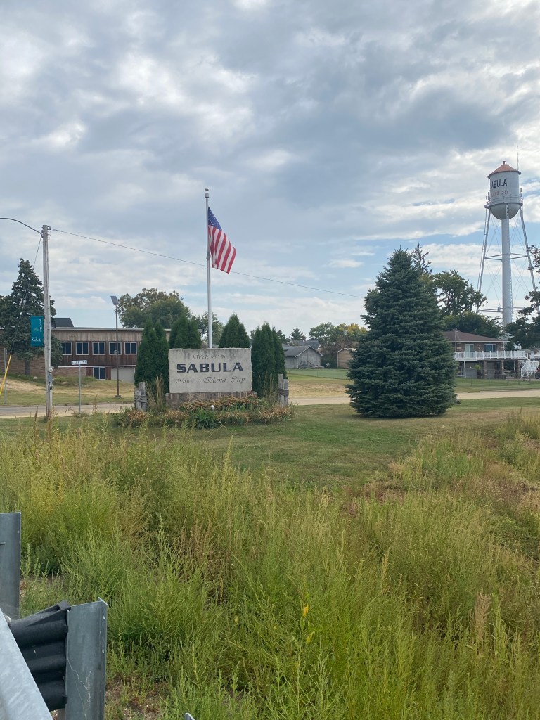
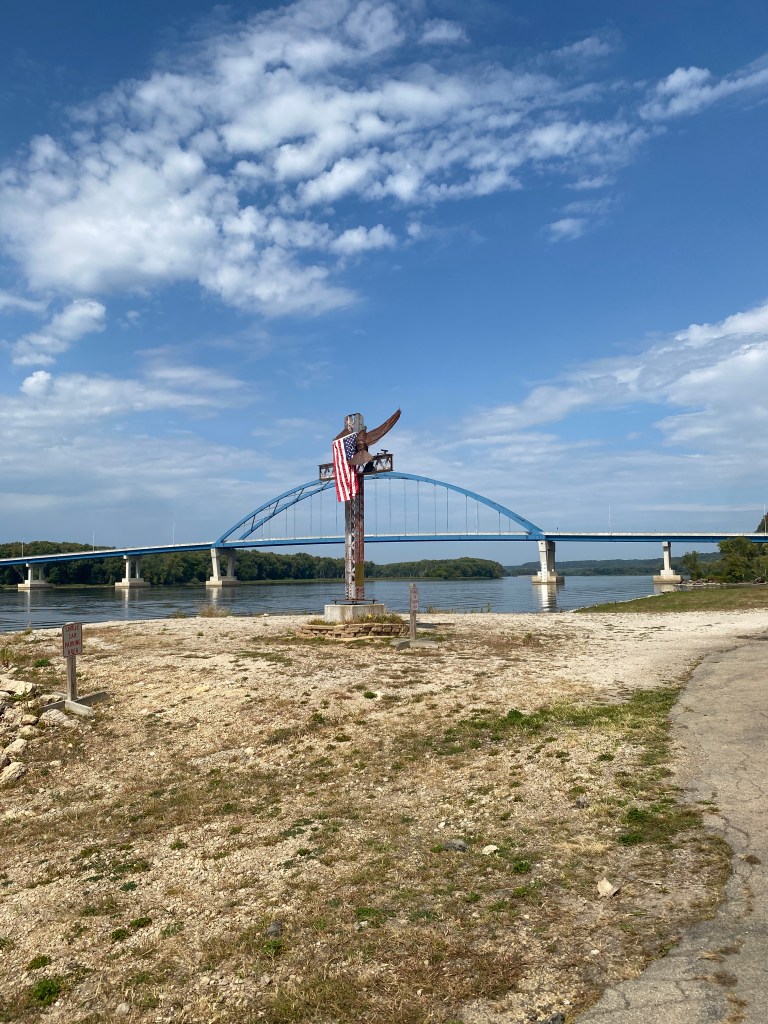
MS River Ride D + 3: Blinky #5512 (IN, IL)
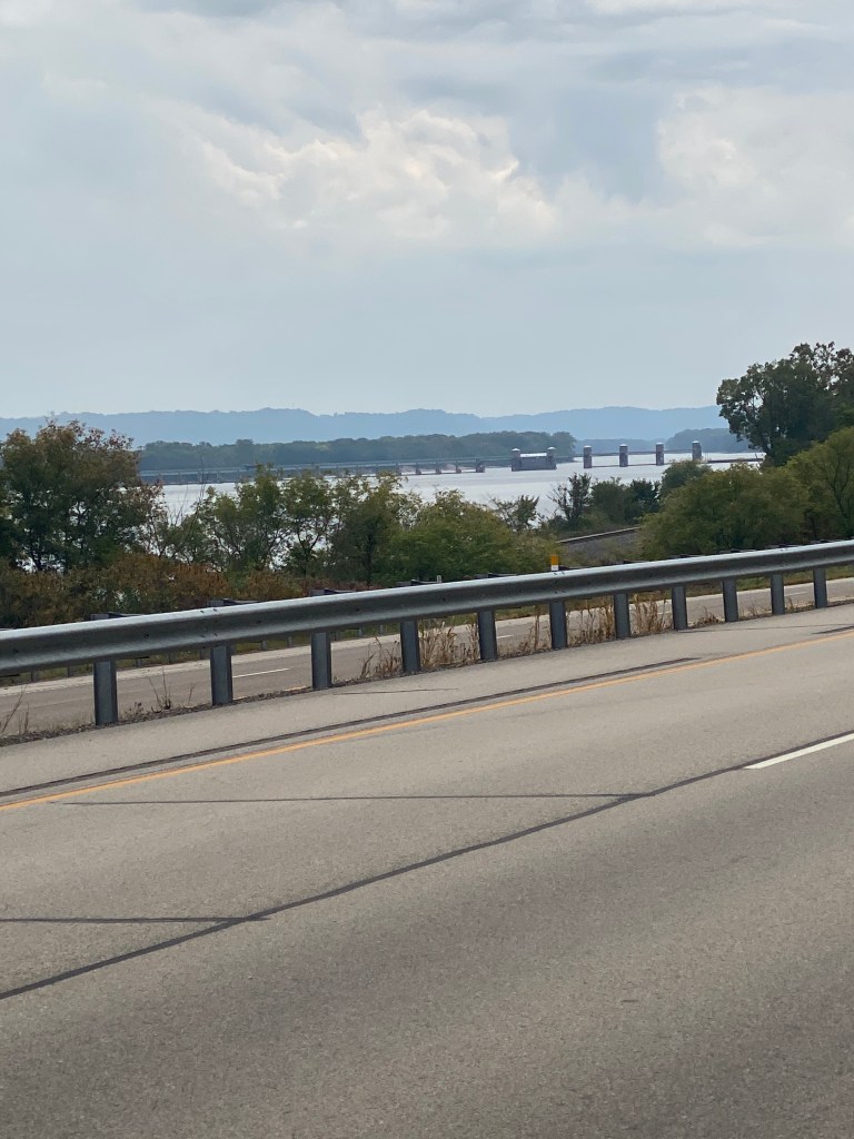
Awake a little before 6 am and headed straight to the fitness center for pull-ups, dumbbell squats and lunges. Drove 40 minutes to Strack & Van Til (never heard of it before) food market in Cedar Lake to start riding around 0900. Checked the weather the night before and knew there would be a strong westerly wind. Forecast was accurate on that score. Wind wasn’t howling but it was steady from the moment the bike was unloaded from the vehicle. Water views early on were replaced by farms – corn primarily. Mostly quiet, rural roads except for a detour which added the two busiest roads on the route. The second road was a primary truck route with a wide shoulder. Thankfully headed eastbound on the road and able to enjoy several miles of a stiff tail wind – that was fun. No so much with a headwind. Overall, crosswinds dominated the route followed by headwind and then tailwind. Only one Garmin categorized .34-mile climb near the end. There wasn’t any signage indicating crossing state lines from either direction. Have no idea of the meaning behind the route name. The description on the RUSA webpage provided no insight. Accidentally left the dental pod charger in the bathroom. Called the hotel directly later that day and was informed my message would be left with Head of House Cleaning who would call back. Not a word!
RWGPS data: 63.3 miles, 1420’ elevation
Actual ride: 63.27 miles, 2231’ elevation, moving time 3:18, total time 3:24


Another long drive after the ride but only 6.5 hours this time. Congestion around Chicago but nothing like DC area and no long delays like NE Rando Adventure. Signs for Tomah and Ft McCoy brought back memories from 30 years ago when assigned to the U.S. Army Physical Fitness School. Haven’t been to this part of the country since then. Passed signs for the Cranberry Discovery Center and wondered what that was about. Didn’t stop – had a schedule to maintain. Achy ischial tuberosities following consecutive days of long drives. Very glad the major driving portion was over.
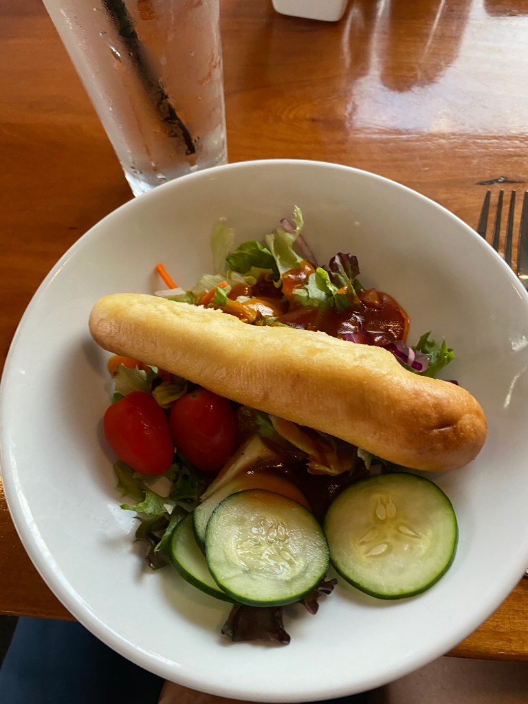
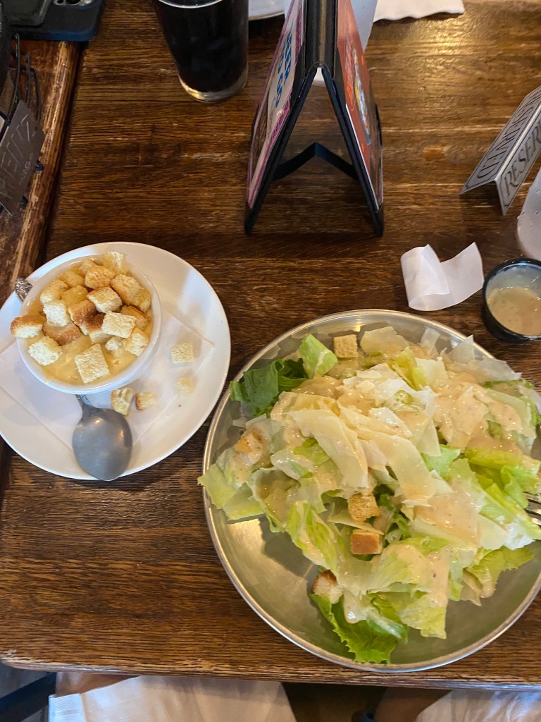
Ate dinner at The Tavern Grill: side salad, garlic toast and baked ravioli with chicken. All good but timing was not ideal. Server asked if salad first, yes, but all three items were delivered at same time. Why ask?

MS River Ride D + 2: Escape to Wisconsin # 2267 (MN, WI)
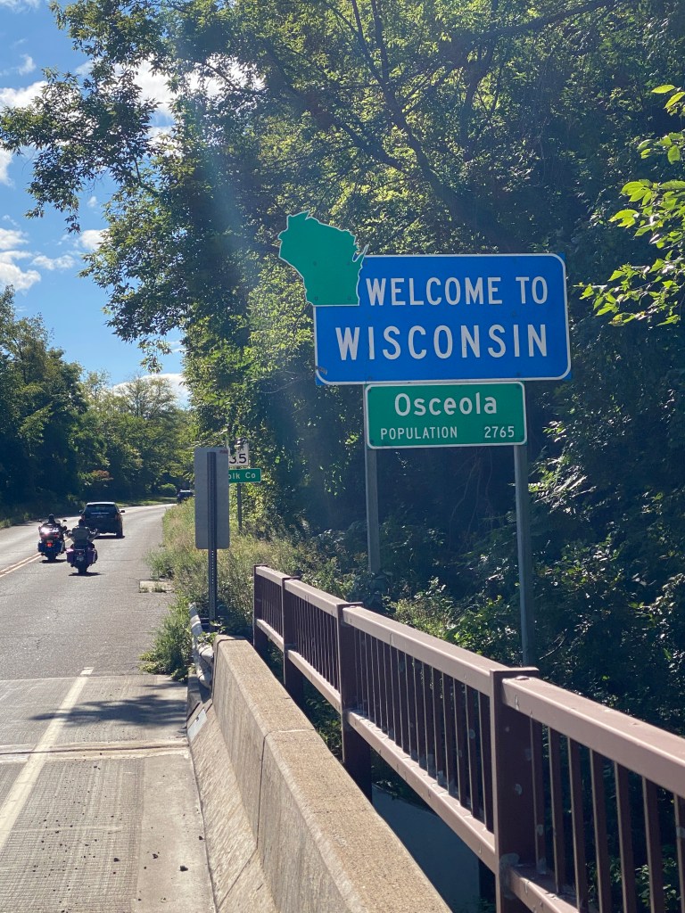
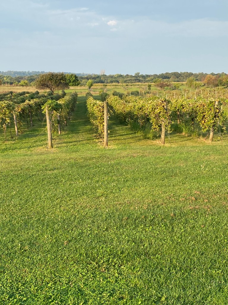
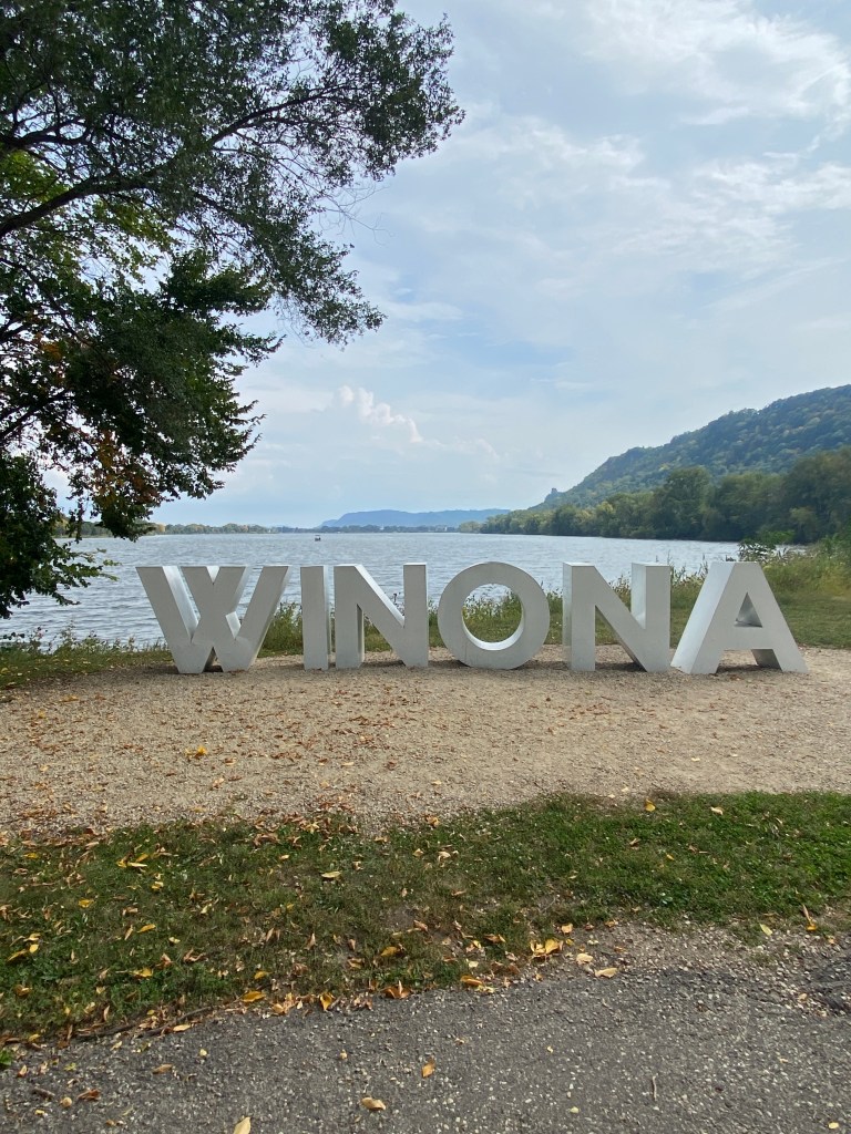
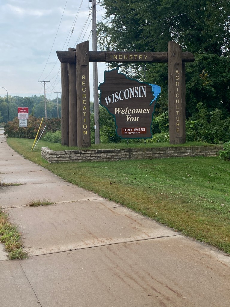
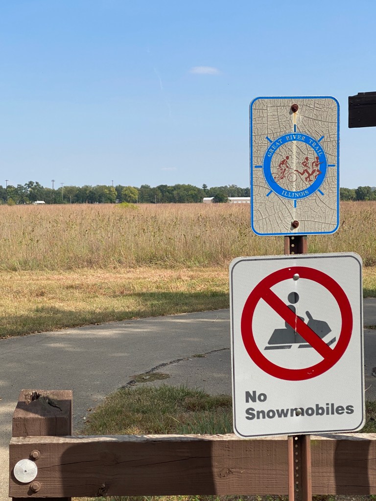
Checked out the fitness center at the Hampton Inn – Woodbury. Rather sad and claustrophobic with aerobic equipment only. Digital Key didn’t work and Wi-Fi was down the entire two-day stay. No one on staff had any idea of the cause or time to resolve but the manager and owner were both aware of the problem and in communication with the provider. Morning pace was more relaxed as temps were quite cool at 45°. Drove 20 minutes to Stillwell HS to start the final tune-up ride before the MS River Adventure. Lots of water views throughout the ride. License plate slogan doesn’t lie but it does undercount by over 1500 lakes. More urban on MN side. Intersected a cycling leg of a local tri that was going the opposite direction. Saw a few other cyclists a few miles later but then no others for the remainder. Had to detour around major bridge construction project. Initially hopeful that the detour wouldn’t impact the route as other signs stated businesses on the road were open during construction. Became obvious that was not the case upon reaching the construction site. Don’t know the size of the previous bridge but squeaking through the site wasn’t an option. Adding to the frustration was seeing a crossroad a couple hundred meters beyond the zone. Asked one of the crew if there was a quick way around. He said, “Not really” but provided a detour which added 4 miles. WI was a much more rural and isolated route. Numerous trails marked for snowmobiles. Overall, a scenic route with rollers, lots of green, woods, and farms. Didn’t stop at Taco Daze in Scandia, MN (made it through before the streets were closed) or the local town event in Osceola, WI – just across the St Croix River. A total of eight Garmin categorized climbs ranging between .34 – .75 mile with moderate grades. Garmin recorded more elevation than the RWPGS file indicated. Quite fortunate that the route ran predominantly North and South as westerly winds were still quite stiff. The temperature dropped a bit accompanied by a few sprinkles when loading up after the ride. New states added to both lists: States Ridden in – MN; States with Randonneuring routes – MN, WI.


Dinner at Southern Social – advertised as a soul food restaurant. Ordered cornbread appetizer and New Orleans shrimp bowl. Both were good but server had the same timing problem as the restaurant in IN.


RWGPS data: 74.7 miles, 3208’ elevation
Actual ride: 78.83 miles, 4997’ elevation, moving time 4:27, total time 4:39
Walked 2 1/4 mile walk after dinner.
MS River Day + 1
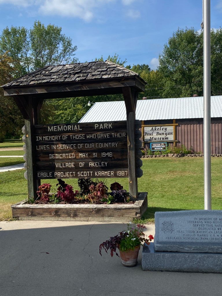
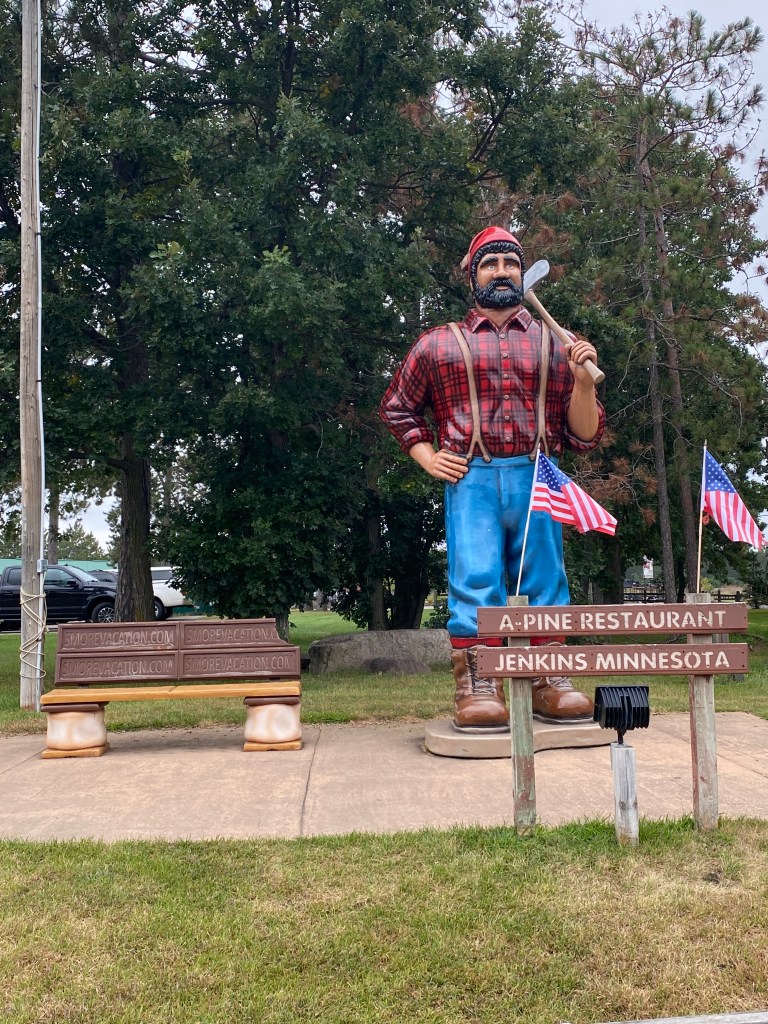
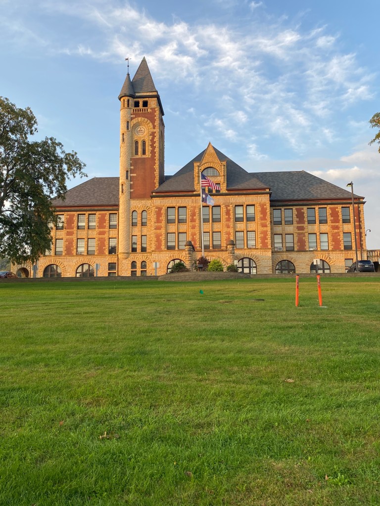
Communication with tour lead, Boss Man, altered plans for Cycle of Life Adventures (COLA) Epic Mississippi River Ride Day 0. Return and drop the rental off at 1000 (vs 10:30) and picked up by one of the guides, Captain. Loaded the bike and bags into his SUV and drove to the pre-tour hotel to meet the rest of group, a total of 12 others (Newps, Gambler, Alaska, Doc, Drummer, Harmonica, Picky) total including 3 guides (one to be met later, Law Guy’d). Rode with Captain, Pilot, and Stoker. The rest of the crew and Boss Man rode in the van. Stopped in Little Falls, a town we would ride through in a few days, for lunch at A.T. The Black and White (turkey wild rice wrap and sweet potato fries) and walk past some of the displays and tents set up for the first day of the two-day annual Art & Craft Fair. Driving around all of the closed streets revealed the Fair was a major event for the small town of less than 10,000 residents. Stopped at our first Paul Bunyan statue for a photo op and restroom break. Our hotel was on the shores of Lake Bemidji and on the Paul Bunyan Trail. Had time for a 2-mile walk along the trail before dinner at Club 209. Selected the tacos (walleye, brisket, shrimp) but no pictures. Decent meal, no. complaints.


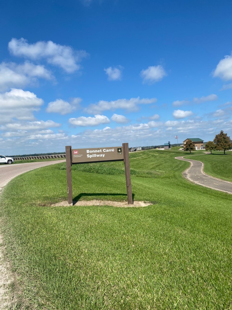
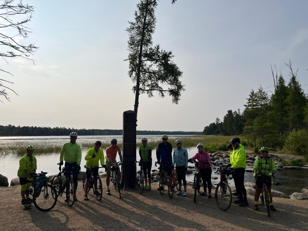
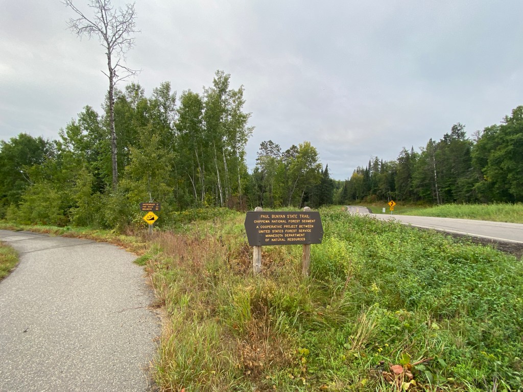
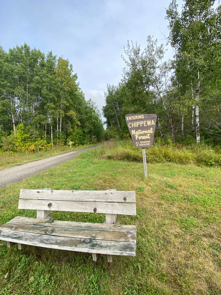
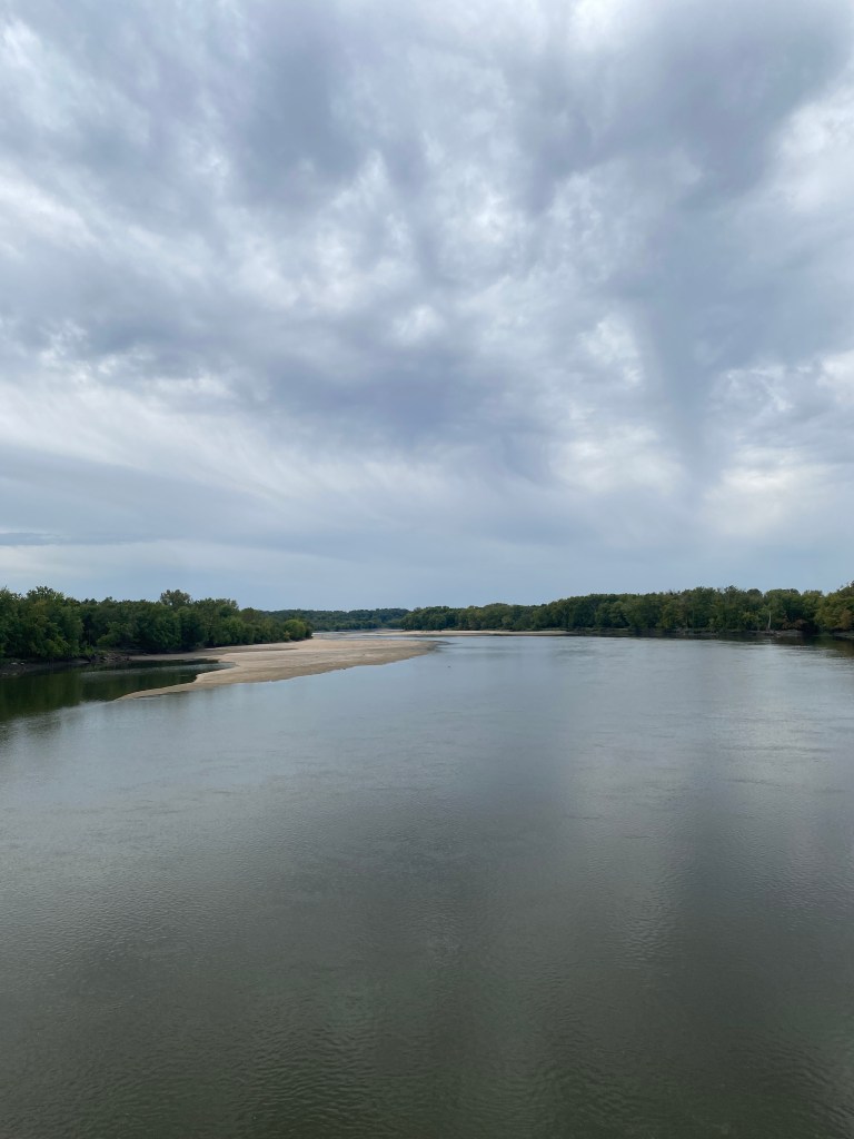
MS River Day 1: Itasca State Park – Walker, MN
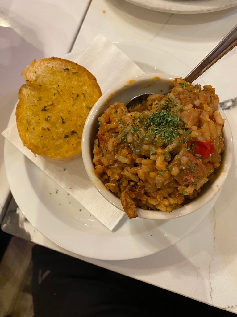
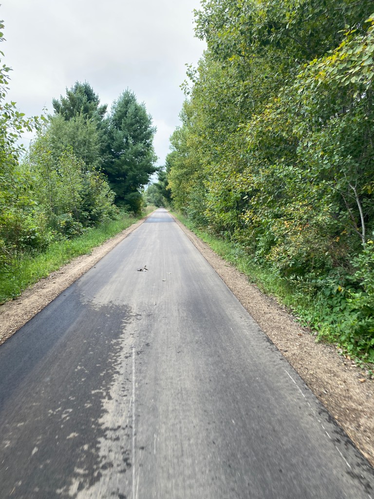
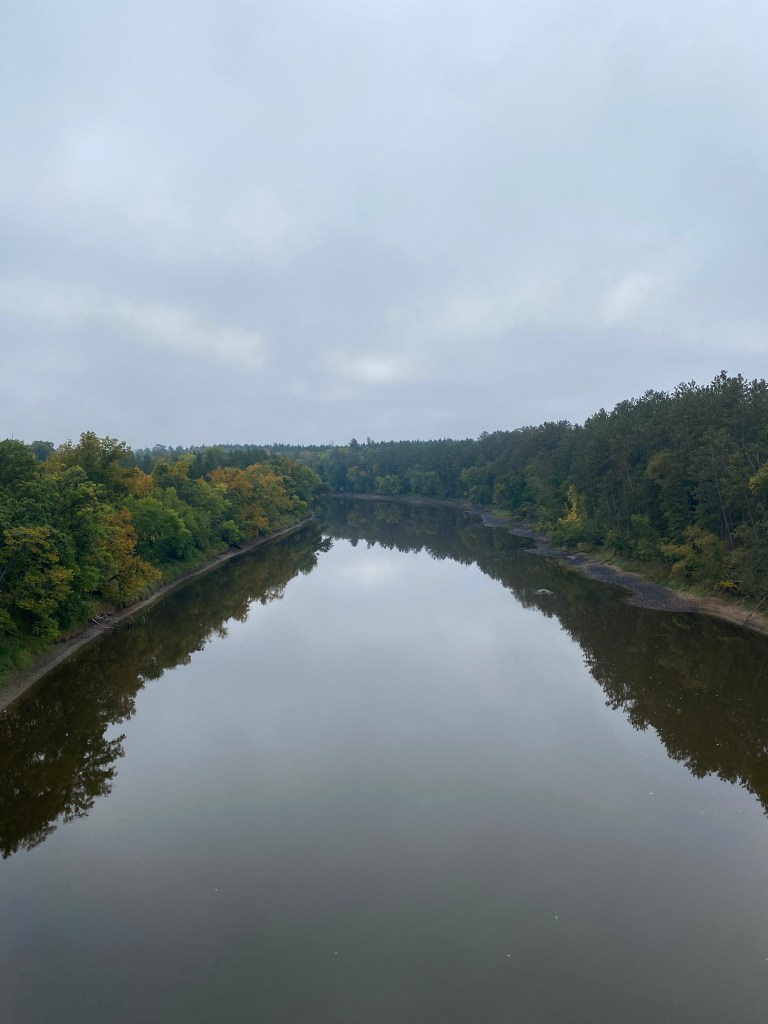
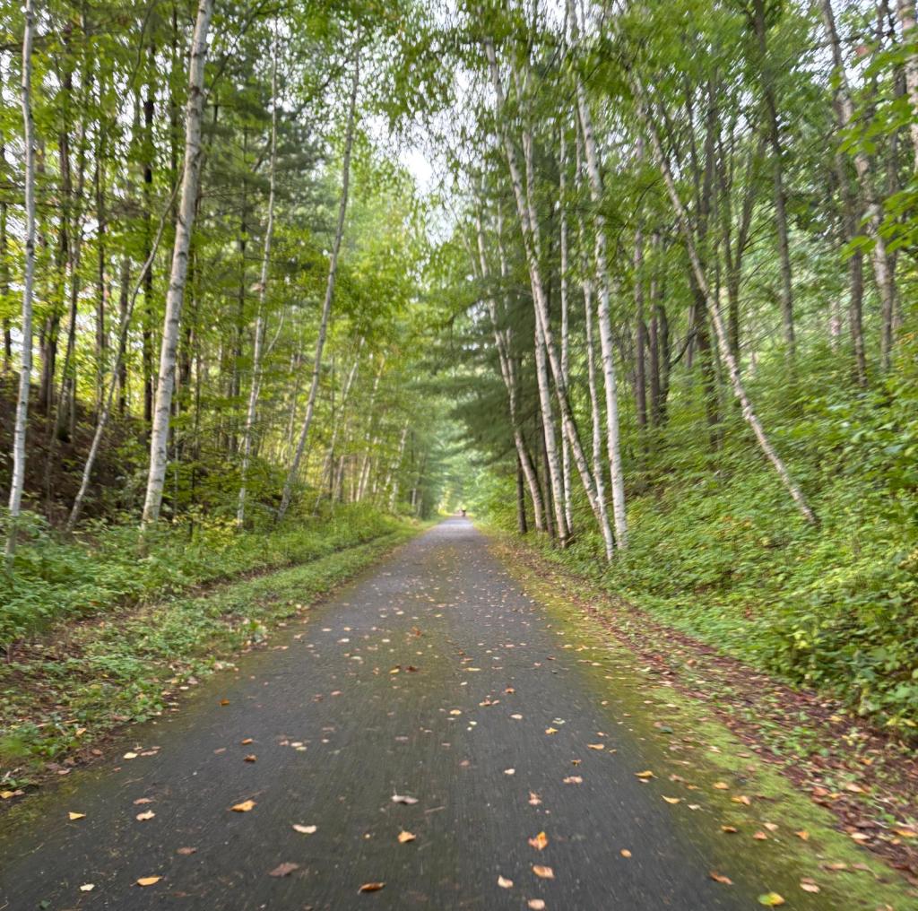
Up at 0600 for breakfast. Dressed, re-packed, dropped off bags and ready to depart at 0730. Only missed planned departure time by 5 minutes after everyone loaded into the van, headed to Itasca State Park – headwaters of the MS. Pretty good for the first day with a new group. Estimated drive time of 45 minutes was on target. Planned roll time of 30 minutes after arrival was a tad optimistic as bikes needed to be off-loaded, tires pumped, water bottles filled, restroom break, and an obligatory group photo at the headwaters. Visited the headwaters prior to the group for solo pictures and dipping the rear tire in the headwaters. Rather unimpressive site. Hard to fathom, Lake Itasca, this small glacial lake is the source for the second longest river in the US (Missouri being the longest) flowing 2,328 miles, touching 10 states, into the Gulf of Mexico. Crossed over the Mississippi the first of four times on the day’s route before leaving the Park. The creek behind our house in VA is bigger. Headed Northeast for back towards Bemidji, our starting point this morning, after leaving the Park on roads comprising the Great River Road. Yes, the MS initially flows north before turning south in Bemidji. There was a 7-mile stretch of freshly paved asphalt that was super smooth to ride on – if only it was longer! Reversed direction after 30 miles to circle back to the other riders so everyone would arrive at the lunch spot within 5-10 minutes of each other. Covered an additional 10 miles before stopping for lunch a couple hundred meters from last night’s hotel. Photo op for the second Paul Bunyan statue and Babe. Lunch was make-it-yourself sandwiches with deli meat and sliced cheese on whole grain bread with fruit, trail mix, Oreos and other snacks. Boss Man’s rule – you leave a meal hungry; it’s your own fault. The next 32 miles were on trails, mostly the Paul Bunyan Trail. Surface was generally ok but there were a few rough spots very bumpy sealed crack sections. There was one downed tree across the trail but enough space to maneuver around the tree without dismounting the bike. Considered attempting to move the tree but decided the risk wasn’t worth the reward. Cyclists and walkers could go around the tree and didn’t want that to be a potential reason for concluding the Epic Adventure due to an injury. Had a cross/tail wind from the Park to Bemidji but then a headwind for the trail portion. Wind wasn’t terrible as most of the trail was tree-lined and blocked most of it. A flock of wild turkeys were the only interesting wildlife seen besides birds and squirrels. Arrived at our hotel, Chase on the Lake before the van arrived and completed another 10-mile out and back extension on the Shingobee Connection Trail (SCT). Only 2 Garmin categorized .75-mile climbs on the published route but 4 climbs on the SCT. Rode over 40 miles on trails of the 85 covered. Newps experienced a mechanical: a clunking noise developed after lunch that worsened as his ride continued. Boss Man loaded the bike in the van and drove back to a local bike shop in Laporte who confirmed it was a bottom bracket issue. First time COLA ever experienced that malady on a fleet bike. Issue resolved and returned in good working order. Ate dinner on the lower level of the hotel with a great view of Leech Lake. Ordered a side salad and Leetch Lake Jambalaya. No photo but a good meal.
RWGPS data: 63.27 miles, 1439’ elevation
Actual ride: 85.20 miles, 2720’ elevation, moving time 4:48, total time 6:33


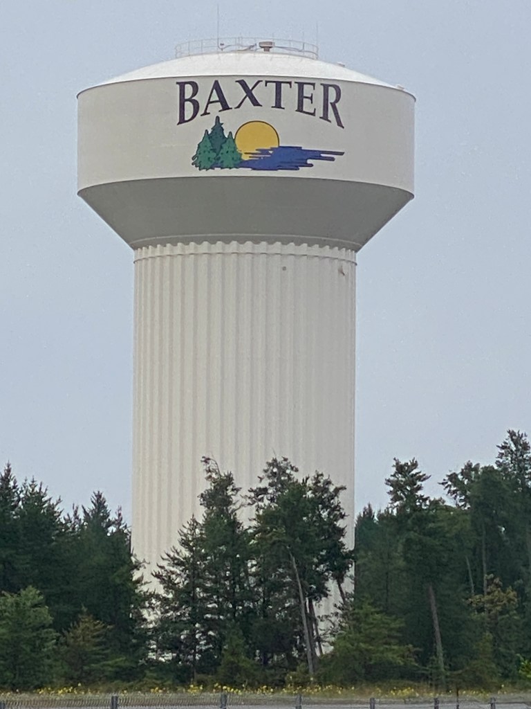
MS River Day 2: Walker – Baxter, MN
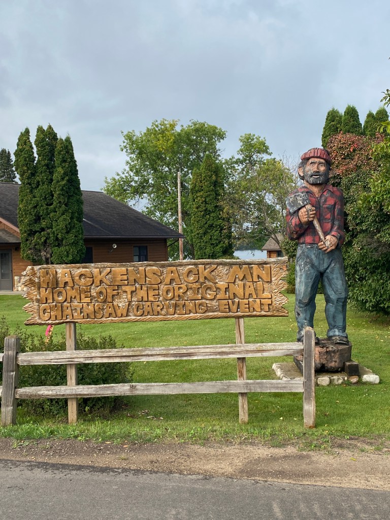
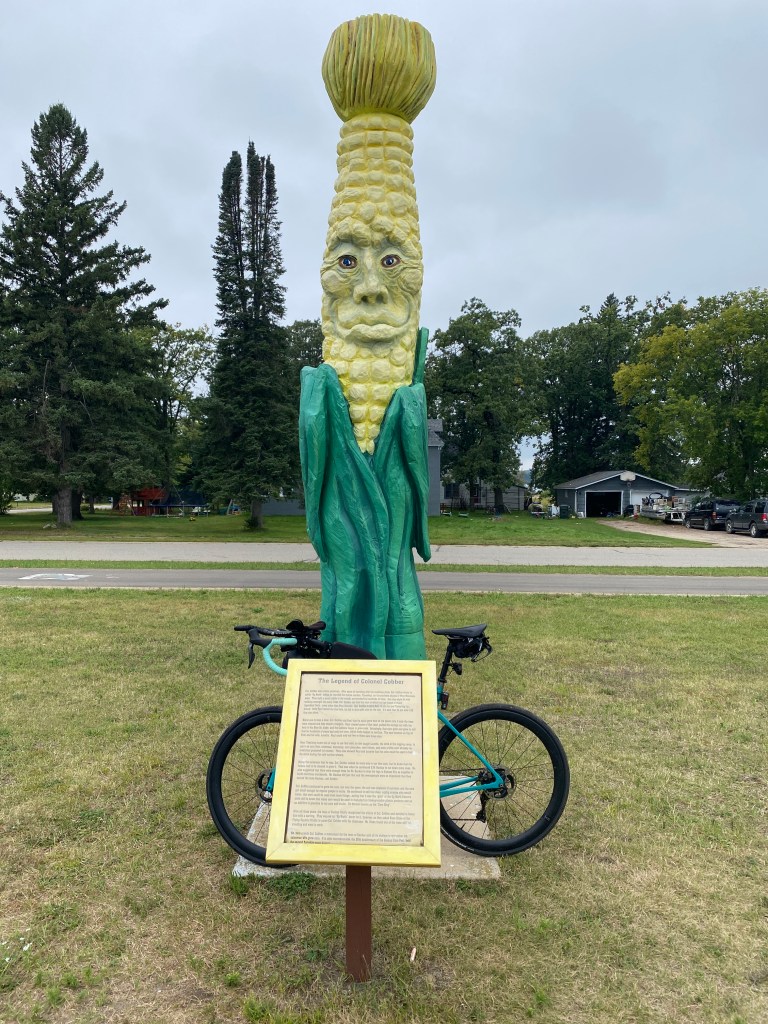
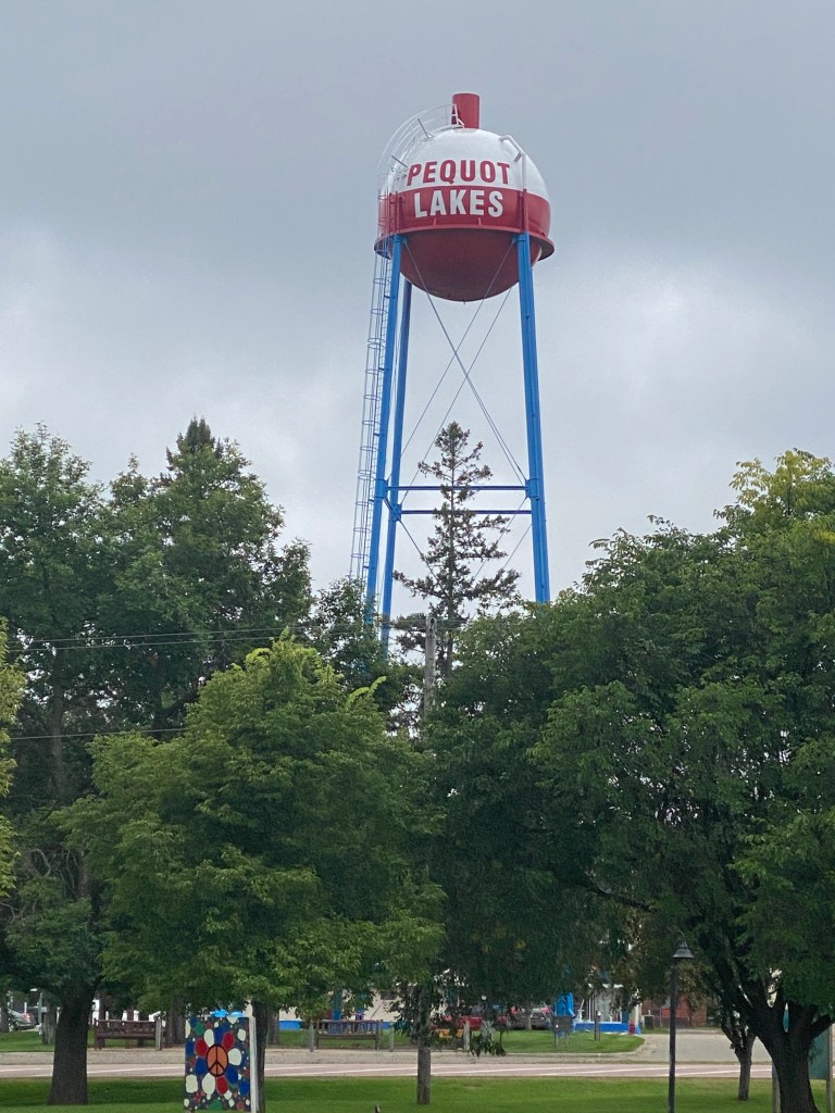
Started a new morning schedule: awake at 0600, a short room workout of body weight (squats, lunges, and push-ups) and core exercises, breakfast, repack bags, deliver to the van by 0800 for loading and ready to ride by 0815. Breakfast this morning was a short walk to Walker Bay Coffee Co for an egg, mushroom, and spinach breakfast sandwich on toasted whole grain bread and a cup of hot chocolate. Spoke with several other cyclists who came in to order breakfast and/or coffee who were riding around central MN on the trails. Another cool start, arm warmers required, but no complaints about the weather. Rolled away on time for a mostly Paul Bunyan Trail route to Baxter. Came across a downed tree again, skinnier but longer this time that extended across the trail from tree line to tree line. Not a major obstacle though to lift the front tire a few inches off the ground to clear it then slowly roll the back tire over the tree. Trail conditions were mostly ok but there was a 15-mile stretch of pristine pavement. That was great riding! Turned around before lunch and circled back until passing all but 2 riders – Newps continued his mechanical streak and flatted. Think Alaska experienced some tire pressure challenges as well. He replaced the tube while Captain stayed with him and they both rolled into the lunch stop in Pequot Lakes together. The trail passed through multiple small towns, reminiscent of the GAP in Pennsylvania with numerous tourist centric sites to include Lucette Diana Kensack, Colonel Cobber, Paul Bunyan, Pequot bobber (water tower), and Babe. Rode with Alaska for good portion of final miles and had a great chat about cycling, goals, training logs, and the importance of positive self-talk. For such an extensive and awesome trail network, didn’t see too many others taking advantage of the state amenity. Saw 7 walkers, two of which were serious photographers with dedicated digital cameras and multiple lenses, and 5 bikers for the first 65 miles. The majority of those users were within a couple of miles of Hackensack. No MS River crossings today. Drove across 6-lane divided highway for dinner at the Boulder Tap House. Ordered the fish tacos (blackened cod), rice and leafy lite bite (salad and breadstick). Not bad.


RWGPS data: 71.7 miles, 1772’ elevation
Actual ride: 88.12 miles, 1804’ elevation, 5:04 moving time, 6:16 total time
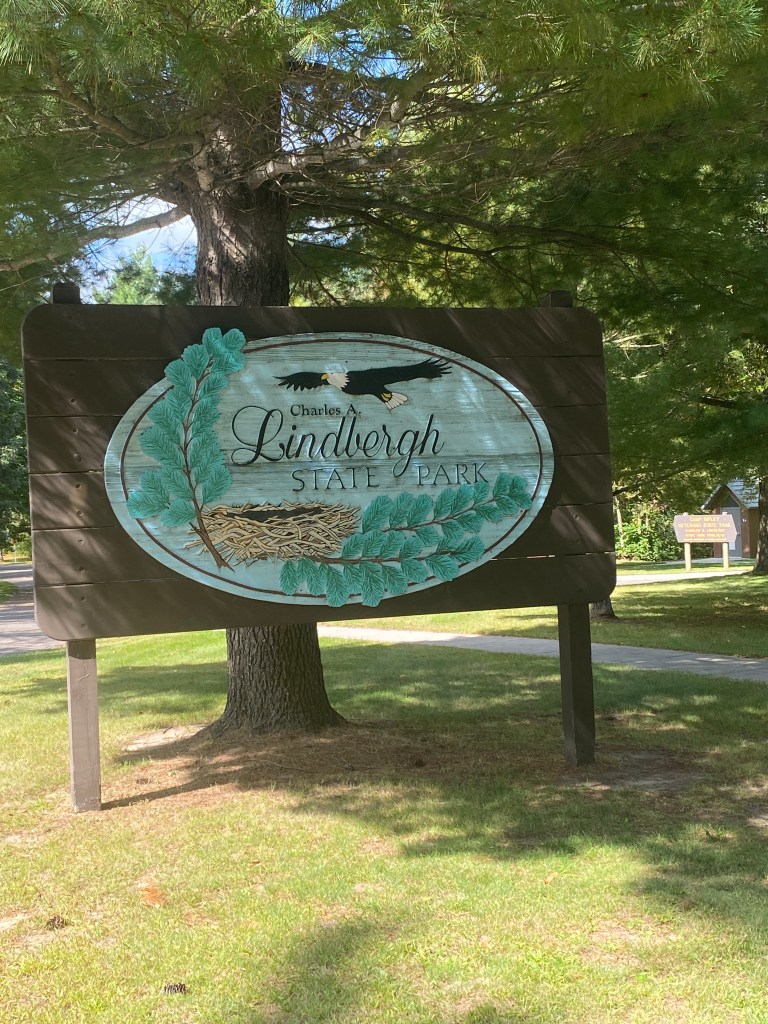
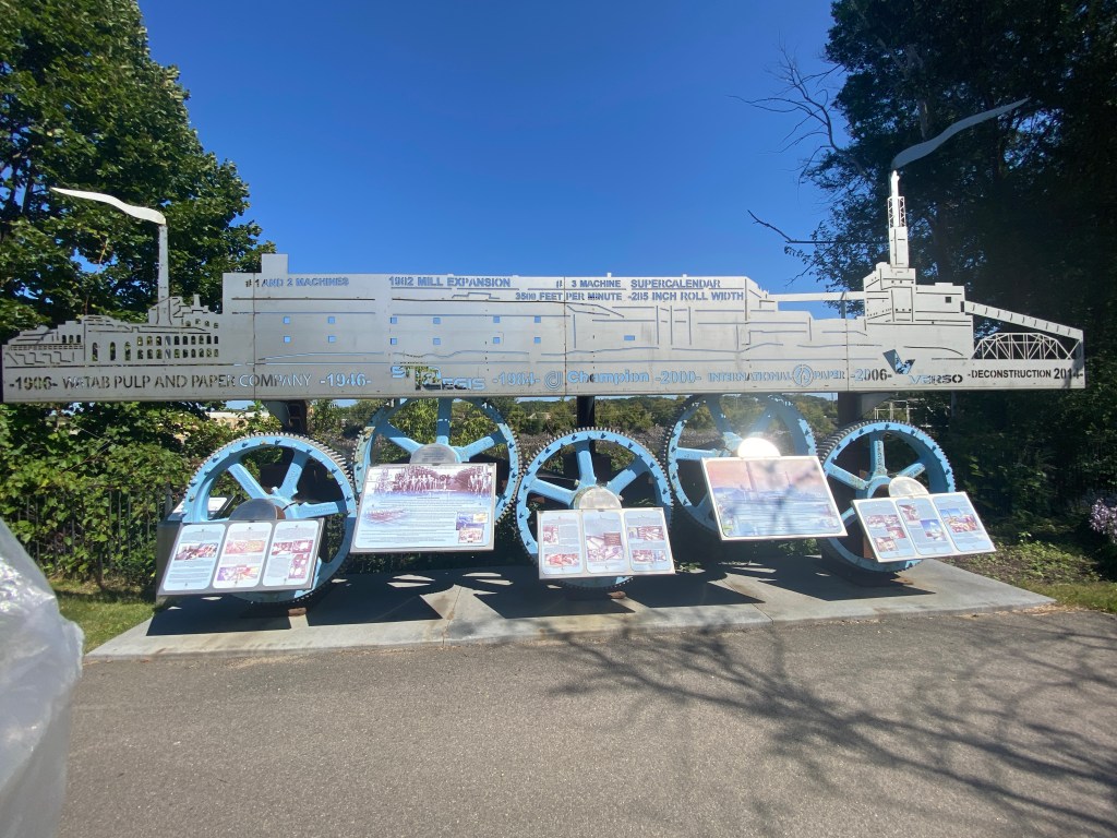
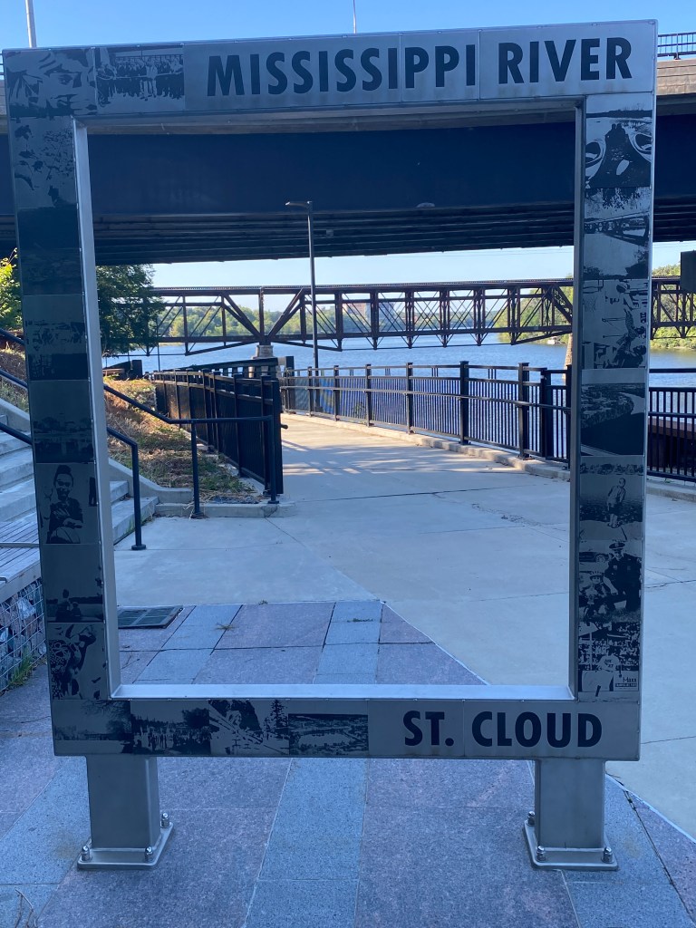
MS River Day 3: Baxter – St Cloud, MN
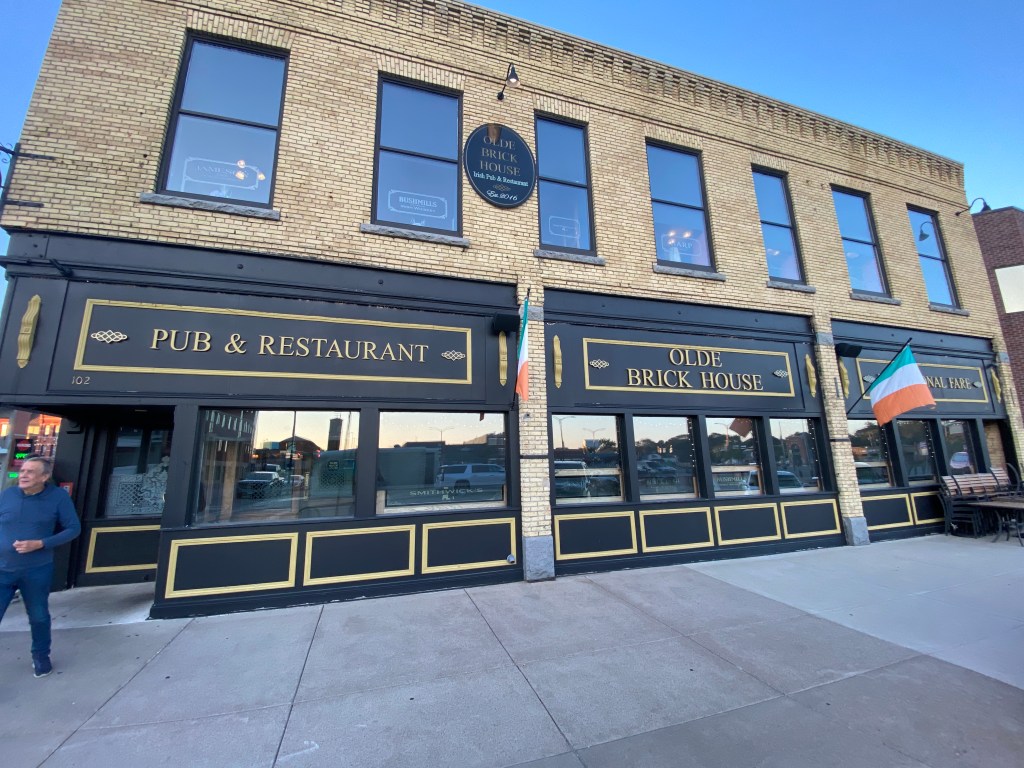
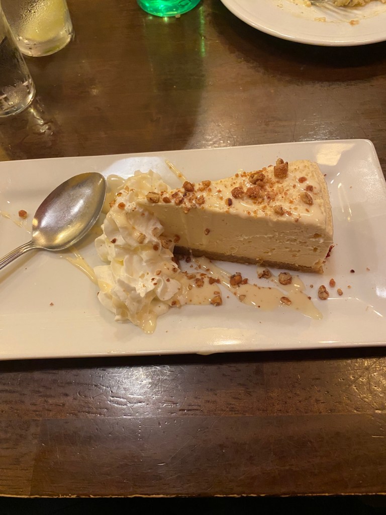
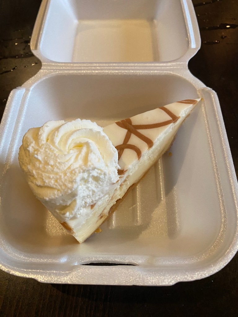
Standard morning routine. No waffle maker at the Holiday Inn breakfast buffet but a pancake maker. Press a button and a couple of minutes later two much better than frozen microwaved pancakes drop onto a plate. Departed at 0815 with foggy conditions for the first 20 min or so. Most of the initial 17 miles were on the Crow Wing section of Paul Bunyan Trail. Far more bends, S-curves, and elevation than previous trail segments. Had a couple of 10-mile road sections with a cross/tail wind which invited a solid tempo pace in aero position. Newps extended is streak to three with another flat. Rode by another memory from the past: Camp Ripley. Turned around at the final roundabout before the lunch spot for additional miles and to ensure a smaller arrival time window. Lunch was at Charles Lindbergh State Park in Little Falls a few miles beyond where we had lunch on Day 0. Took a short detour onto a trail to take a picture of another set of locks on the Mississippi. Two MS River crossings today and it’s no longer smaller than the creek that runs behind our house in VA. Enough time for a 2 1/4 mile walk along and double crossing of the MS river before dinner at the Olde Brick House, an Irish Pub. Probably should’ve had the shepherd’s pie but ordered the stuffed salmon with risotto and asparagus, house salad, seafood chowder, and Bailey’s cheesecake. Salmon was overcooked, asparagus slightly undercooked and no complaints with the chowder or dessert.
RWGPS data: 74.2 miles, 1089’ elevation
Actual ride: 87.09 miles, 1654’ elevation, moving time 4:52, total time 6:28


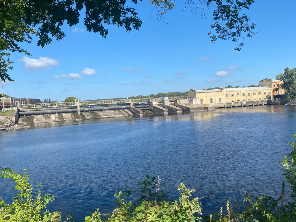


MS River Day 4: St Cloud – Coon Rapids, MN
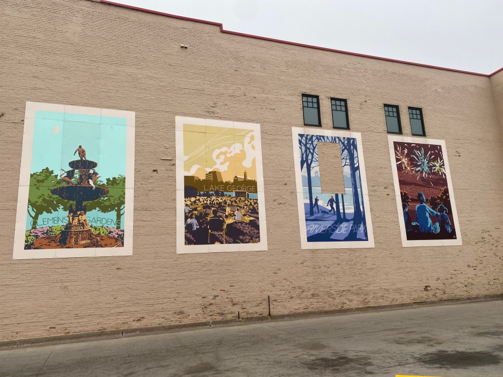
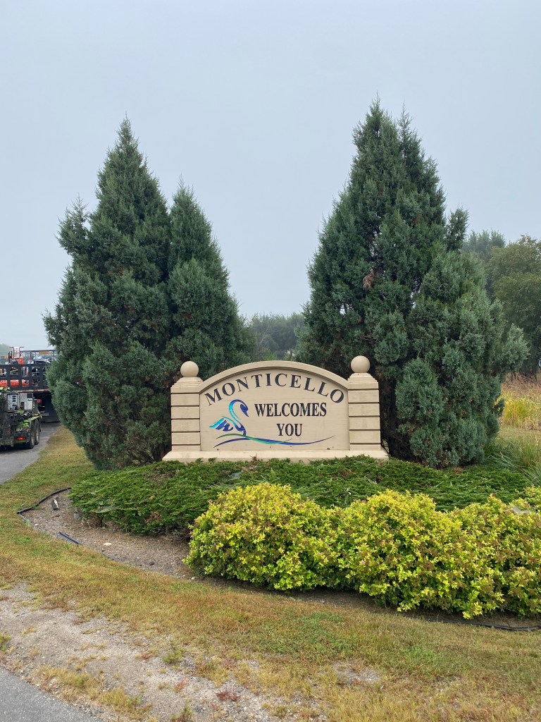
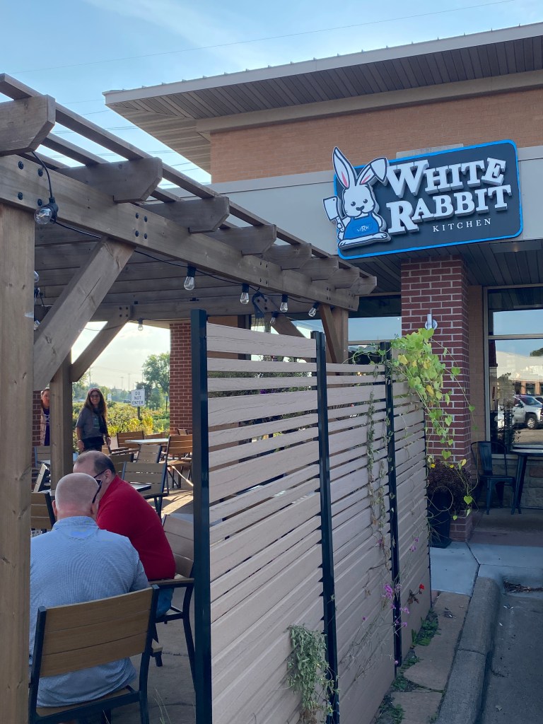
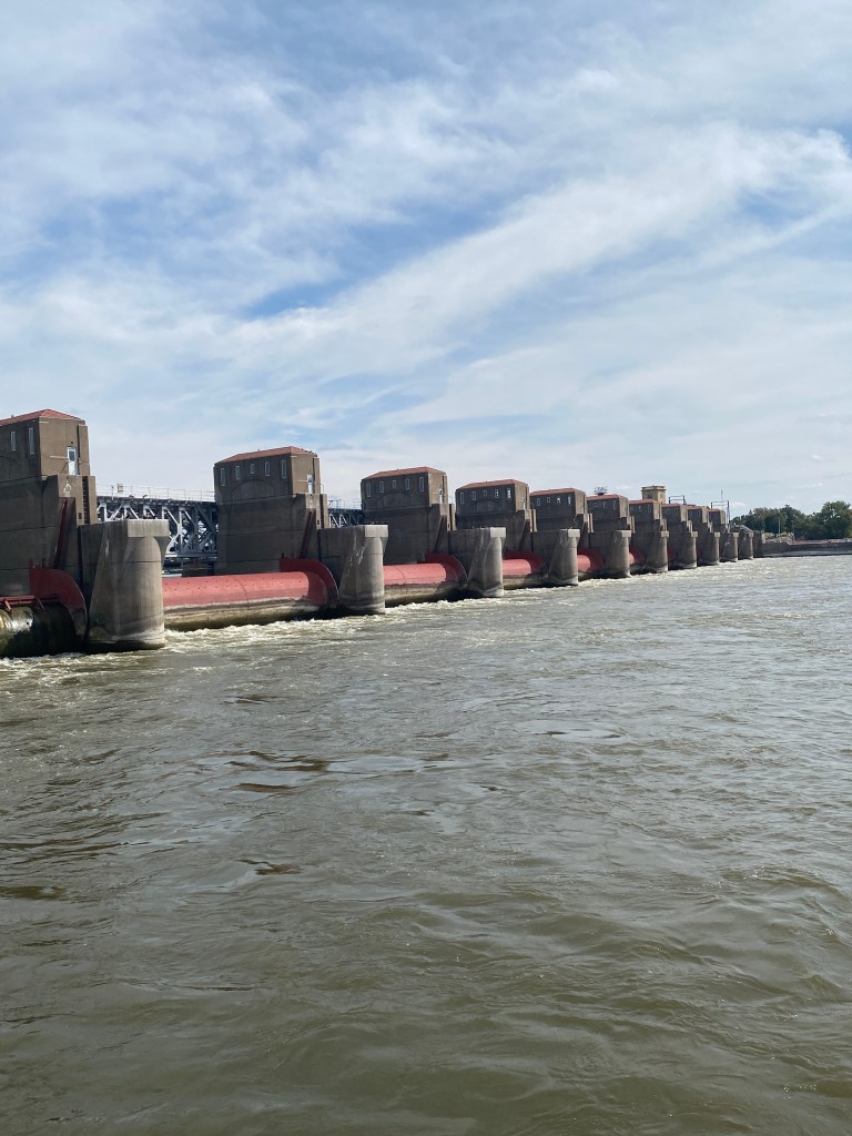
Standard morning routine followed by a true, sit-down breakfast buffet in adjoining Green Mill restaurant. Real scrambled eggs, thick pieces of ham, French toast sticks, bananas and grapes. Started the ride at 0815 in a heavier fog and mist than yesterday but it didn’t burn off until 3 hours later. A combination of trails and road leaving St Cloud transitioned to only roads until transitioning back to trails for the final 6 miles. Monticello is a quaint little town with several colorful wall paintings and Otter Creek Park, comically displaying its namesake on a bike. Lunch was at Scenic Overlook Park – which it definitely was NOT. Explored the numerous trails in the park and not a single, unobstructed view overlooking to river to be found. The park should be renamed The Overgrown and Obstructed View Park. Now, there were wooden steps that led down to water level but it certainly would not have provided an overlook view. The sun came out as lunch was finishing and the temperature rose accordingly. A more leisurely pace after lunch leading to the trail that runs by Coon Rapids Dam. That is an impressive site. Such power in harnessed water and the force of the water reverberates through the dam riding across the walkway on top. That was the only crossing for the day. Today was an all-route headwind ride except for the 7-mile double back before lunch. There was one .34-mile climb within the final 3 miles. Cleaned the bike upon arrival at the hotel. The fog and the moist conditions turned Synful into a dirt and grime magnet. We both felt better afterwards. Drove to Andover (didn’t know MN had a city with that name) with the friendly navigation voice repeatedly saying that the unusually heavy traffic would make the trip longer than it normally would. If only it would say something that wasn’t obvious. Ate at the White Rabbit Kitchen and had the turkey wild rice bom appetizer, garden salad, summer salmon, and basque cheesecake. The appetizer was delicious, the salmon the best so far on the ride but the accompanying vegetables were undercooked, and the cheesecake had an interesting texture but good. It wasn’t smooth and creamy like most cheesecakes.
RWGPS data: 63.4 miles, 1510’ elevation
Actual ride: 79.03, 2333’ elevation, moving time 4:48, total time 5:49


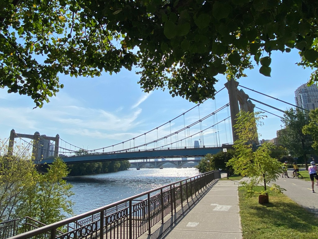
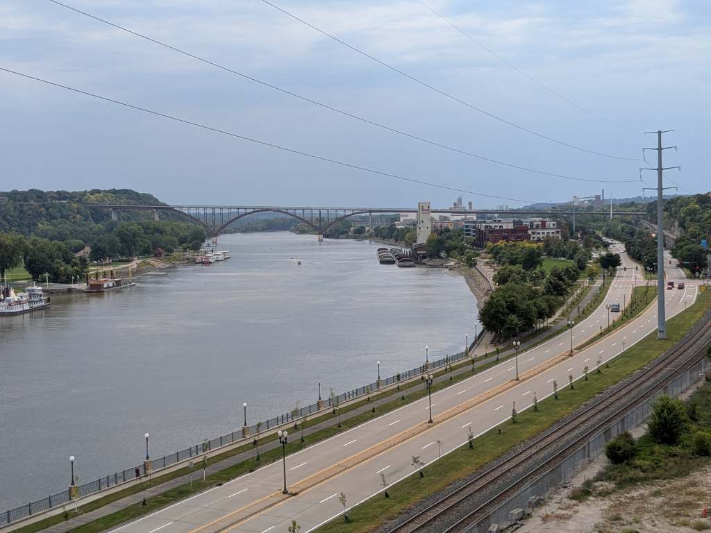
MS River Day 5: Coon Rapids – St Paul, MN
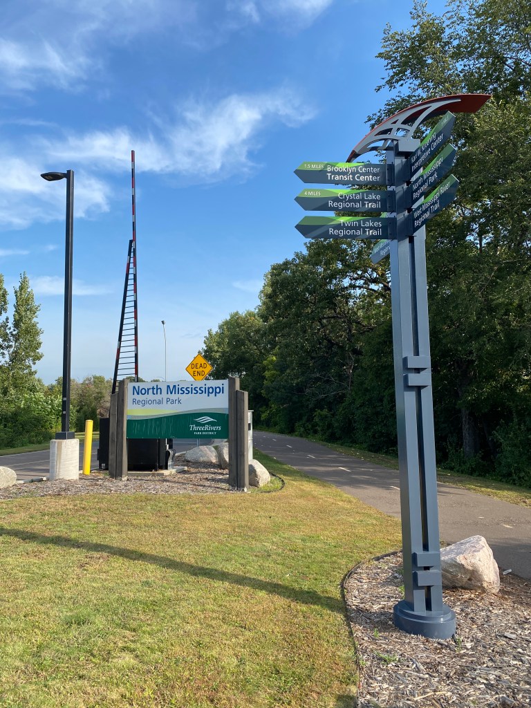
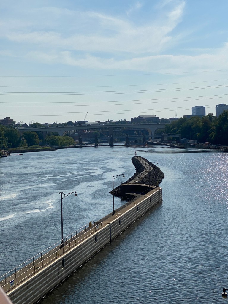
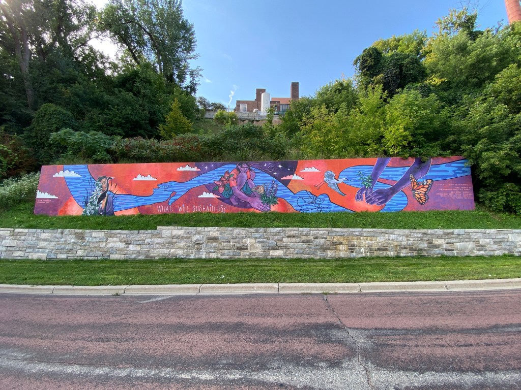
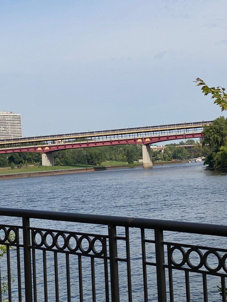
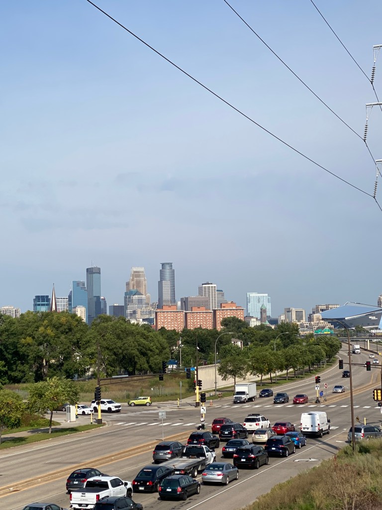
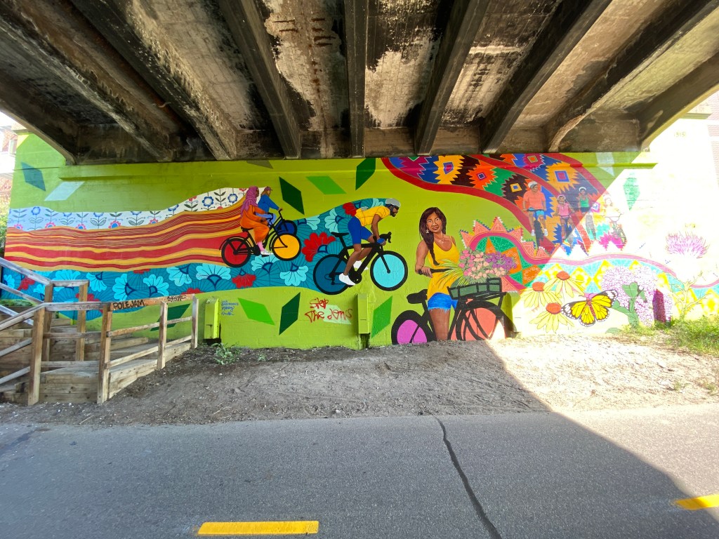
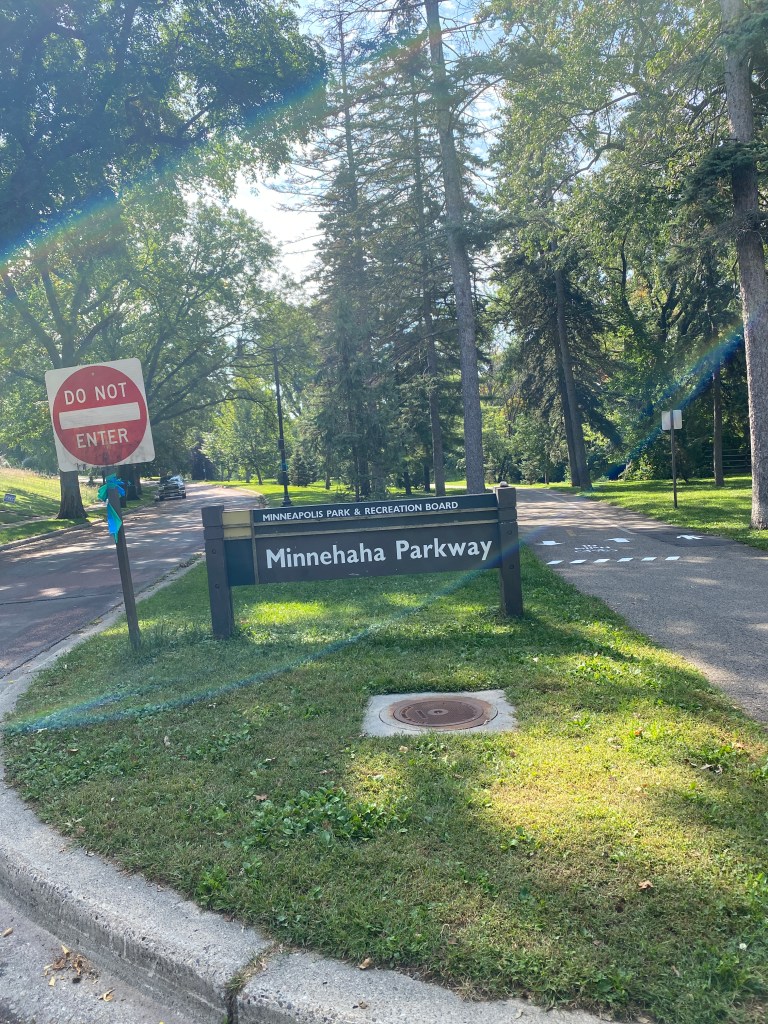
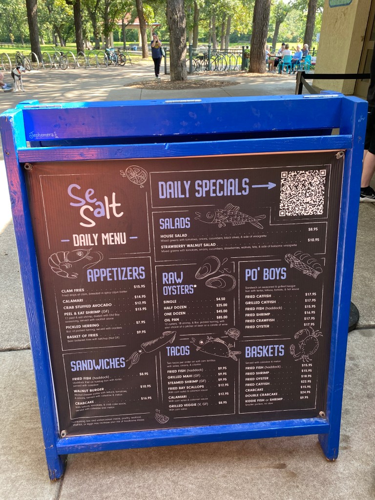
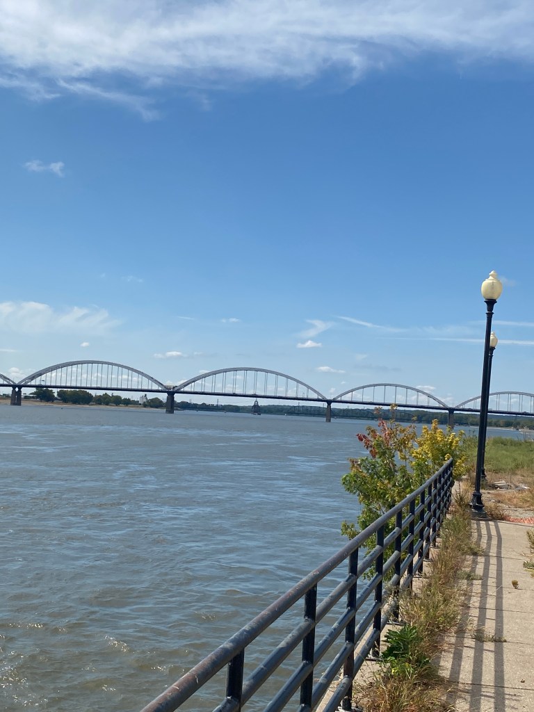
Skipped the morning routine to give the legs a day off. Ate a lighter breakfast as we would have a sit down lunch as opposed to a picnic-style one. Dressed, bags repacked and dropped off before 0800 and ready to ride by 0815. Today would be a recovery, group ride with many turns, switching from trail to road, and a sightseeing flavor with Lawyer Guy’d as our travel guide and historian – very informative. Cycled over the first MS River crossing and through a couple of different regional parks on the way into Minneapolis. Crossed over the Stone Arched bridge, the only one along the entire length of the MS and back again on the campus of the University of Minnesota (that’s 3 crossings for the day so far). Unfortunately our Guy’d didn’t know the reason behind the university’s nickname: Golden Gophers. According to Google AI, “Gopher” originated from an 1850s political cartoon showing elected officials as gophers pulling a railroad cart. The Golden portion comes from the all-gold uniforms worn in the 1930s. Legendary radio announcer Halsey Hall put the two together calling the team the “Golden Gophers.” Now you know the rest of the story. A good day for an easy ride as the headwind was blowing harder than yesterday. Besides, the legs were flat, complaining a bit, and really didn’t like any out of the saddle peddling. One trail, can’t remember the names because there were many, had all kinds of bridge art. Stopped to take a photo for many but not all. Some of the themes didn’t resonate and would’ve permanently lost contact with the rest of the group. Far more trail users through the city than outside. Stopped at Mel-O-Glaze Bakery but it was on self serve. A number was posted to call, speak with the owner or someone in charge who provided the code to the door lock, select your pastry items, donut holes (our goal), donuts, cookies, pie slices, etc., and pay via the tablet left on the counter. Quite trusting but it seems to work. Biked along a series of lakes on one-way trails, 3-laned ones (bi-directional bike lanes and walk/run lane) interspersed with 1- and 2-way bike lanes with a separate walk/run trail. Rolled into Minnehaha Park to see the Falls. Quite a geologic phenomenon: water pouring over a 53-foot drop into a sheltered rock bowl. Ate lunch across the path from the Falls at Sea Salt: grilled mahi tacos and a cup of black beans and rice. The former was rubbery and disappointing, the later was much better. Soloed after lunch to the hotel with helpful hints from Lawyer Guy’d reference when to stay on the road versus the trail. Apparently there was an updated route for Day 5 that he had. Think most of his comments were retained but the GPS got wonky a little before and then entering St Paul proper. Did an extra loop when the route depicted on the Garmin didn’t exist in real life and a few circles getting to the hotel as a primary street was closed for construction. Missed seeing the confluence of the MN and MS Rivers. The fourth and final MS crossing occurred upon entering St Paul. An excellent route and quite educational recovery ride along trails and roads (maybe a 70/30 ratio). Garmin described the training effect as some aerobic benefit and no anaerobic benefit with a load of 37. The average load for the four previous days was 180. There were four supposed climbs ranging from .25 to 1.03 miles but the grade colors on display significantly exaggerated the steepness of the ascents.
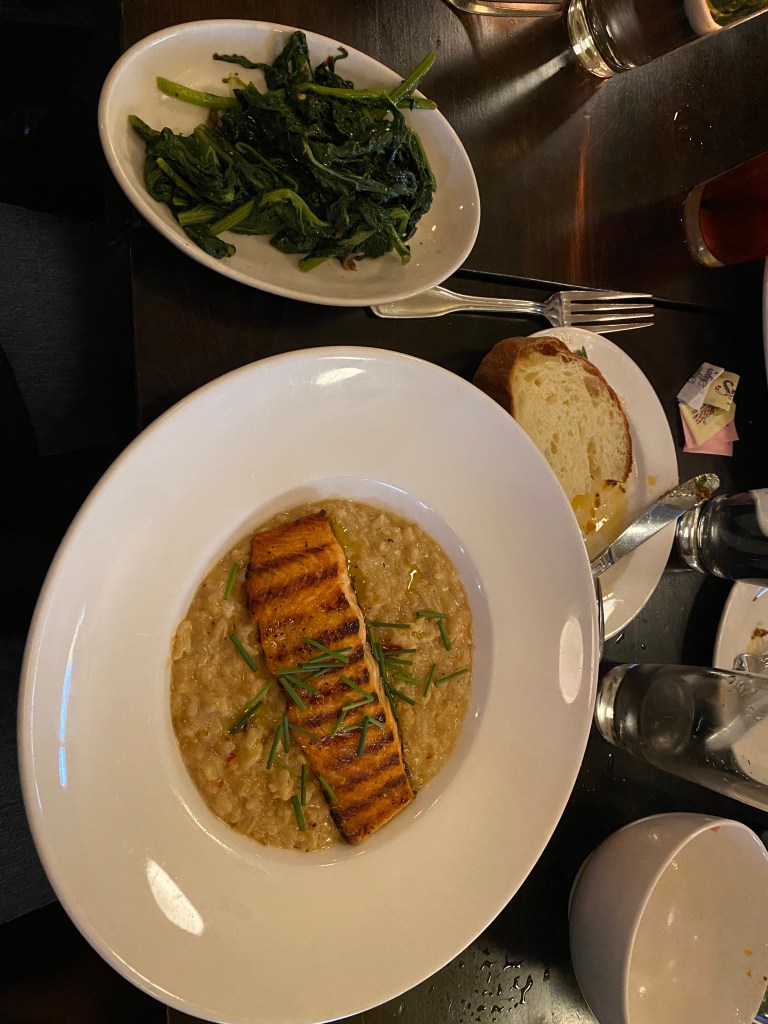
Walked across the street from the Hampton to Louis for dinner. A very nice Italian restaurant and ate way too much: chili shrimp bruschetta appetizer (very good), farmers salad (ok), broccoli rabe or rapini (ok but no seasoning), salmon with risotto (a little better than ok but definitely not king salmon – nor anywhere else), fresh bread, a slice of Boss Man’s 70th surprise birthday cake, and vanilla gelato.
RWGPS data: 43.8 miles, 918’ elevation
Actual ride: 48.97 miles, 1736’ elevation, moving time 3:52, total time 6:23


MS River Ride Rest Day 1
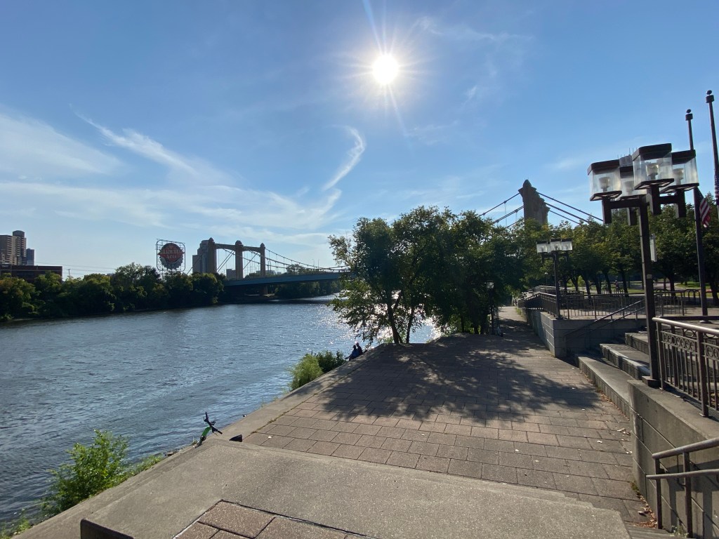
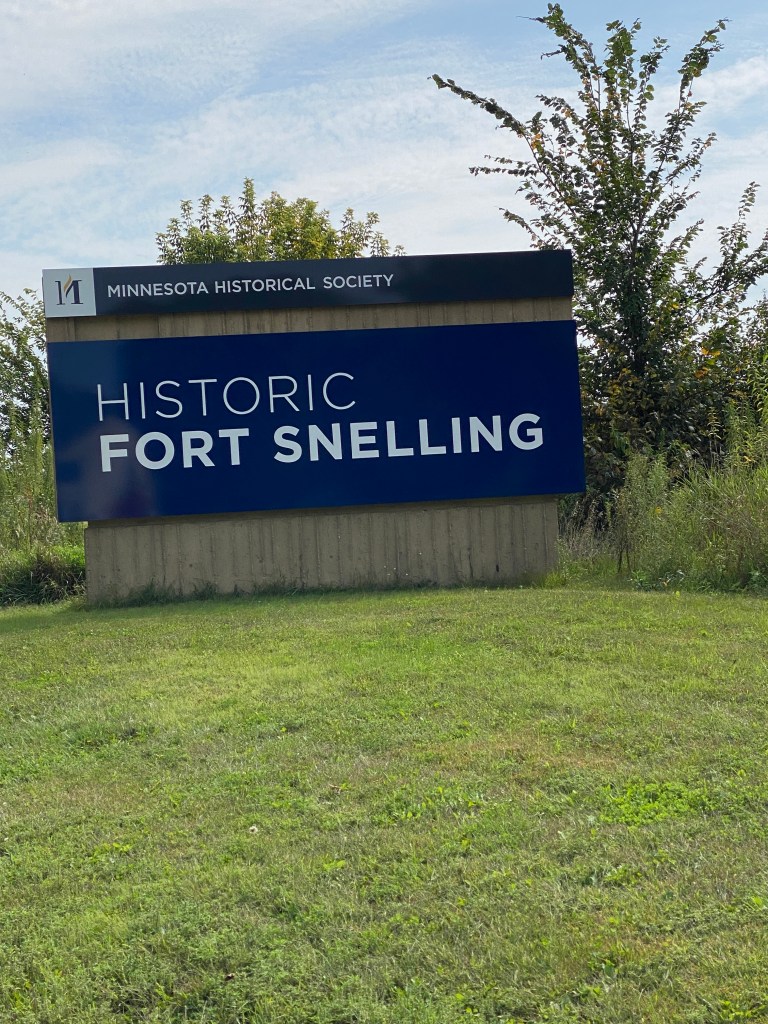
Last night searched RWGPS for a 30-ish mile route that intersected somewhere near the hotel. After scrolling through a couple of pages, found a 31.1-mile route that was just on the other side of the river. That meant two crossings plus the route itself crossed twice for a total of 4. Slept in an extra 30 minutes and skipped the morning workout as goal was rolling by 0700, back by 0900, breakfast, shower and ready to depart at 1000 to a local bike shop for a kit and on the off chance, a replacement tri-glide buckle for my heart rate monitor strap. Four plus years of exposure to body sweat, rain, and who remembers what other liquids drenched my jersey is sufficient to corrode the original buckle to point of disintegrating into multiple pieces. A few others had different reasons for wanting to go. Made departure time target but in haste to be punctual, neglected to fill the water bottle. Took advantage of one of the public drinking fountains stationed along one of the trails. All good. However, encountered the same dilemma as in Montreal. Arrived at the proper grid location to cross the river but not the correct elevation. None of the bridges were at river level. Back tracked a little to cross the same bridge as yesterday and connected to the route. Unknowingly, the route included some of the same roads as yesterday but headed in the opposite direction. Passed the VA Center, Fort Snelling, and Hiawatha Falls. Did see another large flock of wild turkeys. There was some kind of organized charity ride as passed many folks wearing purple t-shirts and volunteers positioned and many intersections providing direction and encouragement. Saw many other solo riders and small groups getting their Saturday morning workout done. Again, a combination of road and trails with a good portion of the route paralleling the river. According to the map, passed the confluence of the MN and MS but didn’t see a cut-out or spot with an unobstructed view. Unable to follow the route in its entirety on the return segment as construction blocked off a part. Returned a couple minutes after 0900, had breakfast with some of the group and met one of the new arrivals (Jane Addams). Showered and at the van a few minutes after 1000. Initial destination, Freewheel, didn’t open until 1100 so went to Now Bicycles first. They had several shop Pactimo jerseys in various colors but only black Castelli or Pearl Izumi bib shorts. Nope. Looking for a 2-piece suit, not a sports coat and slacks. Stopped off at Freewheel on the return trip. They had one kit, but not available at that location and it didn’t indicate location of the shop. Looks like a MN-themed kit won’t be added to the wardrobe. No replacement chest strap or buckle either. Electrical tape it is for the duration of the tour. Have other straps at home but didn’t think to pack an extra one. Did the first load of laundry – cycling kits and other nondryer items. Had time for a 4.6 mile walk along the river and up through part of downtown. Even saw the beginning of a wedding in a park.
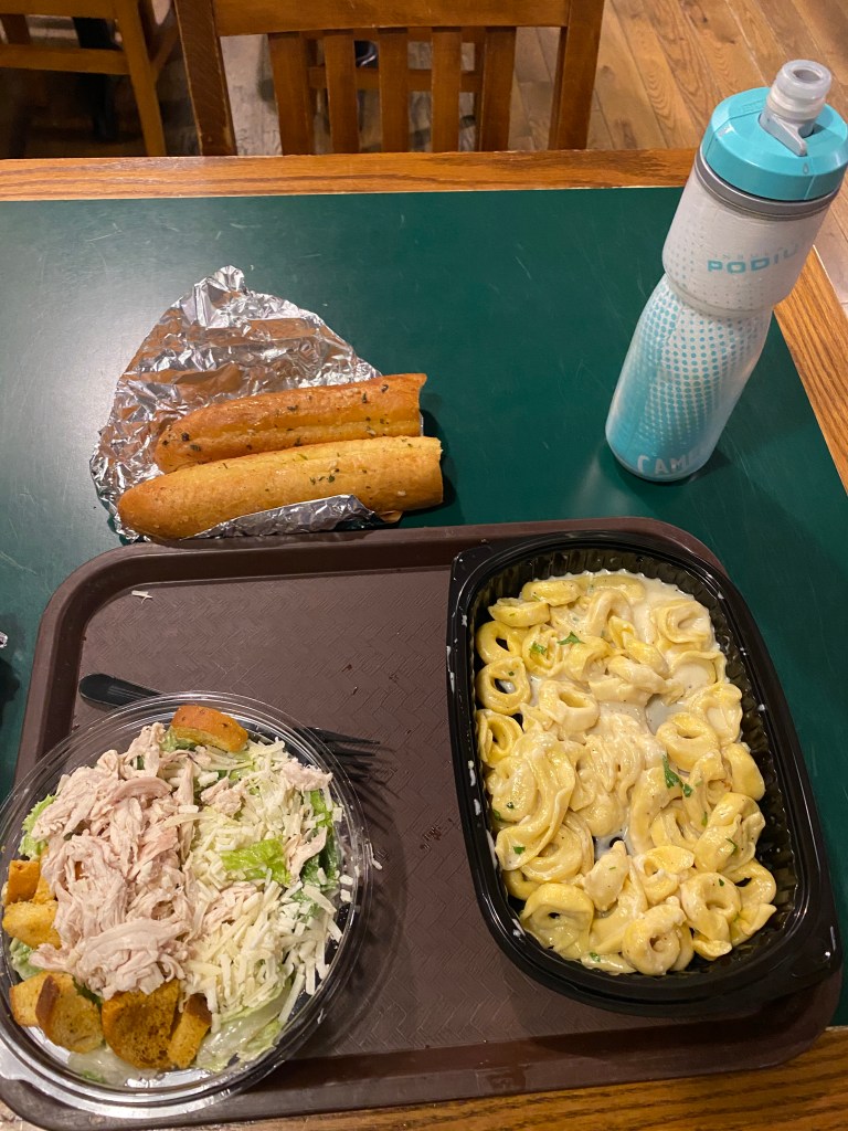
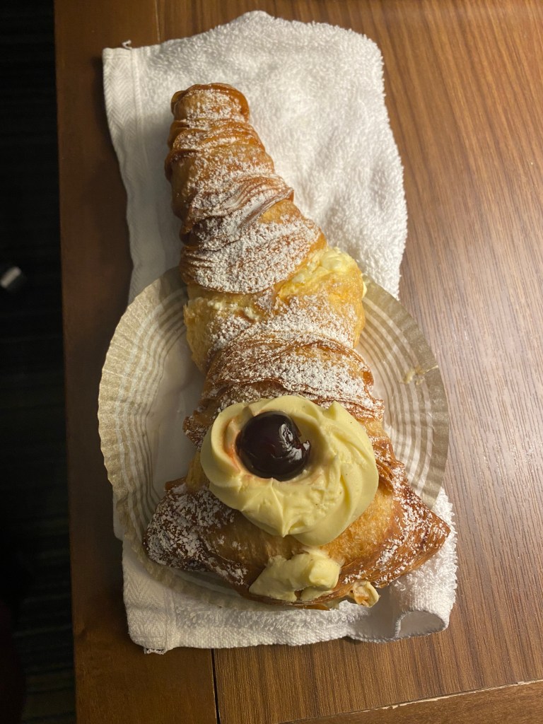
Walked across the street to Cossetta for dinner. It’s essentially a glorified food court eatery specializing in Italian dishes. Perfectly fine as long as you keep that in mind. Ordered a small chicken Caesar salad, Tortellini Alla Panna, and bread sticks. Met expectations and the salad was stuffed into the small bowl. Walked across the hallway to the dessert/bakery side for a lobster tail. Picture a large, custard filled baked croissant. Didn’t know the pastry was going to be crunchy.
RWGPS data: 31.1 miles, 1172’ elevation
Actual ride: 28.30 miles, 1070’ elevation, moving time 1:50, total time 2:00


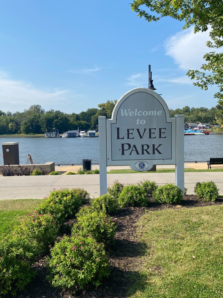
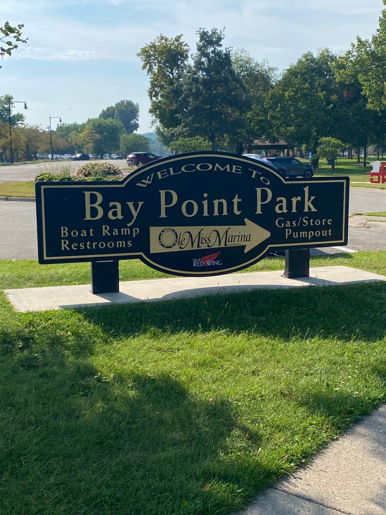
MS River Day 6: St Paul – Red Wing, MN
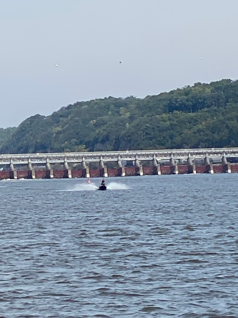
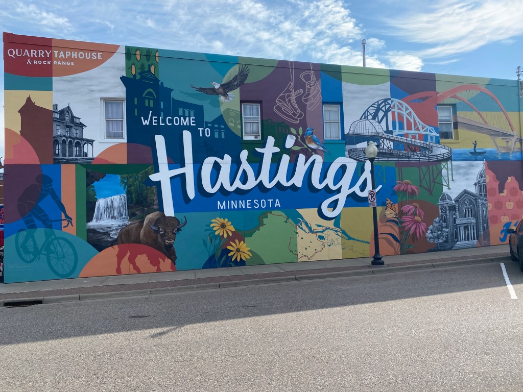
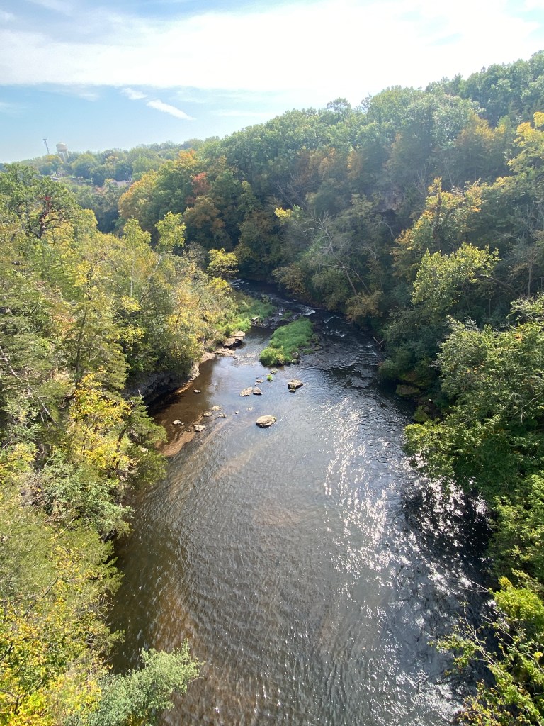
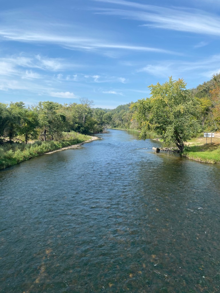
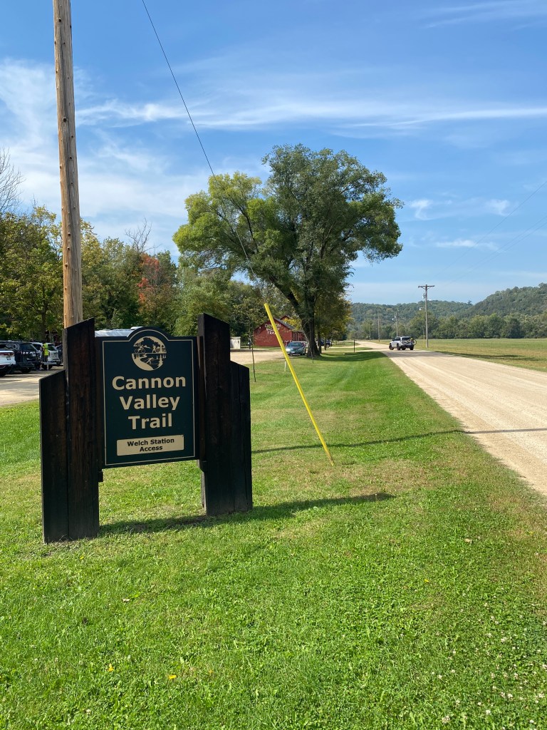
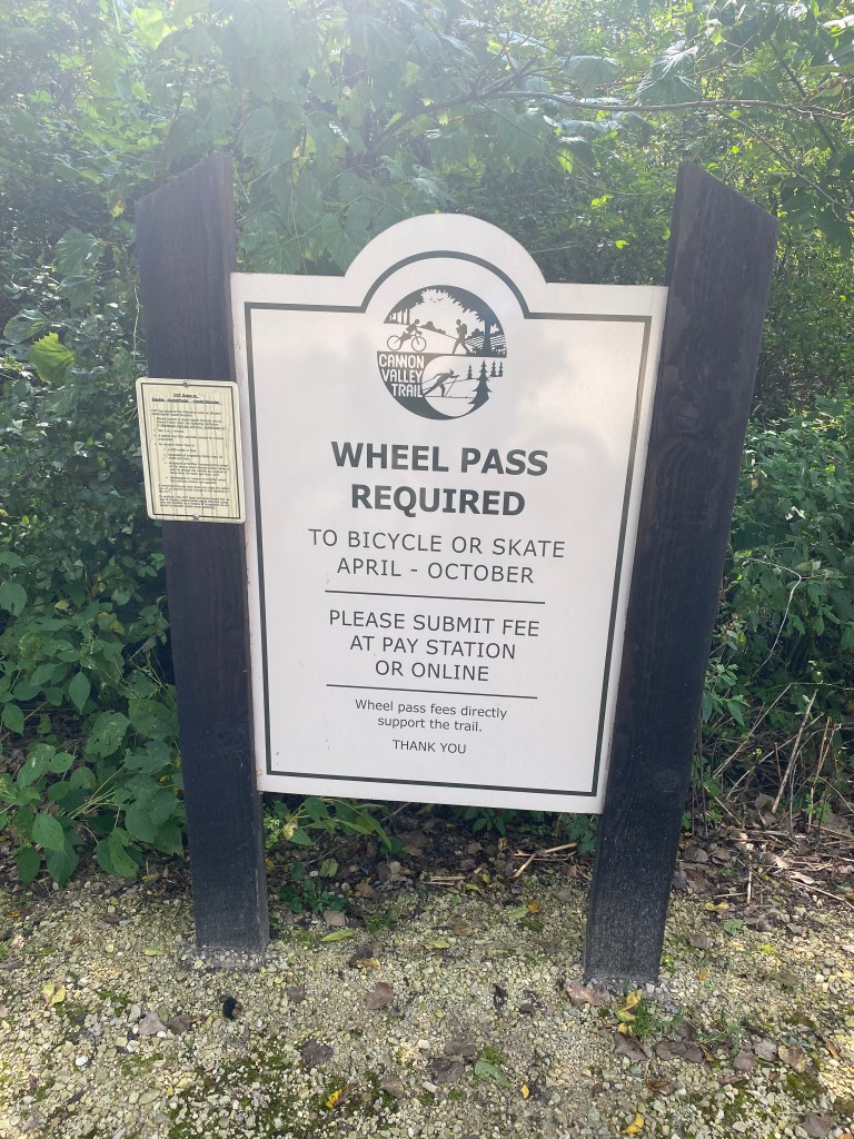
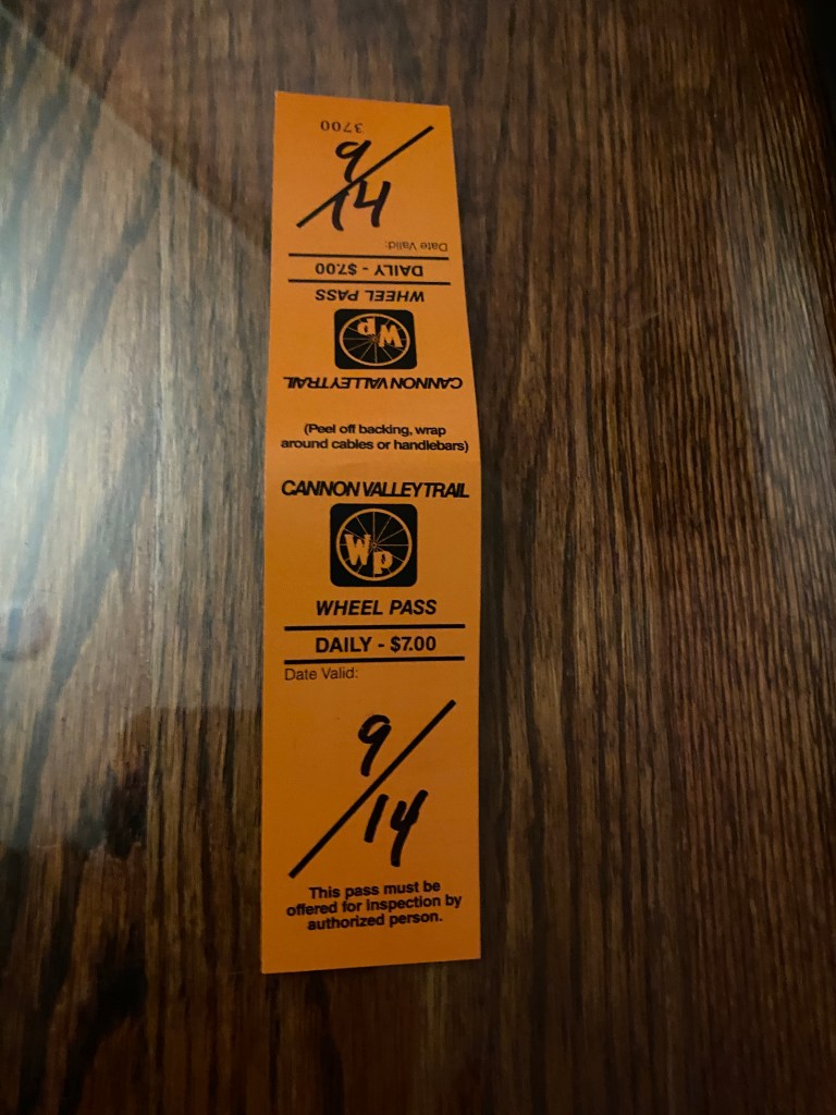
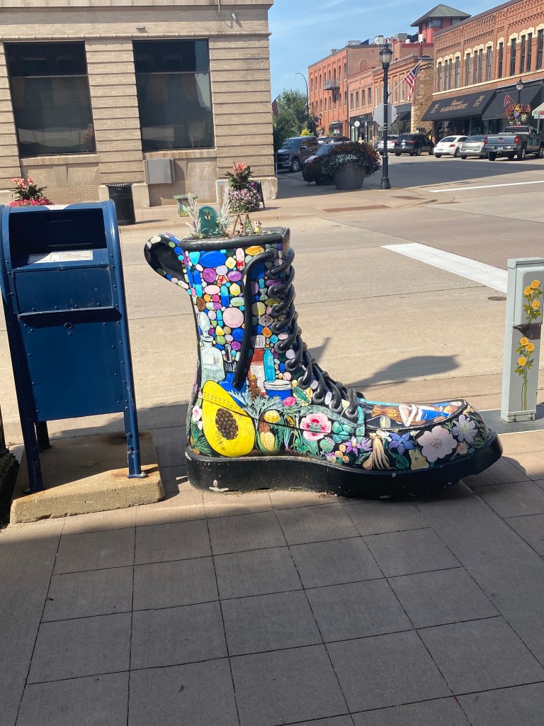
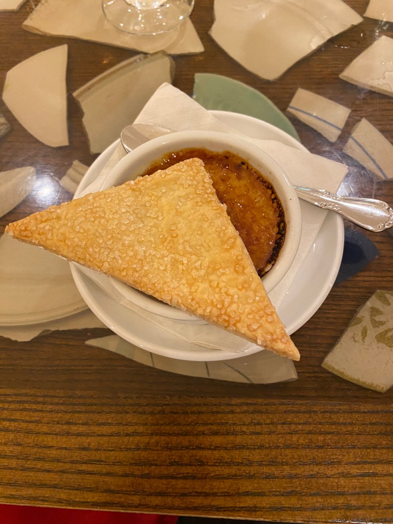
The group composition changed a little after the first rest day and start of the second segment of the Epic Mississippi River Tour. Boss Man returned home to spend a little time with Boss Lady before driving to San Diego and leading the next Southern Tier tour. GF arrived as the second guide to support Captain. Two additional riders joined the group; Jane Addams (met yesterday) and Seven. Slept a little later as there was some confusion about when breakfast is available at Hampton Inns on Sunday. No matter, completed a shortened set of squats, lunges, and push-ups before breakfast. Repacked and delivered bags to the van by 0800 and ready to roll by 0815. Lawyer Guy’d made an unannounced, surprise appearance to lead the group over the only Mississippi River crossing for the day, out of the city on a slightly tweaked route to decrease the number of turns, and to the first water stop. Cycled on mainly trails, both the parallel roads and through regional and state park varieties for the first 26 miles. Bid adieu to Lawyer Guy’d and extended an open invitation to Sunday Family Dinner to him and his wife if they’re ever in the DC area and have time. Lost track (wasn’t really keeping a tally) of the number of railroad crossings encountered by it was a double-digit number. Also don’t remember the names of all the trails we were on but the Mississippi River Greenway was one of them. Along that trail is a buffalo herd with an associated QR code that can be scanned to provide the location of the herd. Didn’t scan it. Would either see them or nah. Not today. A number of spectacular sights overlooking the Mississippi from bluffs and other amazing scenery from elevated views crossing over bridges. Took a slight detour before entering Hastings, a quaint, little town, to view Lock and Dam No. 2. No chutes were open or water flowing so the site wasn’t as impressive as the Coon Rapids Dam. There were a couple of boats and a jet ski zipping up and down the dam and the downtown area. Today was another all-day headwind event. Conditions weren’t bad on the trails when protected by trees on both sides but was more like work when the trails were exposed or when on any of the roads. Particularly, the nine-mile stretch of road after the second water stop was uncomfortable to maintain a decent speed. Four Garmin categorized climbs today and two of them were legitimate one-mile inclines. Had a nice decent shortly after the second incline and before returning to the trail, Cannon River Trail this time, that would take us to Red Wing. Interestingly, this trail assesses a $7 wheel pass to riders of bicycles, skateboards, and scooters but not walkers. Did a short, 5-mile out and back on the trail before the lunch spot and finished with most of the group. Not sure what the collecting authority does with the proceeds collected from the wheel pass but portions of the trail between the lunch stop and Red Wing were some of the worst experienced so far. Newps added to his mechanical ledger when he flatted crossing the final set of railroad tracks that were less than a half mile from our accommodations, the rather swanky St James Hotel. Our rooms weren’t ready upon our arrival so rode the Red Wing Bicycle Company only to discover they’re closed on Sunday and Monday. Rode to the Red Wing Shoe Company to see the world’s largest boot. It’s big but not sure it would even fit Paul Bunyan. Had time for a 3-mile walk along the Mississippi, around Bay Point Park, and through the downtown area. No shortage of churches in the area. One even has what appears to be dual crenellated towers. Who were they defending against in 1903 when it was built? Had dinner at the on-premises restaurant, the Scarlet Kitchen & Bar. Ordered the Poblano and Black Bean Salad, Pesto Cream Cavatappi with Salmon, dinner rolls, and apple pie crème Brulé. Everything was good (although didn’t see anything in the crème Brulé that resembled apple pie) and filling. Nutritionally saturated in preparation for our longest ride to date tomorrow.
RWGPS data: 57.3 miles, 1955’ elevation
Actual ride: 64.01 miles, 2421’ elevation, 4:11 moving time, total time 5:38


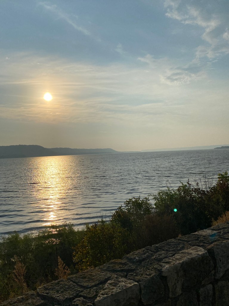
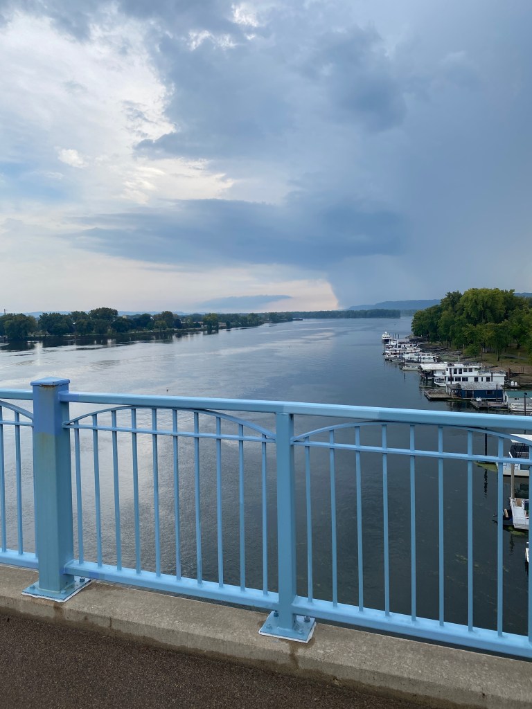
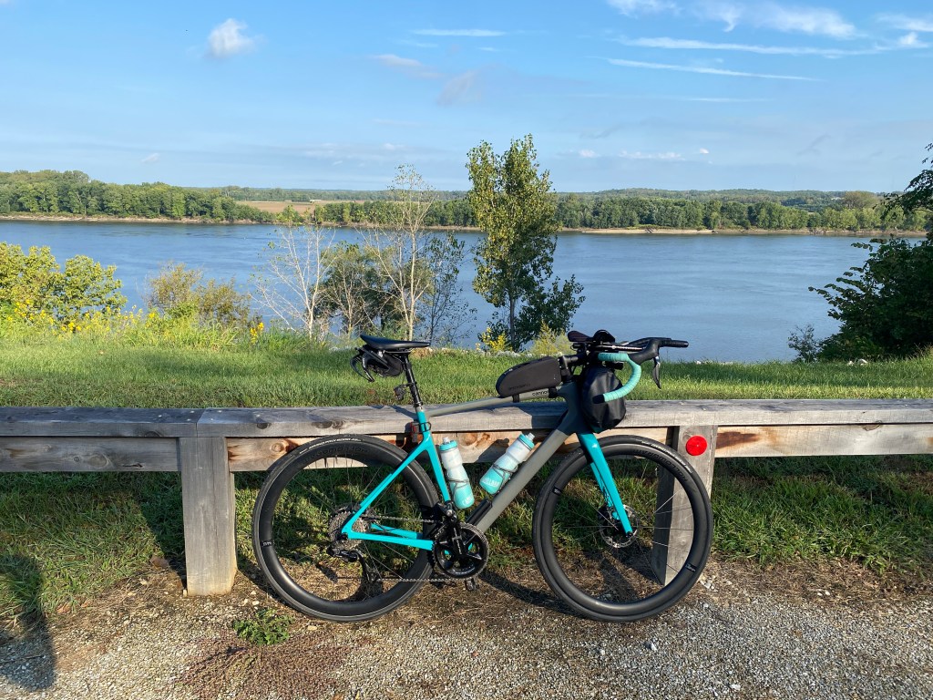
MS River Day 7: Red Wing, MN – La Crosse, Wi
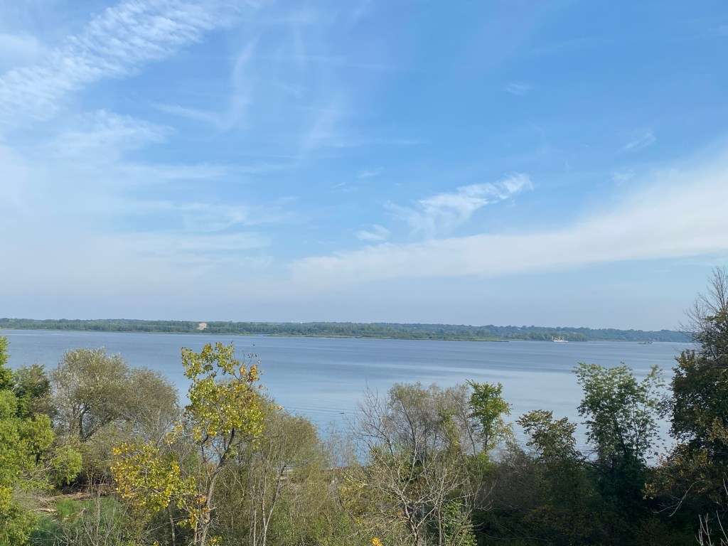
0600 Wake-up but only push-ups in the morning. Quads feeling a little tender. Repacked and hauled the bags to the lobby by 0700 and ready to roll by 0715 for the longest day so far. Plan was to have breakfast in the Lake City, town of the first water stop, around mile 16 as the hotel restaurant doesn’t open until 0700 and other local eateries in Red Wing are closed on Monday. So weird but not the only city that does that. Forecast was clear, wind from the southeast (another all-day headwind day), and temps in the mid 80s. Headed southeast out of town, made a right turn onto Highway 61 where most of the ride would occur. The breakfast location changed when GF arrived in the birthplace of water skiing and discovered it too was closed on Monday. Looped back around to Heidi’s Huggamug and had the breakfast burrito and a blueberry muffin. Both were excellent but a much bigger meal than normally consumed before or during a 100-mile ride. The burrito was huge. The muffin was same diameter of mine but only half the depth. Either way, back on the bike with a full belly. Passed a small winery with signs for pick your own grapes and jams/jellies. Stopped at a pullout to view the MS. Much wider than further north. The entire route paralleled the river, but it wasn’t always visible. No categorized climbs but not pancake flat either. The wind was noticeably stronger after the hour breakfast stop. A few cars or a semi passing by provided a delayed, temporary reprieve from the wind while a due east direction with the bluffs protecting the right flank felt almost like a tail wind. Turned left of Hwy 61 to go through Wabasha but retuned only to turn left at Kellogg. Route was much more rural with far less traffic and passed through what resembled grass covered dunes. Back onto Hwy 61 and stopped at Lock and Dam No.5. Didn’t realize that was the original lunch location which changed as a result of breakfast shifting to mile 16. Began an out and back, ostensibly to get a better view for a picture of the lock and dam, mission accomplished, a few sprinkles and dark clouds further north cancelled that plan. Returned to the lock to wait for others to arrive. The front caught some of our group forcing them to seek shelter while others rode by the lock without realizing that was a rest stop. The positive aspect from the front rolling in was it reversed the wind direction. Now there was a cross/tailwind to the finish. Decided to chase them without knowing how much time had passed since they went by. Caught them after a 10K tempo effort and they weren’t interested in returning. Shared water from the saddle cage (brought 3 for today’s ride) since the two primary bottles were just refilled. Headed off together with Newps, Gambler, and Seven, soon joined by Pilot and Stoker to the next water stop in Winona. Communication with GF revealed the front up north strung out the group and estimated time to arrive was over an hour. Most decided not to wait and find a sandwich shop along the way. A quick Apple Maps search located a Subway shop 1.5 miles along the route. An intense front moved in quickly shortly after leaving Subway, necessitating shelter in place until conditions improved. Regrouped on the road after a 15-minute wait and road together the rest of the way. A mixture of light sprinkles and road spray was sufficient to splatter the back of our jerseys with road grime. A vast majority of the vehicles moved to the left lane when passing but not all. People can be disappointingly small-minded. Only 4 miles on trails today but some busy highways through La Crescent, over a couple of bridges and one Mississippi River crossing into La Crosse. Reached the second state after seven days and over 552 miles, not counting the 28 on the off day, Road conditions were much dryer on the Wisconsin side of the river. Arrived at the Courtyard by Marriott and waited for the rest of the crew to arrive. While cleaning the bike under the front awning, it rained hard for 15-20 minutes before moving on.
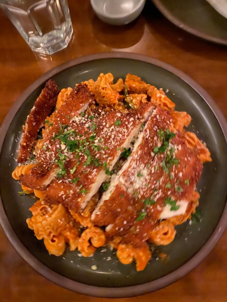
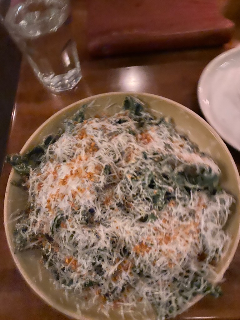
Walked around the corner to Sagra Food and Wine, formerly Piggy’s Restaurant and Lounge. Sagra is a farm to table establishment and makes their own pasta from scratch. Had Artichoke Dip appetizer, kale Ceasar salad, pasta alla vodka with chicken Milanese. Another huge meal with bigger than expected portion sizes. No room for dessert.
RWGPS data: 97.1 miles, 2362’ elevation
Actual ride: 102.65 miles, 3035’ elevation, moving time 6:02, total time 8:30


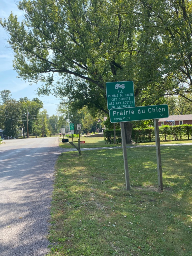
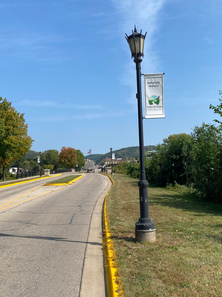
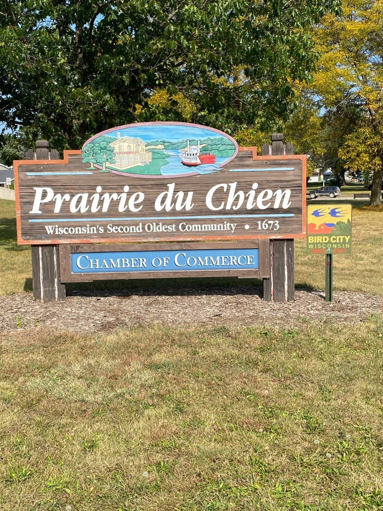
MS River Day 9: La Crosse – Prairie du Chien (pronounced Sheen), WI
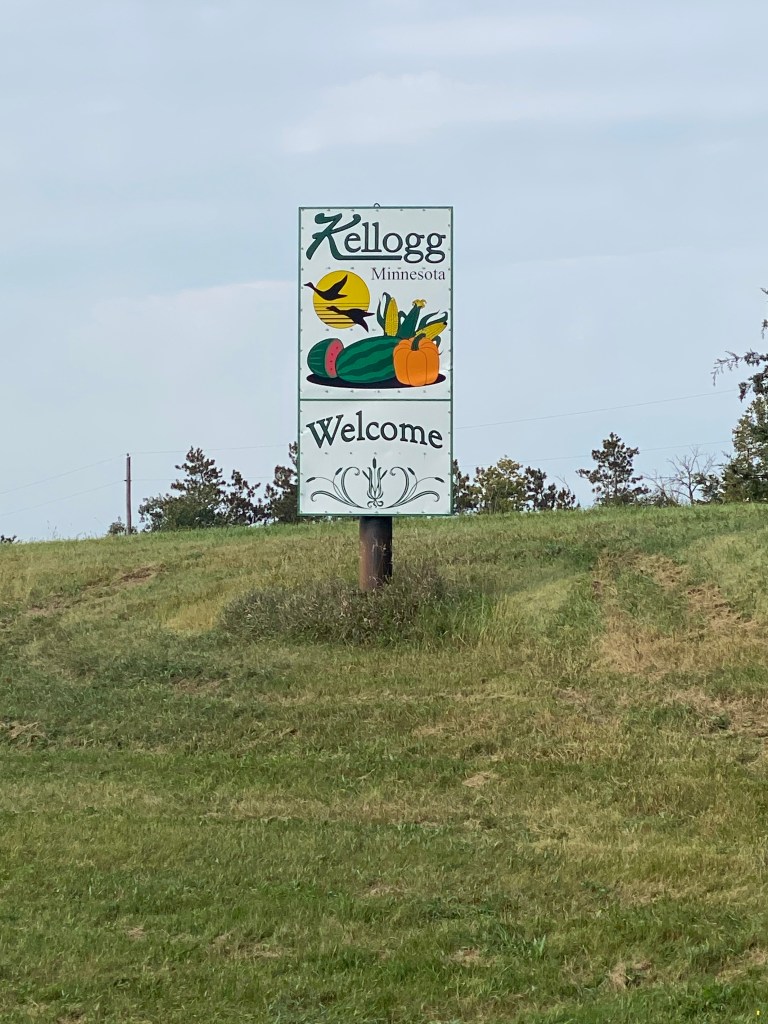
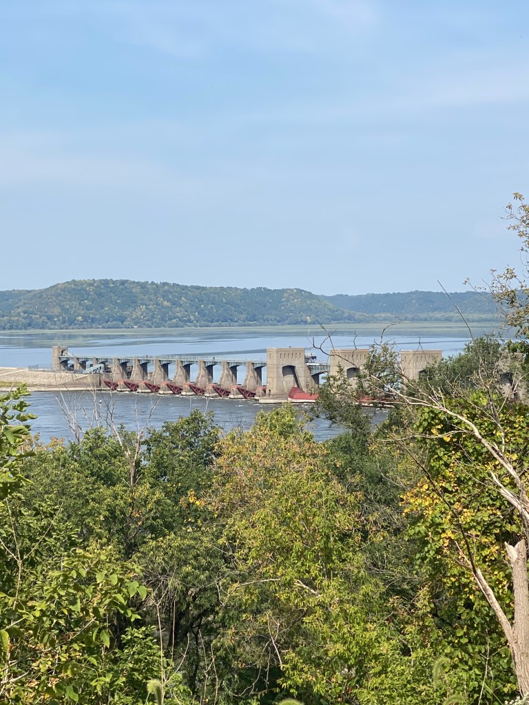
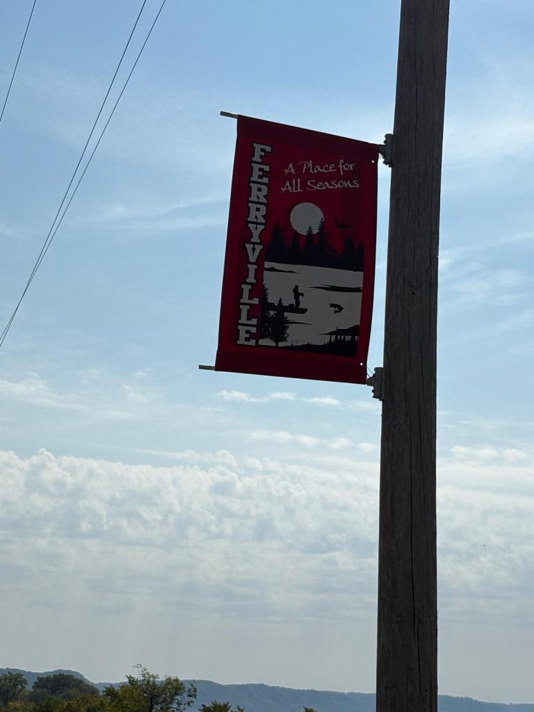
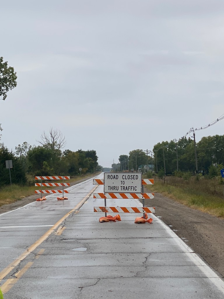
Slept in a bit, 0630, as roll time shifted to 0830 after yesterday’s eventful day. Standard routine and likely to pay for it with a full 3 sets of jump squats and lunges. Breakfast at the hotel’s Starbucks Cafe – breakfast burrito (not fresh like Heidi’s) and apple cinnamon pecan muffin (also smaller and not as good as Heidi’s). Bags repacked and dropped off at the van by 0815 and ready to ride at 0830. A glorious start and stayed that way all morning. Upper 60s at the start, mid 70s before lunch, and negligible winds. Conditions enabled an upper Z2, Zwift Coco effort, to maintain a 20-mph average on level terrain. The first 6.5 miles were on trails, bike lanes, and quiet residential streets. Turned on to Route 35 and would remain on it for the next 49 miles. Stayed with the group until a couple of miles down Route 35. First water stop was Lock and Dam No. 8 at mile 19. Most of the views from the north were obstructed by trees. Slightly better from the visitor’s area but still not optimal. Departure was delayed a few minutes while waiting for a train to pass. Others left earlier and weren’t inconvenienced by the locomotive. Views were much better from the south side. No action at the facility though for either lock or dam. Second water stop in Ferryville at mile 37. Didn’t stay long as lunch stop was next but only 10 miles down the road and planned on an out and back segment to add more miles. However, a couple miles down the road, several barriers with signs stating Road Closed, Road Open to Lynxville, No Access to Prairie du Chien, might put a kink in the day’s plan. Relayed the potential route disruption via the WhatsApp chat group to give guides time to develop an alternative route if necessary. Boss Man chimed in and provided a workaround from Lynxville if required but Alaska and GF both spoke with different folks who indicated the route was passable. Ended up with an 8-mile out and back while signaling to others to continue forward without changes. The road was passable. Lunch was at the scheduled location – a way station just beyond Lynxville. Resumed a more normal, metric-distance ride, nutrition approach, a slice of deli ham and cheese (even though at home that distance would just be 2 gels and maybe fig bars). Lots of mosquitos under the shelter and spent most of the time in the gravel parking lot. Consumed a lot more water than typical, 3 ½ bottle by lunchtime, for that distance. Body’s way of saying yesterday’s consumption was inadequate. The advantage to having a supported ride. No need to carry 4 bottles with the van positioned every 16-20 miles. Passed Lock and Dam No. 9 a couple of minutes after leaving the lunch location with visibility and activity the same as No. 8. Turned right onto Co Rd K 6 miles from Prairie du Chien (PDC) and followed a slightly circuitous route that included a ½ mile on a trail to tonight’s accommodations, the River District Hotel.
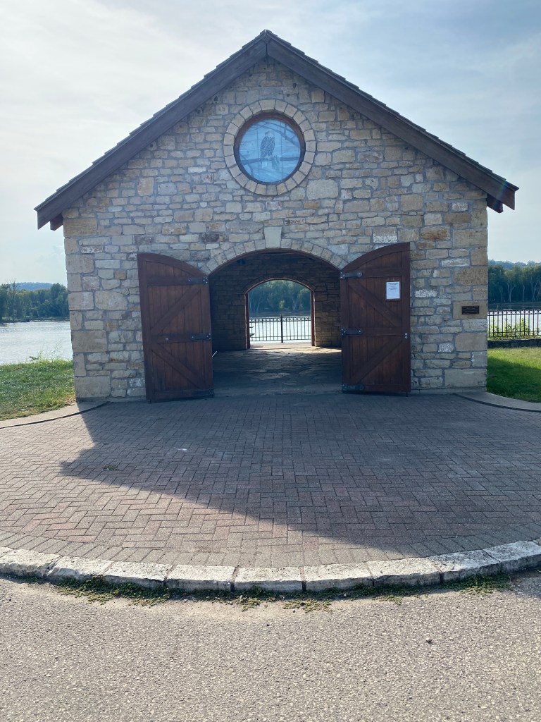
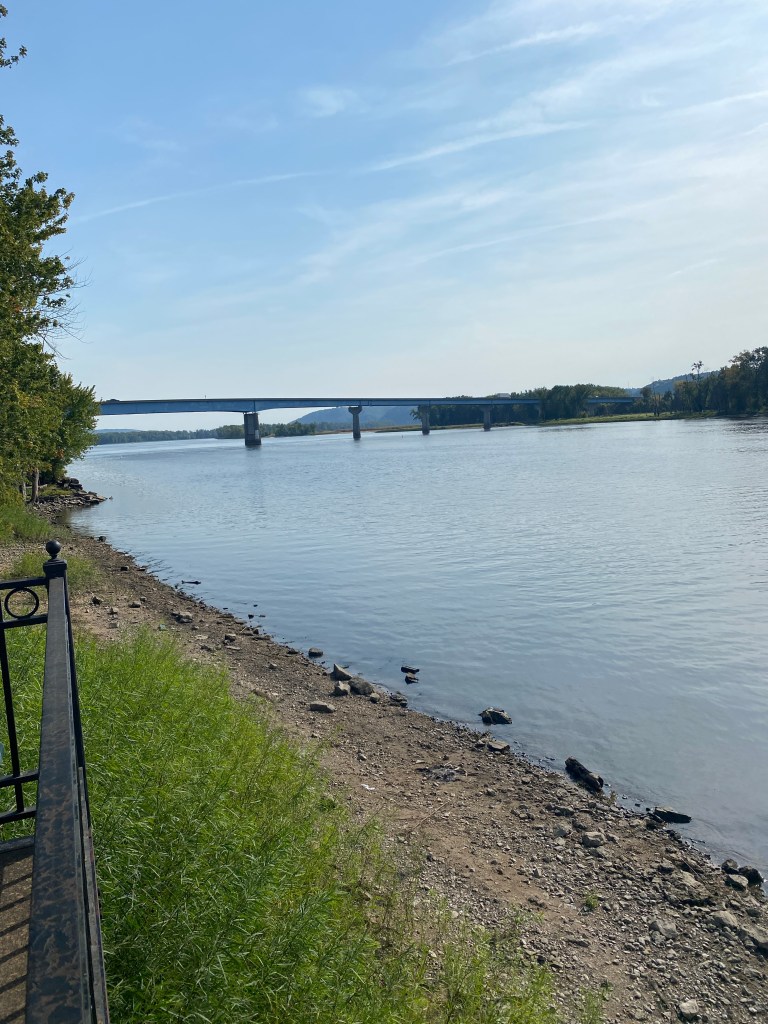
Able to check-in around 2:30 and hotel had small microfiber towels available for bike cleaning. Had time for a 3.7-mile walk through downtown PDC and along the Mississippi. Considered walking across the bridge to have one crossing but neither bridge had a sidewalk and wisely decided to stay on the WI side. Unfortunately, the large metropolis of PDC, population 5911, doesn’t have a local bike shop so now 0 for 2 in obtaining kits from states along the MS. That’s a sad face but likely relief from the Missus. After all, only one can be worn at a time.
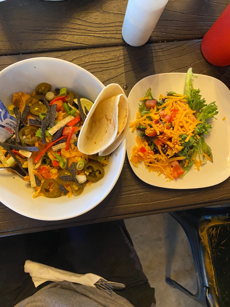
Met the newest addition to the group, Broker, before walking across the street to Backwater Bar & Grill for dinner. He’s returning to this tour after he was forced to abandon his previous attempt after sustaining a noncycling injury. Ordered chips and salsa, side salad, and a grilled chicken fiesta bowl. Not life altering but wasn’t terrible either.
RWGPS data: 62.6 miles, 1707’ elevation
Actual ride: 70.55 miles, 1670’ elevation, moving time 4:02, total time 5:22


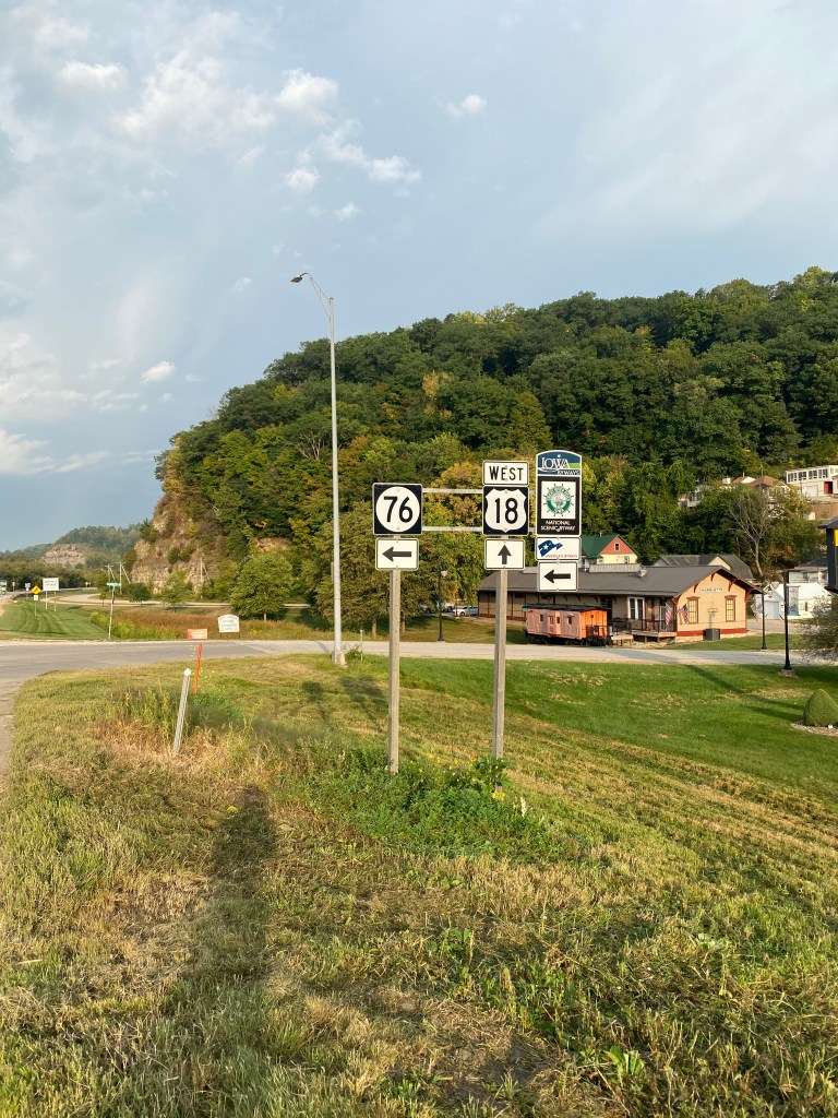
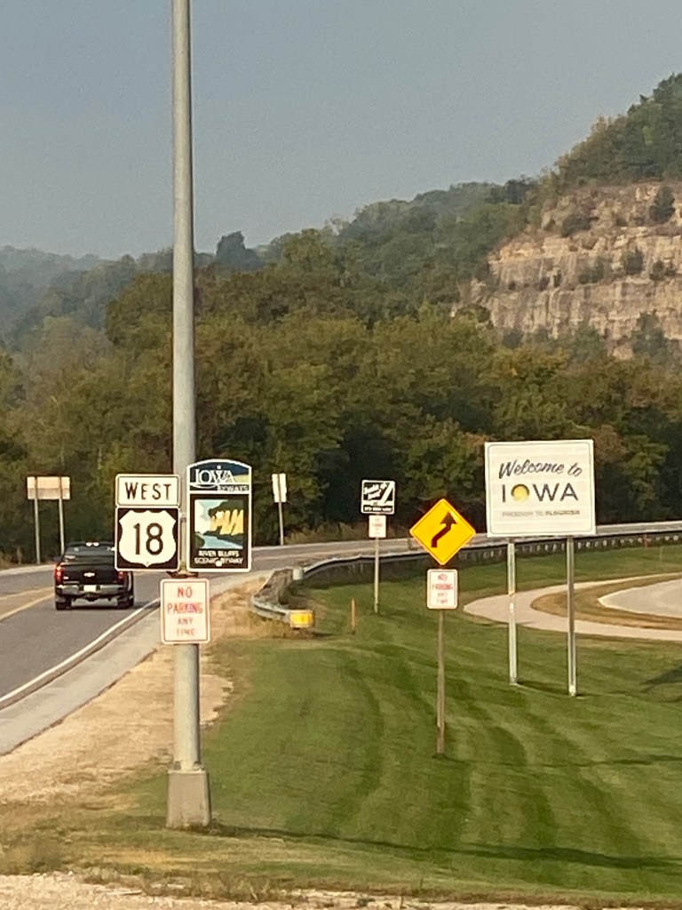
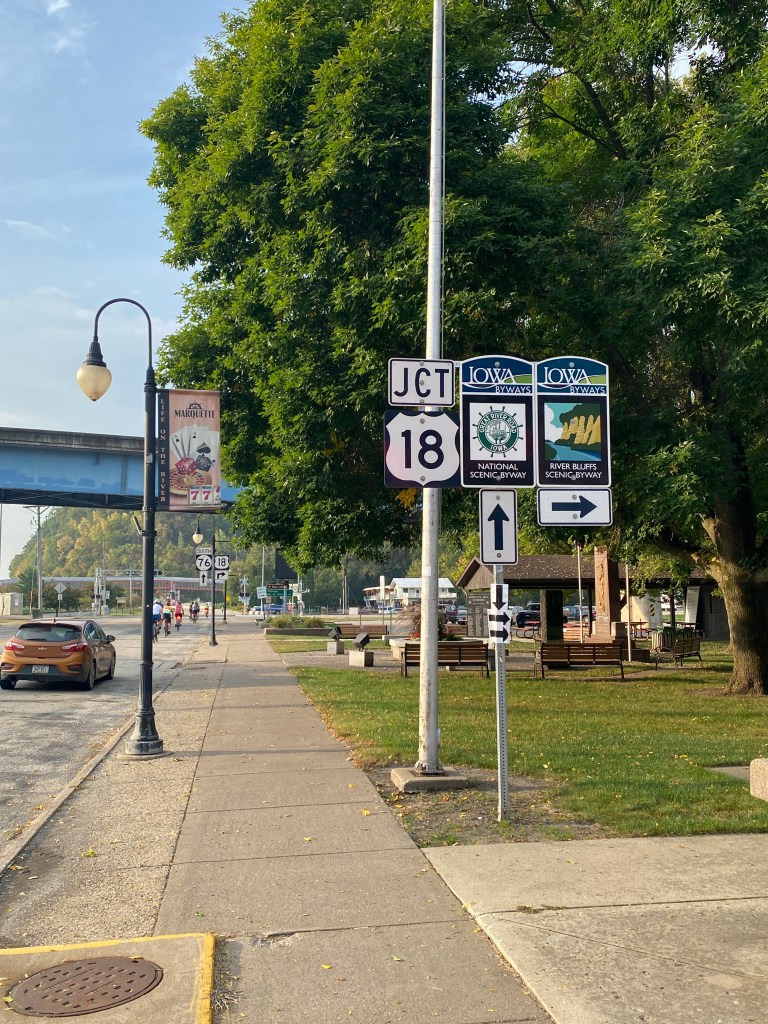
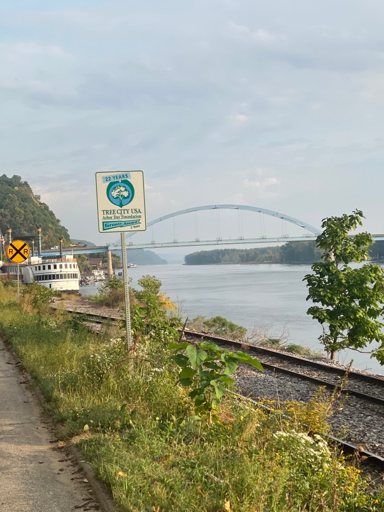
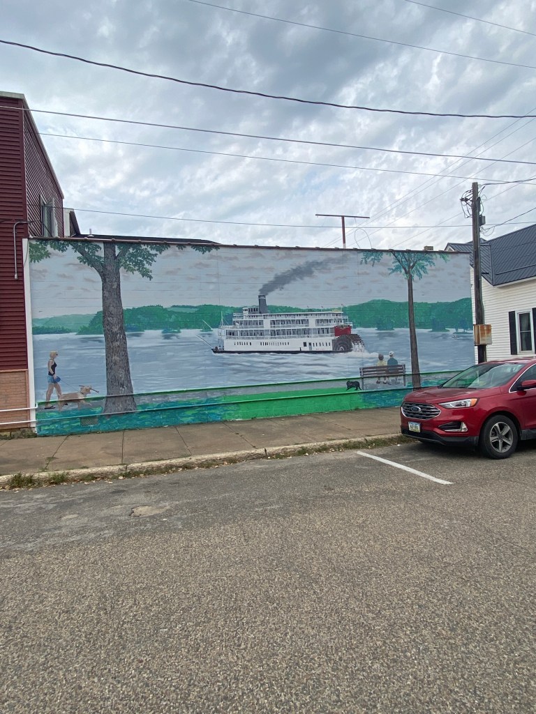
MS River Day 10: Prairie du Chien – Dubuque, IA
Awake at 0600 but only push-ups this morning; sparing the legs as today is the biggest climbing day so far. RWGPS shows 8 climbs: 2 more than 2 miles; 4 between 1 and 2, and; 2 less than a mile with 7 averaging between 4.5 – 5.6% with the final climb at 3%. Garmin Connect add 3 additional short climbs (.32 – .50 miles) in the last 20 miles. Interesting and head scratching differences between the two GPS apps. All the routes for the Epic Mississippi River Ride were created with RWGPS but importing the files into Garmin Connect produces a different, usually lower, elevation. For example, today’s ride reflects 3964’ in RWGPS but Garmin Connect elevation is 3555.’ Normally, my Garmin 1040 GPS will display a number greater than both mapping files. Will also need to evaluate the accuracy of my heart rate monitor, a cheap Chinese brand, Coospo, as it often differs dramatically from my Garmin Instinct watch. One of them is wildly inaccurate at times. The River District Hotel breakfast was superb – most items were freshly made and made-to-order omelets were also an option.
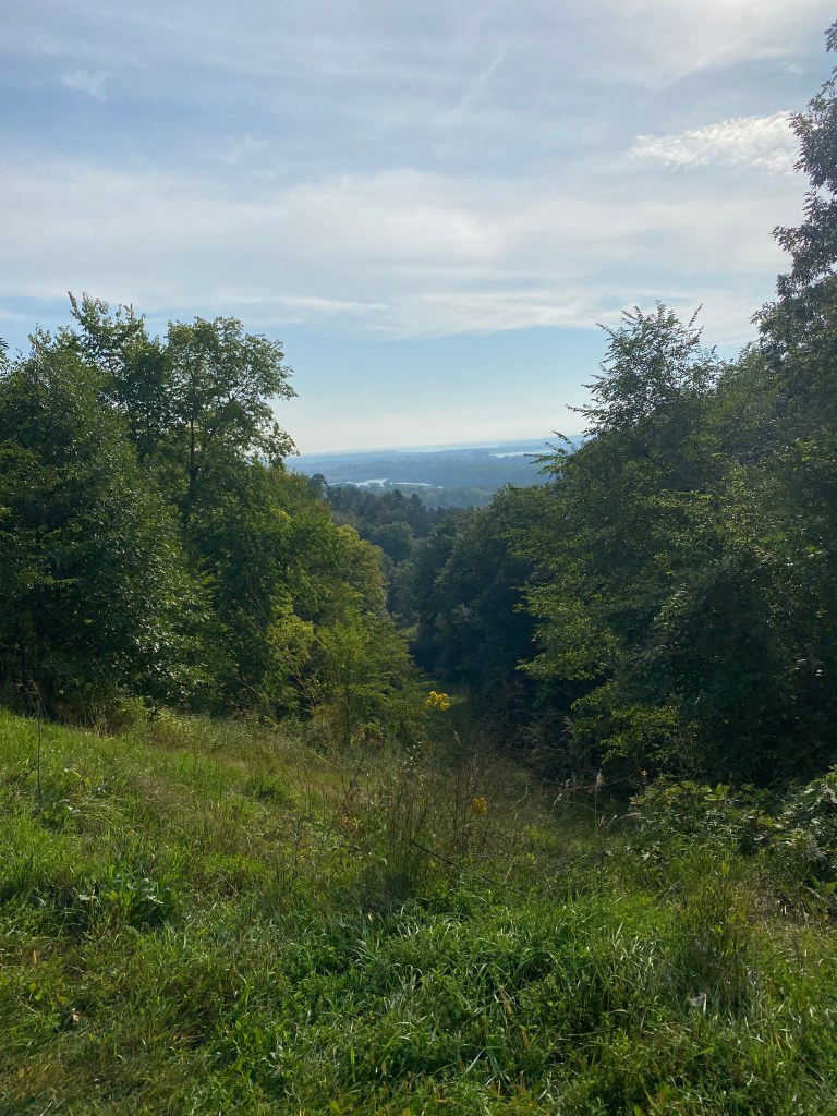
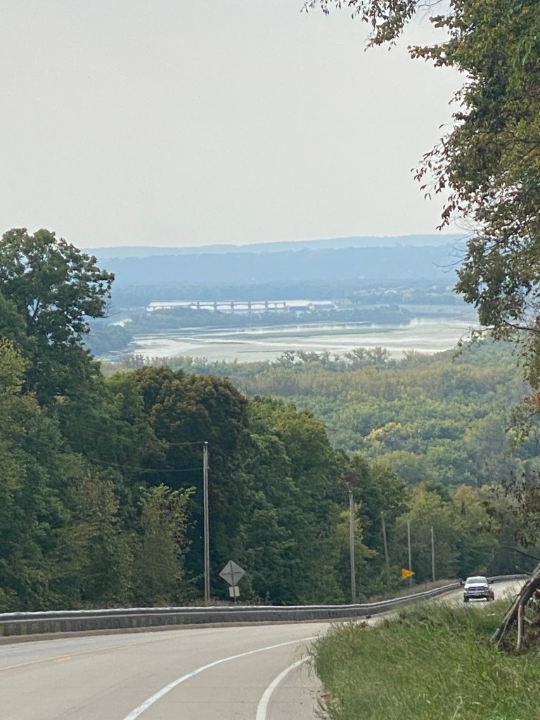
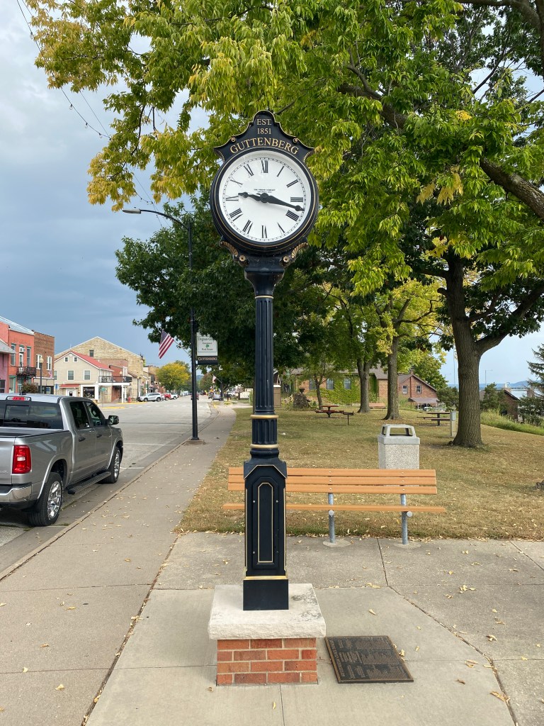
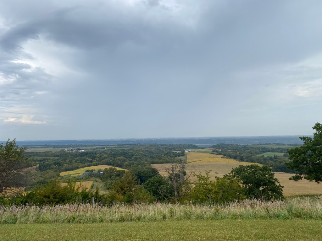
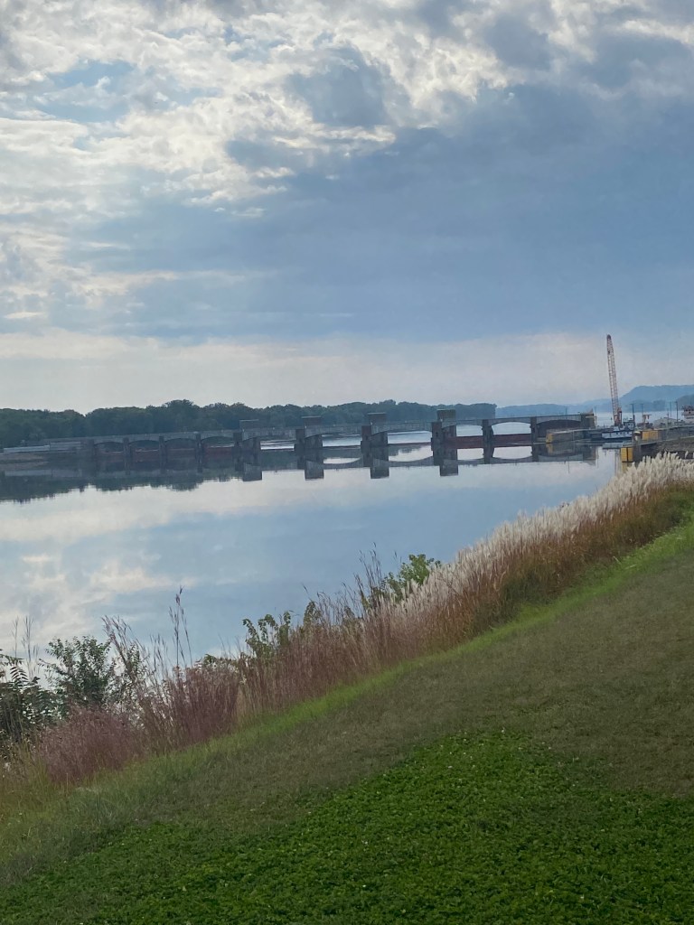
Left the parking lot at 0800 and crossed over the Mississippi (only crossing for the day) into Marquette, IA (third state), 1.5 miles from the hotel. The first 2-mile climb came about 5 miles in and was a gentle warmup at generally 4-6% gradients. The entrance to Pikes Peak State Park (didn’t know IA had one) was at the top of the climb but didn’t detour the mile to the actual park. Rain was falling off to the west, but the local forecast remained clear. The second climb came after a nice descent with a maximum speed exceeding 45 mph about 4 miles later. This climb was a little shorter than the first one but had several longish stretches of 9-10% but flattened out towards the top that reduced the average grade of the climb. Average grade often mischaracterizes the steepness of a climb and should be viewed skeptically unless previously ridden. Reached a maximum speed of 46.7 on the second decent. That was exhilarating! Lock and Dam No. 9 is in Guttenberg and has nice, level terrain on both sides that provide good views for photos. The menacing clouds that were off to the west came closer and seem to be chasing. Had to pause for a traffic signal before crossing the under-construction bridge over the Turkey River. The single, open cement lane was saturated from the wet saws being used on the other side. Temperatures were cool the entire morning but began dropping just before reaching the second water stop. Didn’t stay long and hoped the incoming front stayed off to the west. No such luck. Rain wasn’t forecast for either the start or finish city but never looked at the map closely to identify the in-between cities and check their forecast. Caught by the rain a few minutes after leaving the second water stop. Rained hard up and over a climb. Being pelted by large raindrops at speeds over 30 mph is less than enjoyable. Stopped under the overhead cover at a 2-pump Sinclair gas station before the next climb to wait out the downpour. Subsequently joined by Newps, Broker, and Picky. The rain slackened to a sprinkle after 10 minutes, and we all started the first of three climbs within a 4-mile stretch. We were all soaked and a little more water wasn’t going to make a difference. Will have to put the rain jacket in the handlebar bag one of these days so it actually gets used instead of packed in the Pedal Co. bag staying dry. The rain stopped completely after 40 minutes but managed to dork up data fields on the Garmin and quit the route navigation. It also confused the altimeter because it displayed a negative grade when visual cues, power data, and RPE clearly indicated a climb was in progress. Later, Newps commented his GPS gave similar erroneous data on a climb. Stopped at the overlook used for the lunch location. Never caught Pilot and Stoker and surmised they continued straight to the hotel (would’ve been my plan, too) Waited a bit for others and the van to arrive before taking off for the final 20 miles. The pavement was dry 10 minutes beyond the stop. Took a bit longer for me. Surprising views from the heights looking out across the countryside. Yes, it’s Iowa cornfields but it still elicits a soothing feeling. The water spirits weren’t done making their presence known after the brief downpour. They obviously felt the atmosphere needed more moisture and noticeably increased the humidity. A few miles of trails coming into Dubuque, the oldest city in Iowa, then streets through downtown to the Holiday Inn. No extra out and back mileage today. Neither the route profile nor weather conditions were conducive to that maneuver. Arrived before the van so looked up the address and headed to the local bike shop. It was a Trek store and like most, they tend not to carry local kits. Will have more opportunities for an IA-bike shop themed kit.
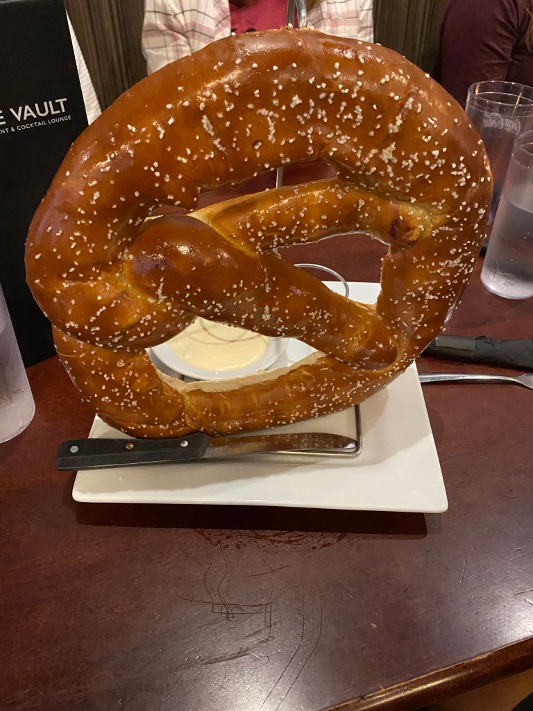
Went for a 2.6-mile walk before getting ready for dinner at The Vault. Ordered a pretzel appetizer to share (it was huge!), side salad, chili (with roast beef instead of ground beef) Bourbon glazed salmon, and blueberry cheesecake. A solid B grade but still haven’t had a great piece of salmon yet.
RWGPS data: 63.9 miles, 3964’ elevation
Actual ride: 65.31 miles, 4085’ elevation, moving time 4:17, total time 5:55


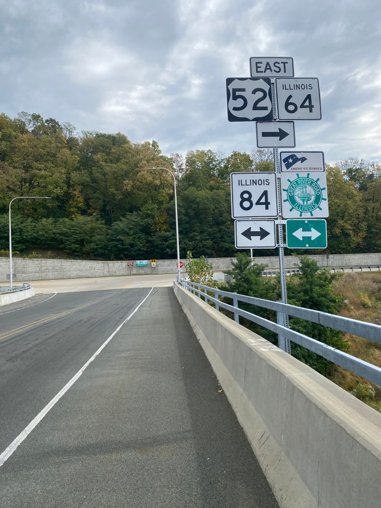
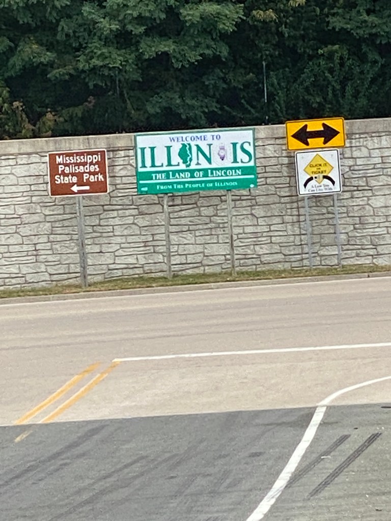
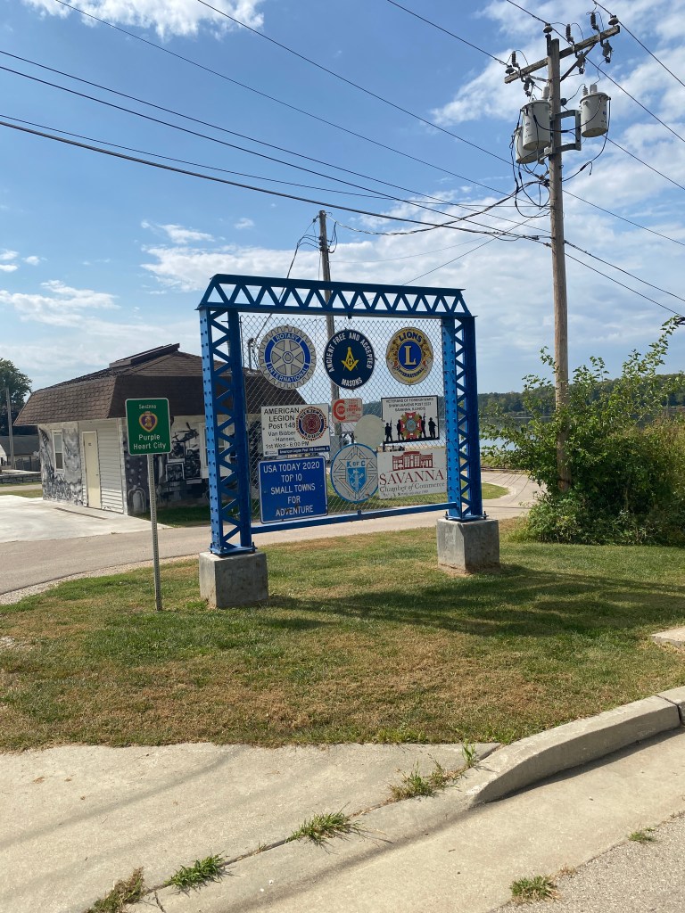
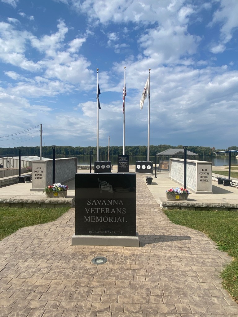
MS River Day 11: Dubuque, IL – Fulton, IA
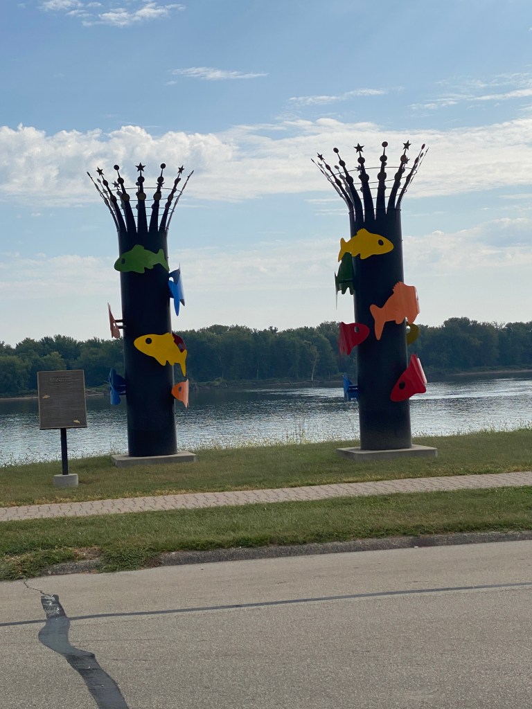
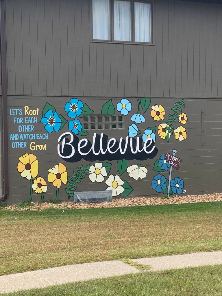
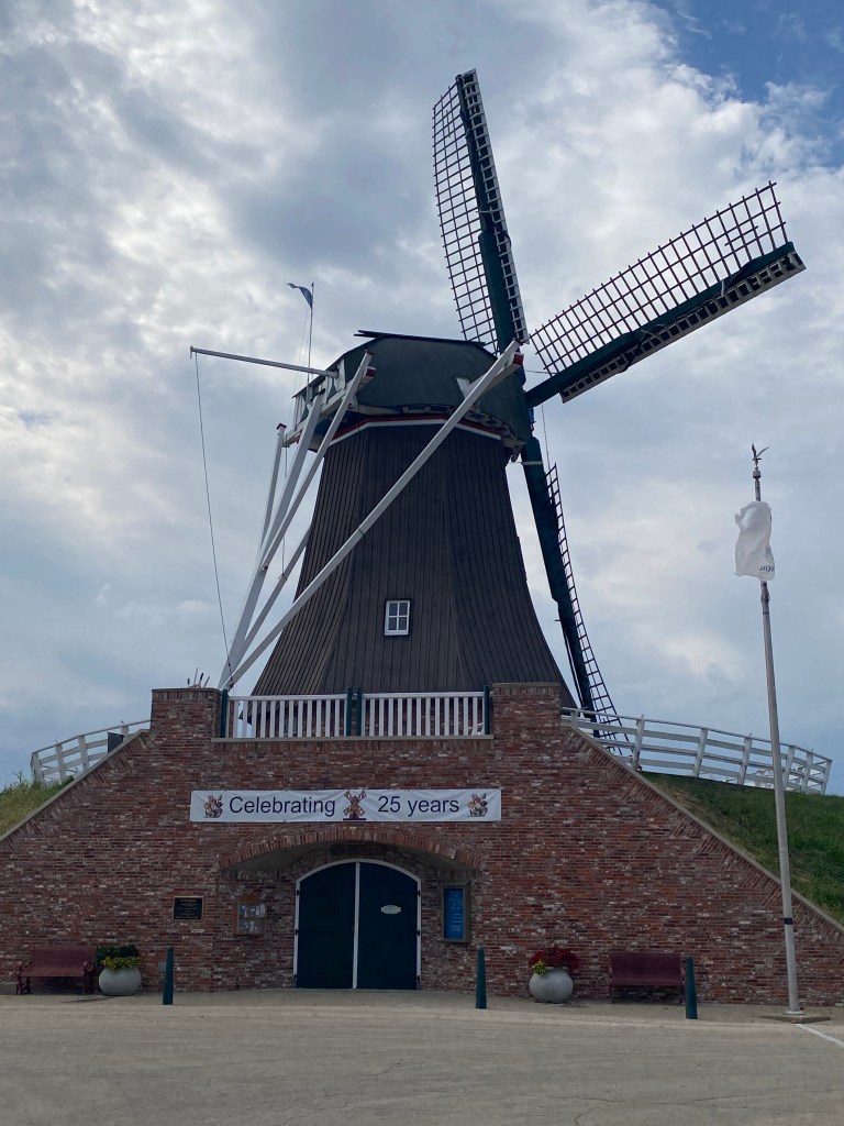
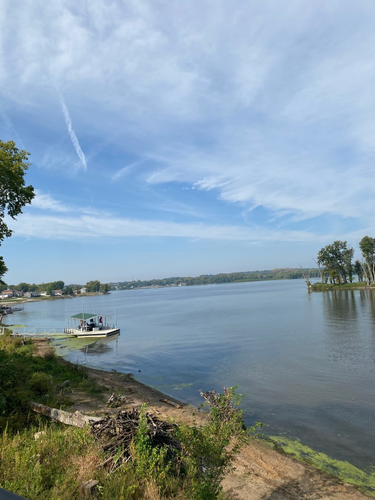
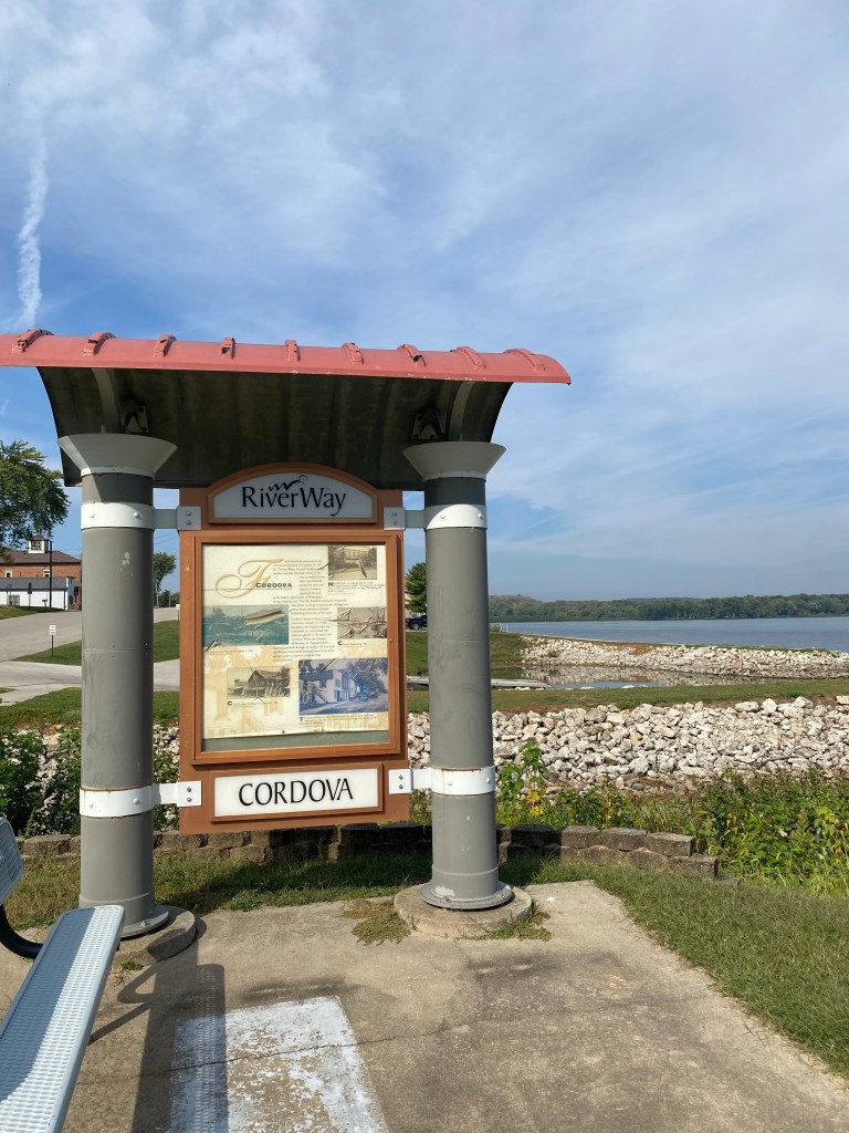
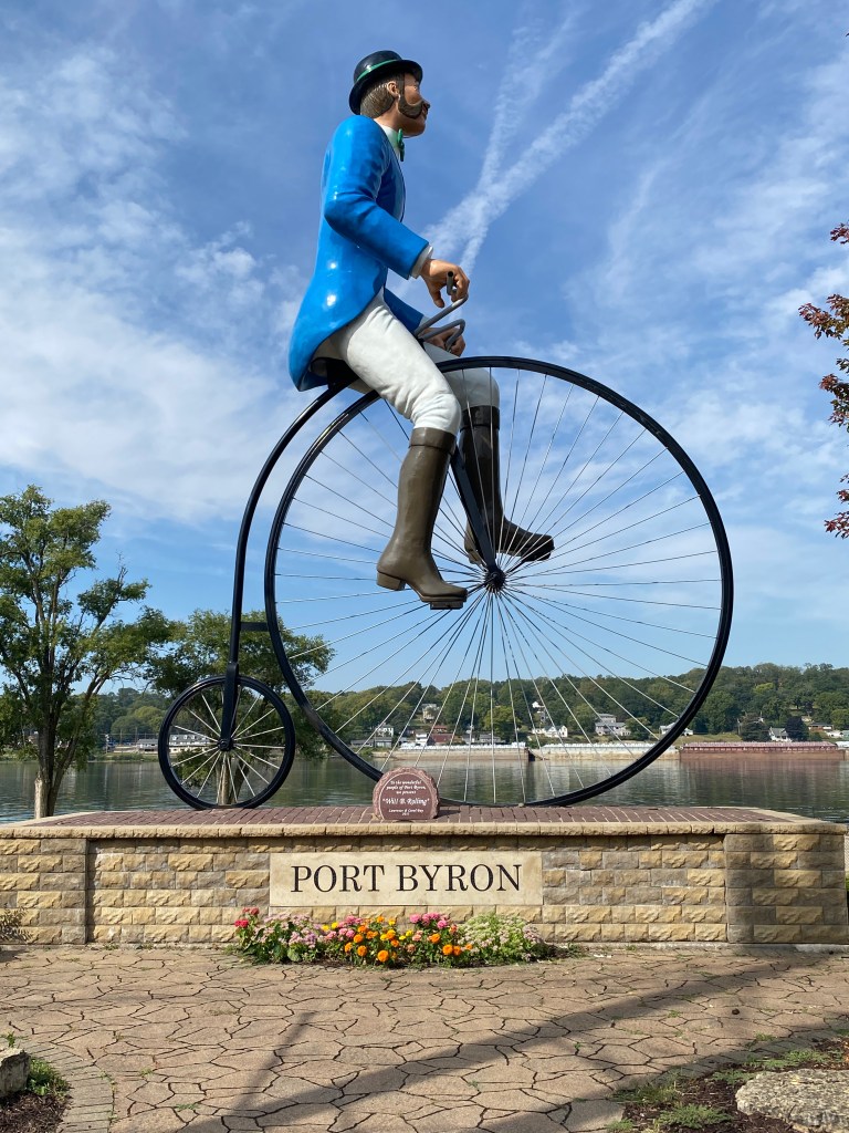
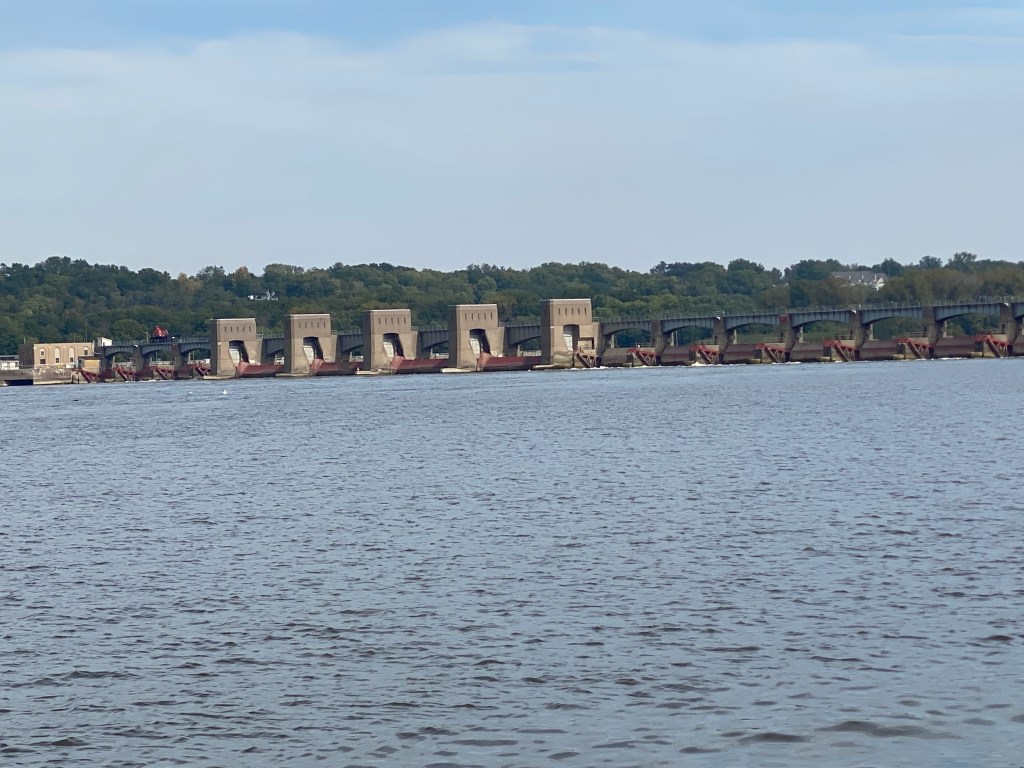
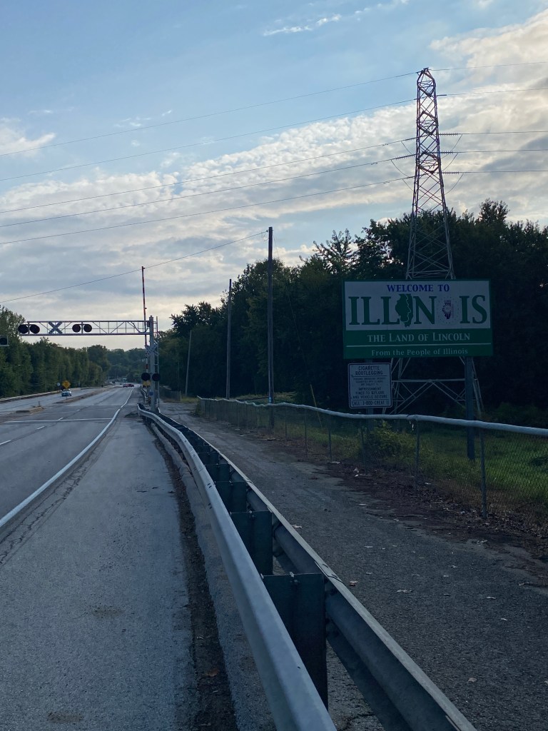
Awake before 0600 alarm for lunges/ squats, without the jump variety, push-ups and core exercises. Standard breakfast buffet. Not great, not terrible. Repacked and bags delivered to the van before 0800 and ready to ride by 0815. No rain in the forecast, although have two days’ experience highlighting the usefulness of those, and temps will rise into the mid 80s early afternoon. Before rolling out of the parking lot along the same route as the start of yesterday’s walk, Stoltz Trail, Captain mentioned the nice climbs at the 10- and 20-mile mark but neglected to say anything about the wake-up and shut-up legs climb within the first mile and a half. Although under a mile long and average grade of 4%, nearly half of it was 9-11%. Warmed up completely after that climb. Like many other trails comprising a significant portion of the MS River route, the Stoltz Trail consists of paved trails, bike lanes, and regular roads. The Trail runs through the Mines of Spain Recreation Area. Curious about the name and connection with Spain, learned the name came from a land purchase agreement from Spain for Julian Dubuque to mine the lead deposits. It’s now a 1500-acre recreation center with 18 miles of trails for hiking and cross-country skiing (but not cycling). Lock and Dam No. 12 is in Bellevue and has excellent views on both up and down stream sides. Took pictures capturing the numerous examples of classic Americana along the main street through town. Another mobile traffic light was positioned to control traffic while the southbound lane was closed with heavy equipment digging out the embankment. Arrived at the first water stop before the van as GF was resolving Gambler’s mechanical, a rear tire that wouldn’t hold air. Only had to wait a couple of minutes before GF arrived to fill up the water bottle. There were two moderate climbs in quick succession within 4 miles of the second water stop. Felt a few light sprinkles at the top of the second climb but no other precipitation followed. The descents weren’t nearly as long or steep as yesterday’s and only reached speeds of 35 mph. All 8 Garmin categorized climbs were in the first 40 miles of the ride. Crossed the MS 3 times (2 of them as part of a 10.5-mile out and back addition just before the lunch stop) into Savanna, IL (the fourth state and the Land of Lincoln). Had a banana, nuts, slice of turkey and cheese roll-up for lunch and full water bottles with ice before departing for the final 20 miles. The route after lunch was one of the best segments on the tour so far. A combination of the Great River Trail (GRT) and very low-density secondary routes. The shaded sections were cool and comfortable while each of the 84° was felt on the fully exposed, sunny segments. The last section of GRT had four different surfaces: pitted, gravel-like asphalt; doubly wide fresh, black pitch and seal; fresh, smooth pavement, and; decent pavement. Drafted behind Pilot and Stoker who went full-throttle on the E-tandem on the fresh pavement. The final 3 miles were on Fulton city streets that looped out to go by a full-sized, functional Dutch windmill, De Immigrant, which honors and celebrates the city’s Dutch heritage. The windmill was built in the Netherlands and shipped to the site and brought into service on May 5, 2001.Stone-ground buckwheat, corn, rye, and wheat flours are all manufactured on site and are for sale in the gift shop. Finished the ride at AmericInn by Wyndham.
Recorded a walk of 2.25 miles but probably covered at least three miles but dum dum repeatedly failed to press resume after a pause to take photos. The businesses in Fulton must be hurting as the closest bridge connecting to Clinton, IA is closed for construction as well as several streets downtown although businesses are still open. Can’t image they’re seeing many customers.
Drove to Clinton, IA (using the other bridge a couple of miles away) for dinner at the Starlight Inn. Guess it’s time to stop ordering salmon at midwestern restaurants. Don’t care what adjectives are used in the menus, they’re just not very good at preparing salmon. A combination of lower quality salmon (certainly not king), not properly seasoned, and usually overcooked. Don’t recall ever being asked how I want the salmon cooked. Medium wasn’t the right answer. Also had a sample platter to share (everything fried: onion rings, cauliflower, mushrooms, pickles, and cheese curds) side salad, wild rice (clumpy) and roasted asparagus. Too stuffed for dessert.
RWGPS data: 71.45 miles, 3047’ elevation
Actual ride: 82.95 miles, 3661’ elevation, moving time 5:02, total time 6:25


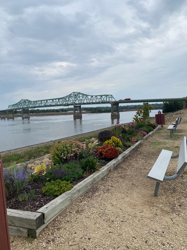


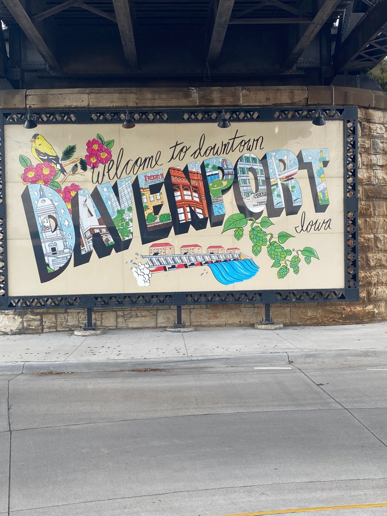
MS River Day 12: Fulton, IL – Davenport, IA
0645 wake-up in the very large room at Holiday Inn. Instead of two beds, there was a bed and a couch. Just seemed like a piece of furniture was missing. It did have a microwave, but it didn’t function properly – didn’t heat up the contents. Another night of no heated rice bags to help keep the Meibomian Gland Dysfunction (MGD – no, not the beer) under control. Only a couple rounds of pushups. The plan is to visit the hotel fitness center in Davenport after the ride. It’s a short day, only 41 miles, and should arrive early in the afternoon even with a 0900 start time. Another nice start on deserted secondary roads and the Great River Trail (GRT) for the first 5 miles. Cycled past Cattail Slough (slew; just like the name), an Army Corps of Engineers managed recreation area south of the city. Made a quick stop to readjust the handlebar bag as one side was hanging lower than the other but discovered the Velcro loop still encircled the top of the handlebar, but it was no longer connected to the bag. Wrapped a couple of small bungee straps around the bars and bag to take weight off the other strap. Knew there was a Trek Bike shop in Davenport and would be headed there later for a replacement bag. Turned onto a much busier road with no shoulder entering Albany. The purple route line on the Garmin was off to the right but only saw a dirt path that disappeared at times. Don’t believe that was the intended route. Returned to GRT section paralleling the road until it veered off to the right near the Constellation Energy plant approaching Cordova. Attempted to take a picture of the Cordova water tower but intense sun glare from the two different positions weren’t very successful. Wasn’t fully attentive of my surroundings when waving to a local police car passing from the opposite direction and was startled when hit by a stream of water from a lawn sprinkler. Arrived at the first water stop around the next bend at mile 17. Didn’t dawdle as the next stretch was the only opportunity to ride additional miles before lunch. The GRT was recently paved from the outskirts of Cordova to the village of Port Byron, about 5 miles. The smoothness of freshly paved asphalt is amazing but also spoils when inevitably, the surface returns to a less pristine condition. Took several photos in Port Byron, known for its annual Tug Fest against teams from LeClaire, IA, to include Will B. Rolling, a 30-ft statue of a man on a penny-farthing bicycle. Stopped for photos of Lock and Dam No. 14 in Hampton. The GRT was on top of a levee for 2.5 miles providing an unobstructed view of the Mississippi approaching Moline and our lunch spot. The GRT is called the RiverWay in the Quad Cities (Davenport, Bettendorf, IA and Rock Island, Moline, and East Moline, IL) and has nearly 100 miles of paved trails, access to the river, parks, and overlooks near the confluence of the Mississippi and Rock Island Rivers. Only seven miles remained after lunch and required the only crossing of the Mississippi into Devenport, IA. It was the same bridge and trail that was part of the Randonneuring Permanent route completed in July 2024 on the way to the RAGBRAI start town. Make that 0-3 now for kits from bike shops in states along the route. Still have a couple more chances in IA but not optimistic. Lock and Dam No. 15 was on the waterfront near downtown Davenport a ¼ mile from our DoubleTree Hotel. Googled the address of the Trek store and set off to purchase a bag. Retraced the route along the river for a couple of miles before turning west. They only had one model and at least 2, possibly 3 of my broken strap bags would fit in it. Needed something and ordering and shipping from Amazon wasn’t a viable option. The staff were very friendly and helpful. Asked numerous questions about the ride because of the day’s kit, COLA Epic Mississippi River Tour, as a farewell to Picky’s last day on the tour (she plans to return next year to complete the route). Brought Synful inside to remove the old bag, attach the new one, transfer the contents from the old to the new, and throw the old one away. Mike said he would look up the ride – might be a future guest on a COLA trip. Asked for return route directions as Apple Maps was a little circuitous on the way to the store. The return was a bit shorter and quicker.
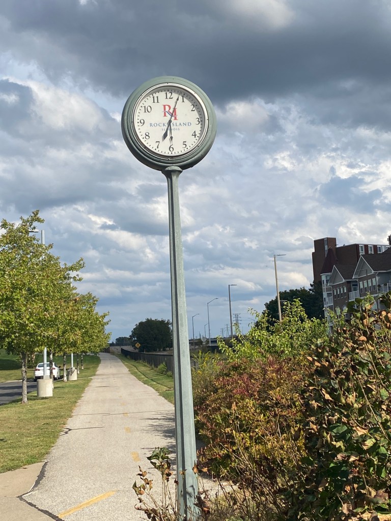
Returned to the hotel, checked in, carried bags and rolled bike to the room. Learned the hotel doesn’t have guest laundry facilities – disappointing. Changed and went to the fitness center for pullups (not quite fully extended arms starting position), 3 sets of dumbbell chest presses and 10 x 20” box jumps. Will see the price to pay tomorrow. Went for a 5K walk afterwards. Since previously walked on the IA-side trails last July, crossed the river (2 more crossings for round-trip) into Rock Island, IL. It’s been nearly 30 years since last time in Rock Island. The bridge provided an excellent view of the L&D and offered the first close-up view of the two lock channels. Pretty cool. Rock Island river front has a slightly different model of standing clock from the ones in Fulton and Guttenberg. Completed Strava’s September Walk 50K Challenge.
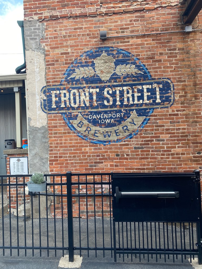
Returned to shower and discovered a couple more issues: the inside sliding glass shower door was slightly off track and wouldn’t stay closed (a wet washcloth placed in front of the door kept it from sliding open) and the dispensers on the back wall of the shower were 2 shower gels and a conditioner but no shampoo. How does that happen? Also, the thermostat doesn’t seem to be connected to the cooling unit. It’s set to 70° but the cooling unit runs continuously, and the room was frigid upon returning after dinner. Walked to Front Street Pub & Eatery. Salmon was on the menu but not this time. Ordered the Cajun Alfredo with garlic toast, a side Ceasar and cup of soap. Gambler ordered a couple pretzels (more normal sized) as an appetizer for our end of the table. Recognize a table of 14 creates challenges for cooks and wait staff but no reason for entrees being served prior to salads and soup with the appetizers (pretzels and nachos for the other end of the table) arriving last. For dessert, Seven stopped into the Chocolate Manor across from the hotel and bought two small bags of chocolate covered potato chips. The Alfredo and soup were quite good, the salad a little lame. The chocolate on the chips was excellent.
RWGPS data: 41.4 miles, 628’ elevation
Actual ride: 55.14 miles, 1309’ elevation, moving time 3:38, total time 5:10


MS River Day 13: Davenport – Burlington, IA
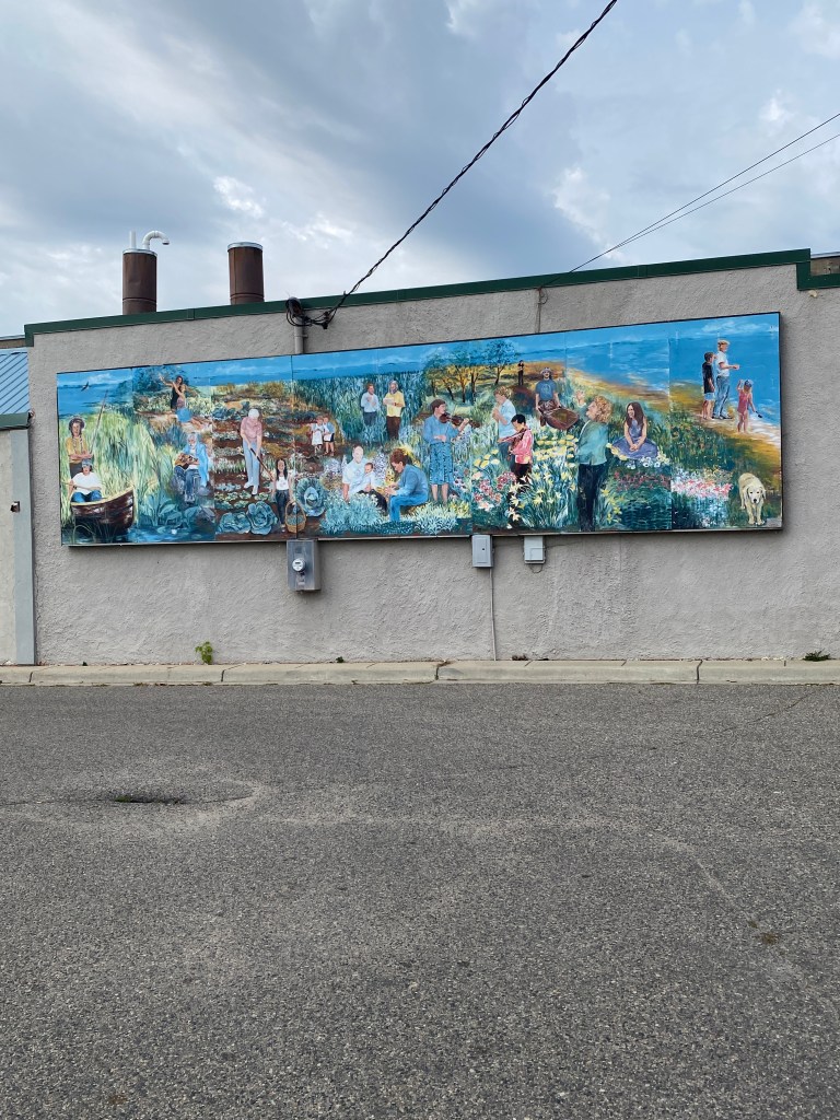
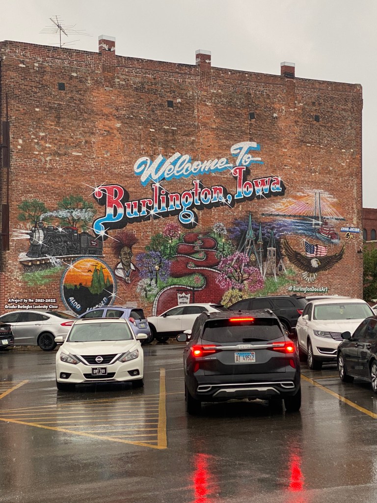
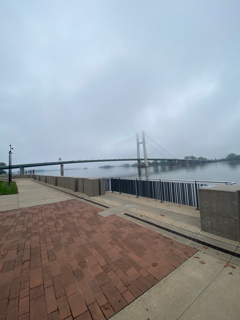
Worst night sleep of the tour. Unexpected (are they ever expected?) bout of reflux around 0130 but able to go back to sleep relatively quickly. The primary disrupter was the series of horn blowing trains practically across the street that started at 0445 and repeated every 20 minutes. Out of bed shortly after 0600 for a single set of 25 each squats, lunges (right and left leg lead), and pushups. Breakfast, open at 0700 and not a minute before, was similar to Embassy Suites. Fresh buffet items and made-to-order omelet options. Better than most standard hotel breakfasts in terms of selection and flavor. Repacked and dropped bags at the van before 0800 and ready to roll by 0815. Began under cool and overcast conditions with sporadic light sprinkles along the Riverfront Trail and quiet secondary roads for the first 8.5 miles. Turned left onto Hwy 22 and for the first time, paralleled the Mississippi as it flowed westward for the next 11 miles. A more consistent sprinkle fell after the first water stop, but not hard enough for a rain jacket, at the Army Corps of Engineer managed Shady Creek Recreation Area. Turned south onto the Muscatine Trail System and through the town. Encountered another set of Road Closed barricades on X61 South less than 2 miles from the second water stop. Observed vehicles passing the barricade in each direction while messaging the guides on the current situation. Group decision with Pilot, Stoker, Gambler, Seven, and Broker to proceed past the signs. The roadway was completely removed leaving only gravel just beyond the designated water stop. Ventured down the gravel road, which was very rocky for 20 meters then compact, smooth gravel for most of the next ½ mile. The end of road was completely blocked by road construction equipment. The bikes could manage the road, walk around the equipment, and return to the paved road but the van would have to detour around the construction. Conveyed that information via WhatsApp and also road back to talk directly with GF and Captain. Only able to complete a 4.5-mile out and back for extra mileage before lunch in the parking lot of the Toolesboro Mounds Historic Site (mounds from the Hopewell Tradition of nearly 2000 years ago) and monument to the Littleton Brothers. The six siblings were all born in Louisa County, IA, served in the Union Army during the Civil War, and died as a result of their service. The sun briefly re-appeared, raising both the temperature and humidity after lunch but its presence was short-lived and sporadic, light sprinkles returned. Not a fan of the first 12 miles on Hwy 99. Too many sealed, bumpy, horizontal expansion cracks. Dreaded the idea that the entire 24-mile stretch would be like that. Didn’t even stop at the post-lunch water stop for a gas-n-go. Thankfully, newer pavement and sections of both vertical (longitudinal) and horizontal (transverse) grooved cement replaced the jarring unpleasantness. Wondered about the differences between the groove orientation. Grooved pavement came from NASA research in the 1960s to reduce hydroplaning on wet airport runways. There are more differences than similarities which explains why longitudinal grooves are today’s favored approach. Both methods improve drainage but longitudinal are quieter, provide better directional stability, and is cheaper to install but can negatively affect steering. Transverse grooving enhances braking friction (often still used at intersections or toll booths) and doesn’t affect steering but are noisier and more expensive to install. The precipitation transitioned to a steady sprinkle upon entering Burlington and West Burlington (initial destination for a kit). Success at last. Score 1 for Iowa. Purchased Bickel’s Cycling racing kit although it doesn’t include the town or state of the store. The newest addition to the cycling wardrobe easily fit into the oversized handlebar bag. The store wasn’t far from the Fairfield Hotel, but it was still a short, wet ride. Wiped down Synful and took everything up to the room. The single washer was already in use so showered, spoke with the Missus, and met the group going to The Drake for dinner instead of pizza delivered to the hotel. The restaurant is downtown on the waterfront not far from the tire-dipping ceremony on the final day of RAGBRAI 2024. Still have a picture of the mural on the brick building adjacent to the restaurant parking lot. Keeping with the pasta theme as that’s easier to prepare properly, had the Bayou Chicken and Shrimp (although expected it to be spicier), with side salad, cup of chili, and banana foster cheesecake. GF drove by the Snake Alley, built in 1894, a well-known tourist destination. Rode up the 275-foot road, average 21% grade, with a few others from NoVA after finishing the official route.
RWGPS data: 79.6 miles, 1763’ elevation
Actual ride: 89.42 miles, 2467’ elevation, moving time 5:09, total time 7:00


MS River Day 14: Burlington – Keokuk, IA
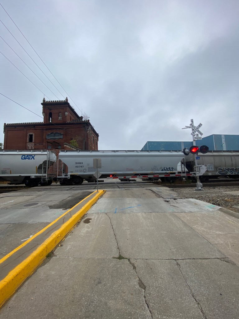
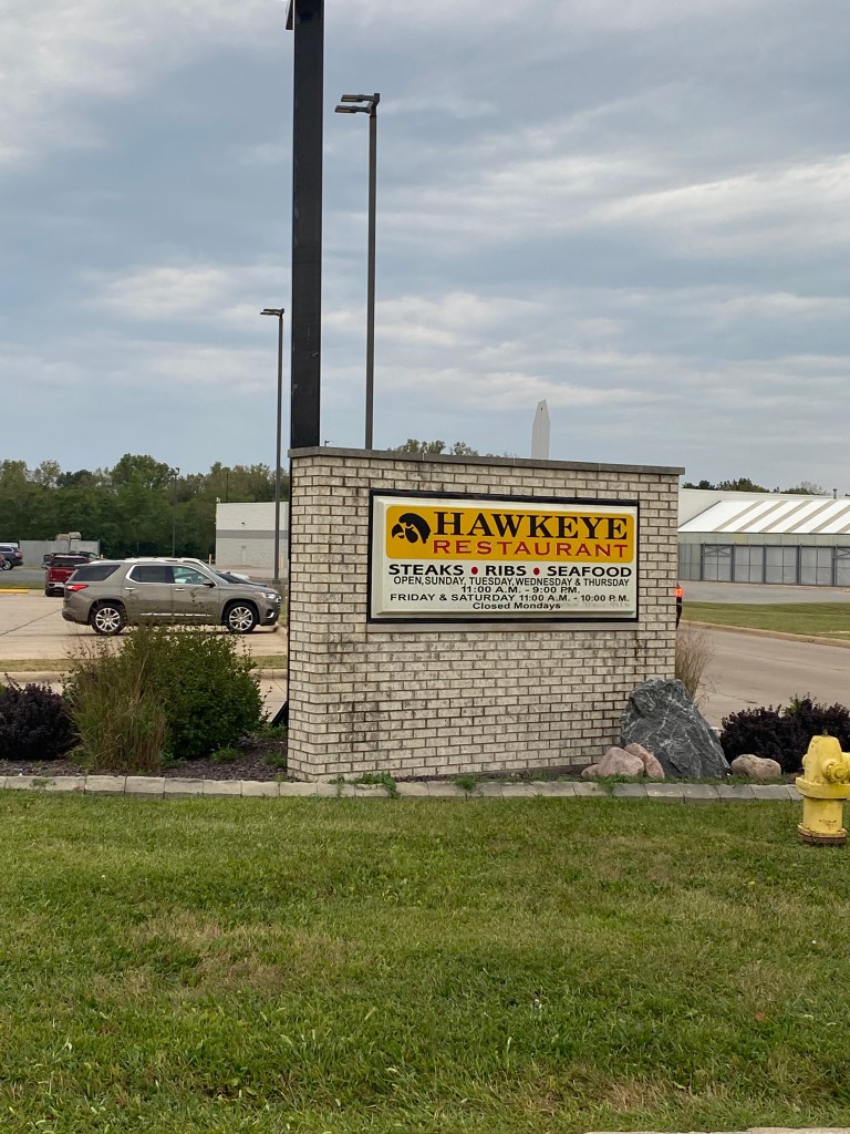
Awake at 0600 to fold laundry that hung dried overnight and repack Pedal Industries bag (love that bag) with all the clean kits. Kept out the recently purchased Bickel’s Cycling and Fitness race kit to wear on today’s ride. Stopped at the hotel fitness center for assisted pull-ups and dumbbell chest presses before breakfast which was a standard hotel buffet and no bananas. Had more morning free time as bags weren’t expected until 0900 and roll time was 0915. Only 49 miles on the docket today for the final stop in Iowa; Keokuk. Heavy early morning fog was supposed to burn off by the start time but didn’t. IT was still present two hours after leaving the hotel. Departure was delayed 30 minutes while Drummer’s rear tire was replaced due to a sidewall slice. Problems getting the tube properly situated inside the tire with initial efforts inducing quite the wobble when spun. Situation eventually resolved only to experience another 5-minute delay cycling through downtown for a train. Plan was to stop briefly at the two water stops (miles 17 and 35) to create a gap for a longer out and back segment for extra miles. Rolled into the first stop for a restroom (clean port a potty) visit then off again. Spent some more miles pedaling westward. Stopped for a photo of an intriguing logo and learned later it belonged to a sand company (complete with sand pit) that is no longer in business. Noticed the WhatsApp message that Gambler flatted and Pilot, Stoker, and later, Captain were on site to assist with the repair. Didn’t stop at second water stop because van was still behind. Rode through the village of Montrose along the banks of the Mississippi. Official route had 4 Garmin climbs between .33 – .60 mile. A short but steep one (most of it 7%) was in the 14-mile out and back zone so climbed that one 3 times. Captain alerted the group via WhatsApp that construction and detour prevented following the proscribed route but he provided an alternate. Caught up with Newps and verbally provided the update. The road condition leading into Keokuk was terrible. Mostly cement with partial asphalt filled potholes, unfilled holes, wide cracks, etc. Arrived at Hampton Inn at 1345. Cleaned up Synful after riding through a short, water-filled pothole, gravel section on the outskirts of Montrose. The day’s route was the least picturesque of the 13 riding days so far. Gloomy weather (foggy then cloudy) but great temperatures, didn’t pass through many towns, shoulder of a 4-lane divided highway, and not great views of the river (never fails to impress though). Overall, meh. Walked down the street for dinner at Hawkeye Restaurant. Still reluctant to order salmon due to high likelihood of disappointment, ordered a side house salad, steamed veggies, seafood Alfredo (made with marinara sauce instead), and the mile high peanut butter explosion cake. Thumbs up for the meal. Headed to the next state in line tomorrow, Missouri, and will give salmon another try somewhere along the line.
RWGPS data: 47.9 miles, 1585’ elevation
Actual ride: 62.40 miles, 2884’ elevation, moving time 3:40, total time 4:00


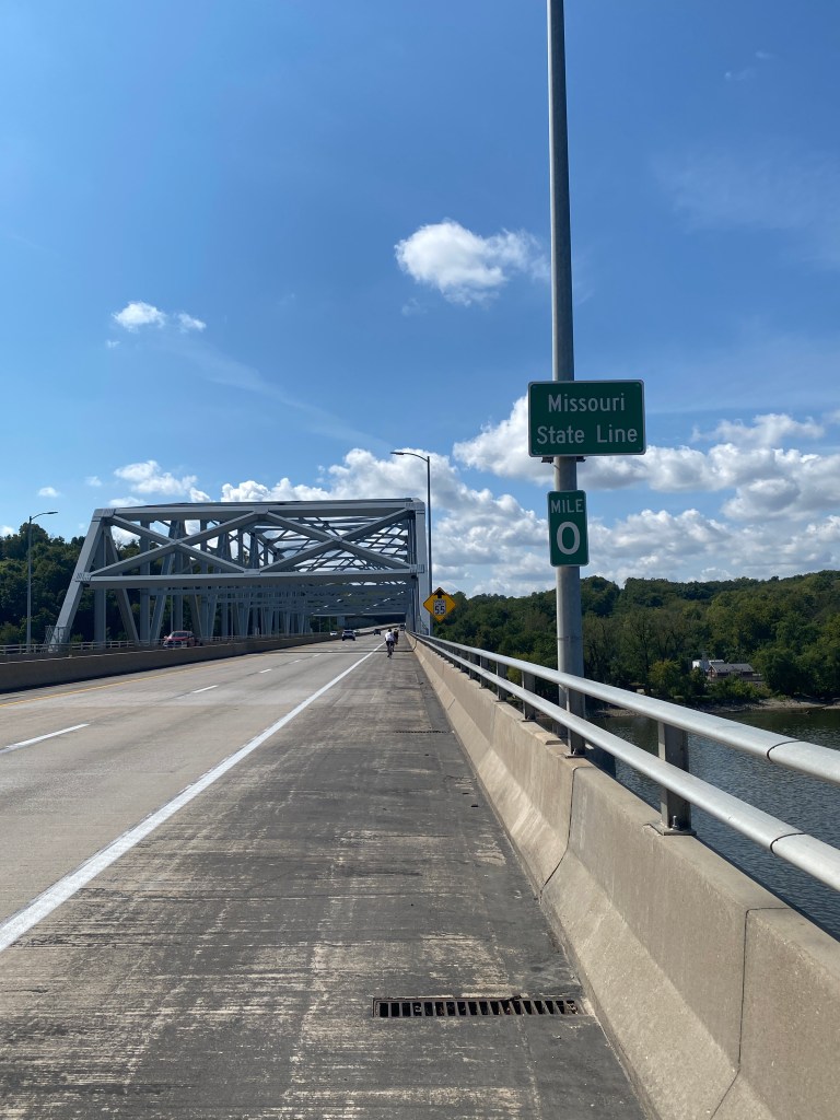
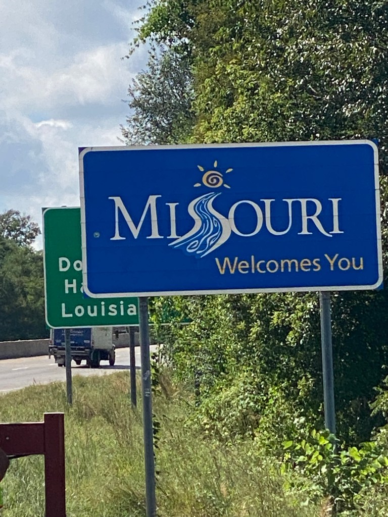
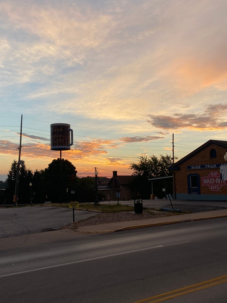
MS River Day 15: Keokuk, IA – Hannibal, MO
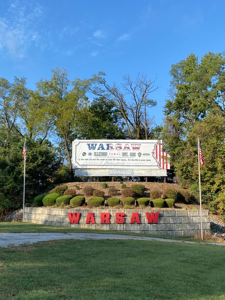
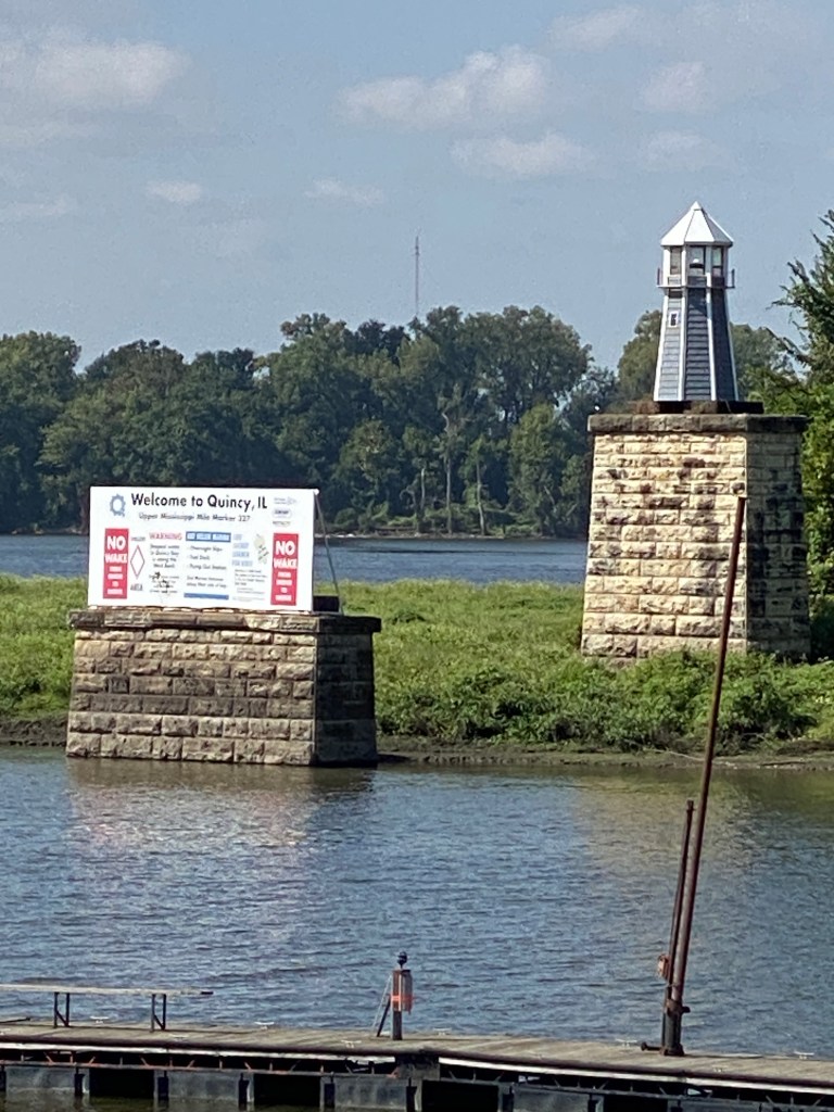
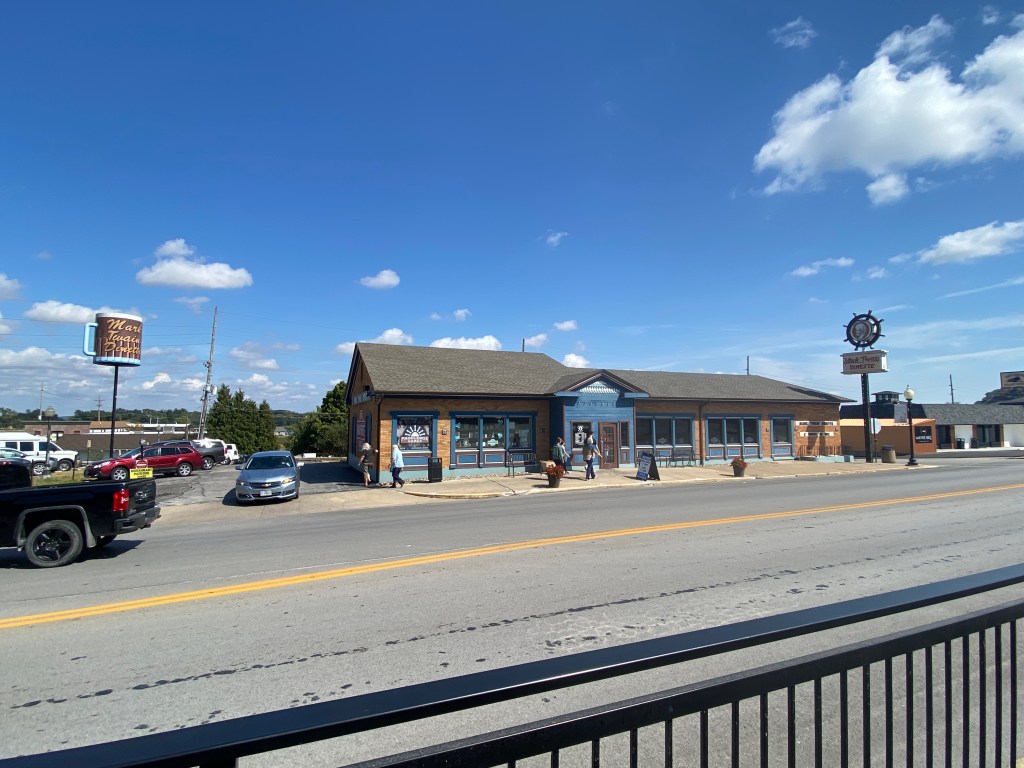
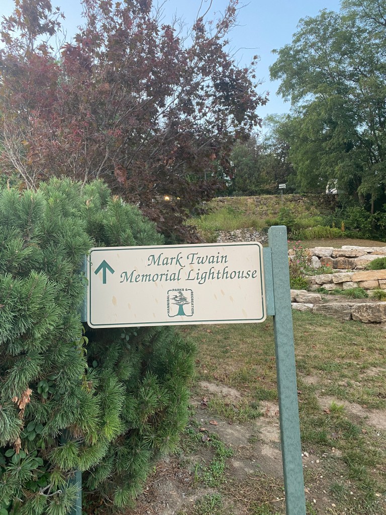
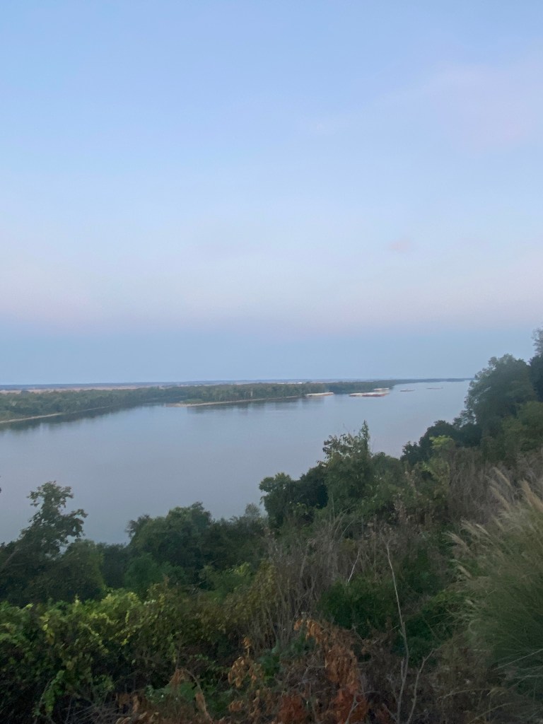
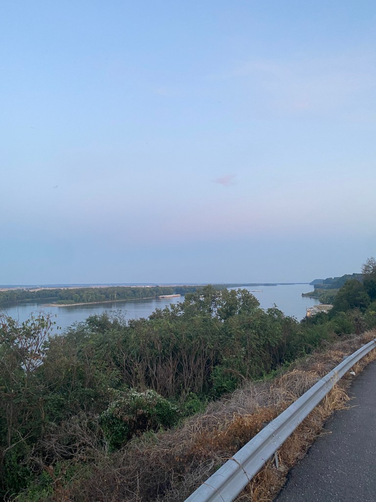
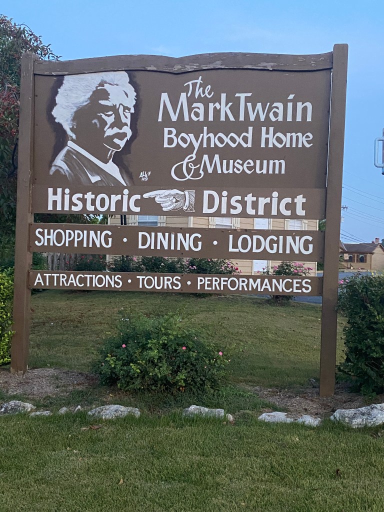
0600 wake-up the core and push-ups. Quads still squawking, especially in out of the saddle pedaling, so giving another off day. Not sure if it’s from the box jumps or squat/lunge routine; not that it really matters. Standard Hampton Inn breakfast: Raisin Bran with banana, bagel, cheese omelet, potatoes, muffin and juice. Bags repacked and dropped off at the van by 0815 and ready to ride by 0830. Assisted GF and Newps on location of SRAM shifter battery. A cool start to the morning with light arm sleeves. Numerous photo stops riding through Keokuk, a surprising MS River crossing (Lock & Dam No. 19 – the widest one yet), and through Warsaw, IL. Sleeves came off at the Warsaw overlook of the MS. Leaving Warsaw on a short steep descent followed by a left-hand bend then 20 miles on the Great River Road. Wind had been a nonissue the last several days. Wouldn’t classify it as returning with a vengeance, but it was definitely making its presence felt. Nothing available to block the wind as passing miles of farmland, corn (both standing and stubble) and soybean, within the “Corn Belt.” There’s something mesmerizing about seemingly riding through cornfields. Serene. It’s full-blown woolly caterpillar season but don’t recall the variety of colors (standard grizzley bear brown, brown and black, black, shades of grey, and pale brown, almost white). Don’t claim to be an entomologist to know if they’re all the larval stage of the Isabella tiger moth. Brief pauses at the first two water stops at mile 16 and 32 to enable extra miles before lunch. The ever-changing width of the Mississippi is astounding. A right turn after leaving the Quincy riverfront park district onto Hwy 57 for 9 miles had no or minimal shoulder and was a major truck route. Took a short 3-mile detour to see Lock and Dam No.21 before returning to Hwy 57. Only managed a 4-5-mile out and back before lunch and never saw the lead group after the L&D detour. Ate a deli meat and cheese roll-up, handful of nuts, and a chocolate milk for lunch then back on the bike for the final 12 miles. Mercifully turned off Hwy 57 onto quiet, secondary roads before turning onto Interstate 72 (I-72) westbound for the second MS River crossing into Hannibal, MO. Didn’t review the route beforehand to know it would be a 3-state day but did know MO was the 5th state. Half way through the states. The Best Western on the River is directly across from the Mark Twain Dinette. Arrived at 1345 with thoughts of showering, updating the blog, and then walking around the historic downtown. Successful at the first, partial with the second, and no opportunity for the third. The hotel wi-fi connection is terrible and had to upload each picture individually which still took 30 – 45 seconds a piece. Completed the painstaking effort with 10 minutes to spare before meeting up for dinner at Finn’s. Where else? Ordered fish but not salmon, basket of fried catfish, beer-battered French fries, a side salad, and toasted ravioli as an appetizer. Not the healthiest meal but it was pretty good. The catfish was excellent. Walked next door to Smooth as Ice for 2 scoops of brownie batter chunks. Then, with cup in hand, walked down towards the river, up to the Mark Twain Memorial Lighthouse, and back to the hotel. It was close to a mile walk but didn’t record all of it. Tremendous amount of history in such a small town. Such a smart man with amazing insight on people and social and political commentary that still rings true today.
RWGPS data: 60.5 miles, 1500’ elevation
Actual ride: 68.33 miles, 2064’ elevation, moving time 4:00, total time 5:11


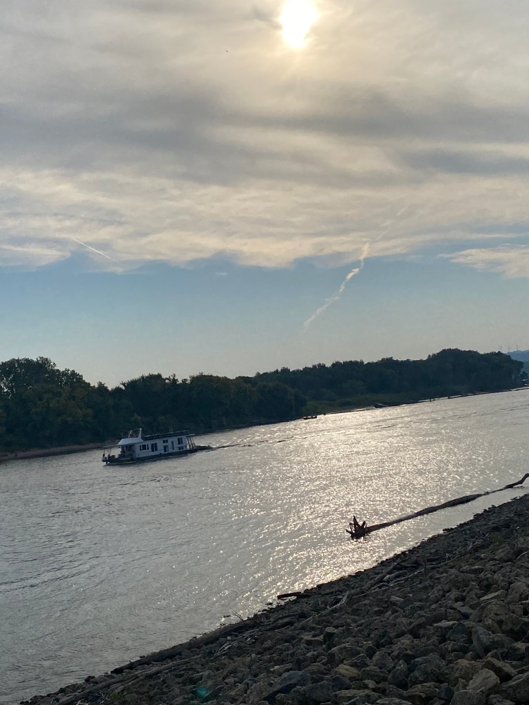
MS River Day 16: Hannibal – St Peters, MO
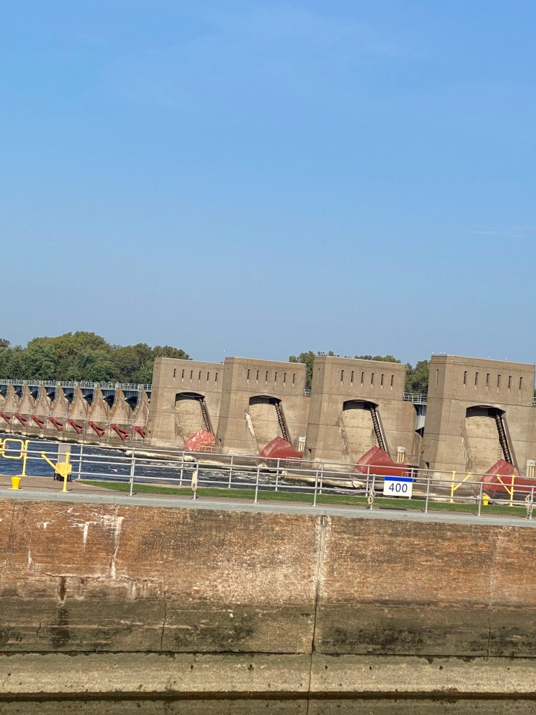
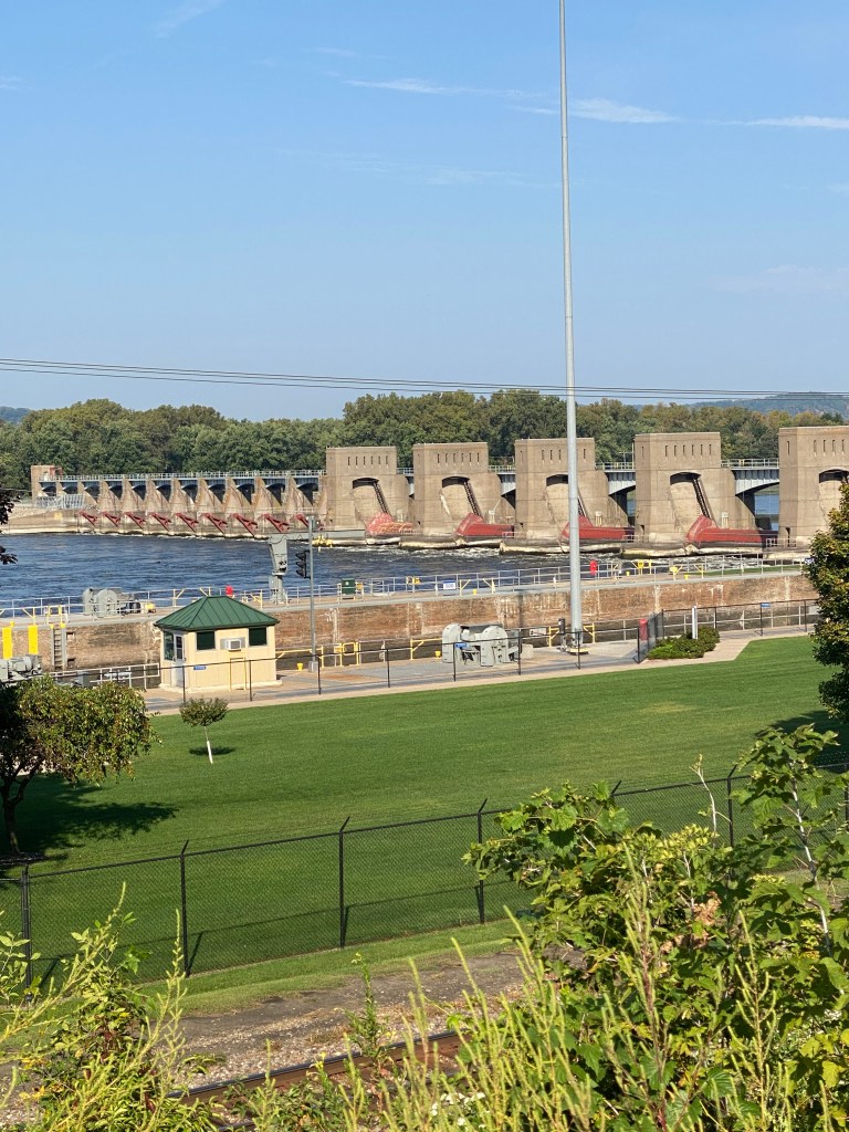
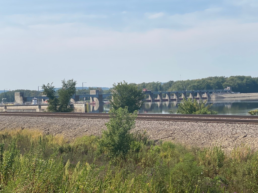
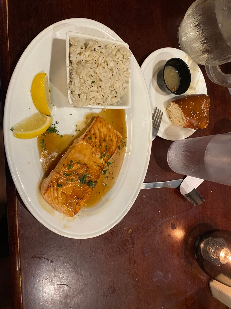
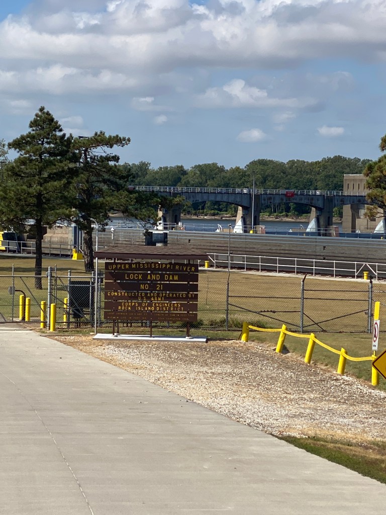
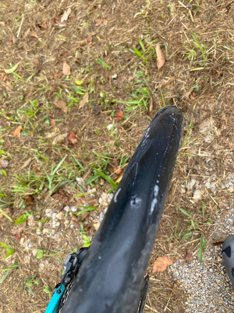
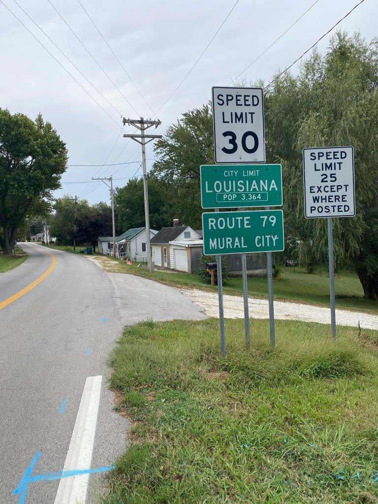
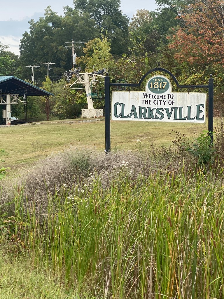
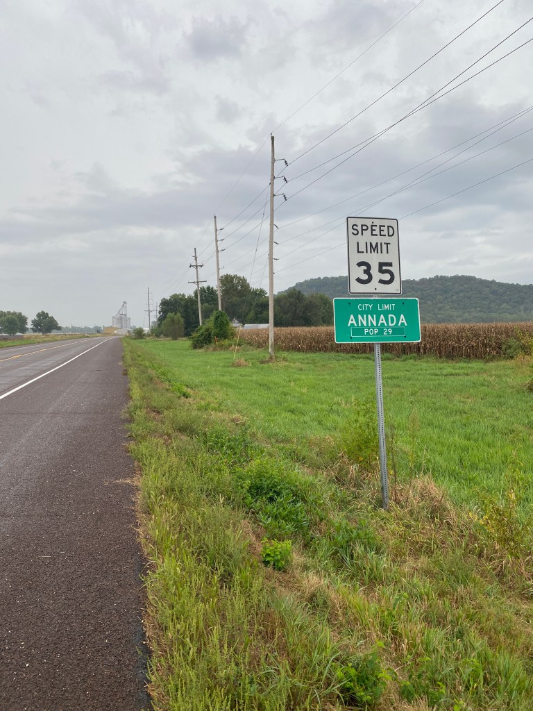
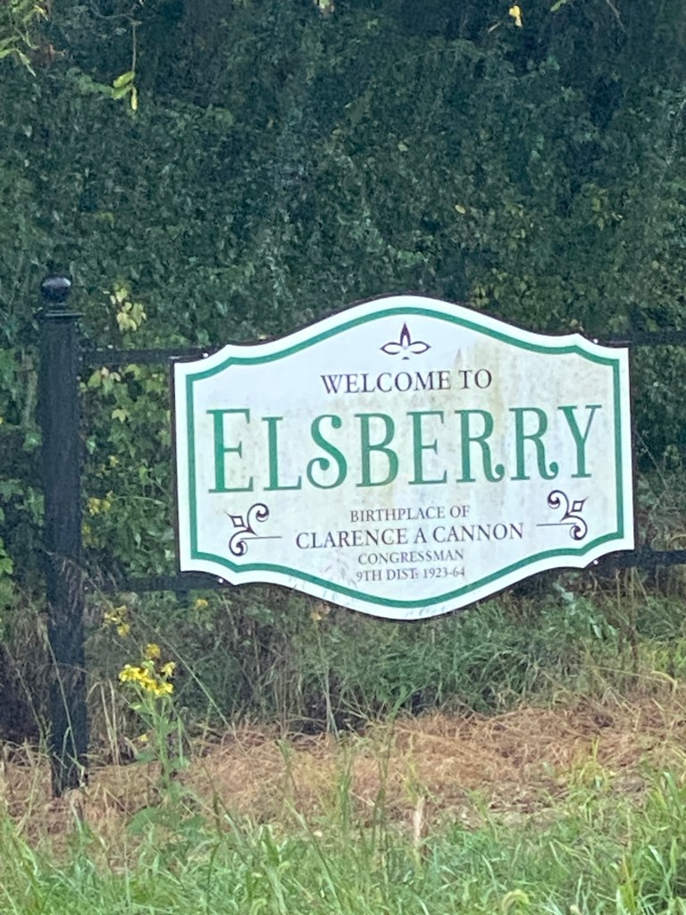
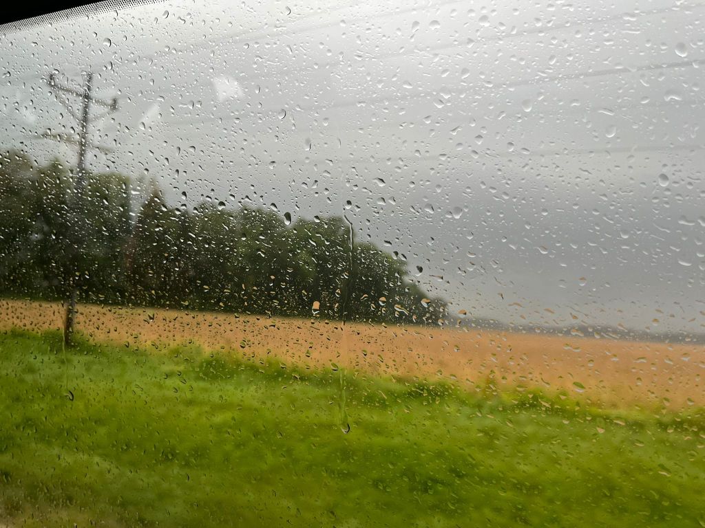
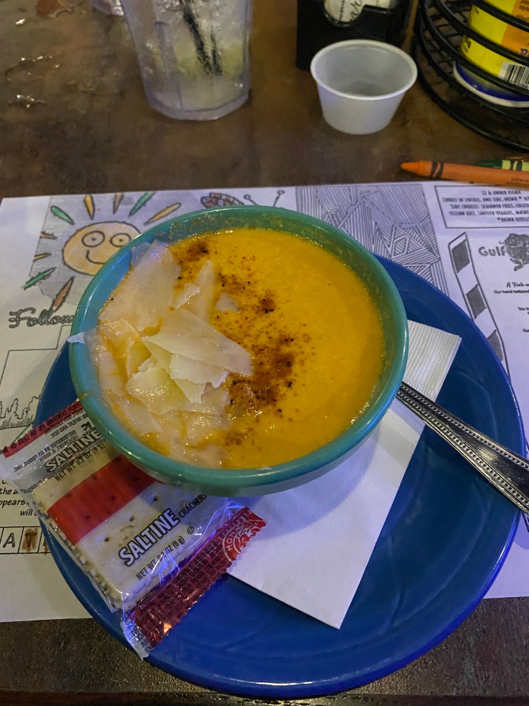
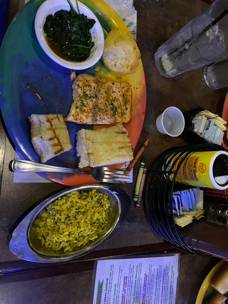
Another locomotive influenced night: first train at 0315. Not as many nor horns as obnoxious as Burlington but still disruptive to a quality night sleep. 0600 wake-up with push-ups only before breakfast at 0630. A minimalist buffet but the biscuits were fresh, warm, and quite delicious. Bags repacked and at the van by 0730 and ready to ride at 0745. Other than a half mile at the start and two miles at the end, the remaining 86 miles would be on Hwy 79 South (Great River Road). Plan was to do enough extra mileage for a century today. Unfortunately, the tire spirits were not on board with that plan. The first of 13 Garmin climbs was within the first mile. The rear tire blew on the second descent at mile 8 but able to slow under control to see sealant bubbling out of a 3/8” slice in the tread. Initially used a road plug but the tire wouldn’t hold any air. Informed the group via WhatsApp on the situation and replied assistance wasn’t required at this time. Had the mini-Workman’s plier tool to remove the valve nut. Ate a S’mores GU to use the wrapper to cover the inside of the slice then put a tube in and put the tire back on. An overly friendly dog was interested in the action and gradually worked his way to the repair site until his owner drove up in an ATV to take the dog home. Haven’t figured out yet how to change units from Bar to PSI on the mini pump yet. Tire wasn’t satisfactorily inflating so used the last CO2 cartridge in my bag but that didn’t work at all. Twisted the dispenser head and placed it on the open valve but no air came out when pressing it down. Slightly loosened the cartridge and all the CO2 expelled instantly. Guess the opening was clogged? Who knows. Reverted to the mini pump and managed to fill the tube enough to make it to the first water stop at mile 16 until the tire could be replaced. At least that was the idea. The tube only survived 2.5 miles until it went flat. Sent a new message that van assistance would be needed. Walked a mile closer to the first water stop before GF arrived with the van. Pulled out the new Schwalbe TL tire and new tube (necessary without an air compressor to seat the tire on the rim and with assistance, returned Synful to road-ready status. Made it to the first water stop location (everyone else was likely at or past the second stop) at the top of climb 5 with the final 400m at 9-11% grade. Took the left to check out the scenic overlook but couldn’t quickly find an unobstructed view of the Mississippi below. Managed a maximum speed of 46.0 mph coasting on the descent from the overlook. Stopped for a photo of Lock & Dam No.24 in Clarksville and continued towards the lunch spot. Making good time with a solid Z3 effort (including the 1-mile walk) so far. Second tube went flat 2.6 miles from the lunch spot. Crap (and all kinds of other 4-letter words and expletives). Sent another message requesting van support and able to walk a half mile before Captain arrived. Borrowed a tube from COLA’s supply since mine were spent. Unhooking one side of a TL tire with a tube inside is not an easy task. Of course, there could be a trick but not in my cycling maintenance repertoire. A little concerned about the tube size being larger than optimal but managed to install it and remount the tire with minimal blood loss from Captain’s scraped knuckles. Discovered the stem was too short for the floor and mini pumps to add air. The remaining FLO valve extender (never got the other one back after the wonderful adventure with SVB) wouldn’t twist on to any of the tubes. Must restock the inventory in the always carry Ziplock baggie. Close to giving up and suggesting it’s time to put the bike in the rack and ride in the van the rest of the way until Captain pulled out a small hand pump that was able to attach securely to the valve and pump in enough air until the floor pump could take over. Sprinkles started as the repairs were finishing and slipped on the new, unworn Le Col rain jacket because heavier stuff was approaching. Rolled into the lunch spot for a quick deli meat and cheese roll-up and headed out for the final 36 miles to the hotel. Captain passed then circled back to say really heavy rain was just ahead. Good to go, not stopping now (unless there’s another flat!). Heavy it was but also short lived. Rain had a bell-shaped intensity curve: sprinkles, light rain, rain, heavy rain, then back down. A little over 22 miles of rain and 14 miles of wet pavement and road spray. Made it to the hotel, last, at 1545. No extra miles today; was chasing the group all day after mile 8. Happy just to cover the proscribed distance. Extremely grateful for GF wiping down and lubing Synful and for his and Captain’s SAG support during the ride. Two thumbs up! Drove to Gulf Shores Restaurant & Grill, specializing in Cajun cuisine. In a new state so tried the Cajun sauteed salmon with yellow rice, side salad, lobster bisque soup and blackberry cobbler. Hands down the best salmon so far (still room for improvement though). Everything was good. Great ending for a very trying day on the bike (first world problem).
RWGPS data: 88.2 miles, 3742’ elevation
Actual ride: 88.08 miles, 3491’ elevation, moving time 5:26, total time 8:02


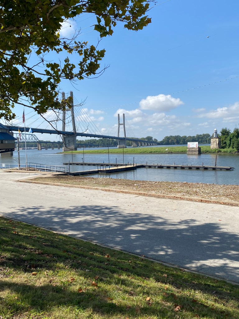
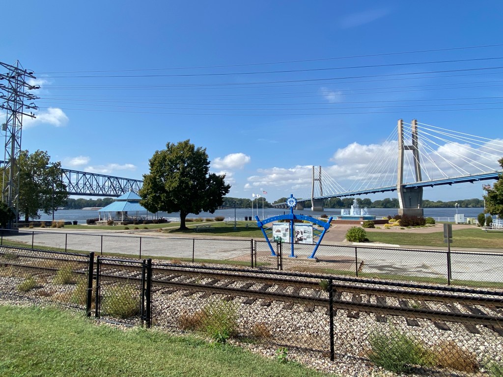
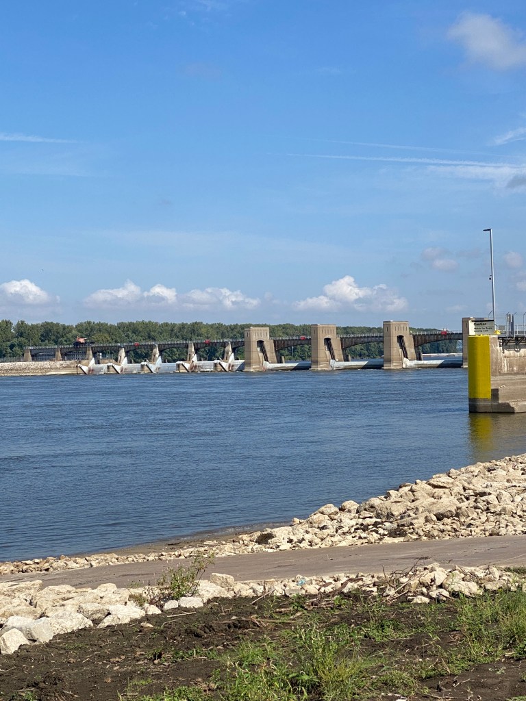
MS River Day 17: St Peters – St Louis, MO
0600 wake-up with no trains, street traffic, or other nighttime disturbances. Slept pretty well. Stopped at the fitness center for dumbbell chest presses and weighted step ups before a standard Holiday Inn Express breakfast buffet. Departure time was moved up 30 minutes (0815 bags at the van and rolling by 0830) due to potential rain in St Louis in the afternoon. Wondered about the conditions of the Katy Trail with all the recent rain but nothing to be done about it either way. Sayonara day for Jane Addams as she departs after the rest day in St Louis and continued the tradition of wearing the COLA MS Epic kit when a member of the group leaves. Plan was for extra miles to make a 70-mile day but at an easy pace and limited time at the rest stops. Easy ride through St Peters, on I-70 E frontage, into St Charles and onto the Katy Trail for 11 miles. Riding the 240-mile length from Clinton to Machens is another Bucket List event but have at least ridden on it now. The crushed limestone trail is the longest developed rail-trail in the US and built on the former corridor of the Kansas-Texas (MKT) Railroad. Heading east from St Charles, the Trail paralleled the Missouri River for a few miles and alternated between open, exposed trail and through woods. Surface was hard, compact dirt with some gravel scattered across it. No signs of rain on the open sections but tires left tracks through some of the wooded sections as well as having a thin, damp layer of leaves in spots but no puddles. Away from the river, trail was fairly straight with minimal bends or curves. There was one small, downed tree across the Trail but plenty of room to ride around it. Remarkably, the trail and woods were trash free. Kudos to either well-behaved users or diligent clean up crews for keeping a clean state park. Exited off the trail onto a clearly posted, private road shortly before the Trail just ends. The private road had a thin gauge, steel cable stretched across the road near the intersection with Hwy 94. Cable would likely cause serious injury under conditions of poor visibility. Informed GF of the hazard at the second water stop. Peculiar route to St Louis riding east and then north along portions of the Lewis and Clark Trail, crossing the Mississippi River into Alton, IL before heading south. Stoker pointed out my front tire was lightly bubbling sealant at the second rest stop. Great. The tire spirits weren’t finished toying with Synful. Gentle pressure on the pinprick for 30 seconds stopped the leaking and the tire continued to hold pressure. Fingers-crossed, set off for the lunch stop hoping there wouldn’t be a repeat of yesterday’s nightmare. Most of the next 18 miles were on levee trails (paved and gravel) and over two bridges. The Chain of Rocks Canal Bridge, one motorized vehicle lane controlled by stoplights and a cycling/walking lane connects Granite City, IL to Chouteau Island. The US Army Corps of Engineers formed the island in the late 1940s and early 1950s when they created the Chain of Rocks Canal and joined the original Chouteau, Gabaret, and Mosenthein Islands. The Old Chain of Rocks Bridge is over a mile long, 60 feet above the Mississippi River with a 30 or 22 degree (depending on the source) bend and connects Chouteau Island to the north edge of St Louis. The bridge has been closed to motorized vehicle traffic since 1970. Both bridges were part of the historic Route 66 that connected Chicago, IL to Santa Monica, CA. The final three miles to lunch were along the Mississippi Greenway and St Louis Riverfront Trail. The front tire was spongy but made it. A rather stressful afternoon and tire concerns precluded an out and back for additional mileage. Had deli meat and cheese rollup and chocolate milk. Added a bit more air in the front tire and headed off on the final 8 miles – almost exclusively on the Riverfront Trail. Some scenic sections, heavy industrial, a couple of homeless camps, and a seedier, downtrodden air. The trail ended abruptly at a closed, wide, tall steel door. Made a right up and short, steep incline and the Garmin quickly re-routed and displayed a map to the Hampton Inn St Louis-Downtown, (At the Gateway Arch) location. Arrived before the van but unable to check in without an ID which was in my day-bag in the van. Checked in after the van arrived and assisted with unloading the personal bags and took stuff to the room. Took both wheels off Synful as a trip to Big Shark Bicycle Shop was pending. Captain and Harmonica had mechanical issues with their bikes as well. Took longer than expected by now have two, new Vittoria RideArmor TL tires (first time using them but apparently they’re the toughest TL tire available) mounted, one spare, two tubes, a valve extender, a pair of socks to match the COLA Epic MS River Tour kit and a black Big Shark kit. Walked to Duffy’s Pub & Grill while the shop continued working on Harmonica’s handlebar tape and chain. Ordered a cup of cream of chicken and rice soup, side salad, grilled BBQ chicken sandwich and fries. Pub fare, not bad. Soup was very good.
RWGPS data: 63.6 miles, 1360’ elevation
Actual ride: 63.98 miles, 1942’ elevation, moving time 3:59, total time 5:57


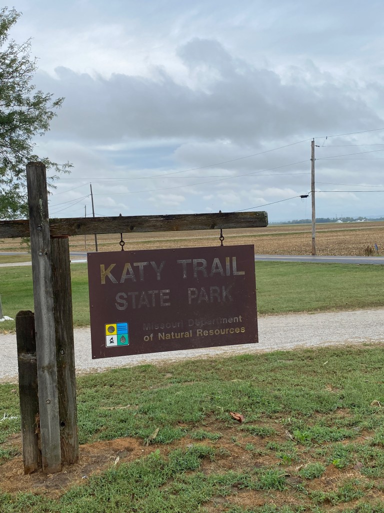

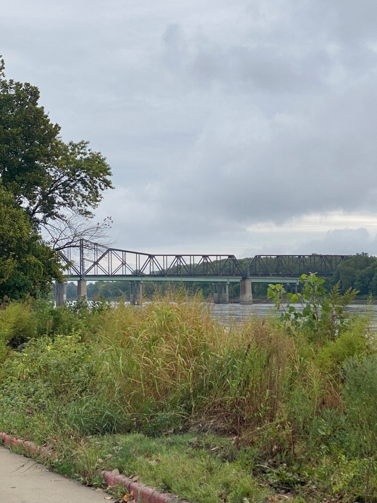

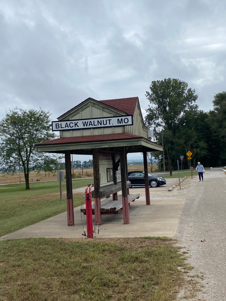
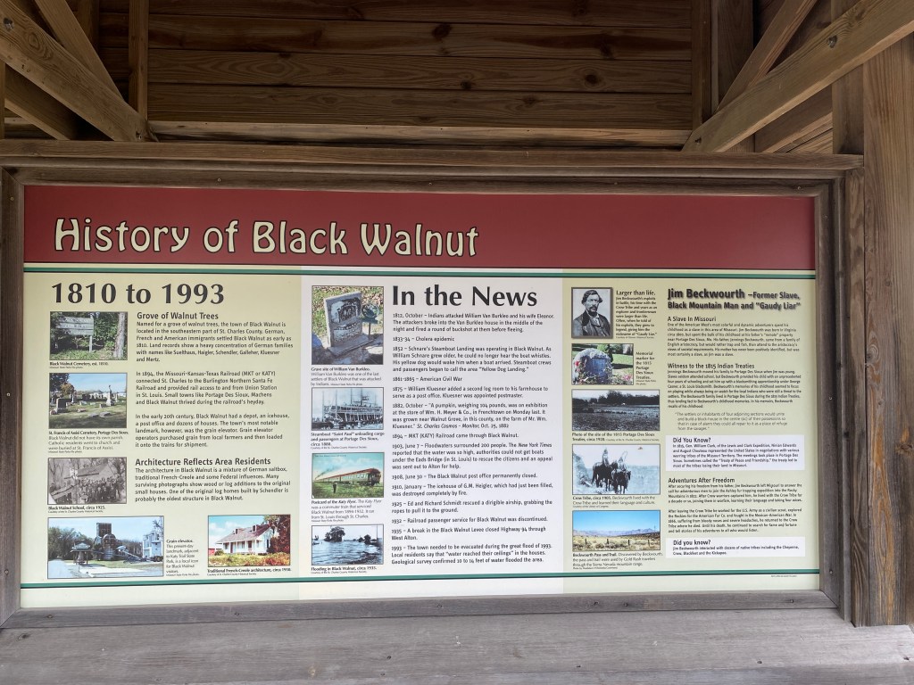

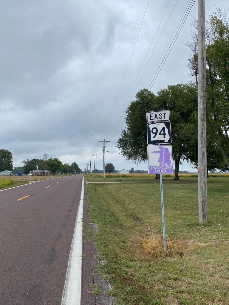

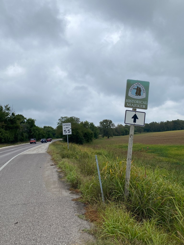
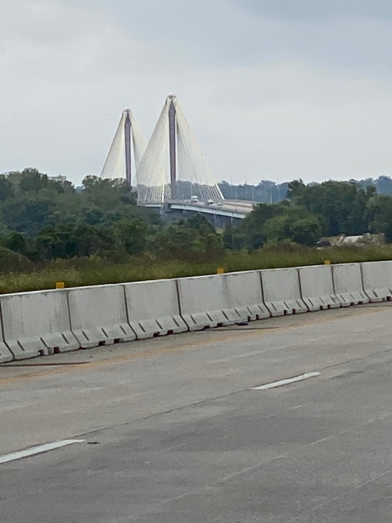
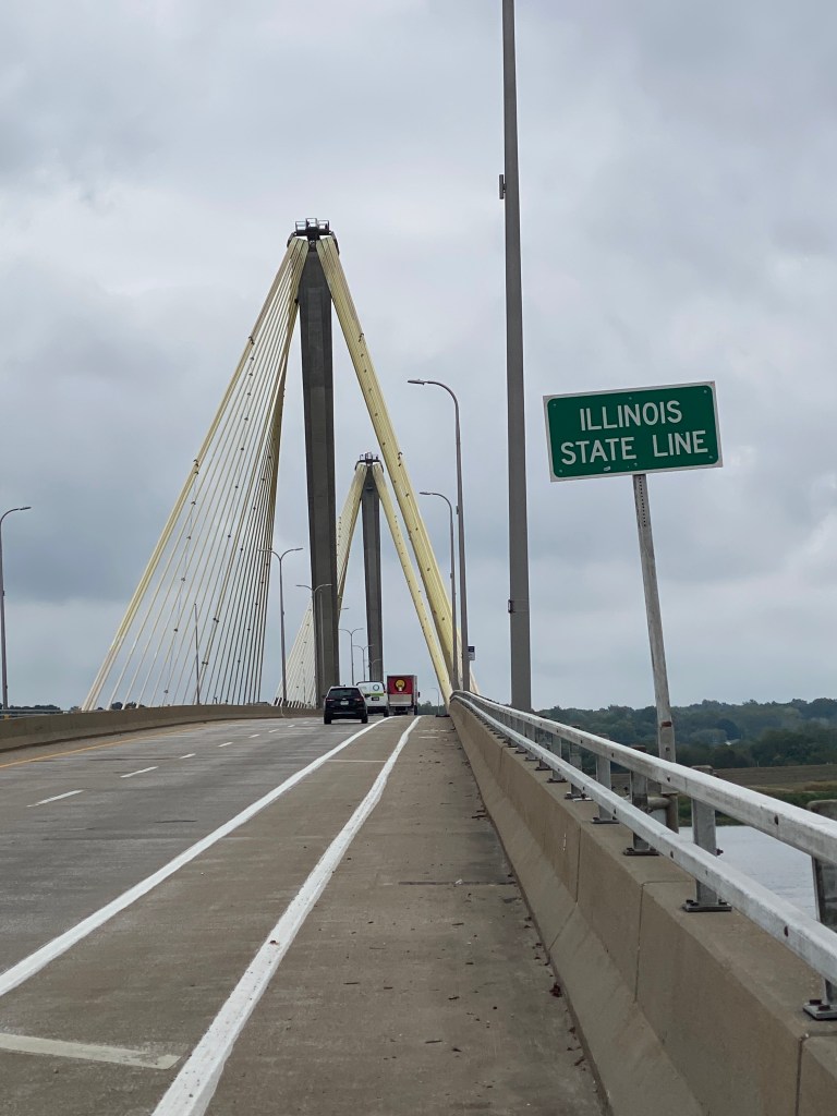
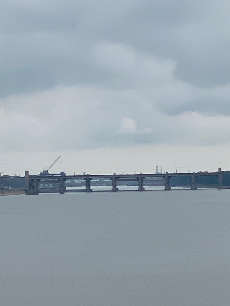

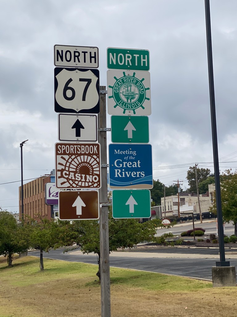
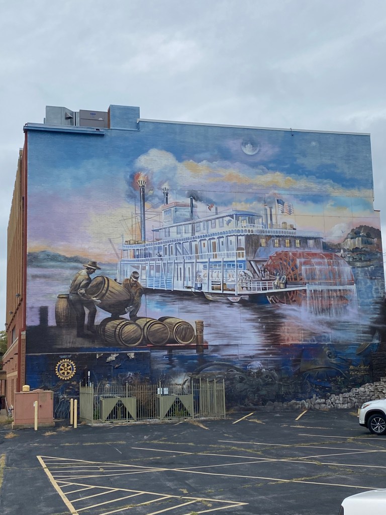

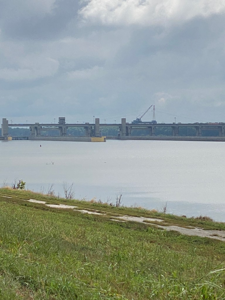
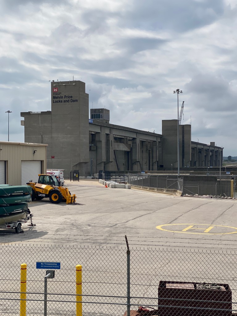
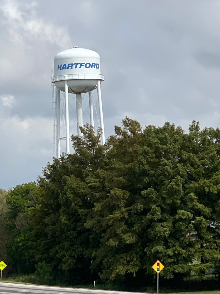

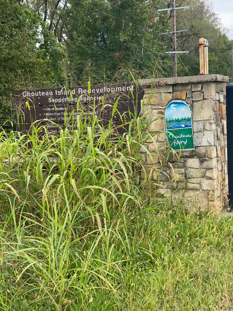
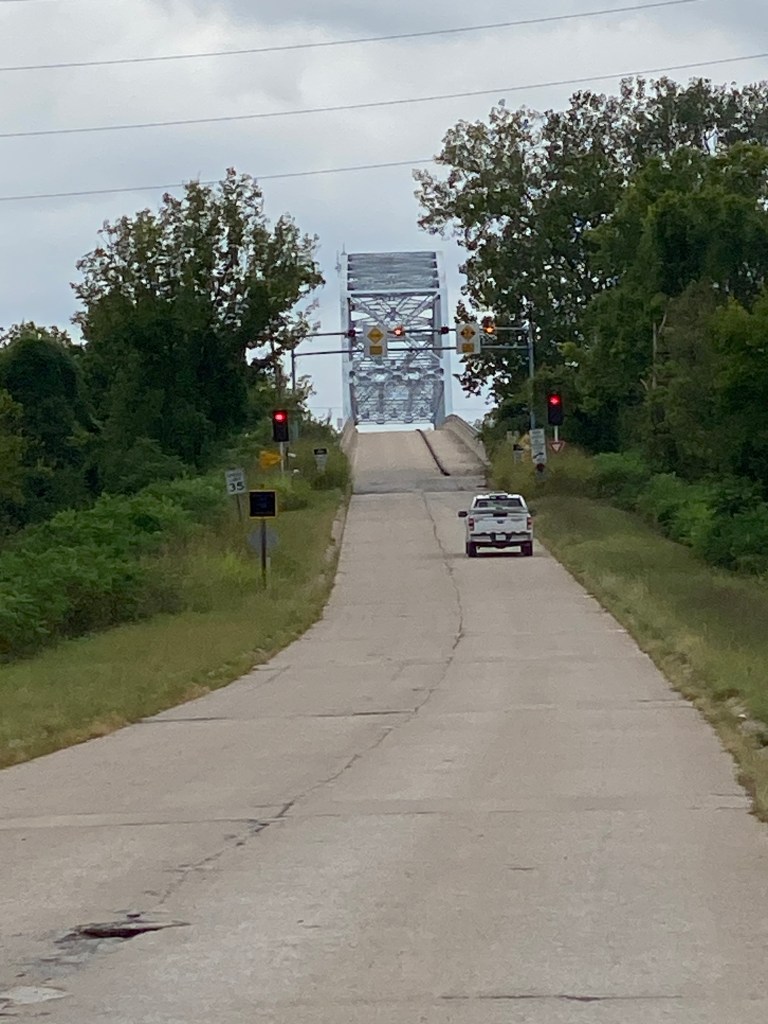

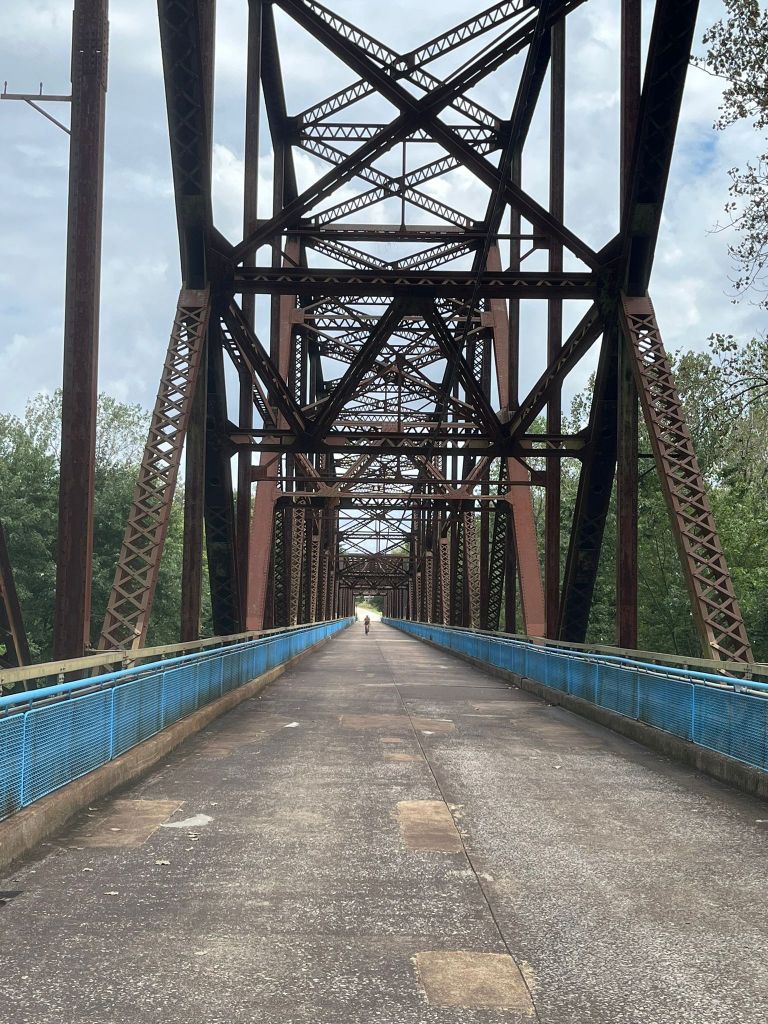


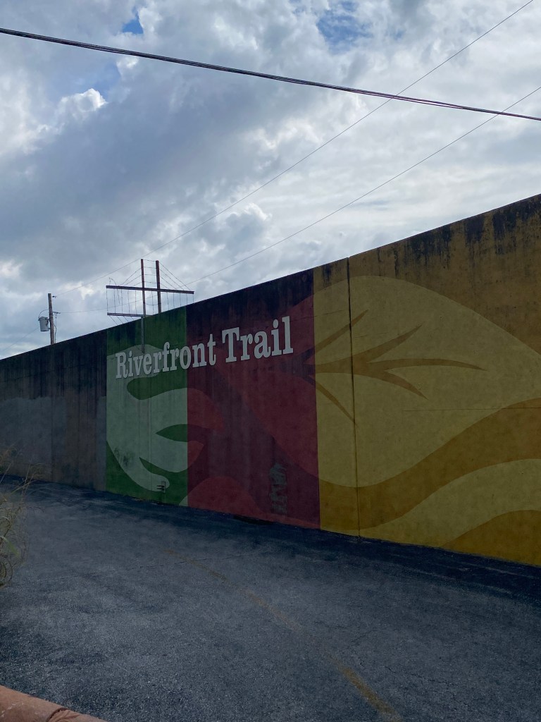


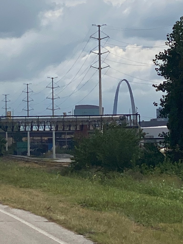
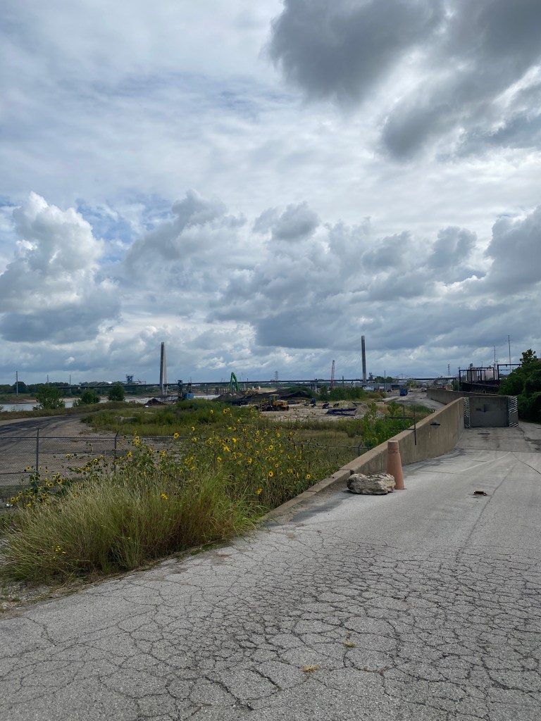
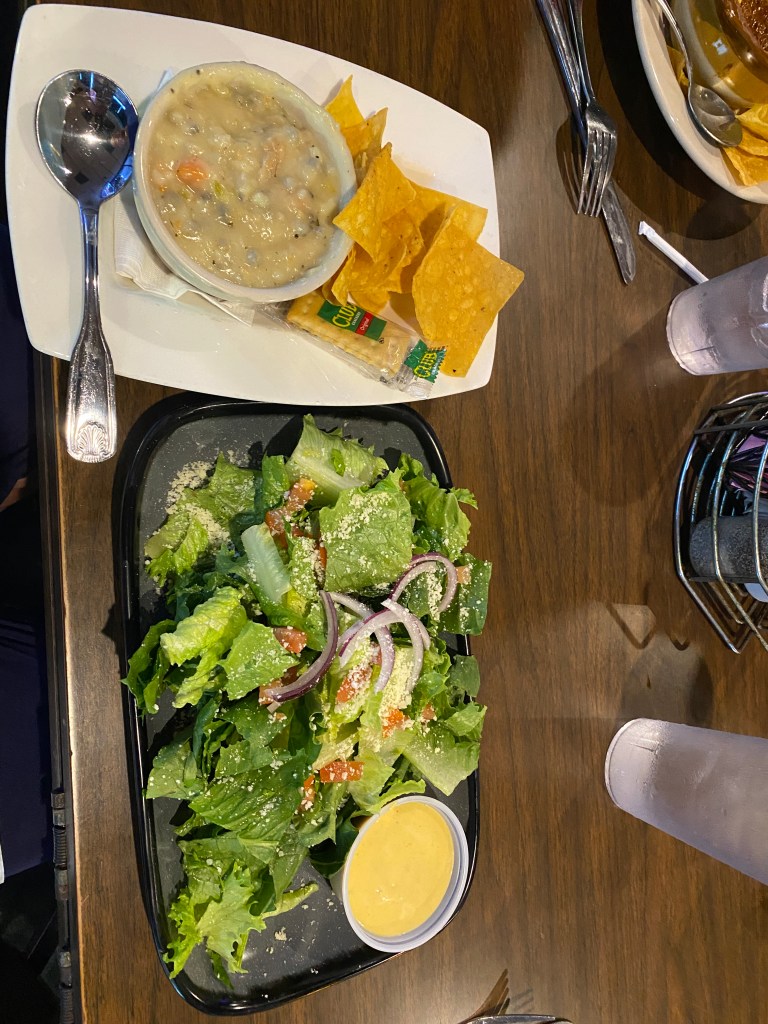
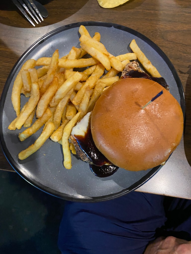
MS River Ride Day Off #2: St Louis
Not a good night’s sleep regardless of Garmin Instinct watch data. Many times it fails to differentiate sleep from wakefulness when HR is the only variable. Awake a lot with calf and arch cramps Fully awake more than 2 hours before alarm. Out of bed and puttered for a few before returning to bed and dozing until 0700. Downstairs in the lower lobby for breakfast and soon joined by Drummer, Broker, Alaska, Doc, GF, Captain, and Jane Addams. Headed out for a recovery 30-ish mile spin to the Gateway Arch and north on the St Louis Riverfront Trail past yesterday’s lunch spot, over the Chain of Rocks and Chain of Rocks Canal Bridges, to the intersection of Lewis and Clark Blvd and Old Route 66 and back to the hotel (2 MS River crossings). NNW wind made the first half mildly unpleasant but good for the return and bodes well for tomorrow if the pattern holds. Initial perception is Vittoria RideArmor tires have greater rolling resistance than Continental AS TR. Just seemed sluggish. According to Bicycle Rolling Resistance which only lists data for 28mm tires: Conti 9.7 watts and Vittoria 19.3 watts at 72 PSI. On the plus side, the RideArmor have increased durability and puncture protection compared to the Continental All Season tires. Didn’t realize the Arch and St Louis skyline were visible from the Chain of Rocks Bridge. Views were glaringly obvious riding east as they were in front; didn’t require stopping or looking back of the left shoulder. Tailwind for the return trip was most appreciated. Showered and did laundry upon returning to the hotel. The guest laundry room had 3 sets of washers and dryers. They were all available. The machines didn’t accept coins but required payment via a PayRange app. Convenient but double the cost, $3.00, of the previous hotels’ coin operated machines. Unfortunately, there’s often a greater fee for supposed “convenience.” Hung the kits to air dry after the wash cycle finished then went for a 3.5-mile walk, past the arch, along the river, and some of the blocks near the hotel. No dinner related messages on WhatsApp so walked to Salt + Smoke BBQ across the way from Busch Stadium. A rather disappointing and underwhelming dining experience. Ordered a side mixed salad (best item), 3 meat plate (pulled pork, brisket, and pulled chicken .(lukewarm temperature and small portions: a single slice of brisket and roughly a ¼ cup each of pulled pork and chicken), baked beans (warm but flavorless)), coleslaw (flavorless), and a cheddar bacon popover (big but also flavorless). Not worth the price and wouldn’t recommend it. An abundance of vacant commercial office spaces and entire buildings downtown is the result of population loss and suburbanization. Sad.
Walk: 3.55 miles, 210’ elevation, moving time 1:05
Ride: 31.38 miles, 1070’ elevation, moving time 2:06, total time 2:18

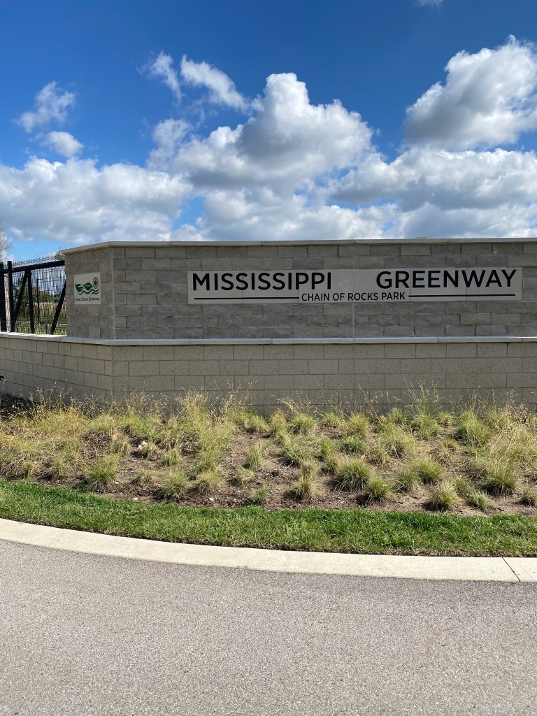
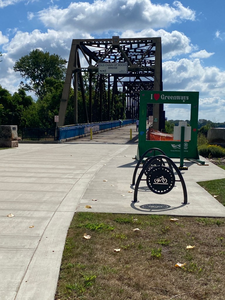
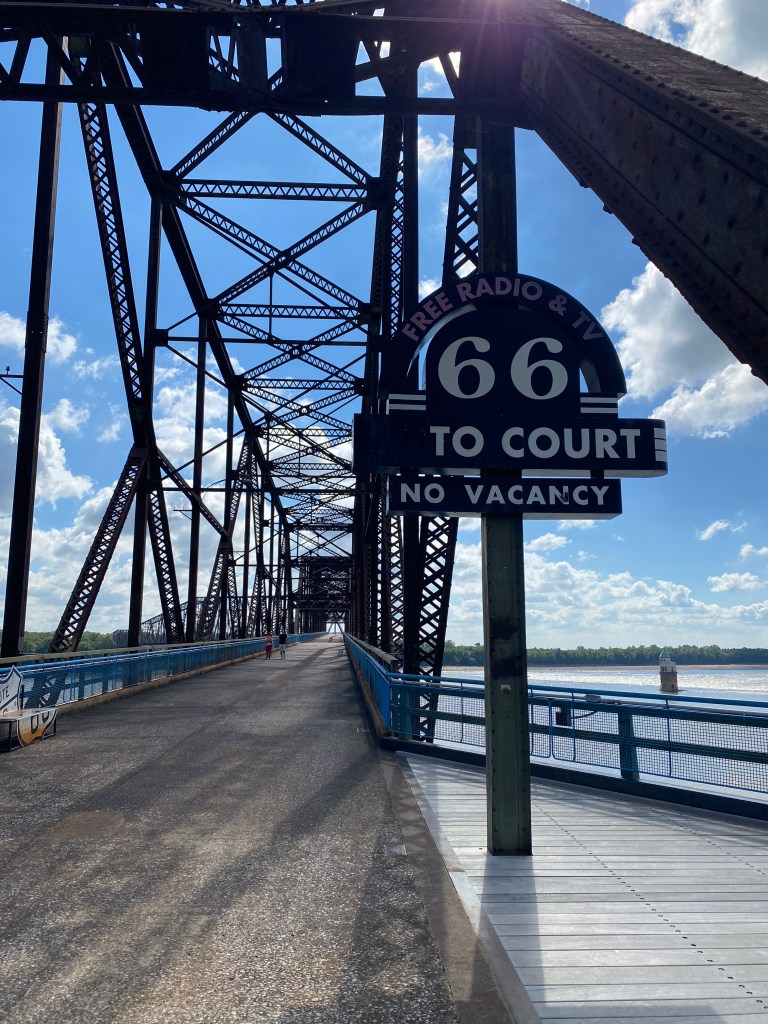

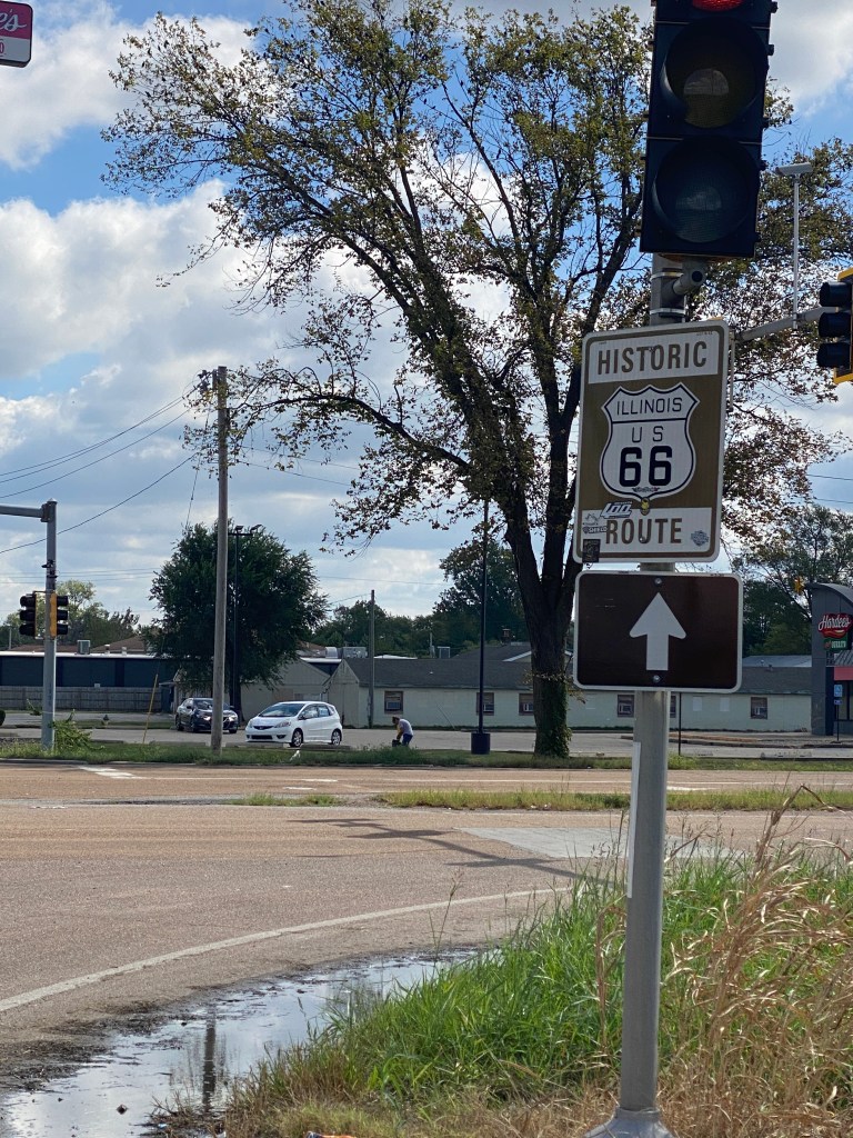


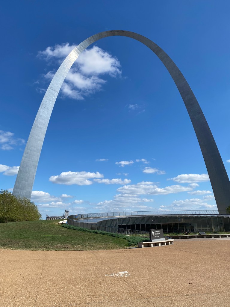


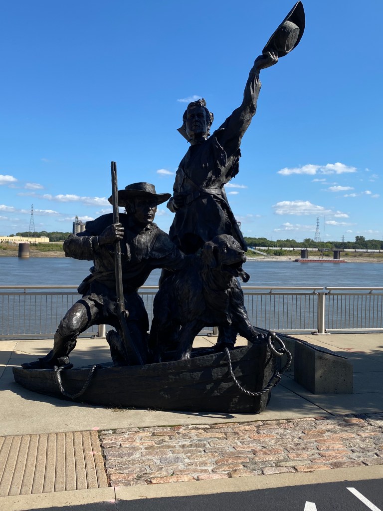
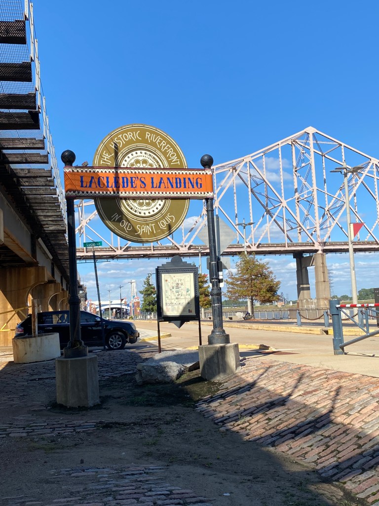

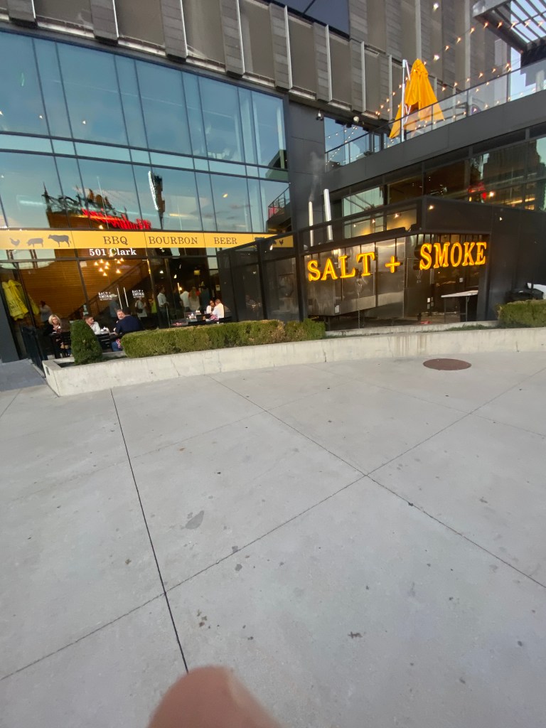

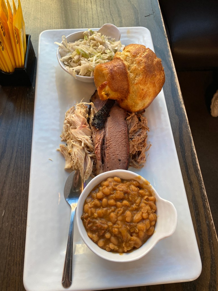

MS River Day 19: St Louis – Ste Genevieve, MO
Tired last night and crashed before 10:00. Slept better with less leg cramping. Up at 0600 and down to the fitness center for assisted pull-ups, dumbbell chest presses and biceps curls before heading to breakfast. Weird that breakfast is 0600 – 900 at this Hampton Inn while most have a 4-hour window of 6 -10. Back to the room to fold and repack clean, air-dried kits to include today’s selection, the new, all black Big Shark Bicycle Company. Rather chaotic elevator mayhem this morning as one wasn’t working and the other 2 were experiencing problems accepting input for the intended floor destination. Met the bag drop time of 0815 but missed the roll time by 8 minutes waiting for an uncrowded elevator to bring the bike down from the 12th floor. The newest member, LR, joined the Epic MS River Tour family today. On the Riverfront Trail for the first 3 ½ miles to include nearly 1 ½ miles of continuous, graffiti-covered stone walls. Pictures didn’t do it justice and wasn’t going to video the entire stretch. Some very colorful and imaginative art – well done, too. Next 6+ miles were traffic light infested city streets with a marked bike lane. Turned left and through River City Casino development but missed the entrance to the Mississippi Greenway trail and had to circle back. Still didn’t find the entrance but hopped the curb, down the grass embankment onto the trail headed in the proper direction. Rode through the Historic Jefferson Barracks Park and turned left onto the familiar Route 61 South for the next 16 miles. First water stop was at a gas station at mile 17. A slight left-hand bend and continued on Route 61 for another 26 miles. The second water stop was at a roadside park in the Twin Cities. The cycling surface wasn’t ideal: debris and litter covered shoulder, no shoulder, some acceptable shoulder. Not much scenery except for the few views from elevated positions looking across rolling, wooded countryside. Kind of a boring highway ride requiring a fair bit of attention given to navigating around trash, tree debris, cracks, and potholes. Construction crews were out in force on a Friday. A couple of lane closures with flagmen at either end and a bridge with one of the southbound lanes marked off with orange cones. Paying too much attention to the work crew at the distant end of the bridge and not the numerous, scattered, rectangular sections of removed concrete with rebar bracing at the bottom of the 6-inch-deep holes. Diverted a certain catastrophic incident by stopping with the front tire less than a foot away from the gap. Talk about a negative adrenalin rush. Managed a 9.5-mile out and back before lunch at mile 49 in the parking lot of a church. Would have arrived at the lunch location before the van without the out and back extension. The profile for the day’s ride was deceiving; not for the first time either. A total of 9 Garmin categorized climbs with the final one looking like a 6-mile climb. It was actually two separate climbs of .5 and .75 mile separated by 3 miles. Some of the distance before the first climb and between the climbs were on a positive incline but not enough for Garmin to classify it as a climb or include it with one of the two it did designate. Legs felt better today than they have in a few days. Able to consistently maintain 4.0+ w/kg on the rollers without dying before rolling over the top. The final 3 miles were on quiet, rural roads with primarily soybean fields on the left and a meandering creek and woods on the right, entering the city from the north. Sainte Genevieve, a small (5,000 population) historic city, is the oldest, permanent, European (French – Canadian) settlement west of the Mississippi and named after the patron saint of Paris. Accommodations were at the Main Street B&B. Trains are likely to pose nighttime challenges as the tracks are close to the B&B and it isn’t a “No Horn” zone. Brought bags inside and the bike around back to the porch before showering and walking a couple of blocks to Audobon’s (yes, that Audobon as he did live in Ste Genevieve for a few years. Learned that he was not a very nice person in numerous ways) Restaurant for dinner. Ordered a pretzel appetizer (no picture as it was delivered to the other end of the table first). It was smaller in every way (height, width, depth) and denser and not as good as the previous pretzel in Dubuque. Ordered a side garden salad, apple-glazed, grilled pork chop, roasted brussel sprouts, a baked potato (came late so no picture), and a slice of pumpkin cheesecake. The chop was decent, brussel sprouts lacked seasoning, the potato was fine, and the cheesecake was pretty good.
RWGPS data: 68.3 miles, 3659’ elevation
Actual ride: 79.06 miles, 4554’ elevation, moving time 4:49, total time 6:02


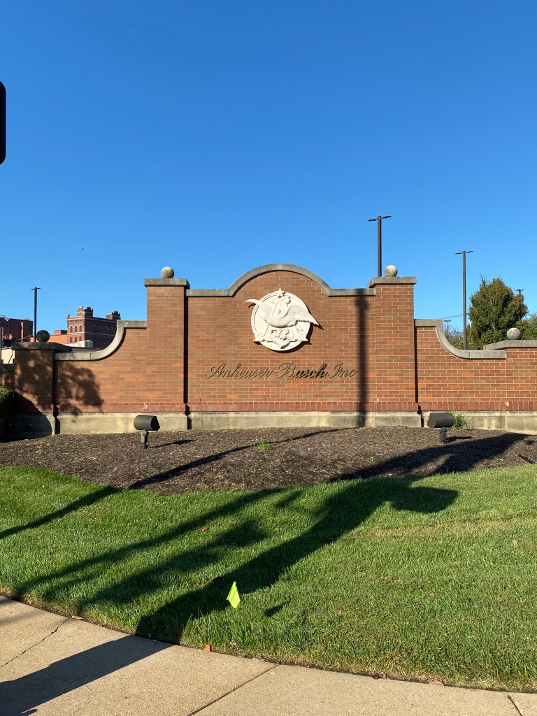
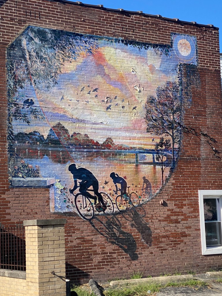


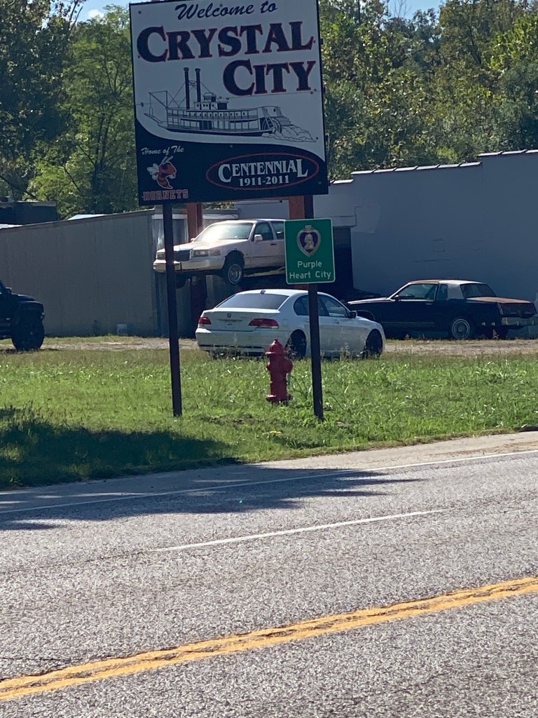
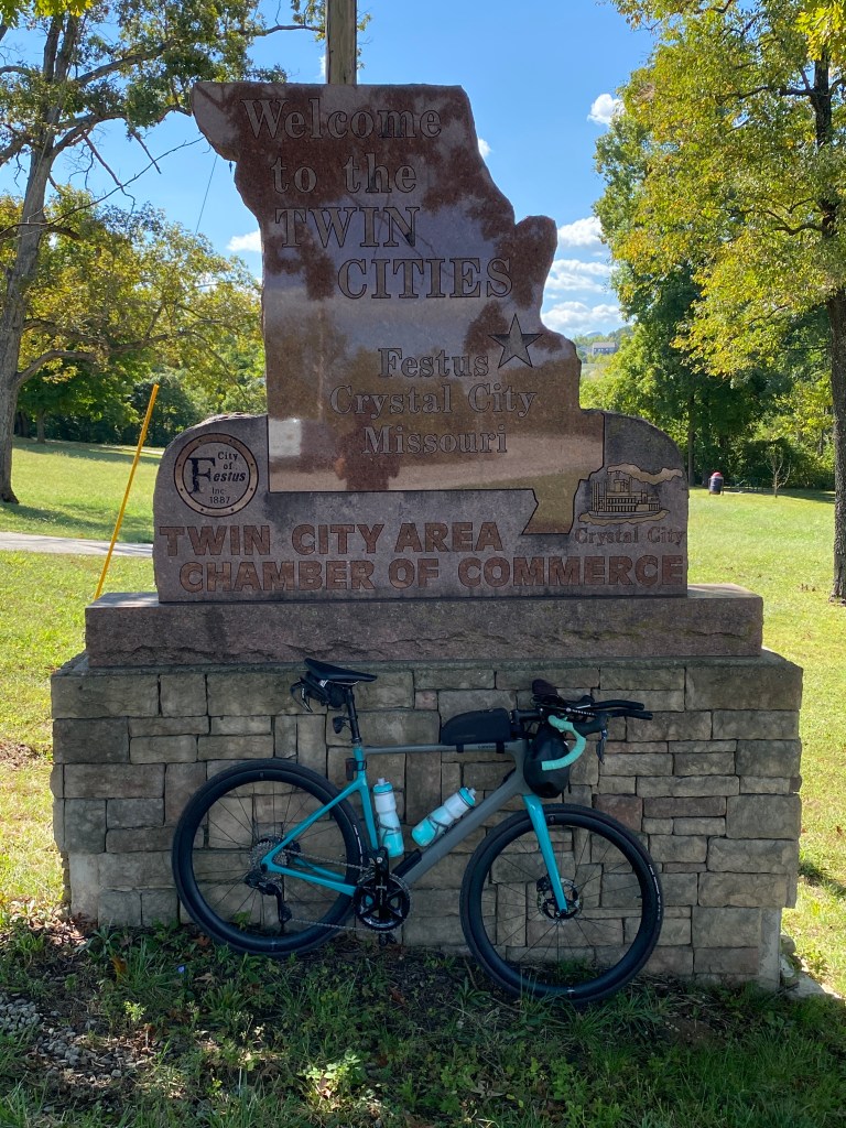
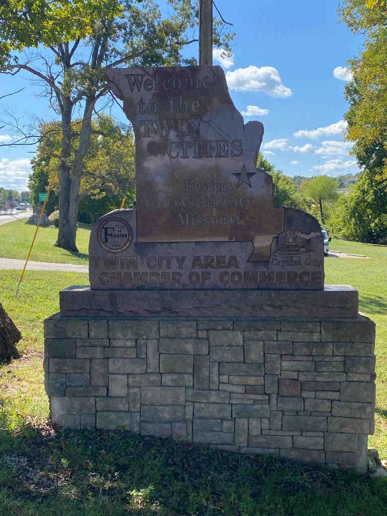

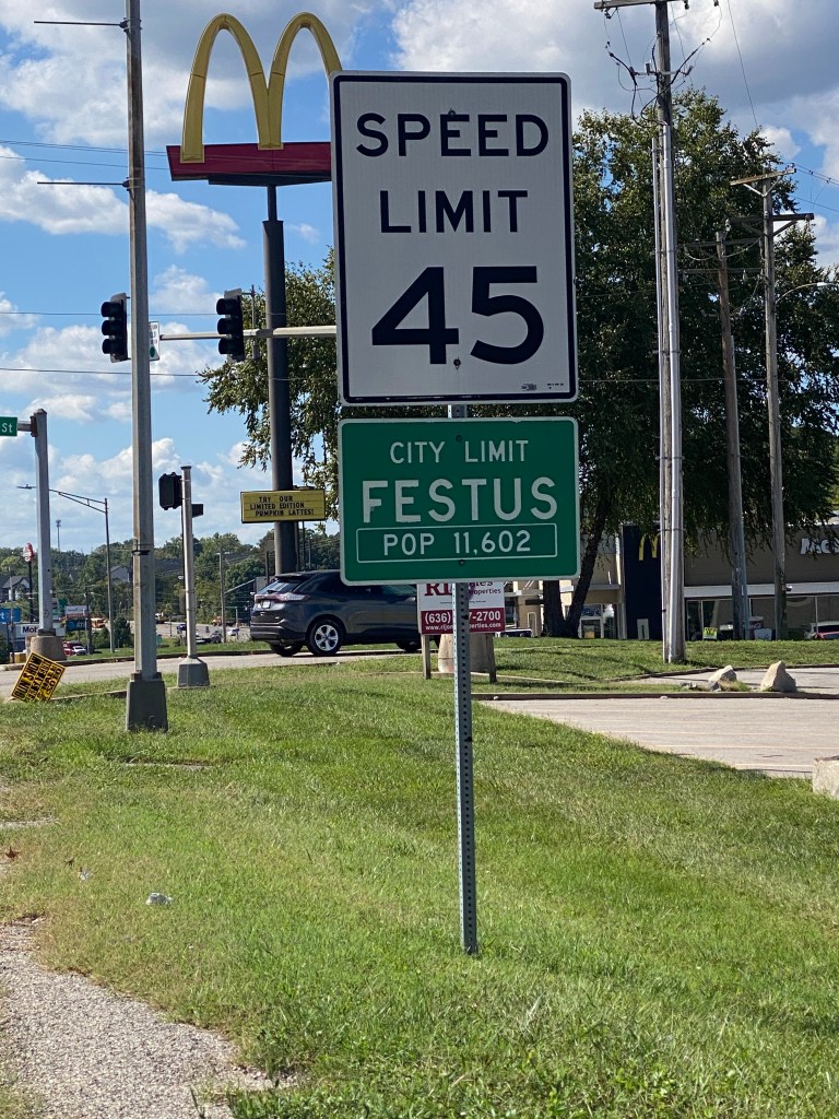
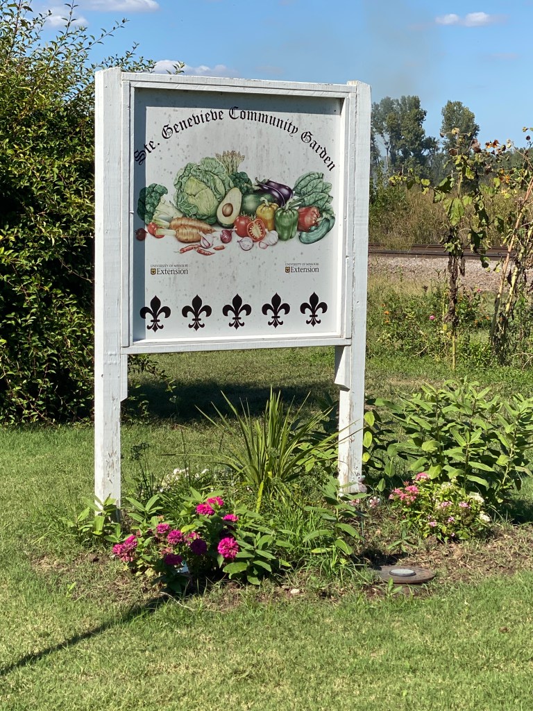


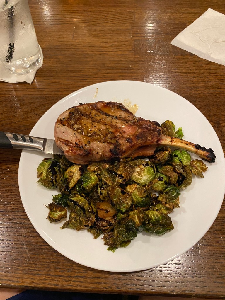

MS River Day 20: Ste Genevieve – Cape Girardeau, MO
Surprisingly, the trains didn’t impact sleep. Either exhausted or A/C muffled the sounds. Alarm went off at 6:05 providing plenty of time to be at 0630 breakfast for pumpkin bread, yogurt, quiche, and shredded potatoes with cheese. Everything was excellent. Back to the room to get dressed, bags repacked and out to the van by 0745. Unlocked Synful and wiped her dry from the overnight dew and rolling by 0800. Stopped for a few photos leaving town, to include one of 2 remaining examples of French colonial architecture, Poteau-en-terre (posts in ground) with the spaces filled with a mixture of mud and plant fibers called bousillage, remaining in the US. Quickly returned to Route 61 but shortly turned left onto a 6-mile stretch of very chunky gravel that ended on a levee. Route indicated a sharp right to remain on the levee, but this section was a combination of grass and single track. The surface wasn’t the sticking point; it was the posts with connecting wire cable between them and the sign stating, “Authorized vehicles only.” This wouldn’t be the only navigational conundrum for the day. Communicated with the tour guides about the situation and said the group were working our way across the grass levee. Successfully crossed the levee without being discovered by local authorities for trespassing and eventually re-connected to the proscribed route after somehow veering off the route but riding parallel to a road that didn’t exist in reality. Crossed over the Missouri, more like a creek at this point, before arriving in St. Mary and the second routing challenge. The route crossed Route 61 and turned left onto a parallel secondary road until crossing over 61 again onto a gravel road that ended before 2 large, cement trapezoid solids. Bridge piers were visible through heavy brush and trees in the gully beyond the blocks but no superstructure or other necessary components of a bridge. Continuing on the route wasn’t an option. GF was driving the van and was only a few minutes away. Decided the only option was to continue on Route 61 for 5 miles until it intersected with the intended route in Perryville. Miscommunication on the specific location of the van for an impromptu water stop added a little frustration to an already hectic morning. Unplanned, repeated the climb out of the city 4 times (exploring, looking for the van, chasing the group down, actually leaving the town). Some of the group elected to follow the planned route with its known additional gravel sections ahead while others remained on Route 61. The two routes intersected a quarter mile before the second water stop. Miraculously, most of the riders and van arrived at the spot within a 5-minute window. Since the water spot location provided no shade, group decision was to push on for another 12 miles to the lunch location. The scenery was much better from the roads compared to yesterday with vistas of rolling terrain with either large farms (primarily corn or soybean and a couple of small cattle herds) or woods. The gravel didn’t lend itself to looking anywhere but the road ahead. Smooth and peaceful riding it was not. Managed a 5-mile out and back extension before lunch in the parking lot of a gas station. No more gravel but a few more climbs, 12 total, but all less than .75-mile and 5% average grade. Legs were fatigued and extremely flat after lunch. First glimpse of the Mississippi wasn’t until 6.5 miles from the finish near Cape Rock Park then a few miles along the Riverfront Park. The waterfront was crowded with folks touring the historic WWII ship LST 325 and visiting the numerous shops and restaurants on Water St. The flood wall is colorfully adorned with murals on both sides and a history timeline. Unfortunately, our hotel was 3 miles in-land and required ascending the last 3 climbs of the day. Drove to dinner at the Top of the Marq, located on the 7th floor of the Marquette Tower. The former Marquette Hotel was built in 1928 in the Spanish Colonial Revival Architecture style with ornate painted terra cotta and custom-made encaustic (cement) tiles. Our subset group of six (intended to reduce total restaurant time instead of seating the group of 14 at one table) ordered and shared a number of the social plates to include: Mollie’s Mushrooms, chopped salad, tomato and yogurt dip, deviled eggs, blackened shrimp, chicken tinga tacos, brussel sprouts and shishito peppers, and steak crostini. Not shared was the s’mores gooey butter cake. All was delicious and filling.
RWGPS data: 84.78 miles, 3725’elevation
Actual ride: 95.15 miles, 5187’ elevation, moving time 5:58, total time 7:41

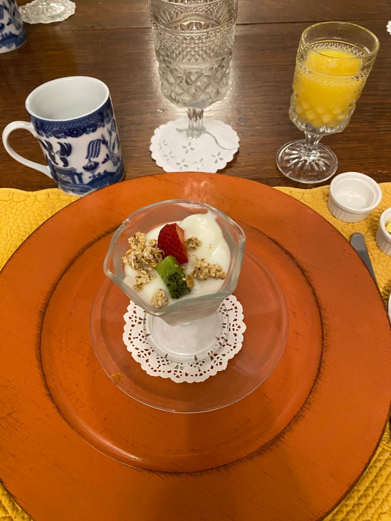
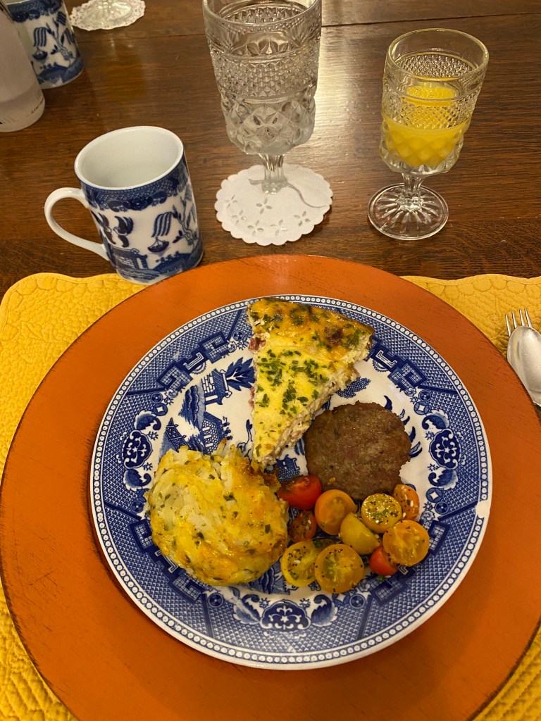
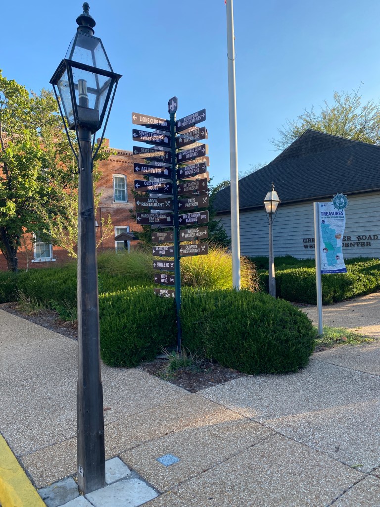

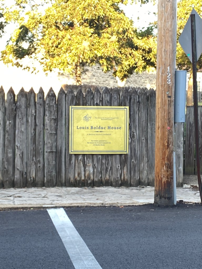
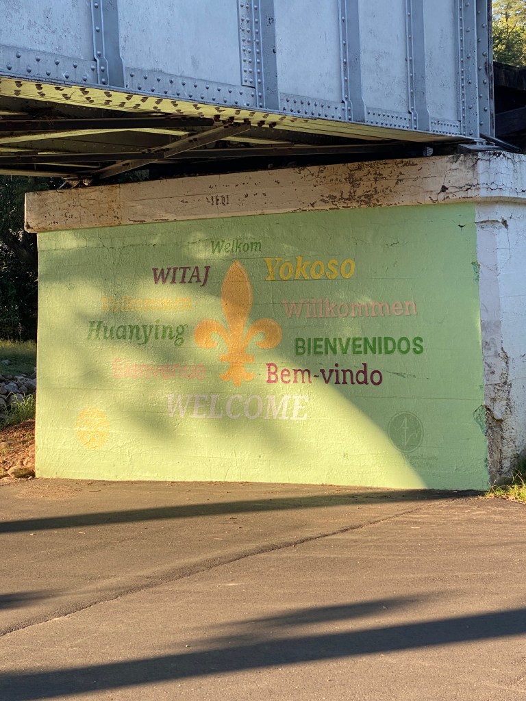

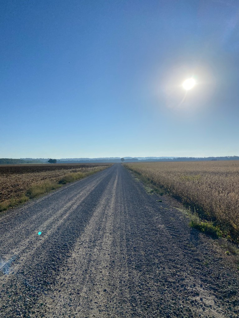
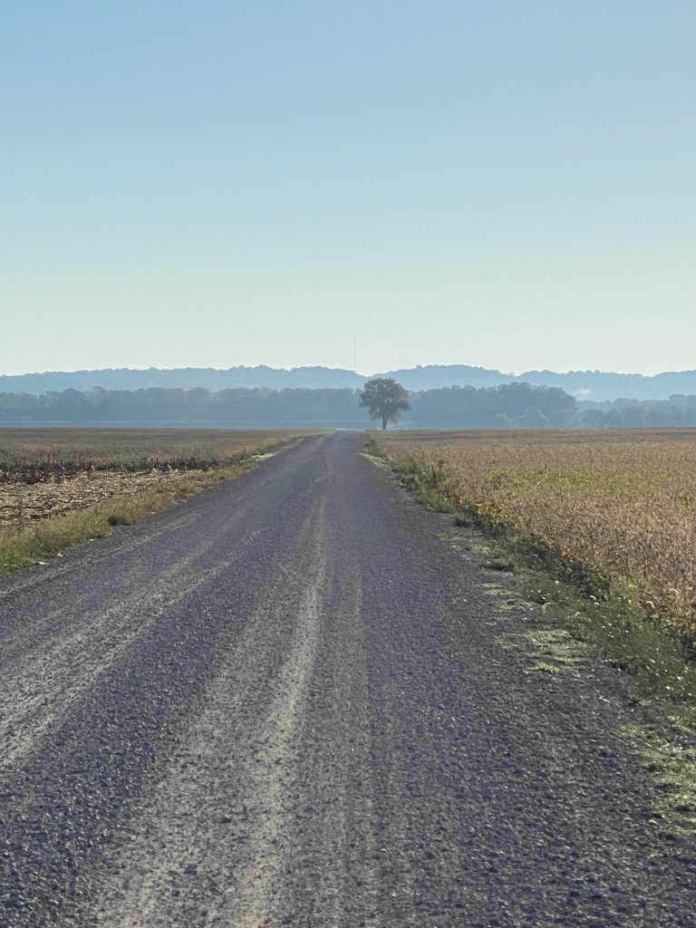


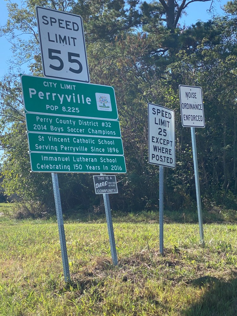
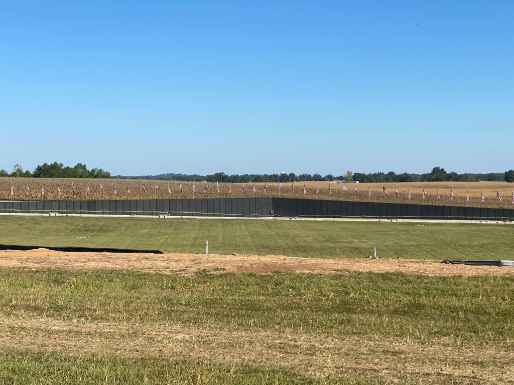
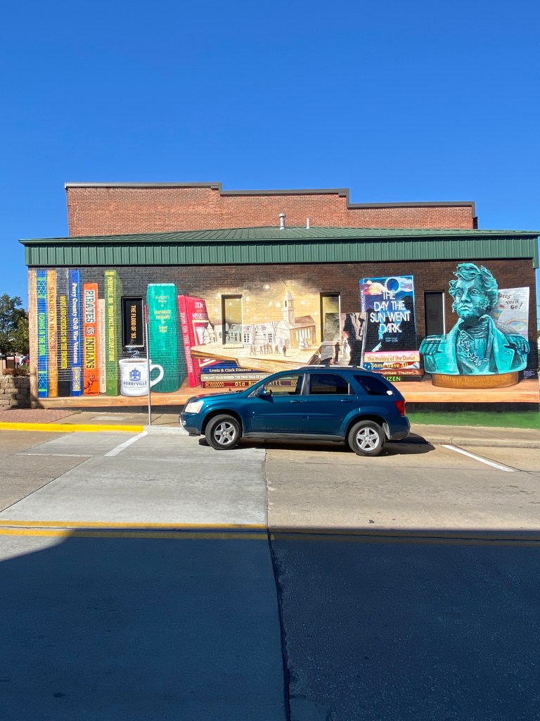
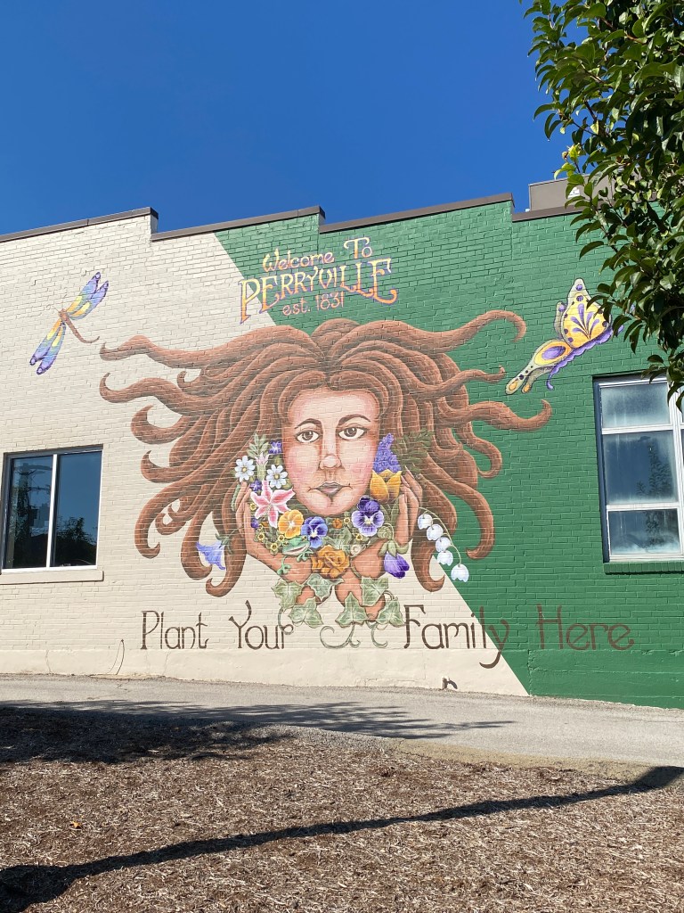


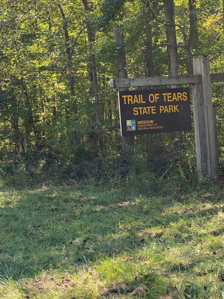
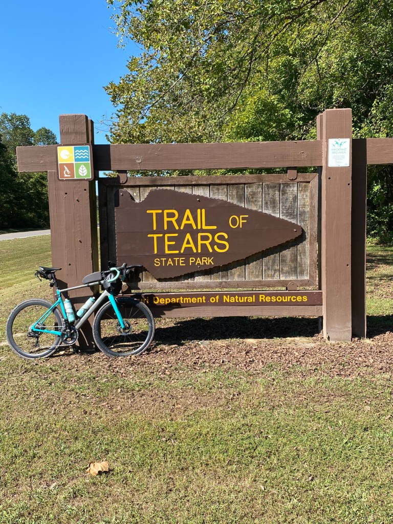


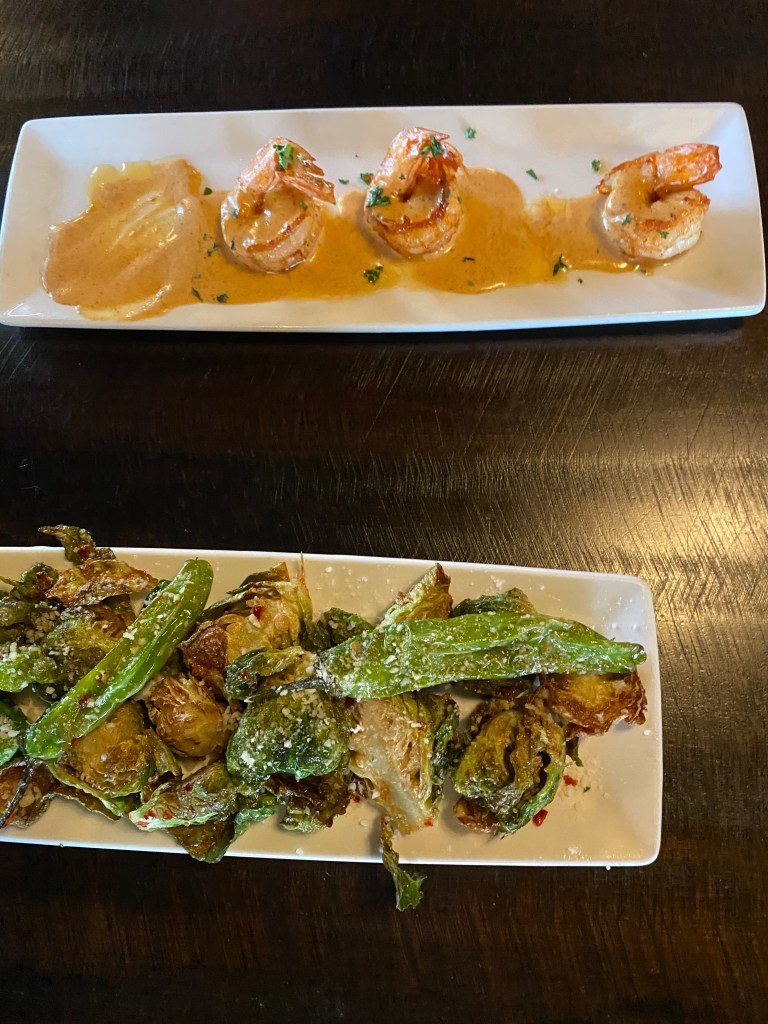
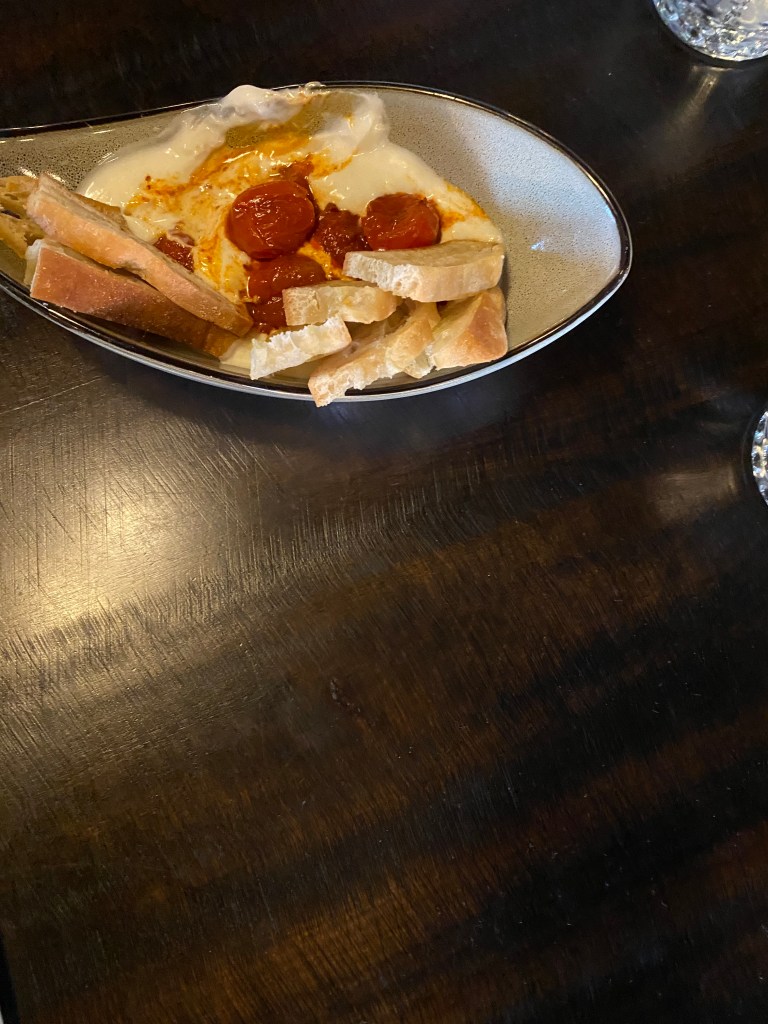
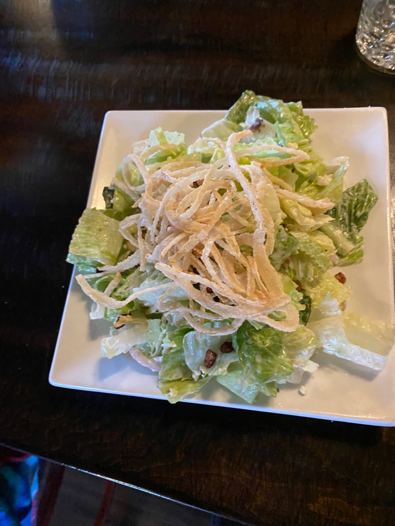
MS River Day 21: Cape Girardeau, MO – Union City, TN
Awake 15 minutes before the alarm and no sense attempting to snag a few more minutes as it would most likely be dozing and that’s worse than getting up early. Down for breakfast at opening time as the first of two, consecutive big-mileage days pushed roll time to the left at 0715. Initially thought it was a 3-day state but would’ve lost the Final Jeopardy Answer. It was a 4-state day (MO, IL, KY, and TN) with the last two being the 6th and 7th states along the Mississippi. Pedaled eastward away from the hotel, in comfortably cool conditions, into the sun, crossing over the Mississippi with steam fog rising upriver, into East Girardeau, IL. Finally turned south, out of the morning sun’s glare, onto IL3; one of the better road routes on the Epic Tour so far. Long sections of new asphalt along with older pavement still in good condition. Road was smooth with a wide shoulder mostly free of litter and other debris, and minimal vehicular traffic. A lot of small rollers but neither long nor steep with only 5 Garmin categorized climbs. Refilled a water bottle at the first water stop in a church parking lot at mile 17. More of the same until IL3 transitioned to Route 51 where the shoulder became cracked, bumpy, haphazardly patched or not, cement. Bad stretch lasted about a mile then returned to previous conditions until entering Cairo (pronounced Kay-row). A booming city back in the 1920s but dominated by vacant, dilapidated buildings and commonly referred to as a ghost town now. The second water stop was in the upper parking lot at Fort Defiance which served as a military post during the Civil War and a key stopping point for the Lewis and Clark Expedition. The lower lot has an observation platform that provides a spectacular view of the confluence of the Ohio and Mississippi Rivers. Stopped for group photos with barge activity on the OH and the confluence as backdrops. Bridges crossing each of the rivers are visible from the upper parking lot. The MS River Bridge is an historic nearly mile long, 5,174 ft, 20-ft wide, steel truss through deck bridge which opened in 1929. The OH River Bridge is a longer, 5,864 ft, also 20-ft wide, cantilever truss bridge that was completed in 1937. The bridge design is insufficient to carry traffic over the river in an effective manner and scheduled to be closed to all traffic around 2030. A new US 51 bridge is in the final design phase with anticipated construction from 2028 – 2031. The plan for crossing the OH bridge into Kentucky, state number 6, was GF leading us over in a tight group, no more than two-abreast with Captain driving the van as a chase vehicle with flashers on. Progress was smooth until Broker dropped the chain about halfway across. Everyone else continued while he quickly opened the sliding cargo door on the van and hauled himself and the bike inside. This delay only lengthened the line of vehicles with unhappy drivers behind the van. This was the least bike-friendly bridge and most harrowing river crossing to date. It was a long, simple two-lane road with no shoulder or bike lane. The absence of a shoulder continued for a mile and a half following the bridge proper. A short, 4-mile out and back, segment before lunch in Burkley, KY surrounded by ATV trails was sufficient to push the day’s ride over the century mark. A few too many segments into a headwind after lunch to the final water stop made it the least pleasant part of the ride. Very rural roads with many soybean fields and little shade making the 85° temperature feel much warmer. Rode on some of the original Trail of Tears route (another black-eye moment for our government leadership) before entering Tennessee (7th state) without a single welcoming sign or notice until a partially obscured Union City City Limit sign. Beat the van to the Holiday Inn Express, near the Discovery Park of America, a museum and heritage park, by 5 minutes. Checked in, carried bags and bike to the room and chilled for a bit before showering and meeting in the lobby at 5:30 for dinner. Everyone piled into the van for a short drive to Moustos Pasta Grill. Ordered the herb stuffed mushrooms, side salad, seafood harbor (similar to our New Year’s Eve seafood pasta only with a white wine sauce, and warm honey, peach cheesecake. Two thumbs up on everything. Absolutely stuffed.
RWGPS data: 92.1 miles, 2975’ elevation
Actual ride: 100.66 miles, 3885’ elevation, moving time 5:59, total time 7:31
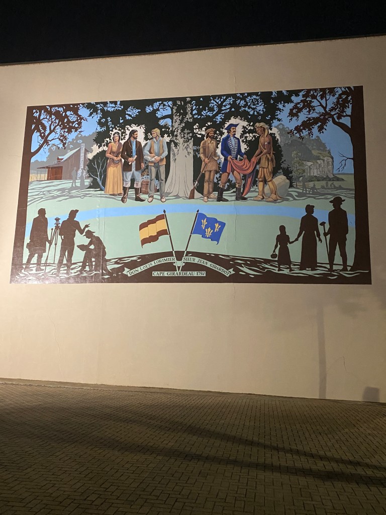
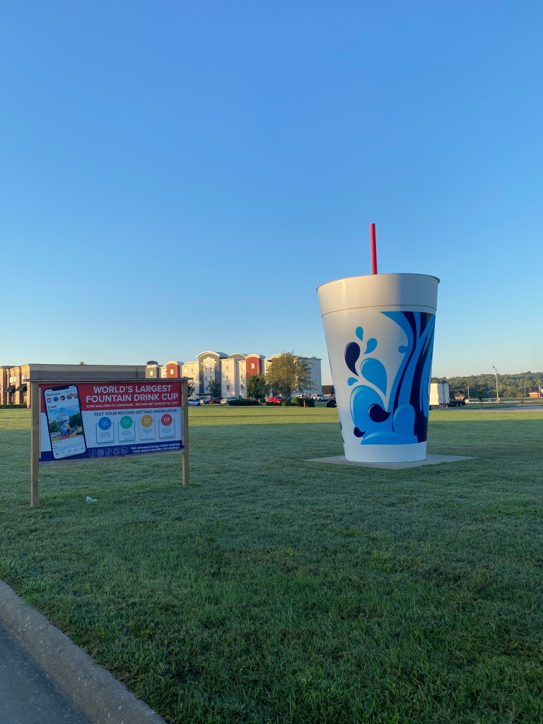


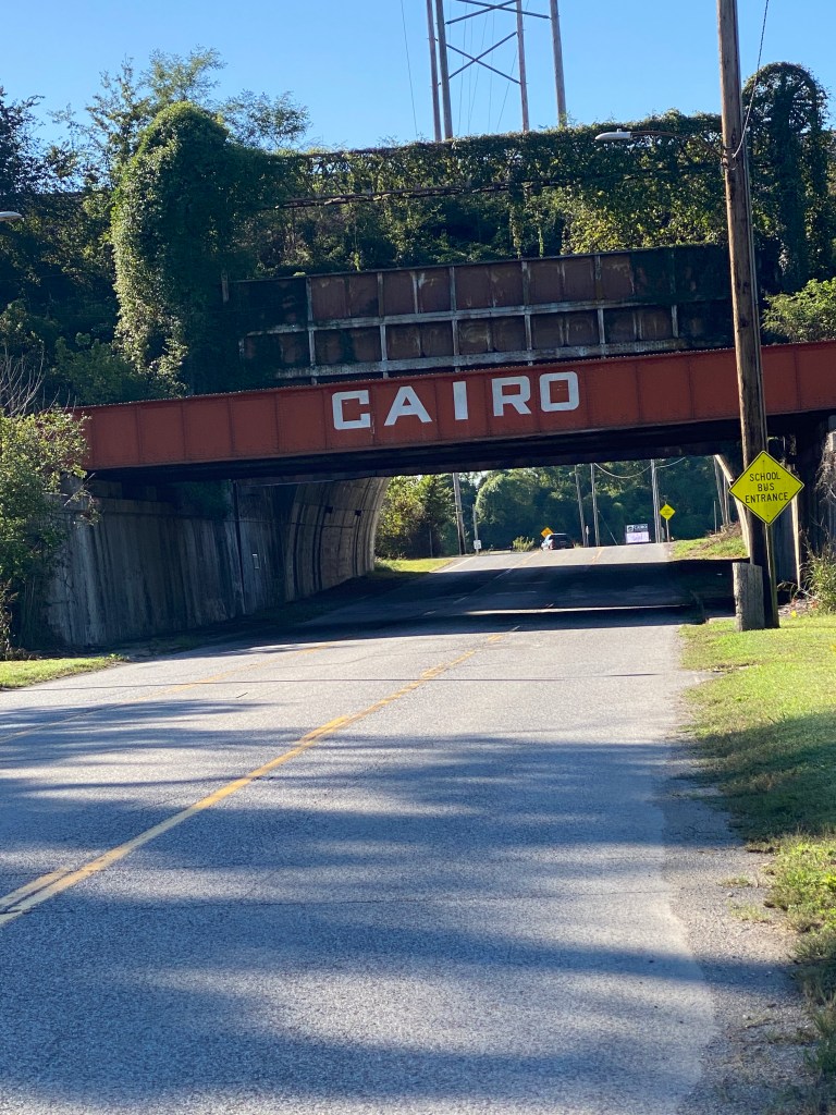


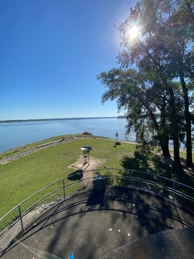


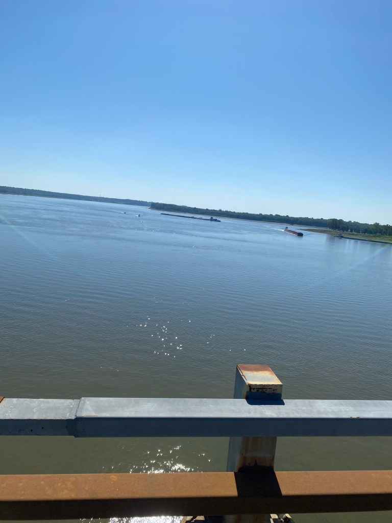
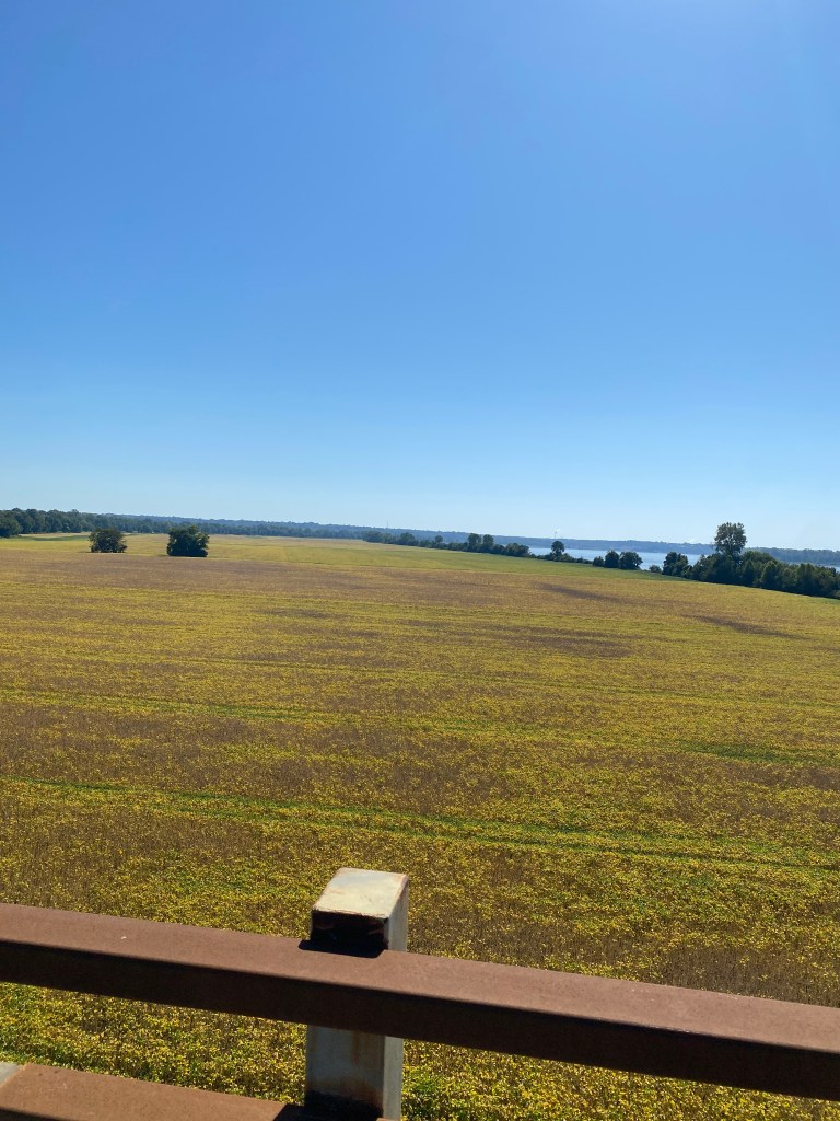
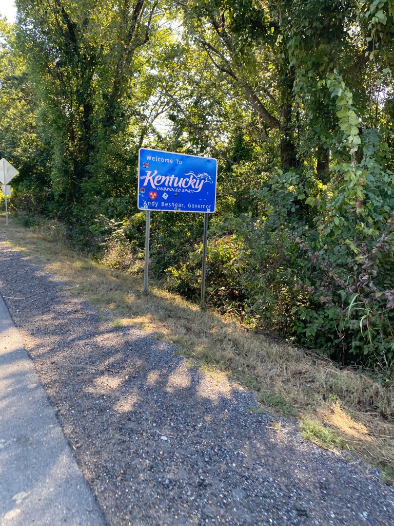
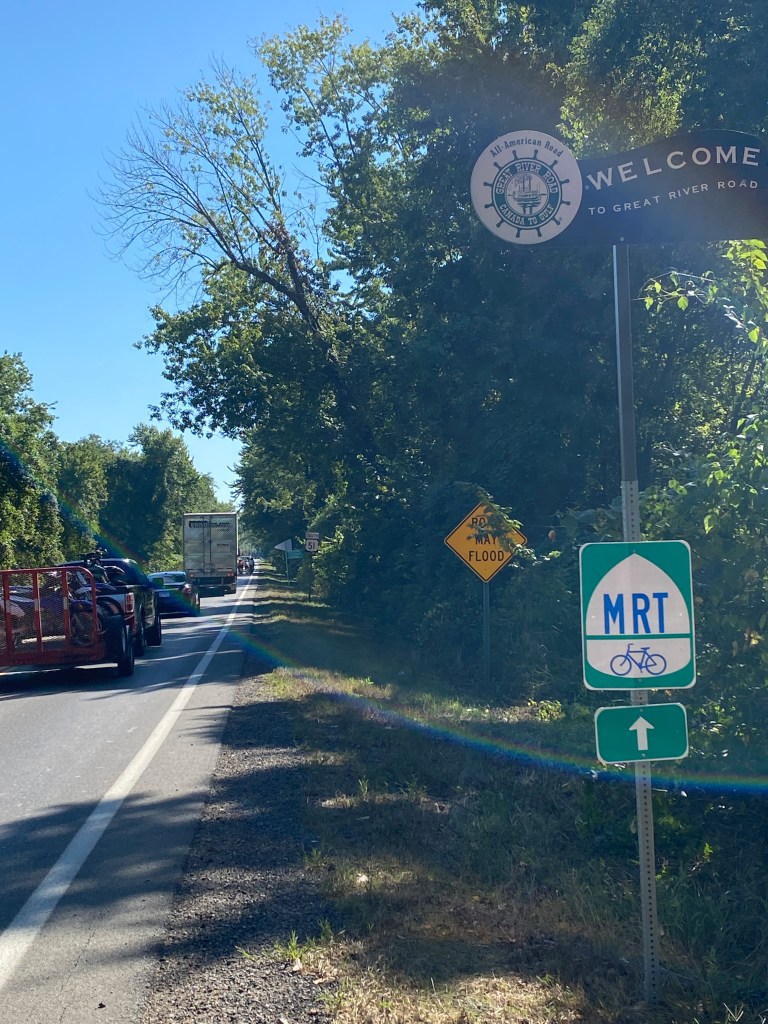
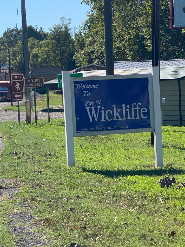


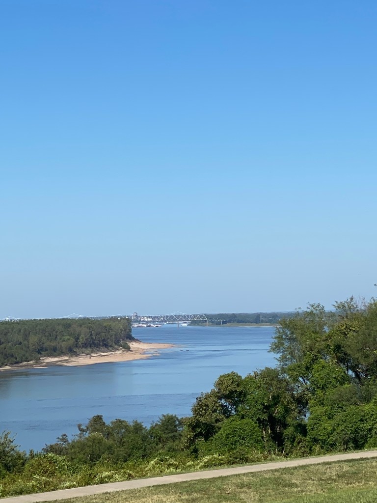


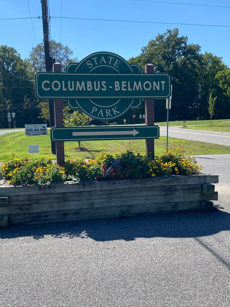


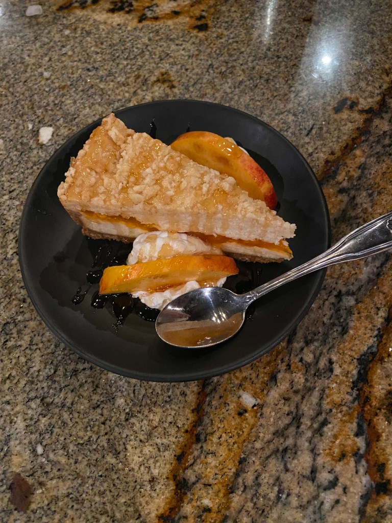
MS River Day 22: Union City – Covington, TN
Awake before the alarm. Not sure if the heavy foot stomping above played a role but definitely precluded a return to slumbering. Only push-ups before heading down to breakfast. The kitchen staff take the start time seriously as the swing up overhead door was lifted precisely at 0630. Not quite a spartan buffet but lacked much of the variety found at other hotels. Initially the juice dispenser only worked for apple juice. The orange juice looked more like lemonade and the cranberry juice was plain water. OJ was subsequently fixed but never retried the cranberry juice. No time for dawdling as bags were expected at the van by 0715 and rolling away at 0730. Two of the six climbs came early but were short, gentle, low-grade climbs. Legs were very appreciative of a flat day. Quads were feeling the nearly 200 miles covered in the previous two days. Road surfaces were decent but not much of a shoulder for the first 40 miles. Drivers were far more patient than those in Missouri. A brief chase by a bulldog on Shawtown Rd but wasn’t a serious threat. Ahead of the van at the first water stop at mile 18 and kept rolling. Did take a couple of pictures of an area covered in vines, kudzu I think, and an odd water tower with cellular antennas? A great morning for cycling; comfortable temps, good road surfaces, minimal traffic, and good views of the countryside (not just farms). Ahead of the van to the second water stop by a couple of minutes. A new crop – cotton. Refilled the water bottle, had a banana, and off to the lunch stop. A couple of turns to get through Ridgely, then Levee Rd which paralleled a levee before turning onto to TN-181 for the next 31 miles. The entire length of the road is within the flood plains of the Mississippi, Obion, and Forked Deer Rivers but only the last one is visible from the road. Pavement was a little rough to start but then was awesome: smooth wide shoulders, didn’t pass through any towns; thus, minimal traffic. Winds were favorable and enabled a Zwift Robo-Pacer Maria effort to sustain speeds above 21 mph. Only things missing were fresh legs and a less sensitive undercarriage. Four miles ahead of the van at the lunch stop. Later learned the evil tire spirits were wreaking havoc on Newps, Alaska, and Drummer requiring repair assistance from both GF and Captain. Limited the out and back extension to 12 miles even though didn’t pass everyone. Continued on arrow straight TN-181 after lunch until a light bump on a named bridge (don’t recall the name) over an unnamed river (later learned it was the Forked Deer River) followed by left hand bend onto TN-88 East (into a headwind) for six miles. The same Maria effort now generated only 16 mph. The spikey 16-mile section after the first, post-lunch water stop was more challenging than it should’ve been. A couple of the 4 climbs were longer and steeper than the first two of the day but nothing intimidating. Legs were cooked. Temp were in the mid 80s and there wasn’t much shade. Final water stop was at Cleveland Park in Ripley, less than 15 miles from the hotel. The winner of the worst section (road surface condition) of the ride was shortly after leaving the last stop on Washington St and Chicken George Trail from Ripley, through Henning before ending at US-51. The runner-up section was on Edith-Nankipoo just before the final stop. US-51 was the reward for surviving the two previous stretches with a wide, mostly smooth, clean shoulder, and a tailwind into Covington. Arrived at the Holiday Inn Express about 10 minutes before the van. Walked to dinner at El Presidente Mexican Restaurant. Ordered the gimmicky La Anoconda – a 3 ft chicken, steak, beans, rice, onions, jalapeno, sour cream, and guacamole burrito. The size was impressive, even had its own wavy plate but the quality of the ingredients was disappointed. The steak and chicken were tough and overcooked and there wasn’t much contained within the dozen or so flour tortillas. Ate a little of the tortillas and over half of the stuffing with a box and aluminum foil for the remainder. Will put in the cooler for lunch tomorrow on our way to Memphis followed by the off day. Awarded temporary custody of the Tour’s flock (Daphne, Floyd, and Russel) at dinner.
RWGPS data: 98.3 miles, 2579’ elevation
Actual ride: 111.28 miles, moving time 6:07, total time 8:00
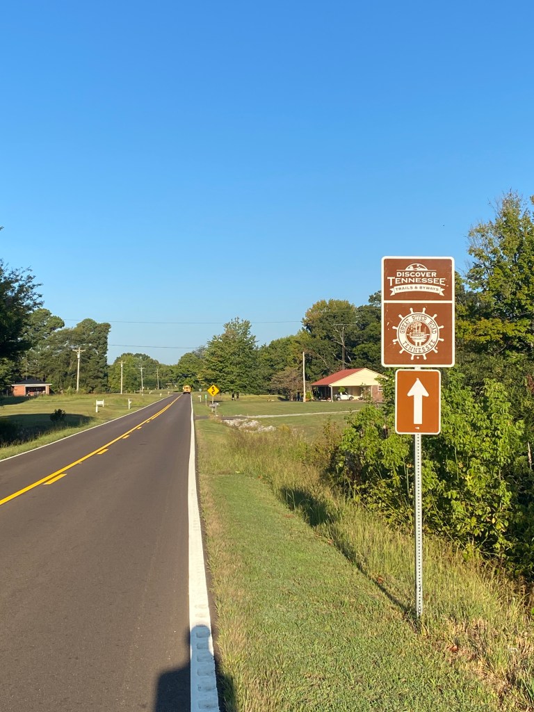


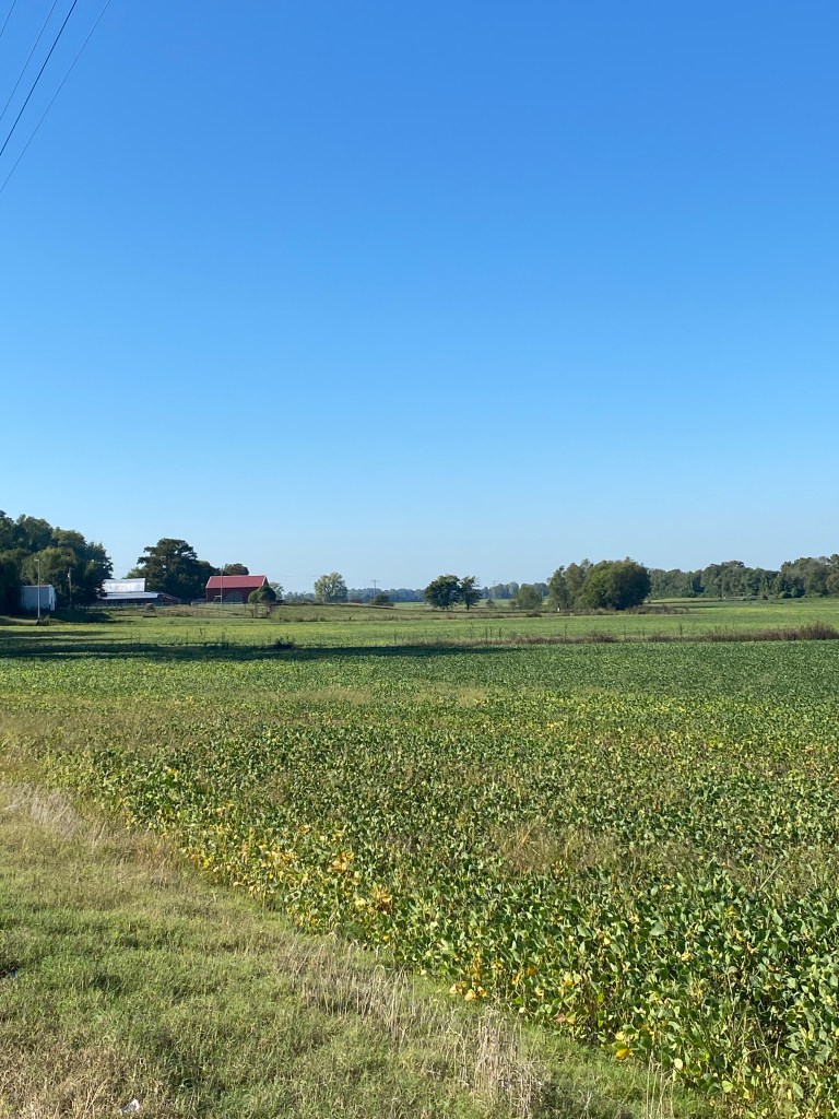
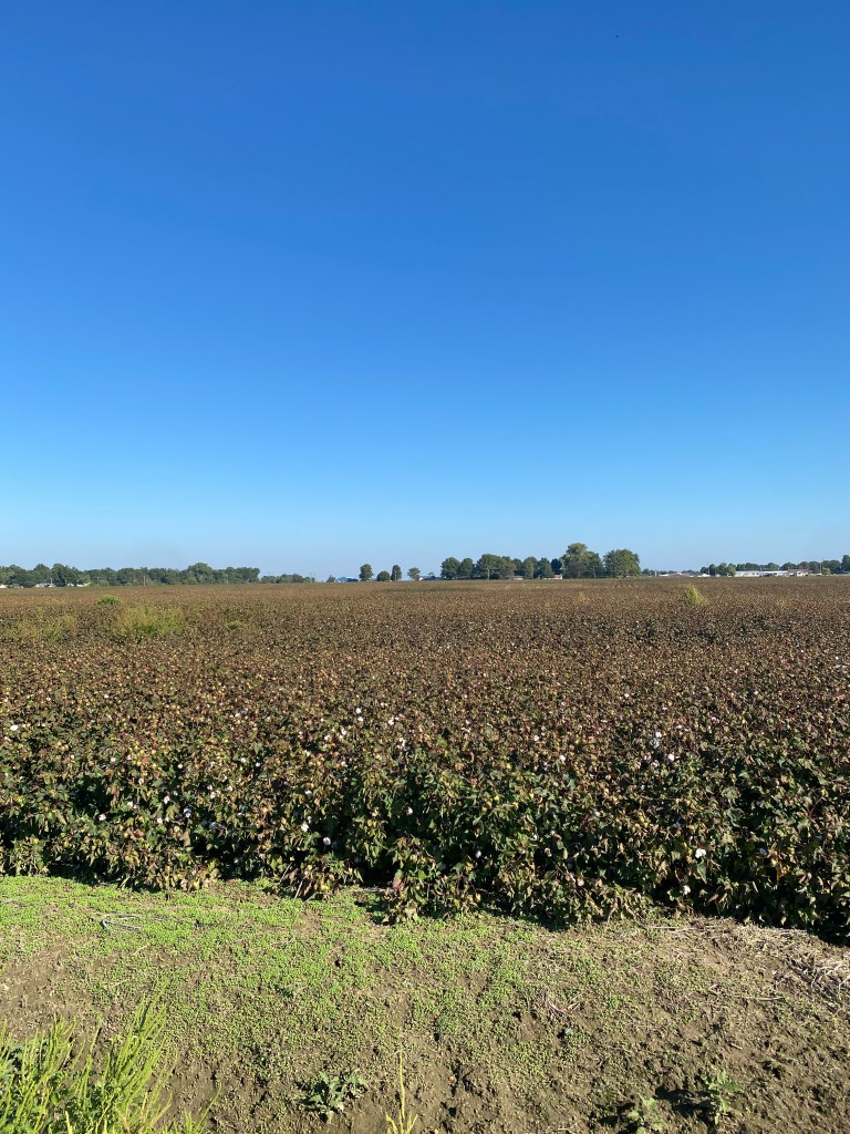


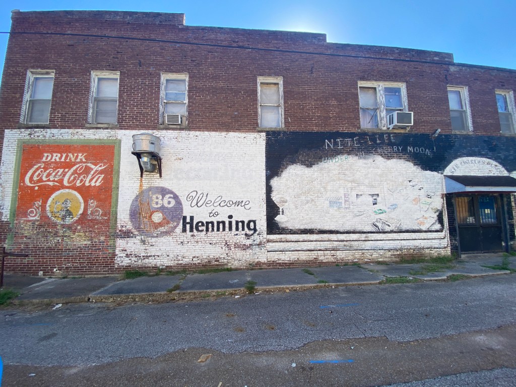

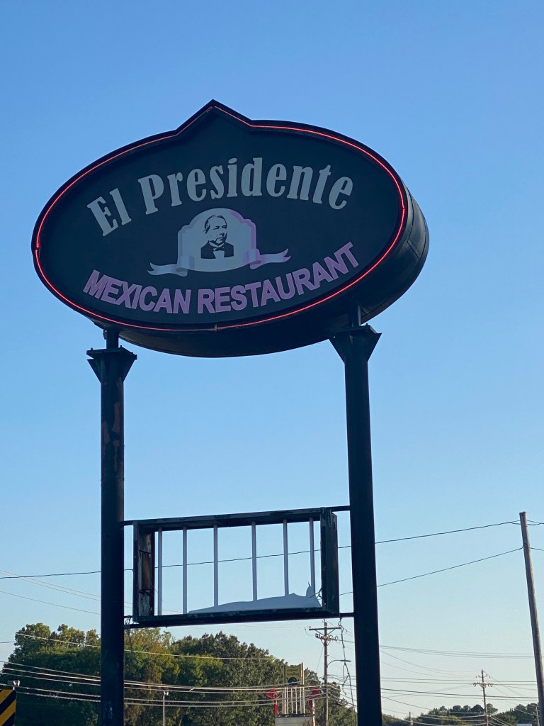


MS River Day 23: Covington – Memphis, TN
Waku-up at 0600. Another day of no strength or core activities. Beginning to feel like a slug in that respect. Planned easy day on the ride into Memphis and the last day for Newps and GF. Seven departed a day earlier – nagging injuries prompted the accelerated departure date. Sporting the Epic Mississippi kit (with matching socks now) in recognition of those leaving the tour. Daphne was secure in the top tube bag while Floyd and Russell were secured on the front side of the handlebar bag as Newps led the parade eastward before making a square U-turn heading northwest. Another great weather day – comfortable temperatures and minimal wind. Legs were dead from the start; out of the saddle pedaling as uncomfortable as it’s been in quite a while, probably since day 2 of the first Grand Randonnee. Quiet, rural roads with minimal traffic made for a great morning on the bike. Not many interesting or captivating sights (soybean, corn (stubble and full), and single cotton fields, pockets of kudzu, and contributory places to the Civil War that no longer exist (Randolph, and Ft Wright) but still very enjoyable. Peaceful. Rotated positions with Floyd in the top tube bag and Daphne joined Russell at mile 22 on the handlebar bag. Three climbs today but the hardest one didn’t make Garmin’s list. Maybe it was too short, but the double hump climb had pitches of 13-15% in each rise. Definitely a test for sore, fatigued legs. Somewhere between mile 25 and 30, Russell went AWOL and flew the coop. Felt horrible, for a moment. Placed Daphne back in the top tube bag and alternated head exposed position for the remainer of the ride. Not going to risk losing another one. Lunch was at the Shelby Forest General Store in the middle of the Meeman – Shelby Forest State Park. Owners are huge supporters of the cycling community and locals and visitors alike were extremely friendly. Still full from breakfast and not accustomed to having two meals around the little longer than a metric century ride but did have an M&M’s ice cream sandwich. First 10 miles after lunch was winding our way out of the Park, mostly on shaded roads to the final water stop. The final 10 miles was a mini-adventure: crossed the Loosahatchie River on the heavily trafficked, poorly maintained N. Watkins, Ave, a little bit of suburbia, an industrial area, a not very busy General DeWitt Spain Airport, a RWPGS navigational glitch (turn off of N 2nd St to a non-existing road or Wolf River Greenway Phase 1) that was quickly overcome by turning onto Mud Island Road that actually connected to the Greenway, along the Mississippi, up and over the Wolf River Harbor on the A. W. Willis Bridge into downtown Memphis, another 3 turns into the parking lot of Springhill Suites. Briefly met Boss Lady who was handling check-in duties for everyone and the new guide, GOO. Belatedly figured out the hotel has 2 different sections requiring the use of a second elevator that’s only available on the 3rd floor of the primary tower. Ferried everything up, quickly showered and off to the local bike shop, Victory Bicycle Studio, to see if they have store-themed kits, with GF who was dropping his bike off for a Bike Flight pick-up, Gambler who was having chain-related issues, and a few essentials for Drummer and Alaska. Had reached out to Victory via their website but never received an acknowledgement or response. Very friendly and helpful staff initially pointed out the current year’s kit (nice but no mention of location) and subsequently previous years’ versions. Found a matching pair of bibs and jersey with Memphis included on both. Walked to dinner at The Majestic, based upon recommendations from the bike shop folks, with GF, GOO, Pilot, Stoker, and LR. Shared smoke salmon and Cajun chicken egg rolls as appetizers and ordered side mixed green salad, half-rack of Memphis BBQ ribs. The meat didn’t quite fall off but it was pretty good. Stopped at Margie’s 901 for two scoops of red velvet ice cream with brownie chunks for dessert on the return walk to the hotel. A nice gastronomical ending.
RWGPS data: 66.5 miles, 2387’ elevation
Actual ride: 71.22 miles, 3363’ elevation, moving time 4:13, total time 6:16


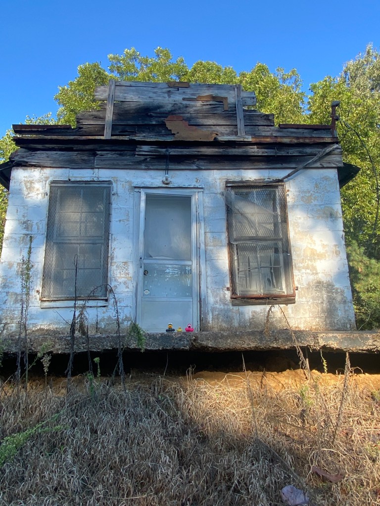
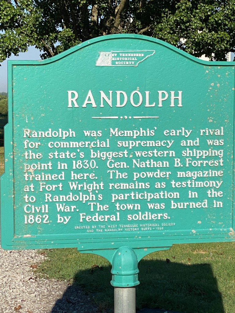


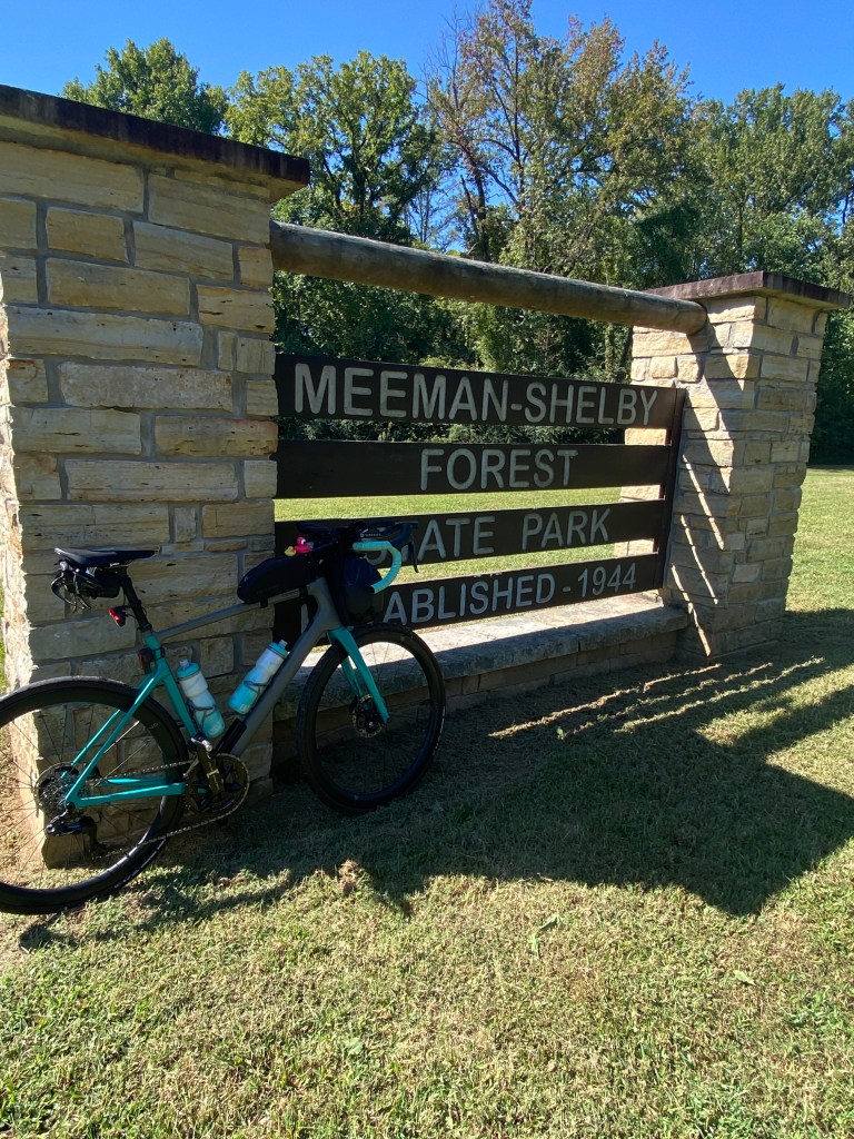


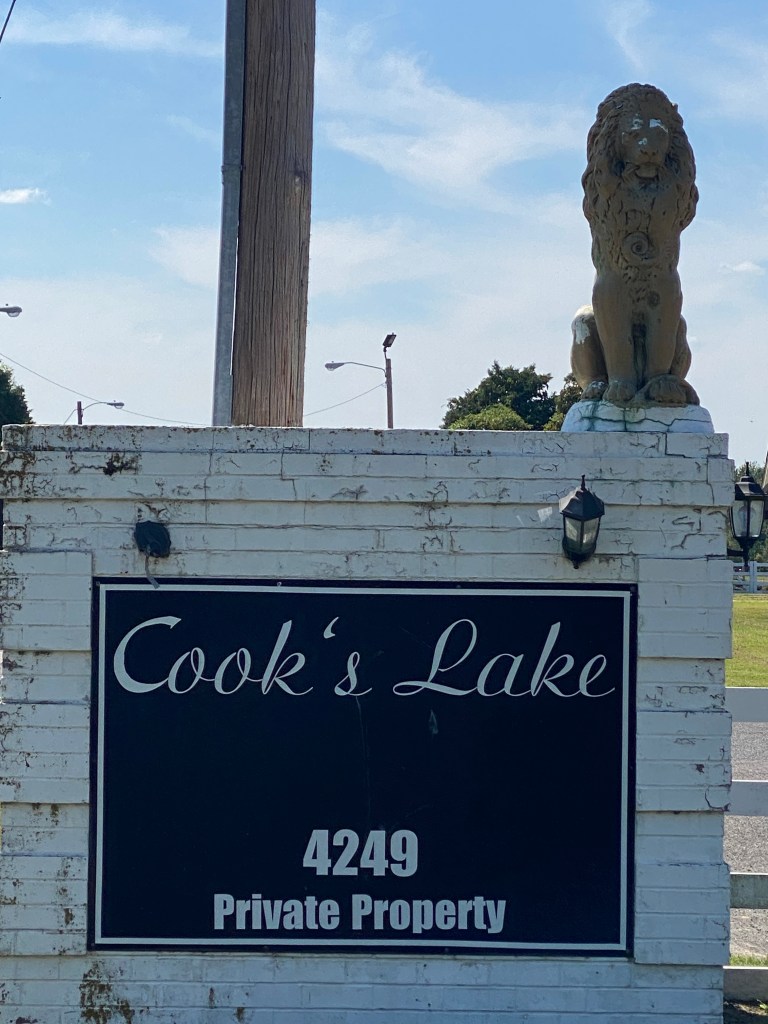
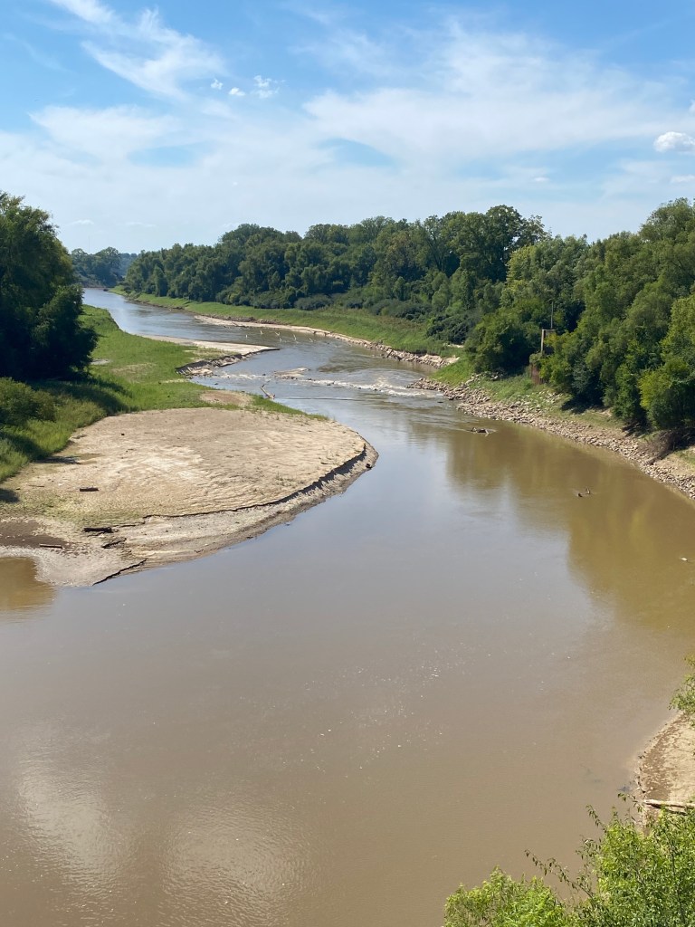
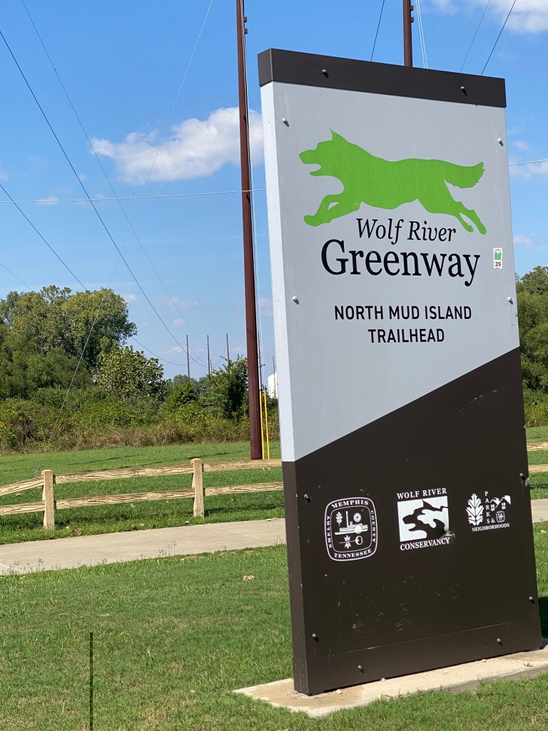

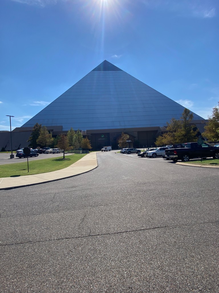

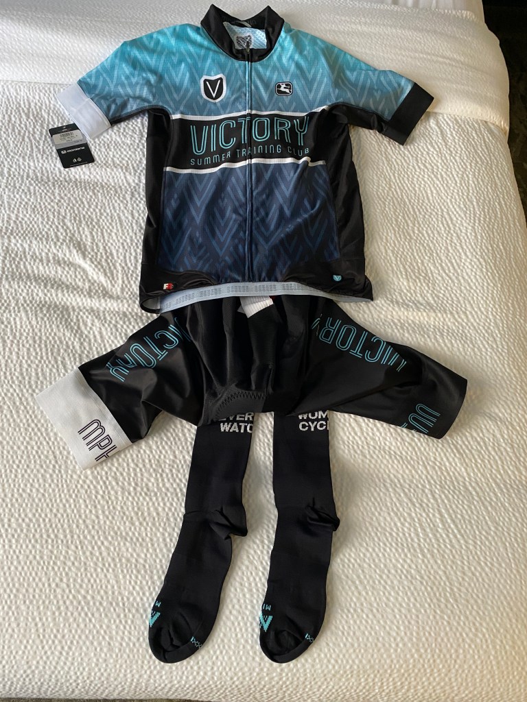


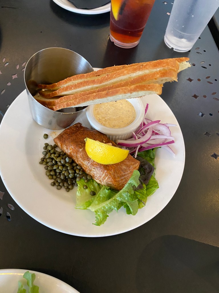

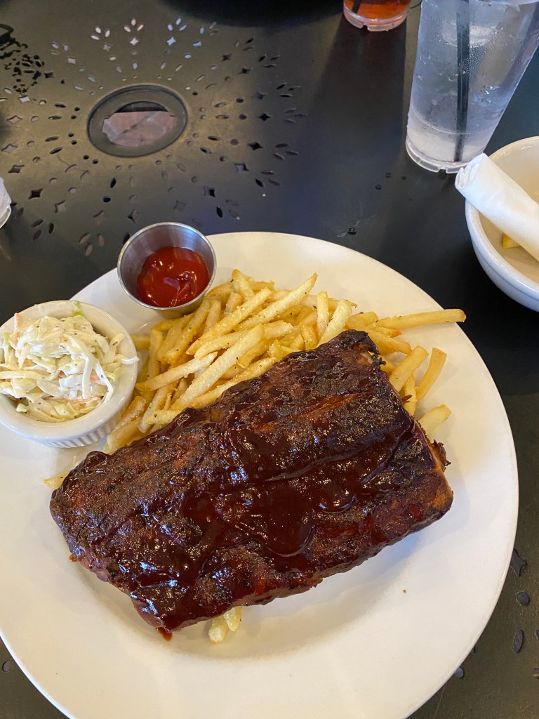


MS River Rest Day #3: Memphis
Alarm at 0605 for a short, easy ride. Found an 18-mile route on RWGPS that starts and ends less than a half mile from the hotel. Figured out how to change the units from BAR to PSI on the Silca Elettrico Mini inflator and made sure the tires were at 73 PSI. Headed south on Riverside Dr and onto the Big River Crossing, a nonmotorized vehicle only bridge over the Mississippi, into West Memphis, AR. Cycled through the largest semi-truck hub ever. Rigs parked everywhere; gas stations, garages, streets, etc. Made a slightly crumpled upper right corner box around I-55 then back on the trail and over the bridge for two more MS River crossings. Easy effort the entire way although returning eastward into the sun made seeing the Garmin a challenge. Besides the semi hub, not much traffic on the roads at that time of morning. Showered then down for breakfast, did a load of laundry (free of charge), hung them up to dry then off for a 4.3-mile walk to the Peabody to see the ducks, down Beale Street, and over to Mud Island. Again, not a lot of either vehicular or pedestrian traffic. Too early not an explanation as it was a mid-afternoon walk. Only saw 3 cyclists, one jogger, and 2 other walkers on Mud Island. None of the concession stands or stores were open. Worked up quite a sweat in the upper 80s walk in the sun. Returned to the hotel for another shower before walking down to Flight for dinner. Original plan was to go with Alaska and Doc to McEwen’s but learned later they have a business casual (no shorts or jeans) dress code. Disappointed not having company but had the best meal on the Tour so far. Flight doesn’t limit the name-sake approach to liquid enjoyment. They take tapas, small plates, to a whole new level. The menu offers single appetizers, salads, and entrees but also groups of 3, or more, for sharing or sampling more items. Ordered salad (harvest, iceberg wedge, and southern peach), soup (lobster bisque, soup of the day (turtle), and seafood gumbo), and fish (Louisiana redfish, Chilean sea bass, and stuffed flounder) flights. Planned on walking further down Main St to Margie’s 901 to try a different flavor of homemade ice cream until other tables were being served dessert. Could this get any better?! A separate menu details the flights of cocktails, desserts, and dessert wines. Unable to select only 3, created my own flight of 4 (blueberry strudel, the “peanut shoppe” brownie, pecan crusted cheesecake, and apple walnut cobbler). Everything was fabulous and consumed way too much. Would definitely return as the menu does change.
Walked: 4.33 miles, 17 flights of stairs, 14310 steps, moving time 1:36
RWGPS data: 18.33 miles, 381’ elevation
Actual ride: 19.03 miles, 558’ elevation, moving time 1:14, total time 1:18


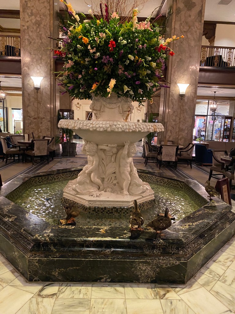


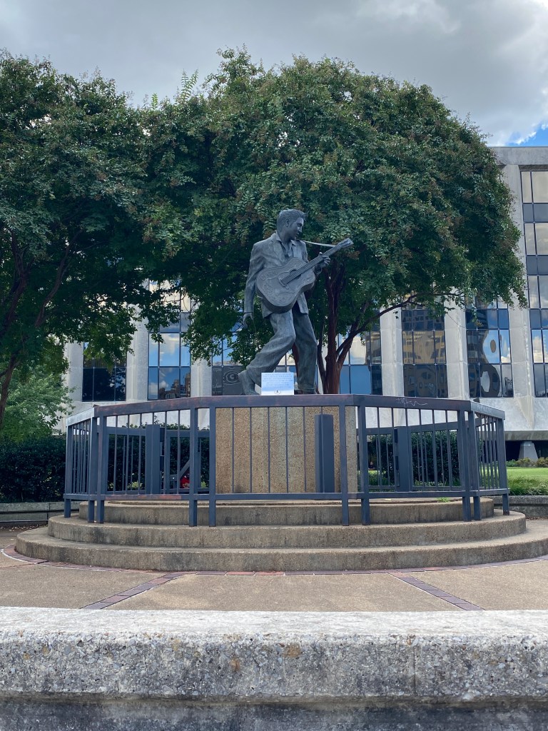
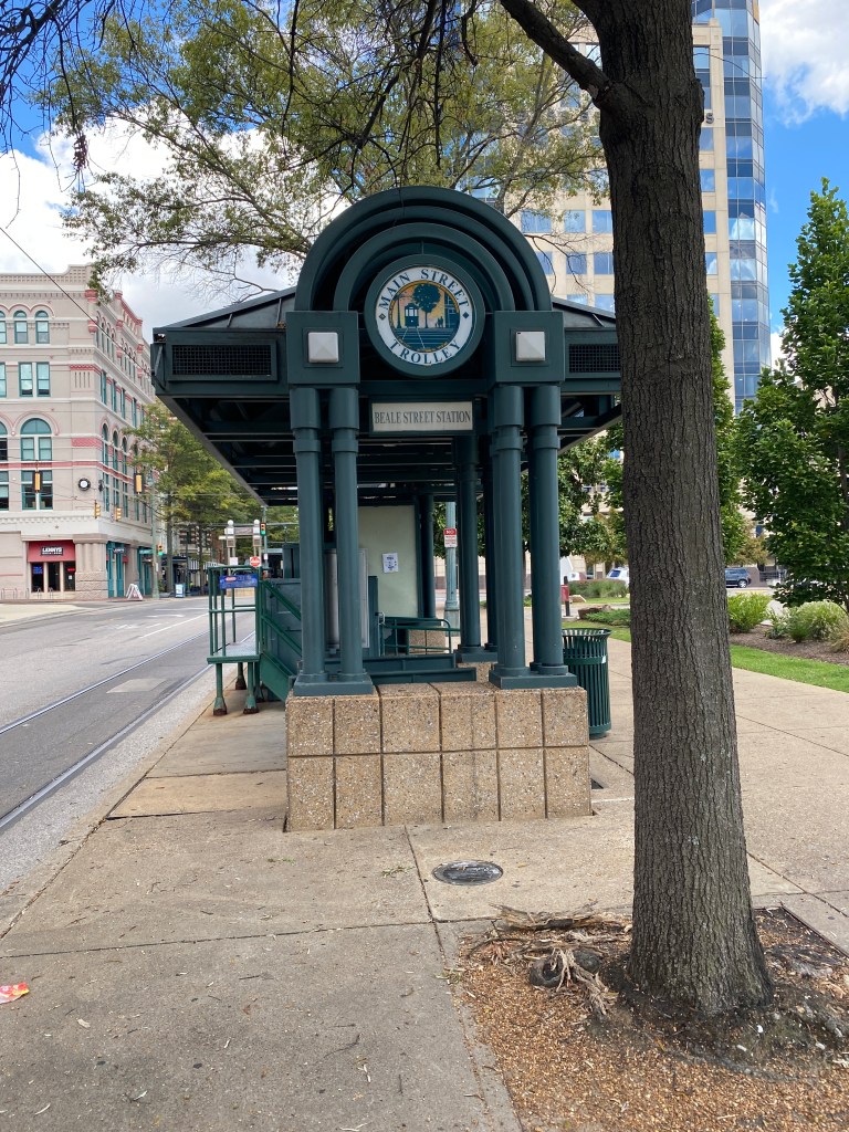

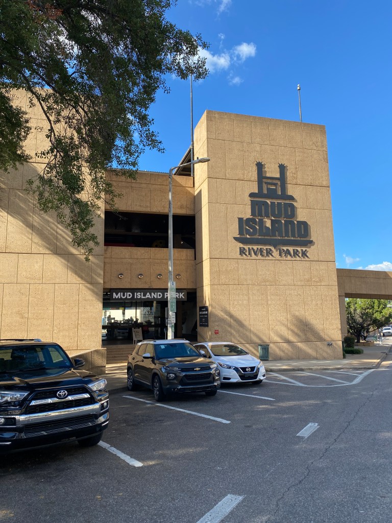
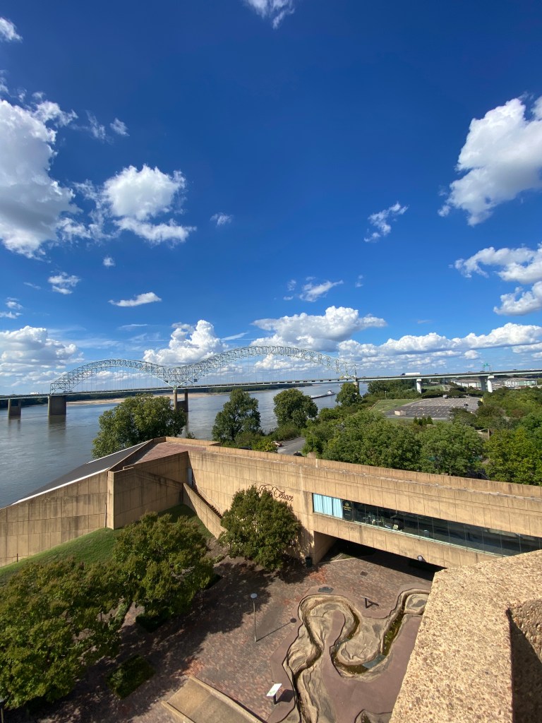


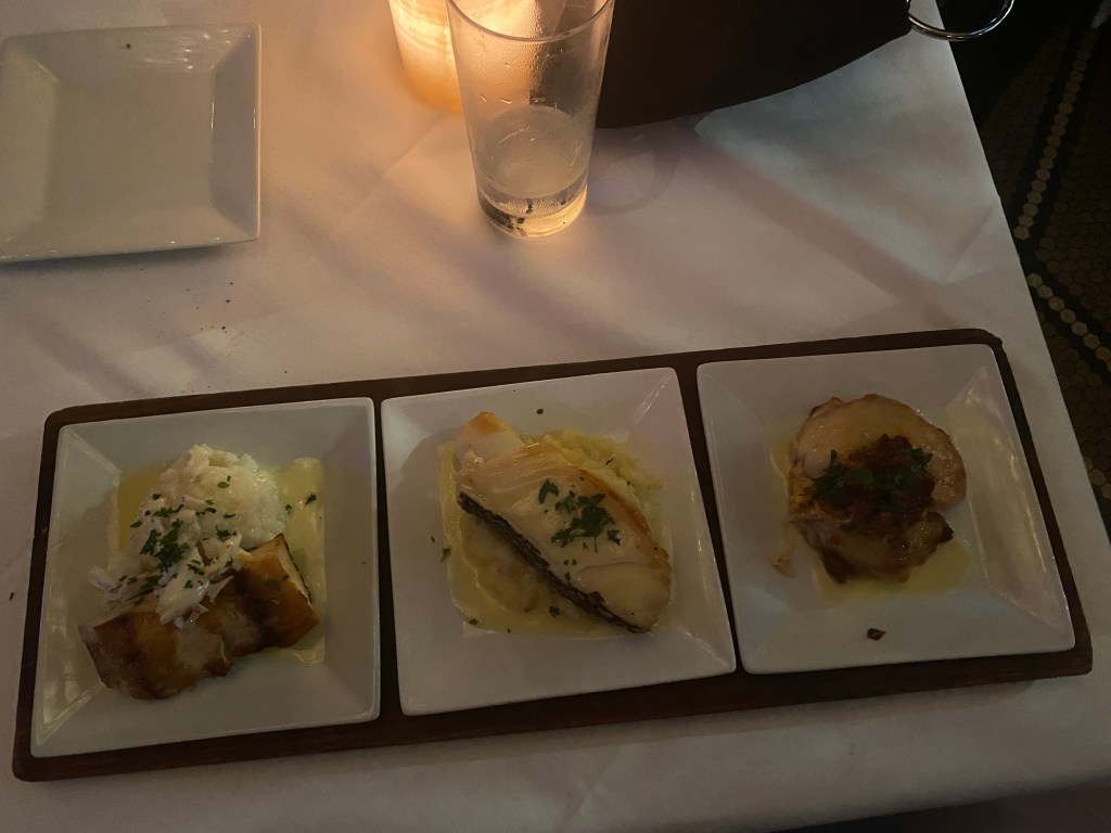
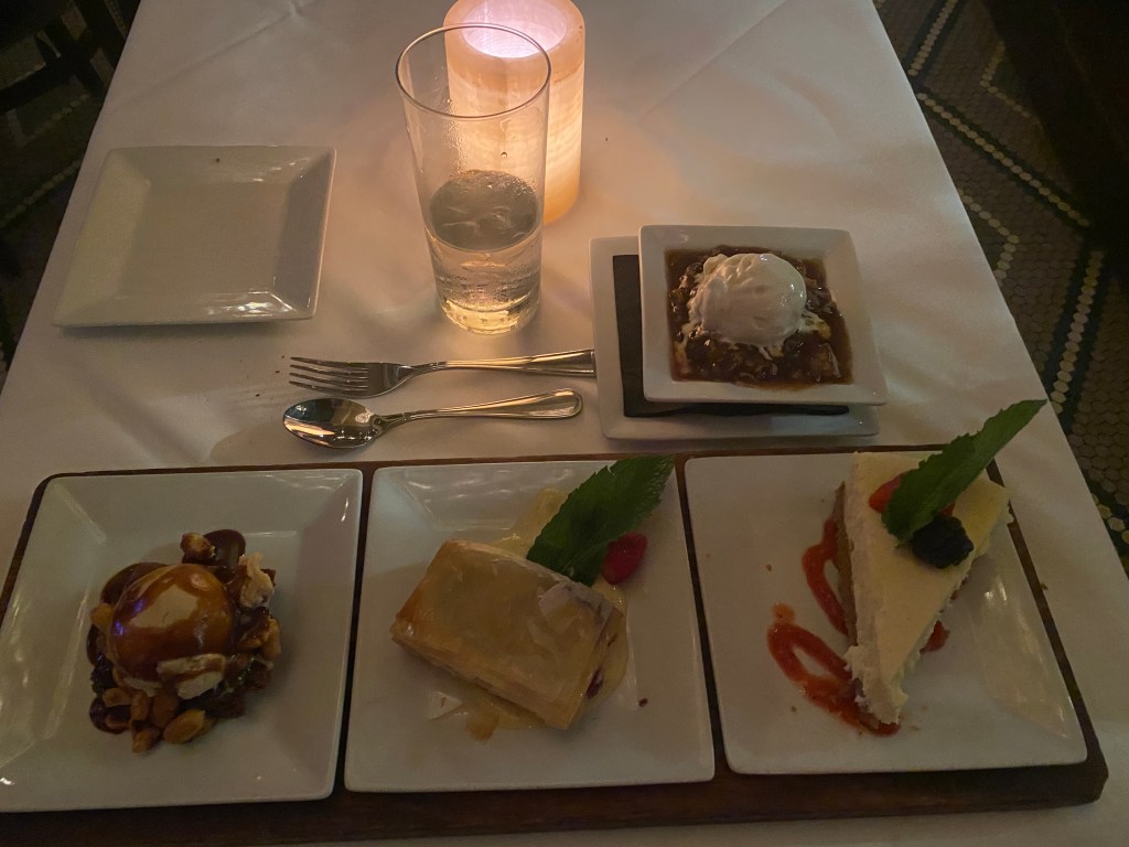
MS River Day 25: Memphis, TN – Helena, AR
Alarm strummed at 0605. Packed a few things that continued to air dry overnight then down for breakfast. Another no dawdle morning as buffet didn’t open until 0630 but bag drop was 0715. Carried bags and bike down the stairs to save time and multiple elevator waits and rides. Yesterday’s route along Riverside Dr to the Big River Crossing Bridge was preferable to the street light heavy, pothole filled, and busy Front Street approach. The gate to access the bridge was closed and locked with a new sign, wasn’t there yesterday, stating, “Big River Crossing will be closed until further notice.” Conjecture was closure related to the President’s order to send National Guard troops to Memphis. Another ridiculous moment for the ever-popular administration. A local indicated I-55 had a sidewalk but didn’t recommend using it. Went to investigate only to turn around when approaching the on ramp because pedestrians and nonmotorized vehicles were prohibited. Returned to the group which now included GOO and the van. Loaded all the bikes on top, removed the front wheel and made other adjustments to the tandem to lay it horizontal in the trailer. Repositioned gear and luggage and road in the van across the MS (Gambler and Harmonica counted it in their friendly wager on total number of MS River crossings during the ride) into the eighth state, Arkansas. Unloaded, restored the tandem to rideable, and repositioned gear and bags to continue the ride. Lost over 2 hours of cool temp cycling time. Strong wind from the south made that direction of travel unpleasant but westward and even north on occasion were pretty nice. Unfortunately, rather challenging getting to New Orleans traveling in either of those directions for very long. Beat the van to the first water spot and didn’t stop until arriving at the second water stop a few minutes ahead of the van. Only Pilot and Stoker made it to the second water stop before continuing to the lunch stop. No place to hide from the wind or heat all the way to lunch in Marianna, AR, including a 12-mile out and back extension racking up another century day. Cotton now the predominant crop with one field extending nearly 2 miles along Route 79. Wonky Garmin Edge added extra distance locating the lunch spot. Ate mostly fruit and was joined by a recently returned local who has 2 massage therapy clinics and is in the process of opening a third in his hometown. The bulk of the remaining 23 miles were through the Mississippi River State Park and St Francis National Forest. Had a blast on most of it: short, punchy climbs, sweeping descents, mostly shaded and minimal vehicles but needed to remain vigilant as motorists were enjoying the twists and turns (and mostly ignoring the 35 and 25 mph speed limits), too. A little reserved on the descents fearing the pavement would become gravel. Spidey sense was correct, but route required a turn onto a gravel road – thankfully only 4 miles long. Way too much tire pressure for the mostly hard, rocky, but not chunky, surface. Exited the Forest directly into Helena and promptly had consecutive cycling horror scenarios: a car blew through a stop sign at an intersection, turned, headed the same direction forcing aggressive breaking followed shortly be the sounds of a deep barking approaching quickly from behind. A quick acceleration elevated the HR again but never saw the beast. The final turn onto the street with our hotel, the Edwardian Inn, was poorly maintained, red brick before transitioning to pavement, and passed the spot where the Civil War era Fort Curtis stood before reaching the hotel – ahead of the van. Dinner was take-out from the Downtown Bar & Grill: catfish, fries, and coleslaw. Standard fare and no photos.
RWGPS data: 89.8 miles, 2191’ elevation
Actual ride: 102.98 miles, 2992’ elevation, moving time 6:10, total time 8:43

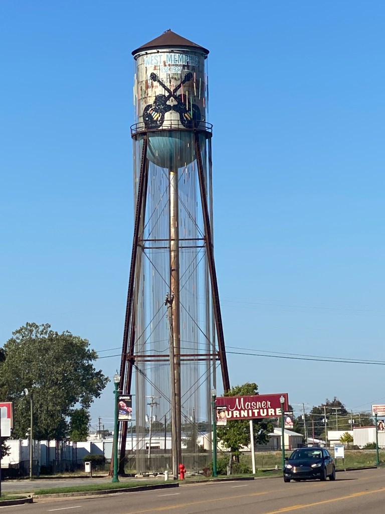


MS River Day 26: Helena, AR – Greenville, MS
Standard wake-up at 0605, push-ups, repacked both bags, leaving toothpaste and toothbrush, and carried them downstairs for loading into the van before scheduled breakfast at 0630. Not on time but a very good homemade buffet of scrambled eggs, waffles, and fresh fruit. Enough food remaining for a second trip through the line. The ladies led the departure eastward into the glaring sun for another bunched group river crossing (duh, the Mississippi) with van chasing into the penultimate state, Mississippi. The name Mississippi was adapted by French explorers from the Ojibwe language, Misi-ziibi, meaning Great River or Gathering of Waters. Several Native American tribes lived along the river for thousands of years and referred to it as the “Father of Waters.” The state of Mississippi was named much later after the river. The bridge was fine but the first couple of miles on Route 49 in MS was terrible. Thankfully, turned right onto MS1 South for 55 miles then a left bend in Rosedale for another 31 miles. Not my favorite kind of route. Prefer to have more turns as that psychologically breaks up the distance into more palatable, bite-size chunks. Road surface was decent but no shoulder for most of the way. Drivers were considerate and moved left when passing. Today was a planned, low power century, mostly out of necessity. Legs were shot, quads had no endurance, and undercarriage wasn’t comfortable on the saddle. Gambler was full of energy after his Yankees eliminated the Red Sox in their Wild Card Series and drafted behind until the first water stop. Saw a bright yellow plane spraying a cotton field along the way. Lots of standing and repositioning on the seat afterwards. Not much to see on today’s route. Cotton is the king of crops along MS1. Harvest time too which added more semi traffic. Wind was mostly a cross wind from the left but occasionally became a headwind from either slight turns in the road or changing wind directions. We paralleled the Mississippi all day but rarely saw it as either levees or tree lines blocked the view. Added a 4.5 mile out and back before lunch and a little extra at the end to break the century mark for the second day in a row. Staying at the not-for-profit Hotel 27 on Main St in Greenville. Showered then a little down time before walking to the Downtown Grill for dinner. Had a side salad, blackened redfish on orzo and a baked sweet potato. The small town and numerous vacant buildings on the walk to the restaurant didn’t diminish the quality of the food at all. Very good, even had live entertainment during the meal. Stomach a little out of sorts before dinner and experienced fair bit of GI distress afterwards. Not an ideal way to end the day.
RWGPS data:95.1 miles, 870’ elevation
Actual Ride: 100.29 miles, 1385’ elevation, moving time 5:48, total time 7:34


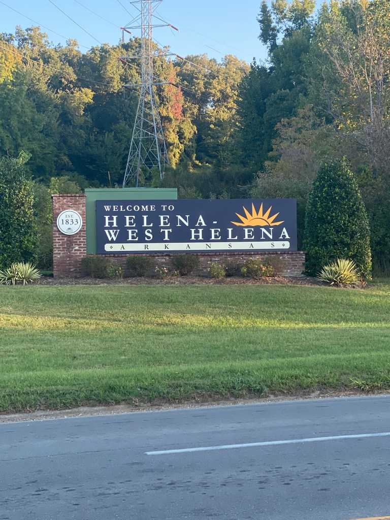
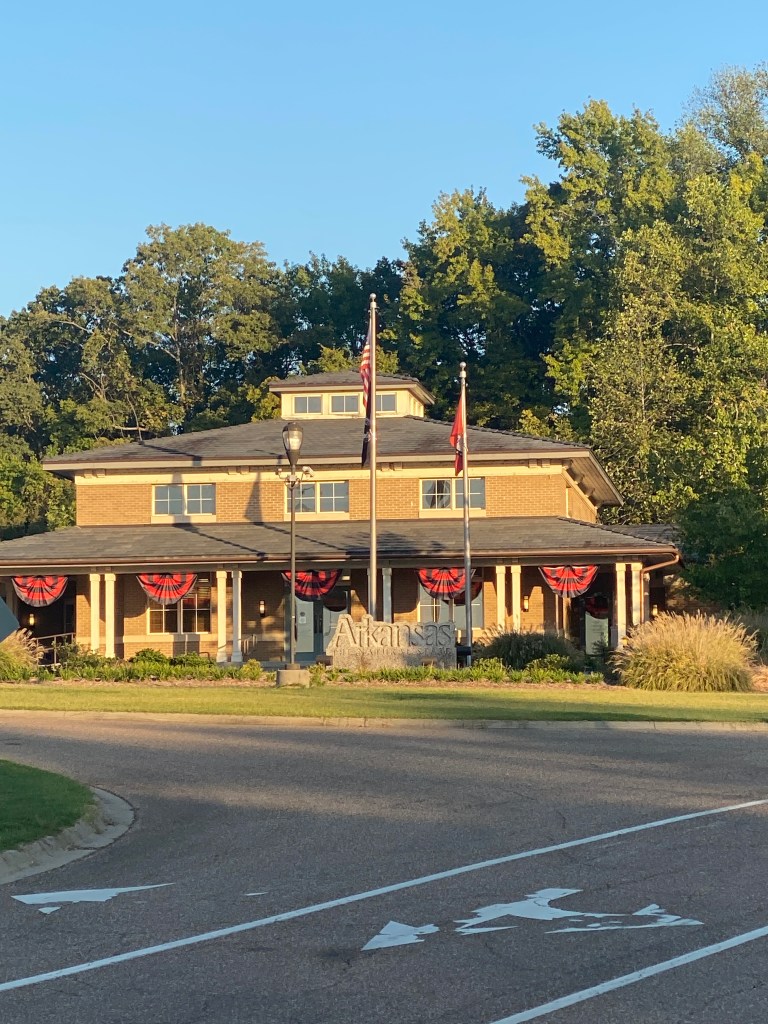

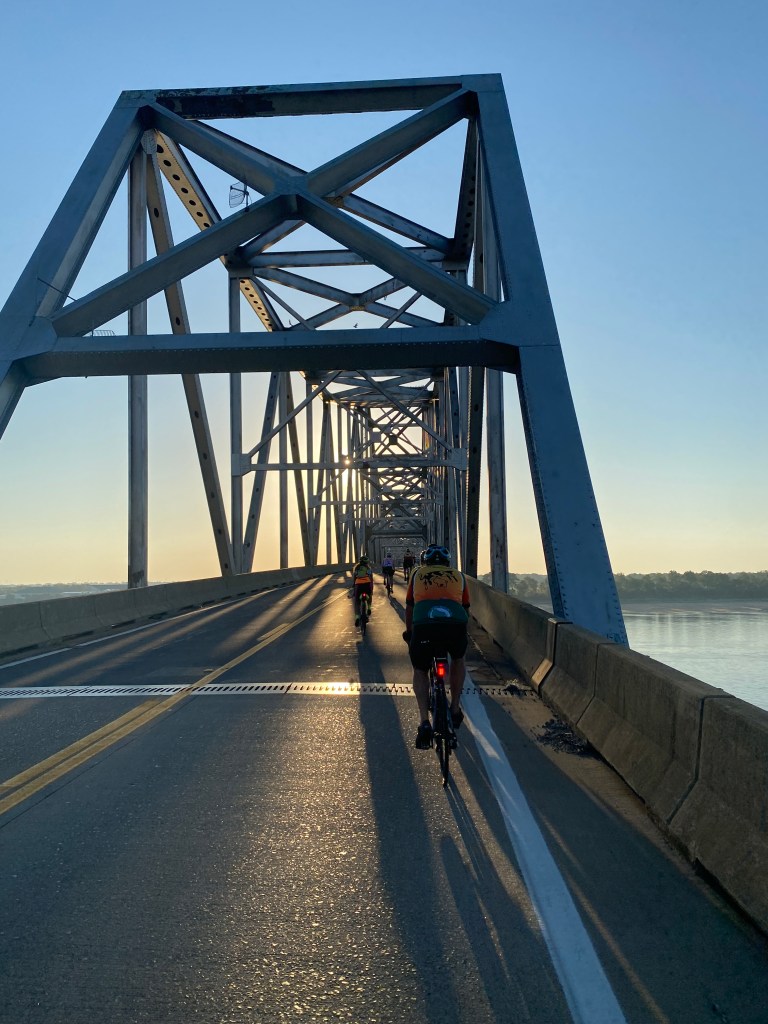

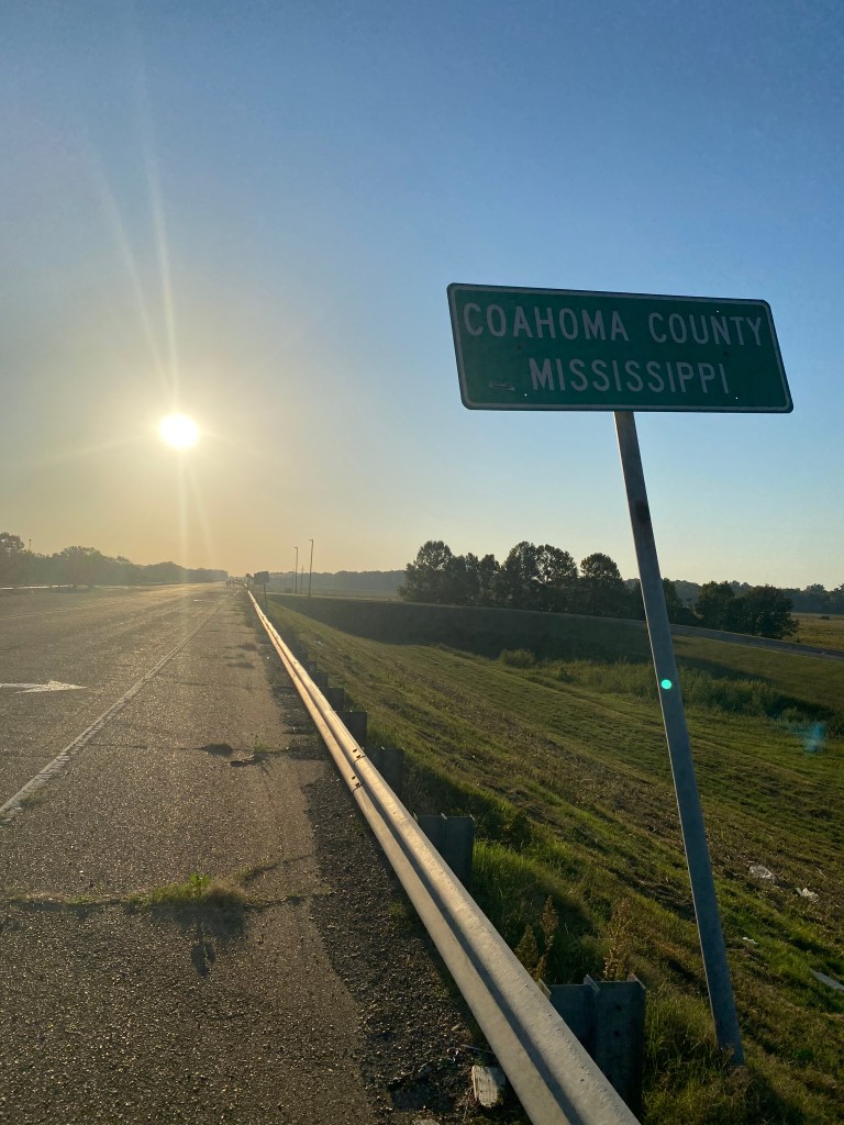
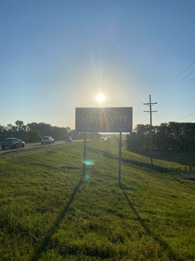

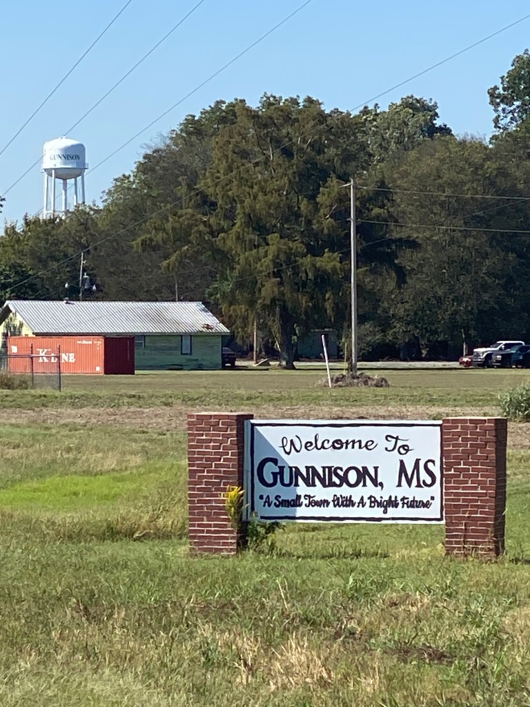
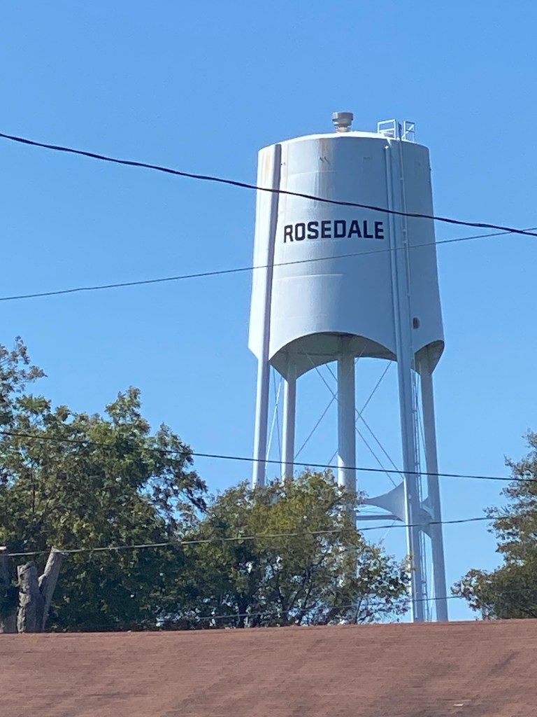
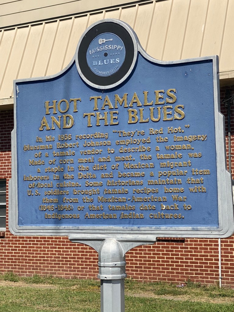
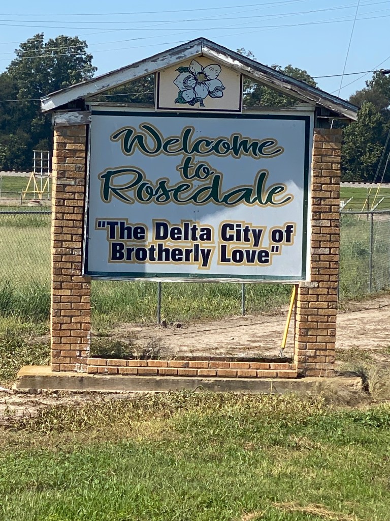
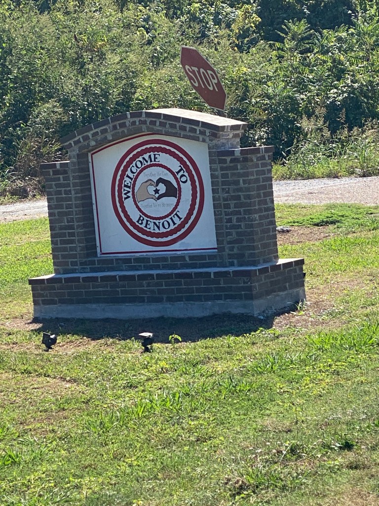


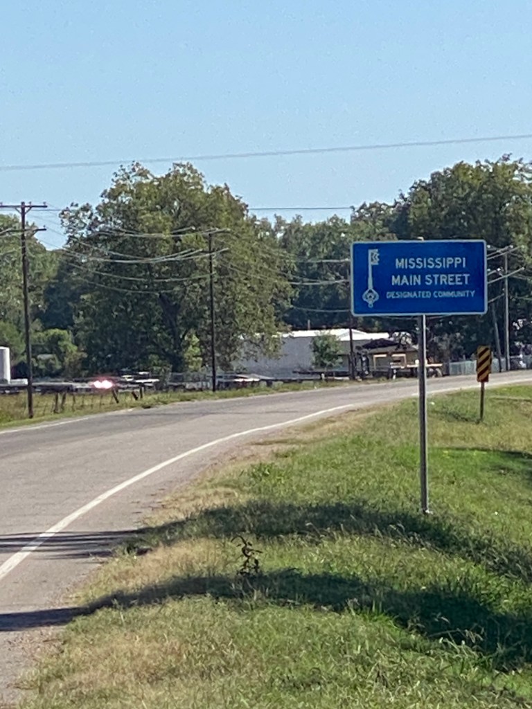


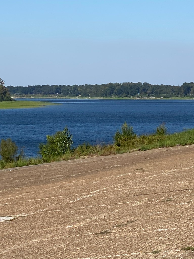


MS River Day 27: Greenville – Vicksburg, MS
Standard alarm at 0605 but not a standard night. Stomach a little out of sorts before dinner, more uncomfortable after dinner, and most unhappy overnight. A couple of extended visits to the bathroom as bowels executed an unmedicated cleansing. Awoke weak and exhausted with no energy. Today’s plan: just survive with an even lower power output than yesterday. Bags carried down to van by 0645. Breakfast didn’t open until 0700 and only managed a cup of orange juice and an apple at breakfast. Not quite nauseous but unsettled. A mini revolt with the breakfast offerings at the hotel. Didn’t pay close attention but folks weren’t very pleased with the spartan selection. GOO made a run to a nearby McDonald’s that seemed to mollify the restless natives. Rolled away from downtown on a meandering ride over terrible pavement and a reroute around a collapsed barricade blocking a debris-filled street that looked like it’s been closed for quite a while. Another day of easterly winds with too many bends making it a headwind. Survived to the first water stop at mile 20 but not doing well. Experienced temperature regulation malfunctions: chills at the start which continued as the miles grew, and air temperatures rose. Hid behind Broker and Harmonica for most of the way to the second water stop. Seemed like we traded a smooth, nondescript roadway for a scenic, bumpy road along Lake Washington. Didn’t stop for any pictures along the way but Drummer took a couple of the bald cypress trees on the shores of the lake. Haiing from Canada, she wasn’t familiar with trees that grew in water. Made it to the lunch stop and called it a day. Still felt like either anatomical end could experience an unannounced eruption and had only consumed one banana and 2 small bottles of Gatorade. This marked only the second time to voluntarily stop an organized cycling event (first one for GI problems on a Trek Vuelta Tour the day of Los Machucos climb). Naturally the only day a change of clothes wasn’t in the day bag would be the day needed. Sat in the front passenger seat while others climbed aboard at subsequent rest stops having had enough of the mercurial winds. Unloaded at the Home 2 Suites by Hilton in Vicksburg. Wasn’t up for an extended dinner experience so stayed in the room but Doc and Alaska delivered a cup of warm chicken broth and bread upon their return. Greatly appreciated and easy on the digestive system after a nearly 24-hour fast excluding the apple for breakfast. Watched TV for the first time since the first week of September and saw the Dodgers close out game 1 of the NLDS against the Phillies and OSU trounce Minnesota. In bed a little after 10 pm with hopes of the morrow being a better day.
RWGPS data: 94.0 miles, 972’ elevation
Actual ride: 57.69 miles, 696’ elevation; moving time 3:48, total time 4:31

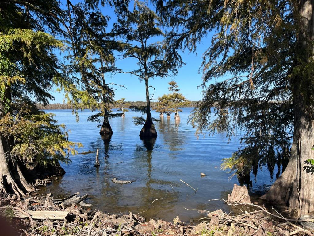
MS River Rest Day #4: Vicksburg, MS
Didn’t set the alarm. Just normal nighttime bathroom visits and rolled out of bed after 0700. Today would be exactly the opposite of John Melloncamp’s line in the “Real Life” – being middle-aged and sitting around my house (hotel room) and watch TV. Ate a light breakfast of toast, banana, and cereal, did a load of laundry (washing machine flashes a cost of $1.75 per load but $2.00 is required), and watched most of the Blue Jays drubbing the Yankees (sorry, not sorry Gambler) in game one of the ALDS. Feeling better but stomach still unsettled. The half mile walk each way to Cracker Barrel for dinner was more tiring than it should’ve been. No pictures of fancy fare but had a cup of potato soup (should’ve been called celery soup), meat loaf (ok), corn (hard to mess that up), seasoned rice (they forgot the seasoning), and a couple of biscuits. To bed early tonight and just survive tomorrow; would be nice if the forecast of morning rain didn’t materialize.
MS River D29: Vicksburg – Natchez, MS (DNS)
Stomach was gurgling before going to bed but attributed it to digestion noises since there wasn’t much consumed during the day. So wrong. GI distressed returned at 0400. Alarm at 0605 didn’t bring good news. Stomach cramps, headache, weak, and chills. Not to mention it was raining. The weather outside was frightful, and there’s not much that’s delightful, there’ll be no riding today, just want it all to go away. Guides decided to delay departure until 10:00 and ferry everyone and their bikes to the Natchez Trace, skipping the first 21 miles and providing more time for the storm front to blow through. Original plan was separate transportation directly to the hotel for me and Harmonica who had a significant fever along with similar GI issues. For some reason that plan was scuddled and new plan was departing at 11:30 and linking up with the van. Not looking forward to spending the afternoon in the van, perused Uber to discover a ride was $81. Seemed a reasonable expense when shared. Intended to arrive in the lobby before the 11:30 pick-up but Chauffeur was early. Asked feasibility of altering plans and driving us to Natchez. She knew Boss Lady because she used to own a B&B in Port Gibson, MS and hosted numerous COLA rides along the Trace. She was amenable to the deviation and Harmonica contacted the hotel to inform them two guests would be arriving early and requested ability to check-in upon arrival while I informed GOO of the changes. Pleasant ride and arrived before 1:00. Had to wait about 30 minutes for the rooms to be ready then crashed, read, and relaxed all afternoon. Symptoms improved enough to build confidence that tomorrow would be a return to the saddle. Walked to The Camp and had a cup of soup and a burger. All nonfood pictures were taken by others along The Trace.
RWGPS data: 85.8 miles, 4278’ elevation
Actual ride: Did not start (DNS)

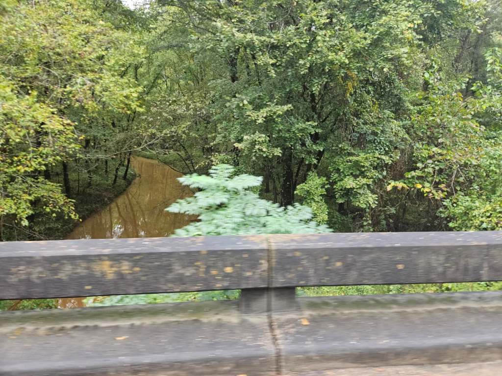


MS River Day 30: Natchez, MS – New Roads, LA
Actually awakened by alarm at 0605. Not insinuating an all-night slumber, what would that be like? but was asleep when the alarm went off. No wee hour intestinal cleansing. Improving but not 100%. No morning exercises before a light breakfast of scrambled eggs, biscuit, and small bowl of Cheerios. Not sure if it was an endless buffet but selections were served on a plate by the kitchen staff, including juice but not coffee, before being presented. No matter, wasn’t intending to return for seconds anyway. Bags dropped off by 0715 then provided a tutorial to GOO and Gambler on changing SRAM shifter batteries. Gambler was convinced it was a more serious problem as the SRAM App indicated Green for both shifters. However, new batteries resolved functionality to both shifters. Pedaled away at 0735 under cloudy skies but stayed together as another bunched bridge crossing with van chaser was on tap within the first couple of miles. Not as harrowing a crossing as some of the previous ones as we entered Vidalia, LA, the 10th and final state along the Mississippi. Initially, roads were very good, not much of a shoulder but smooth with minimal traffic. Cloud cover kept the humidity tolerable but thoughts of sunny conditions evoked daymares (a Xanth reference) riding in a blast furnace. Conditions would deteriorate rapidly. Winds were negligible and felt ok. Kept the power output at low Z2, about 2.2 w/kg, but able to maintain a near 19 mph average to the first water stop at mile 18. Drafted behind the tandem for the first 10 miles after the water stop but pulled ahead when their speed dropped. It was nice while it lasted – riding the same pace but expending 50 fewer watts. Mostly sunny conditions after the second water stop and started sweating through my shoes. Arrived at the lunch stop, mile 53, more fatigued than normal, but handling the miles and heat fairly well. Just over 31 miles remaining with one rest stop breaking the stretch into two 15-mile segments. Certainly doable. Stopped at Old River Lock as a barge was passing under the steel grate bridge into the lock. Didn’t stay long enough for the barge to continue its progress towards the Mississippi. The Old River, once part of the Mississippi, connects the Atchafalaya and MS Rivers. The Lock was built to make Red and Atchafalaya Rivers accessible to river traffic from the MS. Underway again before turning left onto LA 418 which was under major road construction. One lane was milled to the subbase layer, and the other lane was down to the subgrade – natural dirt. Only one way traffic was possible for a ways until reaching a point where the subgrade was compact enough to support a road bike. A terrible pavement section followed thus explaining the rationale for razing the previous segment. After nearly 6 miles of rough conditions, normal pavement returned. Another levee road – not actually on a levee – followed passing a new crop: sugarcane. Drummer flatted in the subgrade section and the rest of the group stopped at a gas station near the final rest stop to top off with fluids. Group decision not to wait for the van and rolled for the final 16.5 miles. LA Highway 1 is not an appropriate road for bicycles, at least until the Village of Morganza. It’s a major truck route and there’s minimal shoulder, in some places none, like the entire length of the bridge. The van leap-frogged the group for an impromptu water stop about 5 miles from the finish. Received a call from Captain inside the last two miles stating Broker and LR were hit by a car and first responders were enroute. Neither was critical but still wanted to be evaluated by medical folks. An older driver made a right turn contacting Broker then immediately stopped leaving LR no escape route. Both riders went down. Relayed the information to Pilot and Stoker upon arrival at the hotel which graciously, allowed us to check-in. Neither rider suffered any broken bones or dislocated joints but plenty of soreness. The sheriff deputies didn’t even issue a citation to the driver, calling it an accident. While it may have been that, doesn’t mean someone can’t be at fault for causing it. A short drive to Jarreau’s Restaurant for dinner. Not the best selections available at a Cajun restaurant for bland menu options. Ordered a side salad, the Jammin’ Pointe Coupee (pahnt coo-pee), and potato salad. The menu said it was stuffed fish served over crawfish etouffee and rice. No where did it mention the fish was deep fried. Had a good flavor, baked fish would’ve been better, but didn’t eat it all.
RWGPS data: 84.6 miles, 483’ elevation
Actual ride: 85.41 miles, 1188’ elevation, moving time 4:54, total time 6:37

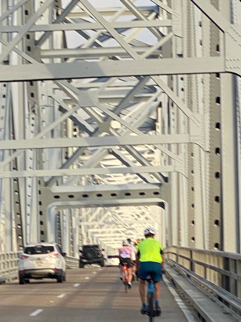
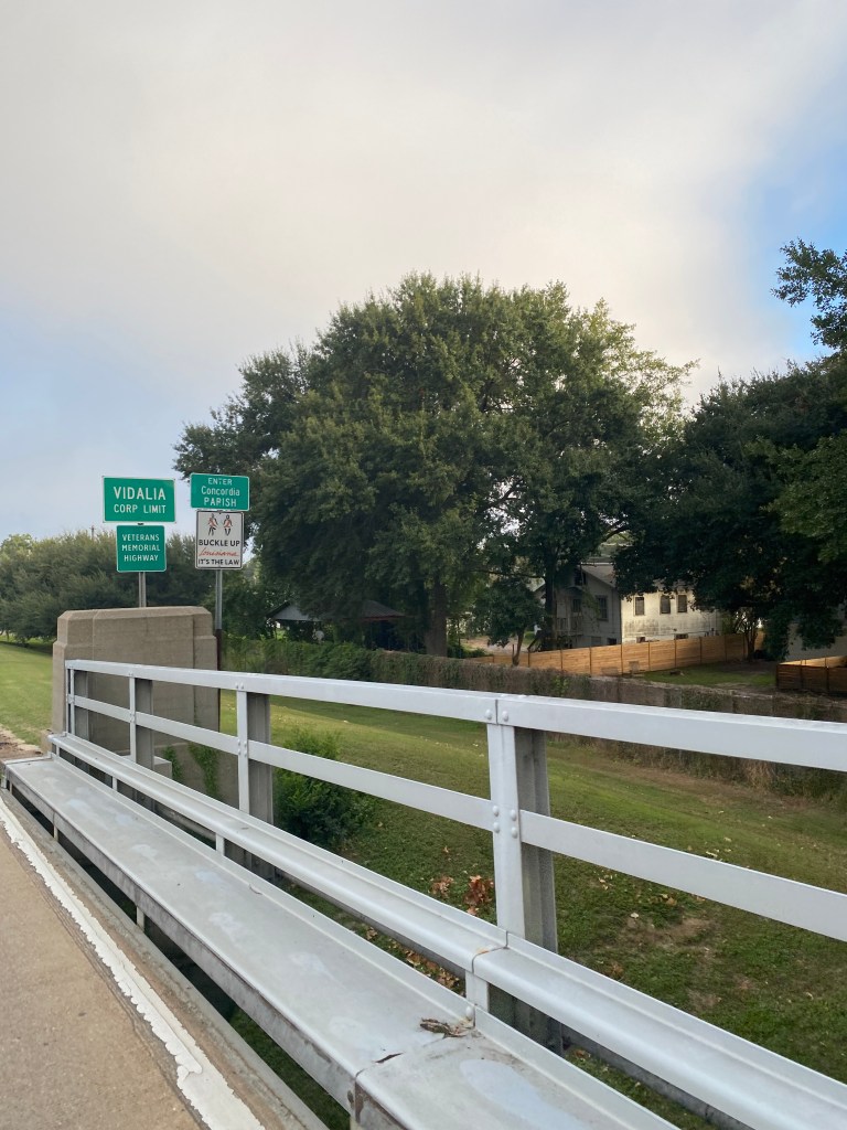


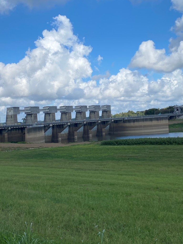


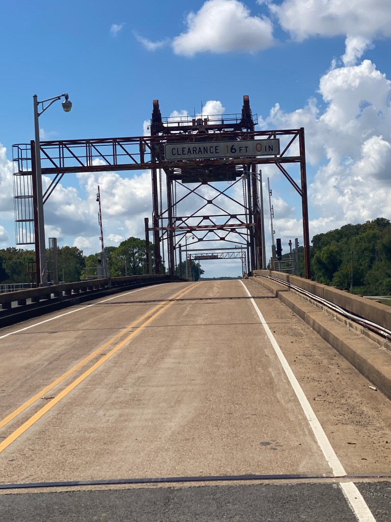
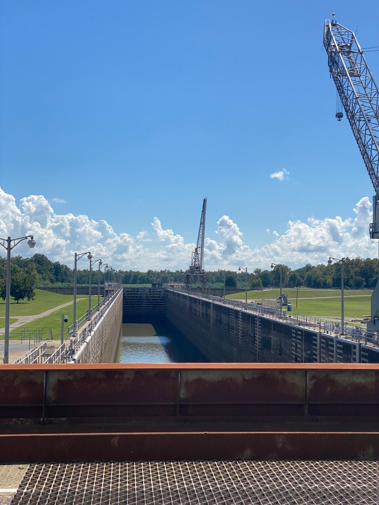
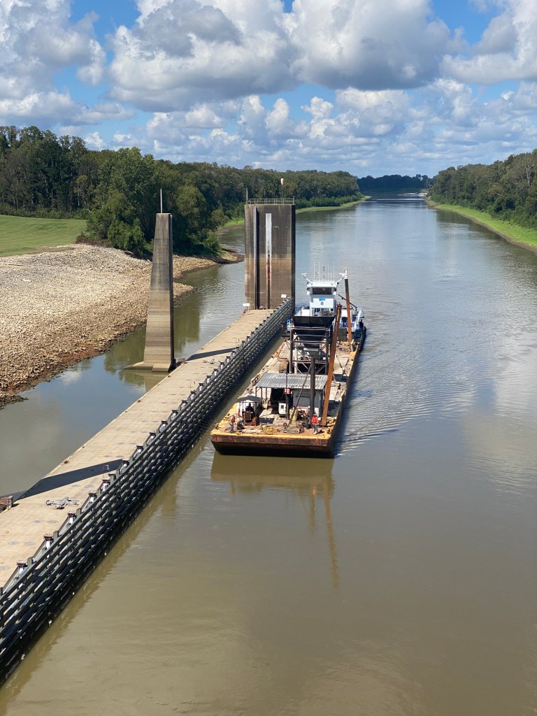

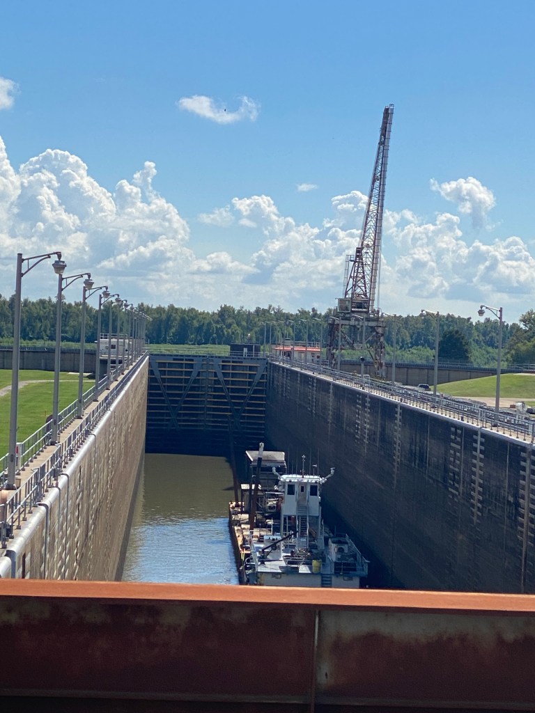


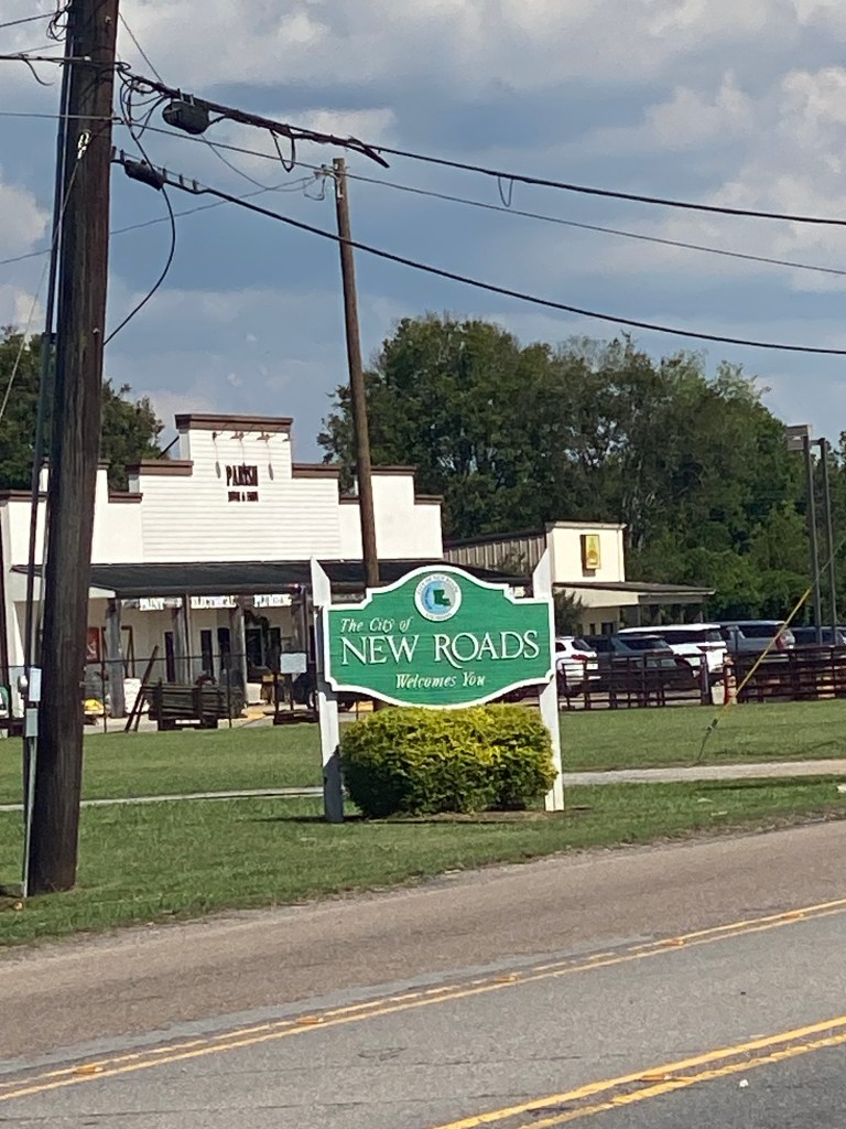
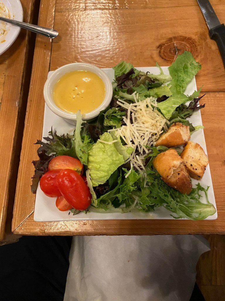
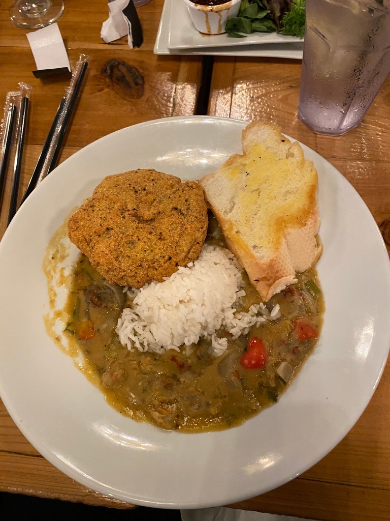
MS River Day 31: New Roads – Baton Rouge, LA
Recommend Wyndham Garden Hotel in New Roads be removed from the list of places COLA or any visitor considers for overnight lodging. The staff was fine; very friendly and accommodating but the rooms, not just mine, were terrible. Temperature setting in room was extremely low, 61°, and the room remained damp for the entire stay even after adjusting the thermostat. Apparently, others observed black mold in their room. Made dry clothes damp. Gross. Out of bed at 0700 due to a late departure at 0915 as only 44 miles to LA capital, Baton Rouge today. Adequate breakfast: scrambled eggs, scrambled eggs, waffle, toasted bagel, and OJ. While packing up toiletry items, saw a huge palmetto bug (or cockroach) that rivaled the size of those in pre-teen bug hunting days at Dad’s shop. No rubber mallet available to smack the bug but a Kleenex box was just as effective. The single elevator wasn’t working in the morning so carried the bags and bike (2 different trips) down 3 flights of stairs. Kudos to the Crash Bros and Harmonica, fresh off the IL, who lined up with the rest of us for the day’s ride. Another eastward and northward start to reach the John James Audobon Bridge for the final MS River crossing of the tour. The bridge, completed and opened in May 2011, is a Lower Mississippi River crossing between Pointe Coupee and West Feliciana parishes in south central Louisiana. The bridge has the third longestcable-stayed span (distance between towers) in the Americas at 1,583 ft (482 m) and has a total length of 12,883 ft (nearly 2.5 miles). The Audubon Bridge replaced the ferry between the communities of New Roadsand St. Francisville. The bridge also serves as the only bridge structure on the Mississippi River between Natchez, Mississippi and Baton Rouge, Louisiana. In 2012, the Louisiana Department of Transportation and Development (DOTD) named the approaches to the bridge after Marine Corps Generals and former residents of the area. The east approach to the bridge on La. 10 in West Feliciana Parish, between U.S. 61 in St. Francisville to the bridge, is now named the General Robert H. Barrow Memorial Approach. The west approach to the bridge on La. 10, between La. 981 and La. 1 Business west of the city of New Roads, is now named the General John A. Lejeune Memorial Approach. Curious after passing a sign because had never seen or heard of “Approaches” being named. Only one categorized climb on the route. An old MN friend, US 61, returned. Initially as 4-lane divided highway with wide, debris-filled shoulder, except for multiple flat bridges that had no shoulder. Was surprised that no one flatted on that stretch before the first and only water stop. Confronted with another potential navigational challenge when turning just before the water stop. Road Closed and Bridge Out signs were posted and indicated the closure was before our next turn. The overcast, warm and muggy start transitioned to sunny, hot, and muggy by the water stop. Checked in with Captain to see if the locals at the Port Hudson School had knowledge of the construction site. Information wasn’t clear but maybe a way around. Went to investigate and provide details via WhatsApp. Bridge super and substructure were completely removed. Spoke with one of the workers and inquired if it was feasible to walk through the site. Without hesitation he responded affirmatively and indicated the left side was better. Slipped the cleat covers on and cyclocross carried Synful down the embankment, across the dry bottom, and up the opposite embankment, a total of maybe 75 feet or so. Took pictures of both sides and texted back to the group that the site was navigable for bikes but not the van. My arrival coincided with a break but soon the backhoe was scooping out buckets of dirt from the bottom and dumping them on the far side (now the same side as my location). The group arrived just as activity was stopping for lunch. Assisted several others maneuver through the site and resumed the ride. Condition of US 61 deteriorated significantly on the approach to Baton Rouge. When a shoulder existed, it was more gravel than pavement. Not a good bike route when the shoulder disappeared. Closer in, there was a 2-mile detour off US 61 onto a trail that hadn’t been maintained for months and wasn’t any better than the highway. Stick and branches cluttered the trail, low hanging and side leaning trees required numerous forays into the grass around the obstructions. Unlikely an original thought but there must be a better, more bike friendly route between New Roads and Baton Rouge. Imagine folks at local bike shops could provide insight and/or alternative routes. ExxonMobil has a significant presence in Baton Rouge. Arrived at the Hampton Inn Downtown before 1:00 without passing any signage declaring Baton Rouge (literally means red stick and refers to a red boundary marker used by several Native American Tribes discovered by French explorers in 1699) city limits. Did pass a tall, ugly, art deco style building, reminiscent of those in Warsaw and Moscow, that is actually the Louisiana State Capitol. Able to check-in immediately, take a quick shower then walk around the corner to Martherne’s Market for a ham and cheese wrap and container of cubed pineapple for lunch. Accompanied Captain, Drummer, Doc, and LR to a local bike shop, Capitol Cyclery, to see what they had. Knew store-themed kits weren’t in the offing. First time ever seeing a combined bike shop and generic kids-r-us store. Met in the lobby at 6:00 and walked to the Little Village for dinner. Had a couple of slices of the Village Bread, very tasty, and ordered roasted tomato soup, filet palmero, and side spaghetti with marinara. Everything was very good, not quite equal to Flight but still very good. The only negative was time. Way too long between soups/salads and the entrees.
RWGPS data: 44.5 miles, 586’ elevation
Actual ride: 44.24 miles, 955’ elevation, moving time 2:41, total time 3:29
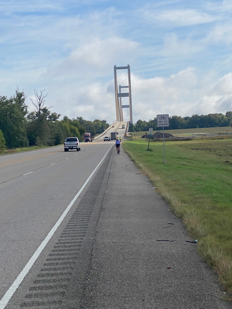


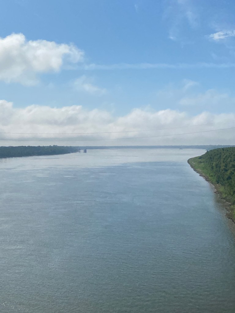
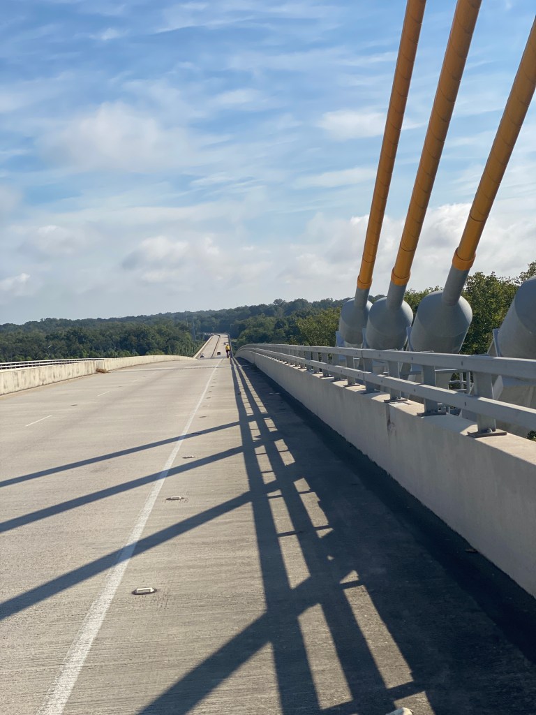


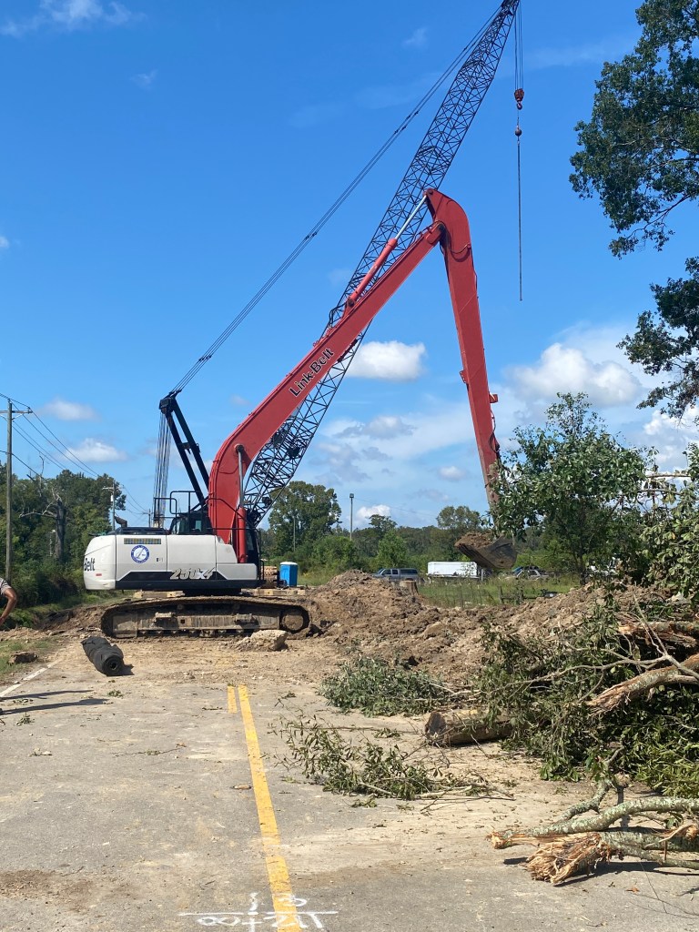

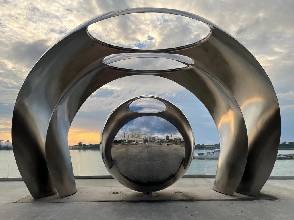

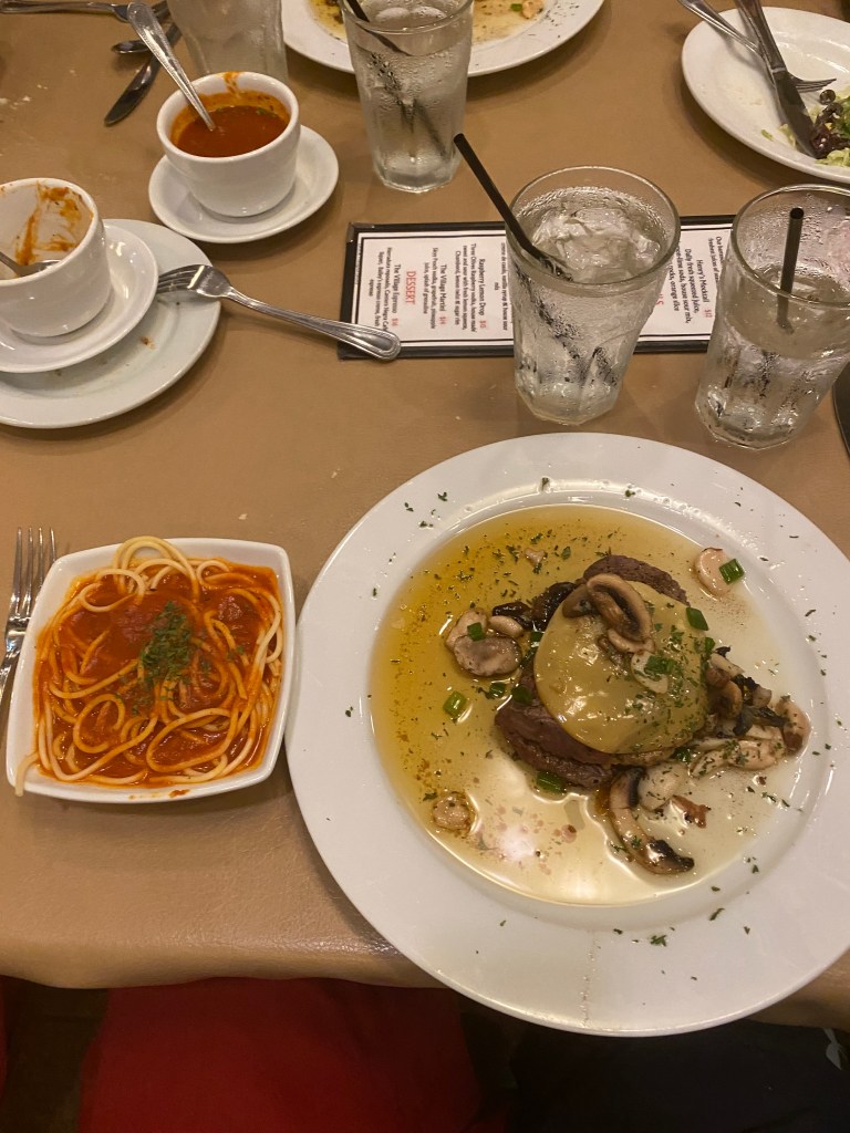
MS River Day 32: Baton Rouge – Darrow, LA
Alarm went off at 0605 to start the penultimate day of the COLA Epic Mississippi River Tour. Slept ok but a return to nighttime calf cramping. Did one set of push-ups to ease back into a morning strength routine. Standard Hampton Inn breakfast: scrambled eggs, potatoes, bowl of cereal, bagel, bananas, and OJ. Bags at the van by 0745 and ready to roll at 0800. Drummer requested a photo, if feasible, of a pelican embossed manhole cover that she had seen yesterday riding to the hotel. The first one was in the middle of an intersection – not a good idea. The next one wasn’t in the traffic lane but still a precarious position at a corner that meant potentially being a vehicle’s path from two directions. Mission accomplished before accessing the levee trail for a scenic, peaceful 12-mile ride in full view of the Mississippi. Passed the LSU main campus and a huge, occupied eagle’s nest. Stopped for a photo and chatted a bit with a local who was walking the trail. Took a tempo effort of nearly 5 miles to catchup with the group just before the trail ended in a casino parking lot. Wind became a factor as it paralleled the meandering river shifting from tail, to cross, and even a headwind. Pulled Alaska for the last 3 miles to the first water stop at a 20-mph average. She was pretty stoked about that. Still maintaining low Z2 as the recovery effort continues although Garmin indicates a “Peaking” training status. A group photo with the levee as the backdrop before venturing off to the second and final water stop. River road was practically a continuation of the levee without visibility of the river. Decent surface, low vehicle traffic and a winding road changing the wind direction. Felt bad about pulling Alaska as she seemed to have burned a few too many matches and was unable to remain with the group to the second stop. Captain had to backtrack with the van once everyone departed to retrieve Harmonica who was experiencing dizziness. Passed miles of oil refineries and the community of Hermitage, named after Andrew Jackson’s Tennessee home, which has a plantation of the same name that is considered the earliest surviving Greek Revival plantation home in Louisiana. Rode just beyond our night’s accommodations to eclipse 50 miles then returned to the parking lot that supports both the Great River Road Museum and Houmas House Estate and Gardens. Waited nearly two hours wearing wet cycling kit before cabin was available. Granted, others offered the use of their cabin to shower and change but didn’t anticipate such a lengthy delay. Made it to the café with minutes to spare before the kitchen closed at 1:45 for a chicken salad sandwich on sourdough bread for lunch. Afterwards, went on a walking tour of the mansion with Gambler, Doc, and LR. Amazing history. Walked to a different restaurant on the property, the Carriage House, for the final entire group dinner. A couple of folks are meeting up with family members at the conclusion of tomorrow’s ride who’ve made the trip to New Orleans. Main table was in a room that could have doubled as hunt club parlor with stuffed heads of all manner of antlered animals and a duck under glass. Our excellent server with 19 years of experience at the Estate gave meaningful recommendations and even discouraged an entrée (my initial selection). Probably the second-best meal of the trip. Started with two different kinds of fresh, warm bread followed by chicken and andouille gumbo, crab and mango cake, small house salad, the red fish entrée, and concluded with a big piece of banana cream pie cheesecake. Stuffed, but happily so.
RWGPS data: 49.8 miles, 248’ elevation
Actual ride: 50.37 miles, 735’ elevation, moving time 2:47, total time 3:25

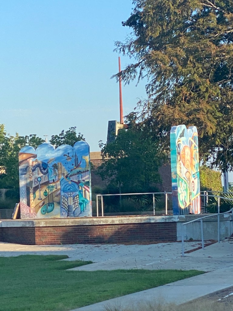


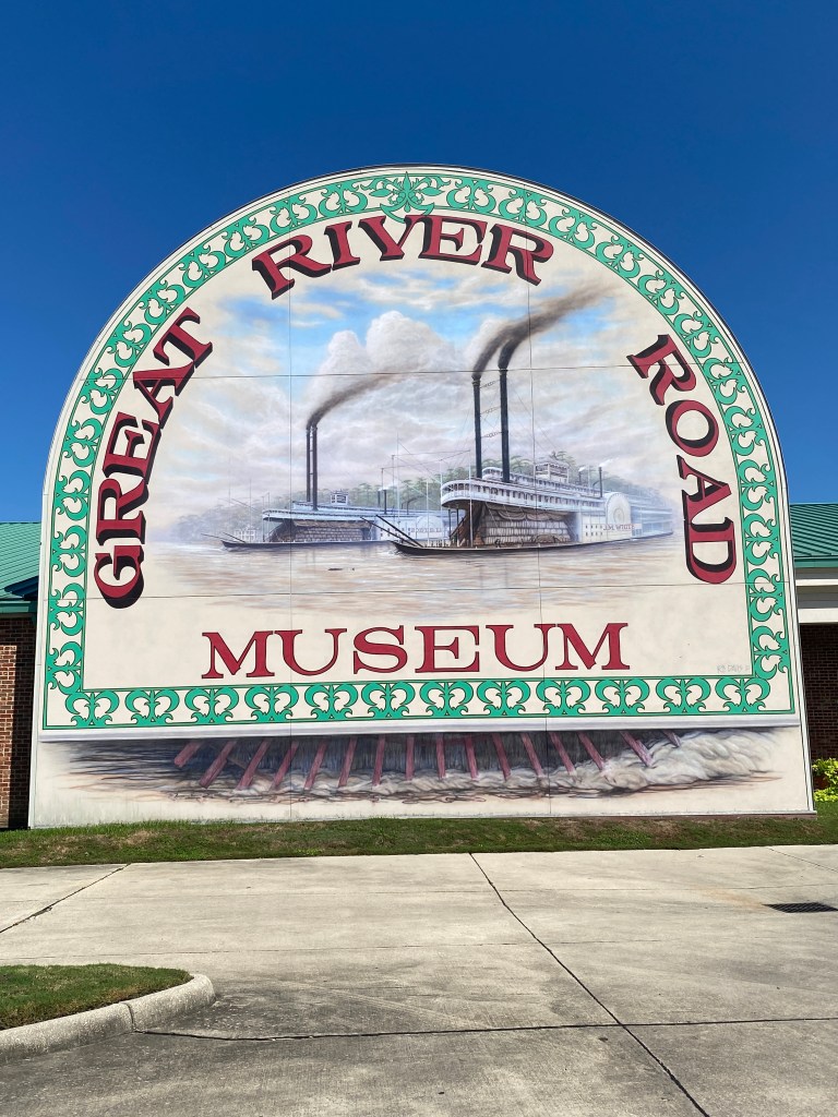


MS River Day 33: Darrow – New Orleans, LA
0630 wake-up for the Grand Finale of the Epic Mississippi River Tour. The Dixie Café didn’t open until 0800 so bag drop at 0730, fill water bottles and adjust tire pressure as necessary before breakfast. Had time for a leisurely one-mile stroll around the estate before breakfast: scrambled eggs, biscuits, cereal, packaged muffin, and OJ. No big speeches, presentations, or words of wisdom before rolling at 0835. Another cool but comfortable morning and a generally eastward route all day with winds out of the northeast. Could be some unpleasant segments along the way. Initially paralleling the river with the levee blocking the view on the right and industrial sites with multiple enclosed, conveyor belt systems spanning the road and the levee to docks or other facilities on the shoreline on the left. Once passed the industrial sites, we approached, then went under the long Sunshine Bridge, another cantilevered steel-through truss bridge, but would not cross over. A sharp left and merged onto Hwy 70 where the right lane was coned off for construction but no current activity for 2+ miles which meant an open lane for bikes. Gambler hopped on my wheel before a right onto LA 3125 and remained for the next 12.5 miles to the first water stop in the Winn-Dixie parking lot. Highway had a very wide shoulder and snaked along causing the wind to shift between head, cross, and tail. Appreciated the passing semis for disrupting the headwinds but wished they were more consistent to eliminate the headwind all together. Hit with an overwhelming sense of déjà vu after a left turn shortly after leaving the water stop. Another industrial complex on the left complete with enclosed conveyor belts crossing over the road and another truss bridge in the distance. Immediately looked down at the Garmin unit to confirm we hadn’t just made a big loop. Closer inspection of the image revealed differences: not as many conveyor systems, the addition of an orangish, domed, round structure in the industrial complex, and the Veteran Memorial Bridge in Gramercy is different from the Sunshine Bridge. Caused the heart rate to spike; really weird. The RWPGS route indicated miles on the levee but added confusion referencing gravel sections. Spent most of 44 miles on the levee except for 2 miles after lunch which was closed for construction and only about 10 feet of gravel. Very relaxing riding on the levee – except for the headwind sections. Hard to describe the size of some of the agricultural (Cargill) and refinery (Shell) facilities. The numerous silos, stacks, towers, storage, facilities, etc. rival the skylines of any mid-size commercial downtown area. Spied two bald eagles in the same tree thanks to a woman rider who pointed to the tree line. Also rode through another Army Corps of Engineer complex, the Bonnet Carre Spillway. It’s a flood control system that opened in 1931 and constructed of 350 wooden beams that diverts Mississippi River floodwaters along a 5-mile spillway into Lake Pontchartrain to protect New Orleans and surrounding areas from flooding. The spillway is activated when the flow of the Mississippi exceeds a specific rate, not reaches a certain height and has been opened 14 times since construction, most recently in 2019. Didn’t know the details when riding through it but knew enough to know that the entire area was intended to be completely submerged. Immediately christened it Louisiana’s version of Mont Saint Michel. It’s just not a daily occurrence. Passed dozens of riders, many on the spectrum, heading in the opposite direction through the Spillway. Great to see that many teenagers and young adults out exercising and seemingly enjoying themselves. Regrouped for the last 6 miles into downtown New Orleans. Unfortunately, that was also the last time we saw the river. Beautiful homes along St Charles St and several of them were decked out for Halloween. The end of the ride and Epic Adventure was rather anti-climactic. We turned a corner and there was the final hotel, another Hampton Inn. No Riverview or dipping the front tire. We did get the opportunity to meet (be introduced anyway) to Drummer’s family and a final group picture. While the ride concluded in New Orleans, the River continues to flow southeast to the Mississippi River Delta in the Gulf of Mexico. Venice, LA, 75 miles southeast of New Orleans, is known as “The End of the World” because it’s the last community on the MS accessible by automobile. Went with Captain, Gambler, Broker, and GOO to Bayou Bicycles. The first three left their bikes to be boxed up for shipping home while the rest just tagged along. Knew a kit wasn’t an option but wanted to see what they had. Did purchase 2 pairs of socks and learned a store-themed kit would be available in about a month. Provided contact information to be added to the newsletter distribution list. Dropped off at my hotel for the weekend, Hilton Garden Inn, which wasn’t far from the rest of the group. Showered and walked to Gallier’s Seafood for the final group dinner. Ordered the Fried Alligator Bites as an appetizer (Keel Farms is better), cup of jambalaya, side salad, and seafood penne pasta. Not bad food. No complaints.
RWGPS data: 71.3 miles, 435’ elevation
Actual ride: 72.26 miles, 1716’ elevation, moving time 4:42, total time 6:15
Totals: 33 total days, 31 days of riding, 2250 miles, 71980′ elevation, moving time 122 hours, 10 states