The cycling focus for the bulk of July was preparing for a self-designed, solo randonneuring adventure that would add 9 states for the RUSA Explorer Award plus add three more states and a foreign province and city to the list of places I’ve cycled. For clarity, I’ve previously ridden in six of the states but not as part of an official randonneuring event or route. Secondarily, using this adventure as a training block for the upcoming MS River ride that covers over 2000 miles in 35 days (3 rest days included). Had a few constraints to overcome to include 2 ½ weeks of noncycling vacation, some kind of virus or flu, and oppressive heat and humidity.
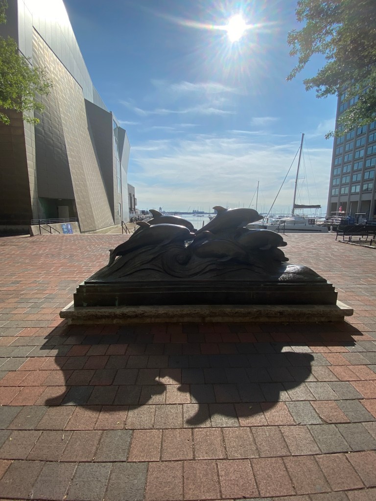
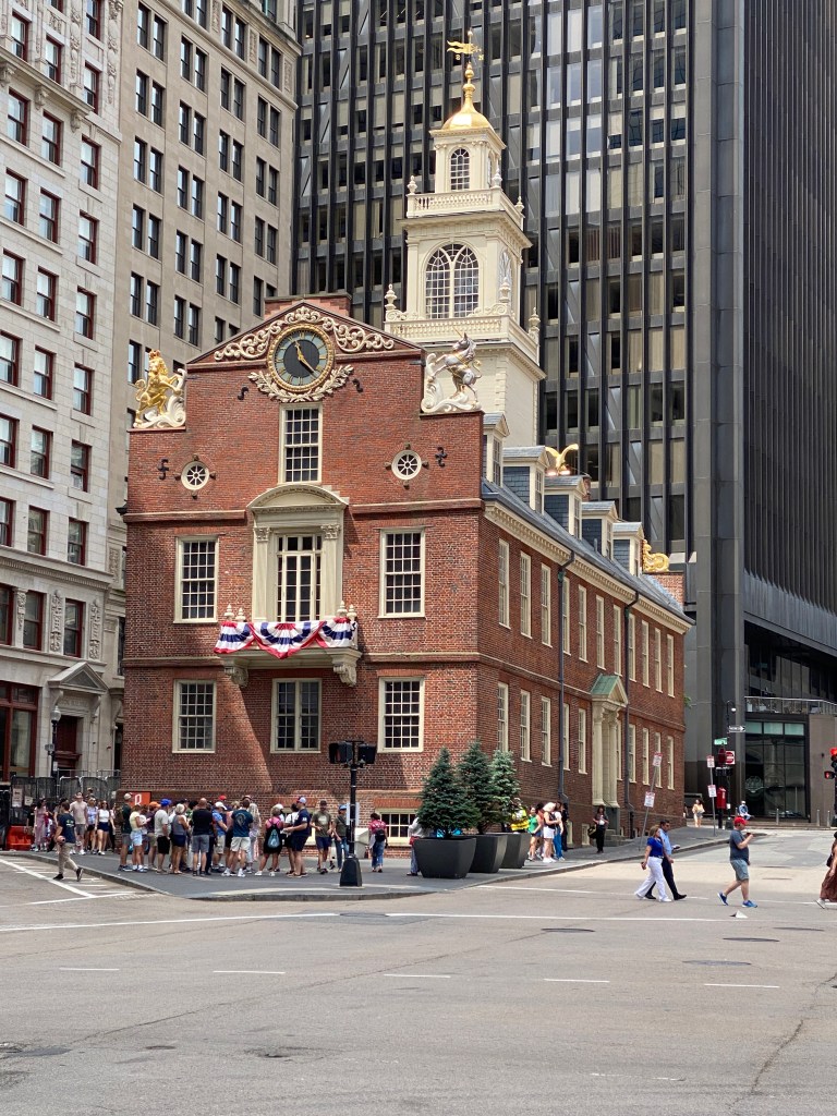
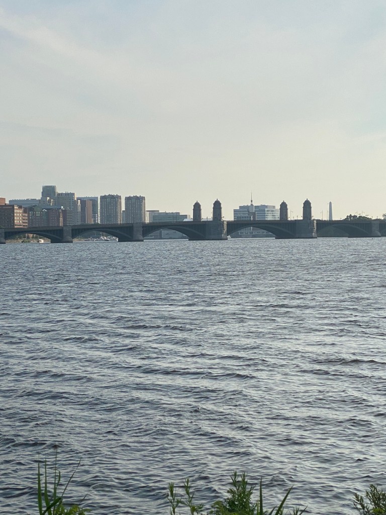
Discussed most of the vacation time (Viking River Cruise and Croatia) in previous blog entries so those won’t be repeated. Enjoyed the July 4th holiday weekend in Boston attending a wedding that the girl child had the honor and privilege of being the Matron of Honor. Had a great time actually in Boston but the trip there and back? Not so much. The Missus and I were airplane fatigued after two transatlantic round-trip flights over the previous 6 weeks and thought a leisurely train ride would be a welcome change from the stress of airports, connections, cramped spaces, etc. Unfortunately, things didn’t work out so smoothly. On the way up, the train arrived over an hour behind schedule. We received two $50 coupons for future travel on Acela only trains. The return trip was far worse. The train experienced a mechanical problem roughly 45 minutes into the 7 ½ hour trip. Luckily, it was at a stop, Providence, but once a maintenance crew arrived to assess the problem, the train was taken out of service. We waited another two hours for a new train to arrive from Boston. All passengers unloaded then boarded the new train to finish the trip. For this inconvenience, we received a full refund of the cost of that leg of our roundtrip ticket.


While the weather was spectacular in Boston with cool mornings and highs in the low 80s and low humidity, we returned to the summer swamp in NoVA. Temperatures neared 100 with “feel like” temps approaching 110. Most of my rides were finished by mid-morning before the conditions became brutal. Even those were physically depleting necessitating much greater fluid intake and CHO gels on 40–60-mile rides. The two exceptions were NVR organized 200K rides. The first one was a survival exercise for the last 70 miles of the ride. Actual moving time of roughly 7.5 hours wasn’t horrible for nearly 9K feet of climbing but spent over 2 hours recovering/resting. Normal nonmoving time for 200K is around 45 minutes. The course wasn’t particularly challenging with rollers racking up most of the elevation gains. The heat and humidity were oppressive. Fluid intake was nearly 12 25-ounce water bottles. The second 200K two weeks later were under better conditions but still heated up in the afternoon. Quitting ideations were delayed until the 95-mile mark which reduced survival mode by an hour but still spent a fair bit of time soft pedaling and in an aero tuck position to take advantage of favorable terrain. Spent just a few minutes longer covering the 133 miles but reduced the resting/recovery time down to 80 minutes. Only consumed around 9 water bottles on that ride and recovery post ride didn’t take nearly as long. Certainly an improvement but more nonmoving time than typical.
Due to the poor performances and concern about overall fitness level for the upcoming Randonneuring (Rando) Adventure, not to mention the Missus’ concerns, there were a couple of last-minute changes to the schedule. Originally there were two 200K rides along with two 2-day stays at the same hotel. Final schedule only had one 200K ride and 2-day stay. Changes resulted in more driving time, 65 miles less cycling time, but included the same 10 states (DE, PA, NJ, CT, NY, RI, ME, NH, MA, VT) and Canadian Provence (Quebec).
Day 0 – July 30
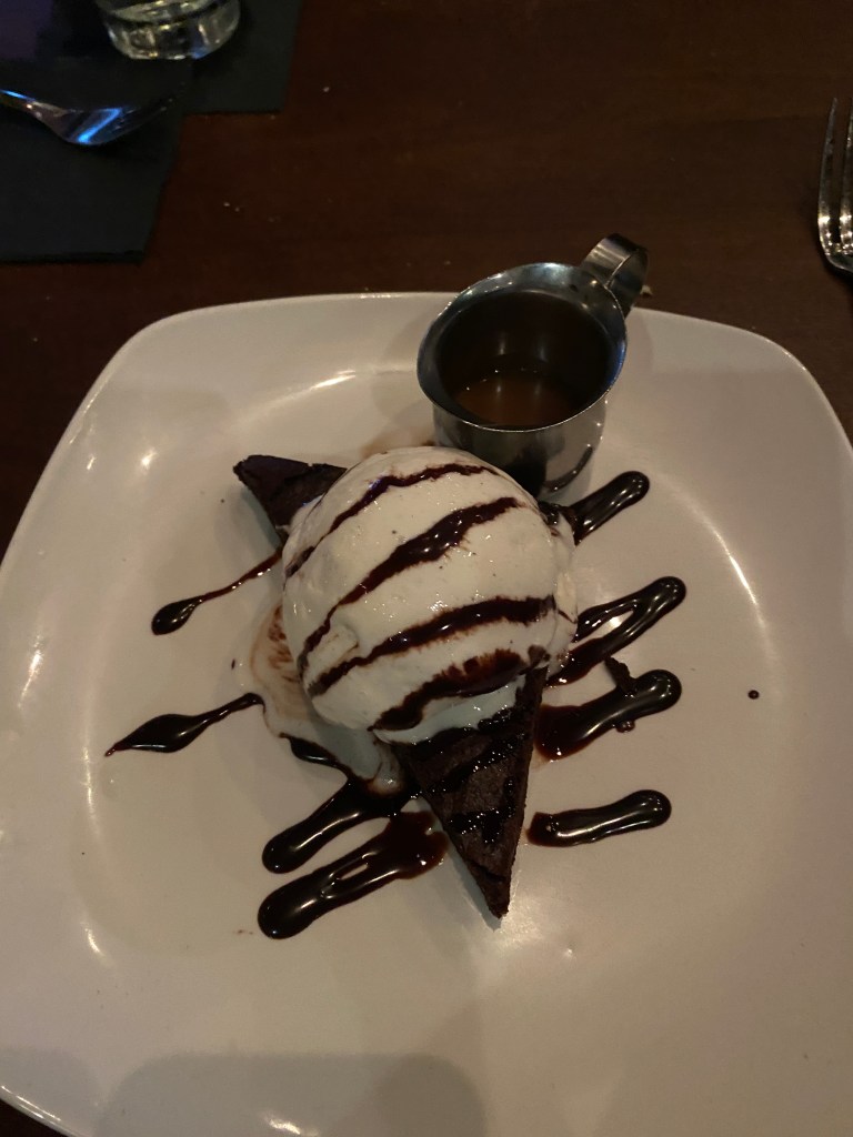
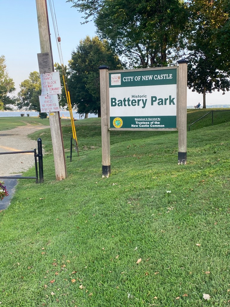
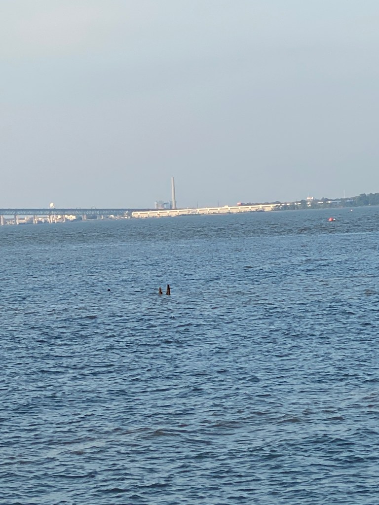
Following the standard recovery route ride and breakfast, loaded up the vehicle with everything necessary (hopefully) to support 8 days of cycling in, around, and through the New England states and up to Montreal. Thought about bringing the small air compressor just in case replacing and seeding a tubeless tire was required but decided against it. Drove up to Delaware to the first Hilton property (Hampton Inn – a fan of the free breakfast!) of the long week. Selected my room and checked-in through Hilton’s App enabling a bypass of the in-person check-in process. Searched online for a place to eat, picked Firebirds Wood Fire Grill a little north of Christiana, and selected the Three Course Dinner with salad, entrée (grilled salmon, baked potato, and broccoli), and dessert (chocolate brownie cake). All very good. Afterwards, drove to the Historic Battery Park in New Castle and walked along the Delaware River for 3.3 miles.


Day 1 – July 31
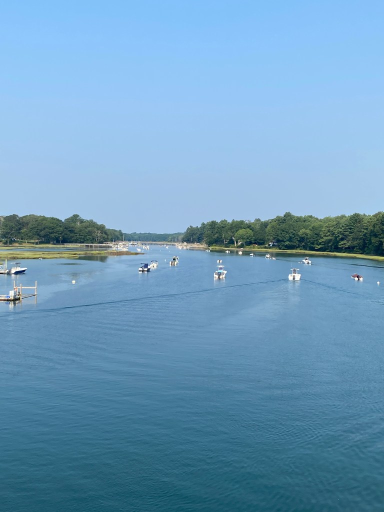
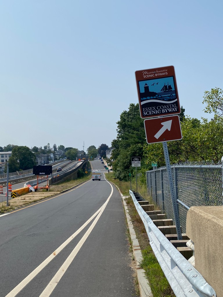
Historical Philly #5153 (DE, PA, NJ)
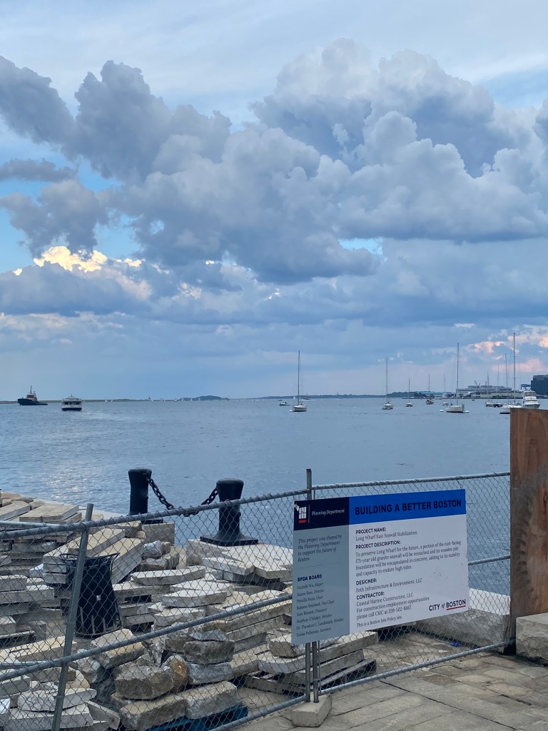
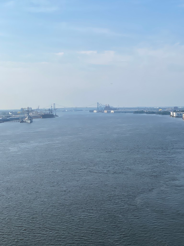
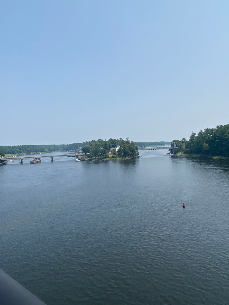
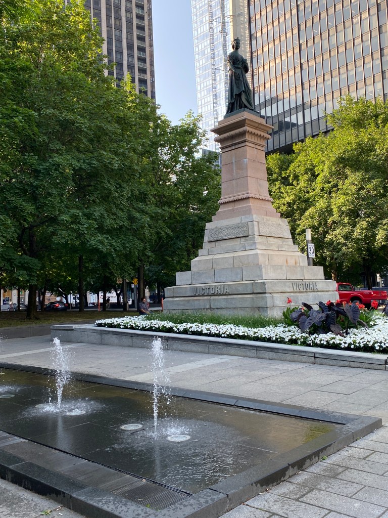
After breakfast and filling all water bottles, drove to the route starting point and began pedaling at the roll time goal of 0715. Initial miles were through heavy industrial and petroleum production factories – not very scenic but roads were ok. Went past the backside of the airport along the Delaware River then nice trails along the Schuylkill River and then entered Philly proper. Surprised by amount of bike lanes through Philly and passed by numerous city cyclist riding the gamut of bikes: road, hybrid, mountain, fixed gear. Many ignored stop signs and even red lights – too many of those. Felt weird when the bike lanes were on the left side of a one-way street. Navigation went pretty smoothly through the city. Zoomed in the Garmin GPS unit as the route was tricky is spot but eventually up and over the Ben Franklin bridge into NJ for a few miles and worse stretch of pavement on the entire ride. Seems like there could’ve been a much better way to add a few miles on an out-and-back-extension. Likely that stretch of road wasn’t so bad when the route was created. Only the walk/bike lane on the south side of the bridge was open but the route incorporated both sides. Experienced a bit of frustration attempting to re-connect with the route and added about 4 miles of back and forth but nearly 45 minutes until finally found the right path. Garmin return function kept wanting to send me back over the bridge into NJ. Finally selected return the quickest way and that connected to the return route. Once back on the purple lines (Garmin only – unfortunately no markings on the road or bike path), switched back to the actual Perm route as the quickest way back actually shaved off 4-5 miles. The temps did rise as the morning progressed but didn’t reach oppressive. Optimally, 4 bottles were sufficient with all the extra time spent in the sun going back and forth in Philly but made it stretch. Under a bit of a time crunch to return to the hotel, shower, pack, load up and check out of the hotel even with an hour extra for late checkout. Completely out of the room and loaded up by 1:15.
RWGPS route: 65.4 miles, 1000’ elevation
Actual ride: 69.5 miles, 2106’ elevation, moving time 4:28, total time 5:03


A drive to Danbury, CT that was supposed to be less than 3 ½ was much longer due to traffic and torrential rains. Eventually made it safely to the next Hampton Inn and partially unloaded. Searched the internet for a restaurant and chose Bottega in Bethel, CT and ordered the mushroom arancini appetizer and Fra Diavolo pasta for the entrée. Another good meal.


Day 2 – August 1
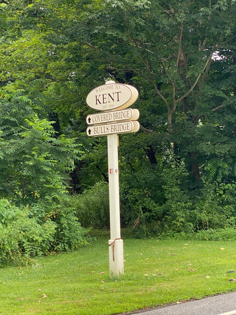
Kent 100 #4161 (CT, NY)
Up a little before 0600 for breakfast and bottle fill then a short drive to Kent, CT. While unloading the bike and not properly removing other cargo, the Smartsense rear light/radar bracket broke. Stupid, lazy me. The light just dangled, attached by the thin sheathed wire that connects it to the battery housing. Turned on the secondary rear light but won’t have the radar feature for the duration of the Rando Adventure. Initially wore a jacket because of the expected road spray from the previous day’s rain but the roads were fairly dry. Removed the jacket after 4-5 miles and enjoyed the scenery up through the horse farms of Dutchess County, NY and back down in the shadow of the Taconic Mountains. Not much flat terrain but only 2 1-mile-long climbs; just lots of rollers with mild gradients. Very green. Reminded me of our trip to Ireland. Awesome temperature of 61° at the start. Cooler temps meant 4 bottles were more than enough to last the entire ride. Caught 2 riders in last 5 miles and stayed behind them until they turned less than 1/4 mile from finish. Don’t think they enjoyed being caught or not dropping me when they rotated and the new lead picked up the pace substantially. Oh well. Before loading the bike back in the car, noticed that tire sealant had sprayed over the bike. Squeezing the tire revealed a loss of air pressure as well although not enough to make the rear of the bike bounce. Filled it back to the standard 75 PSI. We’ll see if the tire holds the pressure over night.
RWGPS route: 67.3 miles, 3156’ elevation
Actual ride: 67.5 miles, 4183’ elevation, moving time 3:49, total time 4:03


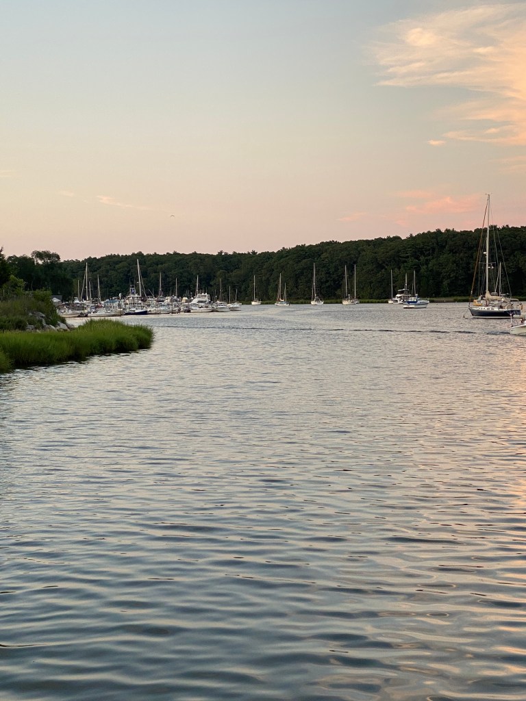
Back to the hotel to shower, pack, load up and off to the next stop: Coventry-Warwick, RI. Another drive that should have taken less than 2 ½ hours but took much longer. No rain but heavy traffic headed east across Connecticut. Same routine of unload and find a place for dinner. The lucky winner tonight was Lake Taco in Coventry, RI for BBQ shrimp appetizer and 3 pollo loco tacos. Good food and loud atmosphere. Really crowded when finishing as a live band was warming up and even shared my high table with an older couple that didn’t feel like waiting for their own table. Not a problem but I wasn’t interested in socializing. Drove to Scalloptown Park in East Greenwich and walked 3.3 miles along Greenwich Cove passing a few marinas, packed restaurants, and the yacht club.


Day 3 – August 2
Watch Hill #5222 (RI)
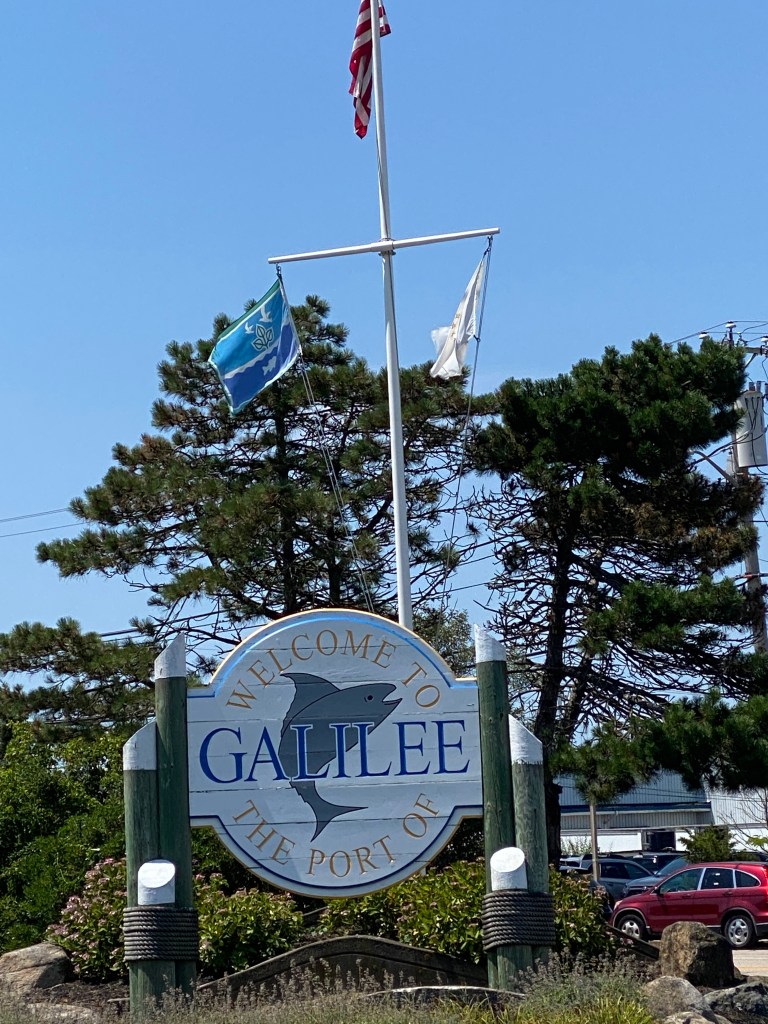
Wake-up was a bit before 0600 to accommodate complete load-up and check-out before breakfast (waffle, eggs, cereal, and juice), and driving to the route start at the Block Island Ferry terminal. The place was hopping on a Saturday morning with lots of pay parking lots but drove around the block and parked along the road in 4-hour zone. Figured that would be sufficient time to complete the ride. Checked the rear tire after unloading it and sadly, it didn’t hold pressure overnight. Added more sealant and pumped the pressure back to 75 PSI. Sealant sprayed from one pinprick and beaded on a few others. Fingers crossed the tire would play nice for the ride. Googled for local bike shops and Stedman’s Bike Shop was less than 5 miles away in South Kingstown. Just needed to get through the ride. Another great weather day – low 60s at the start and not much wind. Really nice route but more elevation than advertised. Only one Garmin categorized climb that was a head scratcher – very short but a steep section leaving beach area of Watch Hill. Wasn’t more than a 100-meter climb but managed to exceed Garmin’s threshold. Tons of water views and lots of riders; real ones and beach bikers. If time wasn’t a constraint, would’ve stopped in Watch Hill and also checked out the Seafood Festival as the aromas induced some serious salivating. The beaches were packed with ½ mile long lines of cars waiting their turn to enter one of the numerous public beaches. Experienced the first and only moron driver of the adventure: passing with double yellow on narrow road. Wasn’t much space between the passing car and me. Dope! Tire pressure held steady for the ride with no additional signs of sealant. Returned to the start/finish point to discover all the 4-hour parking spaces were taken with cars circling like vultures waiting for someone to leave. Had 3 different drivers as if I was leaving soon. Told each one it would take about 15-20 minutes before departing. Fortunately, the toe hitch bake rack was extended which enabled the back hatch to open easily. Even so, the car behind was less the 2 inches from the rack. Raising it also provided a little more maneuvering room to pull out. Headed to Stedman’s bike shop to remove and mount new tire. Delayed departure time about 90 minutes but peace of mind was worth it. Had a real lunch, grilled chicken sandwich, at The Joyce Restaurant and Pub across the street and purchased a Stedman’s kit waiting for the tire installation.
RWGPS route: 63.7 miles, 1891’ elevation
Actual route: 65.38 miles, 2405’ elevation, moving time 3:32, total time 3:44


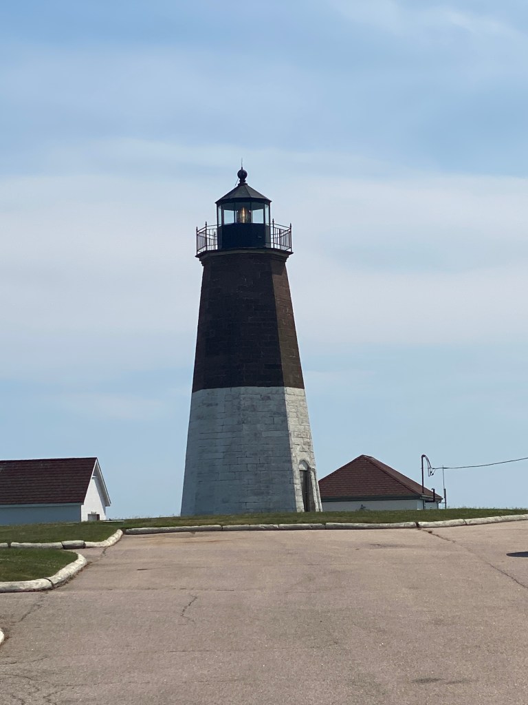
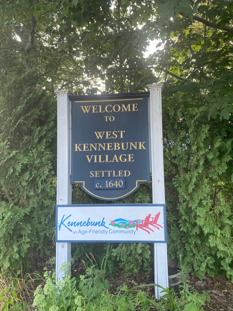
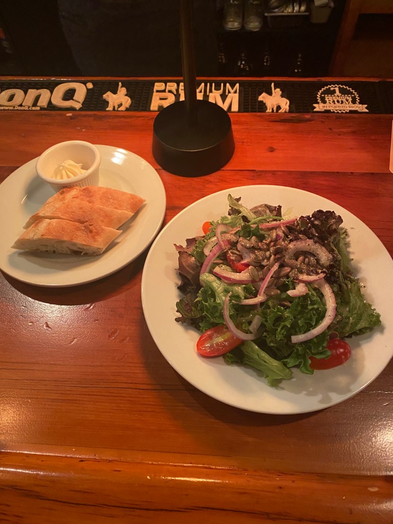
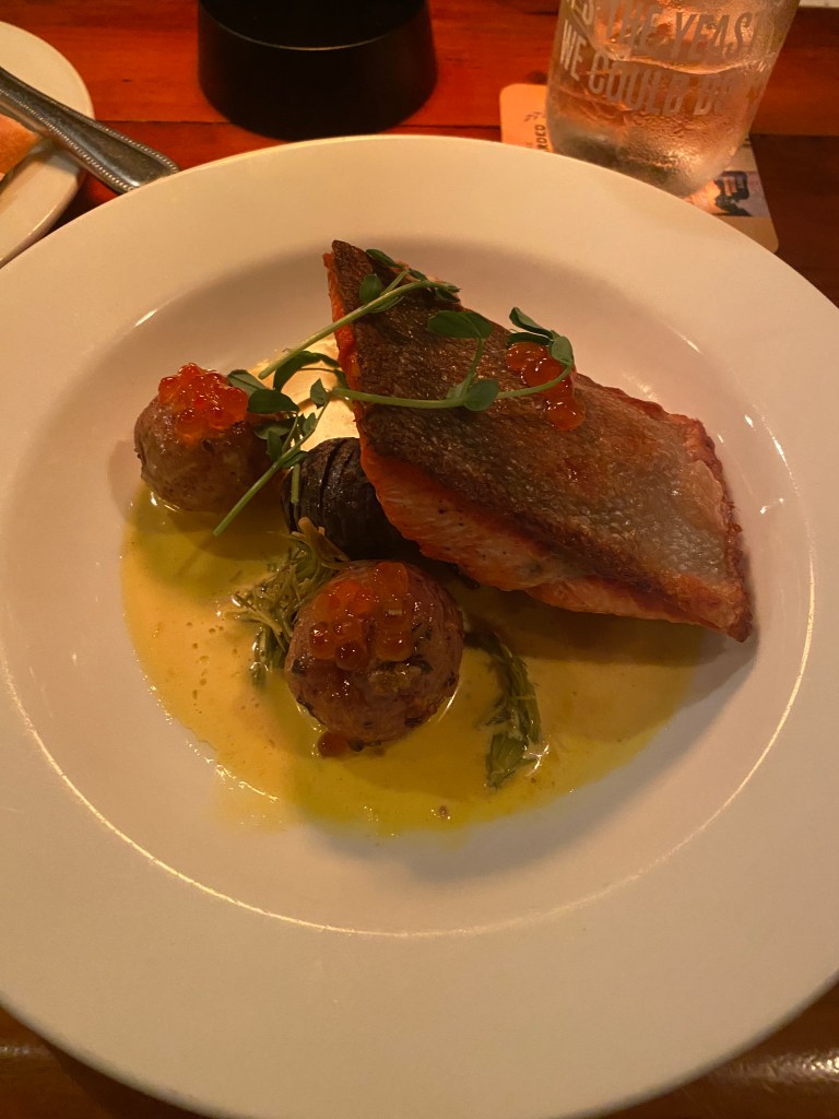
Took a slight detour to stop at the Point Judith Lighthouse that looks out into the Block Island Sound. Disappointingly, DHS had the entire facility fenced off. The drive to Kennebunk, ME took longer than projected due to traffic, recurring theme, but at least there wasn’t any rain. Checked in to the Hampton for the first of two, consecutive nights. Walked down to the Village Tavern in West Kennebunk for a small, house salad and the Salmon Special. Haven’t had a disappointing meal yet!


Day 4 – August 3
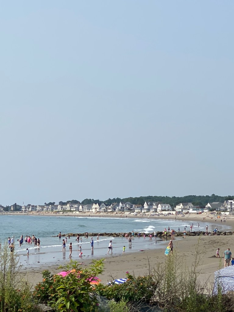
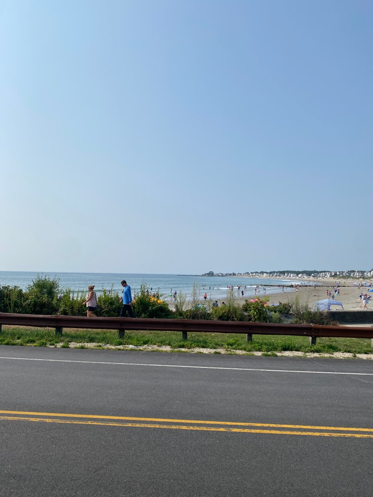
Maine-Mass Mash #5287 (ME,NH,MA)
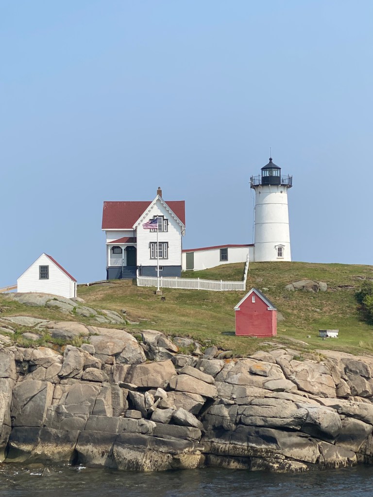
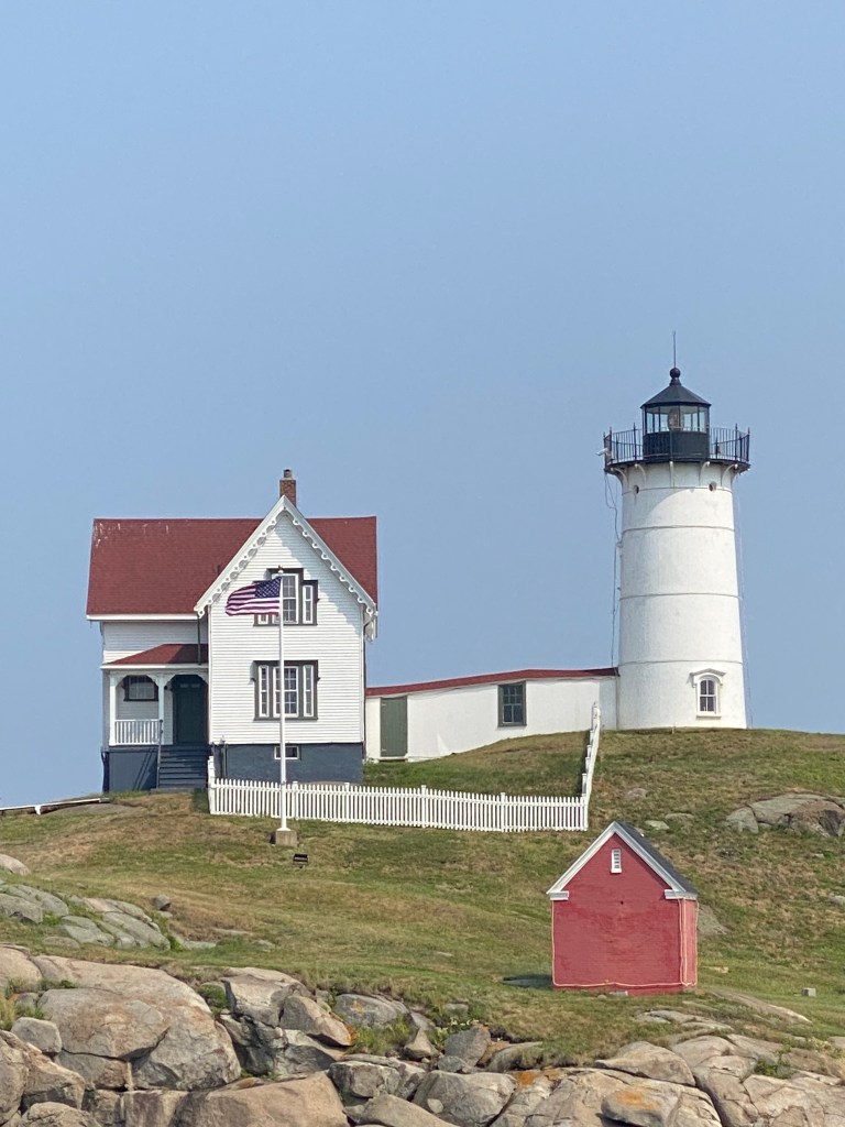
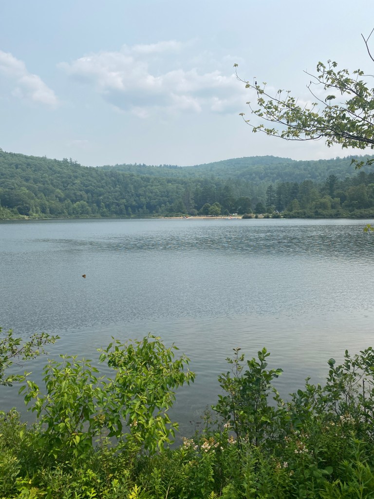
The only 200K ride on the adventure and don’t know why NH received short shrift and was excluded from the name of the route. Especially since one can’t travel by land from Maine directly to Massachusetts without crossing New Hampshire. Regardless, another great route with lots of water views: ocean, bays, channels, and rivers. Another spectacular weather day, too. A bit of a head wind heading south but not terrible. More elevation than advertised but only 2 Garmin categorized climbs. Once again, the beaches were packed. Had one near miss when an inattentive young driver suddenly decided to make a last second right turn, across the bike lane into a parking lot. Thankfully, full attention was on the road for just such an incident and able to turn with the vehicle, front and rear disc brakes squealing, to avoid contact. Fuming, called him an idiot, pointed to my sunglasses, “Look where you’re going,” and loudly told him to back up. No other incidents along the way but just a great ride. Took a short detour on return for the Nubble Lighthouse in York, ME. No DHS fence erected around it but it was on its own small rock island less than 200 meter off the coast. This was the best 200K of the 3 over past month. Lower temps and more saddle time leading to increased fitness make a huge difference. Wasn’t completely spent at the end and never felt like quitting. Lots of bikers again – but all headed in the opposite direction.
RWGPS route: 126 miles, 4152’ elevation
Actual route: 129.22, 6024’ elevation, moving time 7:19, total time 8:08


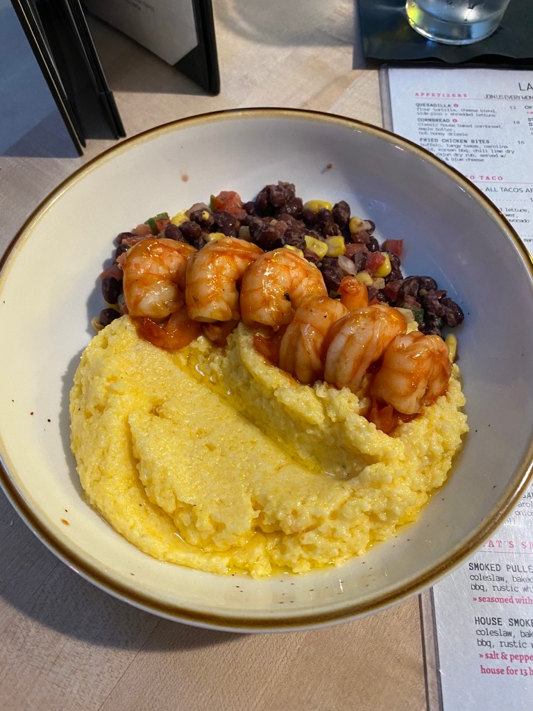
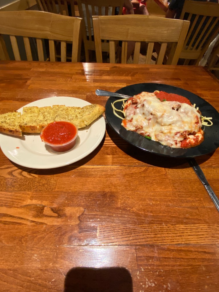
Had a short drive back to the hotel, the drive to the next start point was the following morning. Asked the desk clerk for restaurant recommendations, seafood of course. What else is supposed to be had in Maine. He provided three with his personal preference. Looked up all 3 online and based on the menu offerings, agreed with his preferred establishment. Unfortunately, they didn’t have any openings for a party of one but did have an outside deck that was first come, first serve. Rolled the dice and drove to Mabel’s Lobster Claw in Kennebunkport. Hostess said it would be 30 minutes so planned on taking a walk back towards the downtown area. Made it 10 minutes down the road before receiving a text stating a table was available and would be held for 15 minutes. Made it back in time and had the best meal of the trip and likely one of the top 5 ever: house salad, mussel bread, and baked, stuffed lobster. Walked a bit more after dinner for a total of 3.15 miles along the Kennebunkport River to the mouth where it flows into the Atlantic. This would be the final ocean view of the Adventure.


Day 5 – August 4
Woodstock Ludlow Loop #3853 (VT)
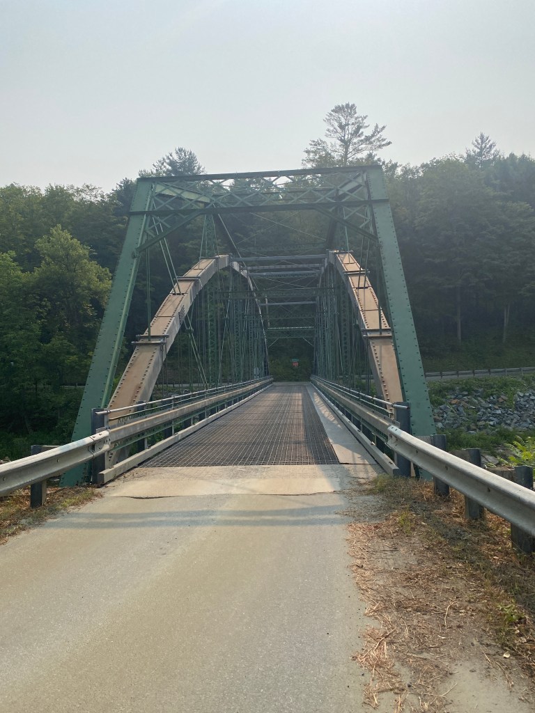
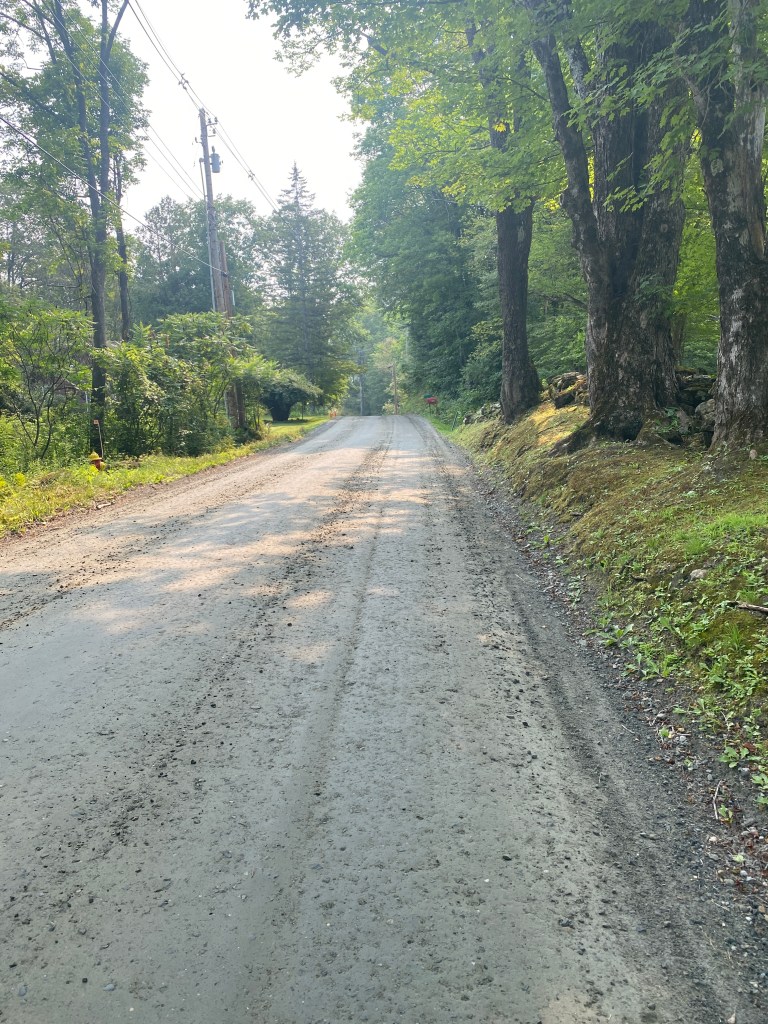
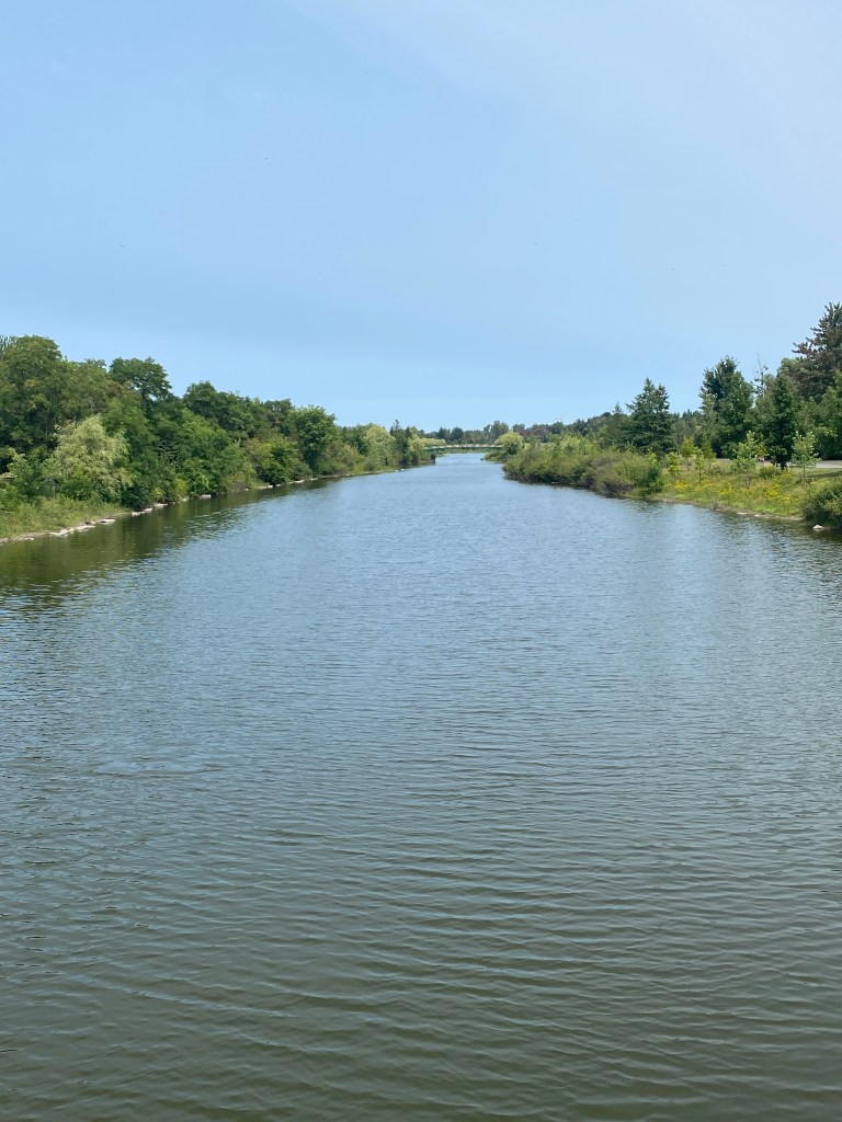
Alarm went off before six to accommodate packing, breakfast, and a 2 1/2-hour drive to Woodstock, VT. Arrived at the high school, unloaded and started riding a little before 10. In the first 2 miles crossed a steel, grated bridge, one short climb, and gravel section. Ride contained 8 Garmin categorized climbs; all in first half. Very surprised by this as route profile is deceptive tricking one the think the second half is mostly climbing. Two climbs were 1.25 miles long while the remaining about 1/2 mile long and nothing terribly steep. Another pleasant surprise were the 2 nearly 12-mile generally downhill sections. Very nice. Saw a number of riders – all going the other way – and a club ride with about 20 riders. No Bear or moose sightings contrary to the warning signs. Shoulder narrows sign means it’s going away. Passed a covered bridge a few miles from the finish that was not on the route but certainly visible from the road. Another cool route on low vehicle density roads.
RWGPS route: 66.4 miles, 3165’ elevation
Actual route: 66.47 miles, 3310’ elevation, moving time 3:39; total time 3:53


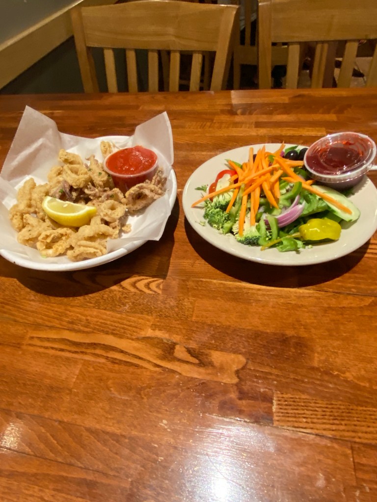
Back in the car for a 90-minute drive to the Hampton Inn at St Albans. Would be staying here for two nights but with a stay at the Embassy Suites in Montreal in between. Most of the restaurants in St Albans are closed on Monday so didn’t have a wide selection. Mimmos Pizzeria and Restaurant won by default, likely would’ve eaten there one of the two nights anyways, and had fried calamari, side salad, and Chicken Antonio (combined chicken and eggplant parmigiana). The calamari was meh, entrée serving size was huge and much better than the appetizer. Completely stuffed afterwards.

Day 6 – August 5
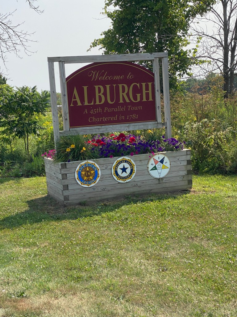
Alburgh – Montreal, Quebec
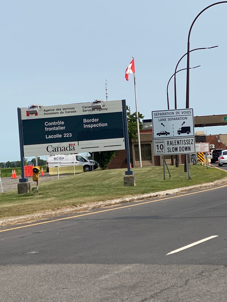
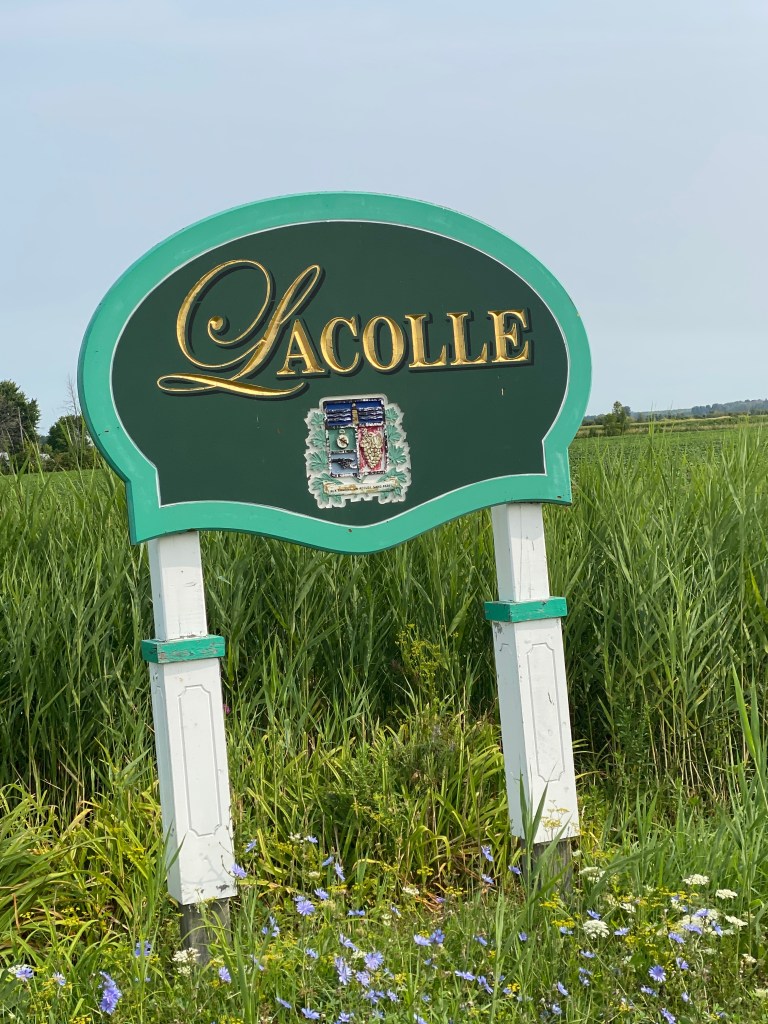
Attached the rear rack and bag to Synful. Shoes take up a lot of space. Good thing only packing for one day. Suppose this technically meets the definition of bikepacking since the bag will be carrying everything necessary for an overnight bike ride. Late wake up of 0730 since didn’t want to arrive at the hotel too early and the room not be ready for check in. Loaded up, ate breakfast and off for the 40-min drive to Alburgh. No rando permanent route this time but found a route on RWGPS that met the criteria. Parked at a gas station/market near the start of the route and hoped the car would still be there the following day. Headed north, turned west crossing a bridge over the Richelieu River into NY then north again through passport control without any problems. First time crossing an international border with customs agents via bicycle. Kudos to those who ride a fully loaded bike. They are heavy. Bike doesn’t like out of saddle pedaling. Good thing the route was flat. Can’t imagine any significant climbing would be very pleasant. The simple task of mounting and dismounting can be challenging. The first 30 miles were all on roads. Some with shoulder some not. Some good pavement and some not so much. The road portion in Canada was entirely on Route Verte 2. Made a right hand turned and the route was now a dedicated, bidirectional bike lane. Eventually turned onto Route Verte 1 which was predominantly a bike/pedestrian only trail both paved and gravel. Spectacular scenery riding between the Chambry Canal and St Lawrence River. The number of cyclists was mind-blowing. Swear the preponderance were older than me on all kinds of bikes. Was utterly impressed. Experienced no problems until entered Montréal. The RWGPS route ended in Montreal but not my destination. Used Apple Maps to reach the hotel but its preferred route was not the most helpful due to construction detours and route closures prepping for some kind of upcoming festival. Montreal is a very bike friendly with many bike lanes. Eventually made it to the hotel but the room wasn’t ready. Removed some clothes from rack, checked the bike with the concierge, changed, and went exploring.
RWGPS route: 63.4 miles, 680’ elevation
Actual route: 69.32 miles, 1555’ elevation, moving time 4:35, total time 5:09


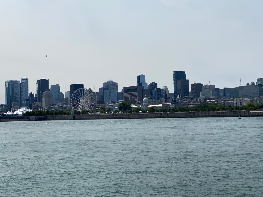
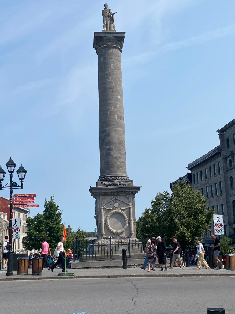
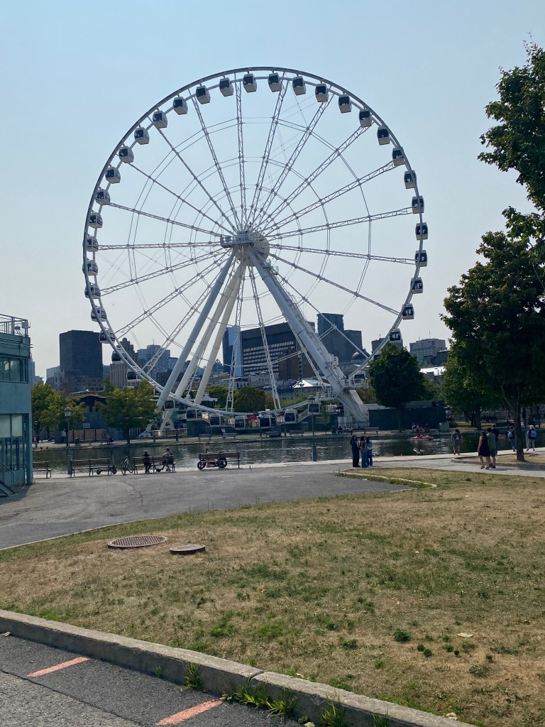
Spent most of the walk in Vieux-Port de Montréal. Very touristy but not obnoxiously so. Walked past a bungee jumping station, stopped, and decided to inquire about the details. YOLO. Signed up and bungee jumping was checked off the list. The crew asked about making contact with the water and responded with, “Why not. Hands only.” Weight is measured twice: first time with attire being worn for the jump with number written with a Sharpie on the back of the right hand, and: second time after harness is strapped in place. Hooked up into a harness then climbed the equivalent of 11 flights of stairs, across a 50-meter platform into a shed where the remaining safety equipment, lower leg-straps, were secured. Could definitely feel the weight and pull of the bungee cord once attached to the D-rings on the leg straps. Walked to the doorway, toes extending over the edge, arms extended and raised laterally to shoulder level, looked out over the city, and fell forward on command after the countdown from 3. The woman in front of me was given the countdown more than once! Would like to think perception of contact with water first by hands then head feasible but just moving too fast to distinguish as separate events. Obviously, there was a miscalculation as hands, fully extended arms overhead, and upper chest were submerged. Oops! Still an awesome and exhilarating experience. Passed on purchasing the $50 video of my jump. Having to use the phone for navigational support drained most of the battery and realized while unpacking that the charger cord was safely stored in my backpack, in the car in Vermont. Would have to find a place to purchase a new one. Returned to the same area for dinner but stopped in several stores looking for phone chargers. No luck on that front but ate at Le Senateur and the Tortellini Special and Chianti. That was the first alcohol consumed on the adventure. Won’t say I didn’t miss having it with a meal but it wasn’t necessary. Will say it makes for a noticeably smaller dinner tab though. No dinner pictures due to critically low iPhone battery level. Back to the search after dinner but still no luck. Did what should’ve been done first – check with the hotel staff. They didn’t have one in the lost and found but directed me to an entrance to the metro system and the name of a convenience store, Couche-Tard that carried them. Didn’t notice them the first time walking through the store but after a walk around the building and returning to the store; yep, there they were. Behind the counter the whole time. $18 later, returned to the hotel to charge the phone! Walked a total of 6.1 miles around Montreal


Day 7 – August 6
Montreal – Alburgh
Later rise for made to order breakfast – mushroom, tomato, and spinach omelet, 2 pancakes, bowl of corn flakes, banana, blueberry yogurt and juice. Then walked just over 4 miles, mostly in the Vieux-Port area. Previously used Garmin’s reverse route feature and saved the route. Once again, the start point was not the hotel. Using the route, wrote down directions from the hotel to intersect the route at Jacque Cartier Bridge. Departed about 10:45 and the directions were accurate but they took me beneath the bridge. Backtracked once and connected with the route. Smooth sailing out of Montréal. Crazy gates on bridge to reduce speed but maneuvering through with a rack on the bike felt cumbersome. Once on the dedicated bike path of Route Vert 1, took advantage of one of the permanently mounted bike pumps to make sure air pressure remained at 75 PSI. Again, the path was busy but not congested. A higher percentage of younger riders today but still seemed proportionally higher for older cyclists. Had to stop at a bridge along Chambly Canal that rotated out of the way to allow 6-7 boats to pass. Interesting design alternative to drawbridge. Series of fully functioning locks along the canal. Actually passed a group of riders just before transition of Route 2 from dedicated bike lane to normal road. Canadian and US Customs checks are separated by 1.3 K. Seems weird but no problems coming back into US. The car was safe and sound where parked the day before.

RWGPS Route: 63.4 miles, 624’ elevation
Actual route: 65.98 miles, 1430’ elevation, moving time 4:04, total time 4:30


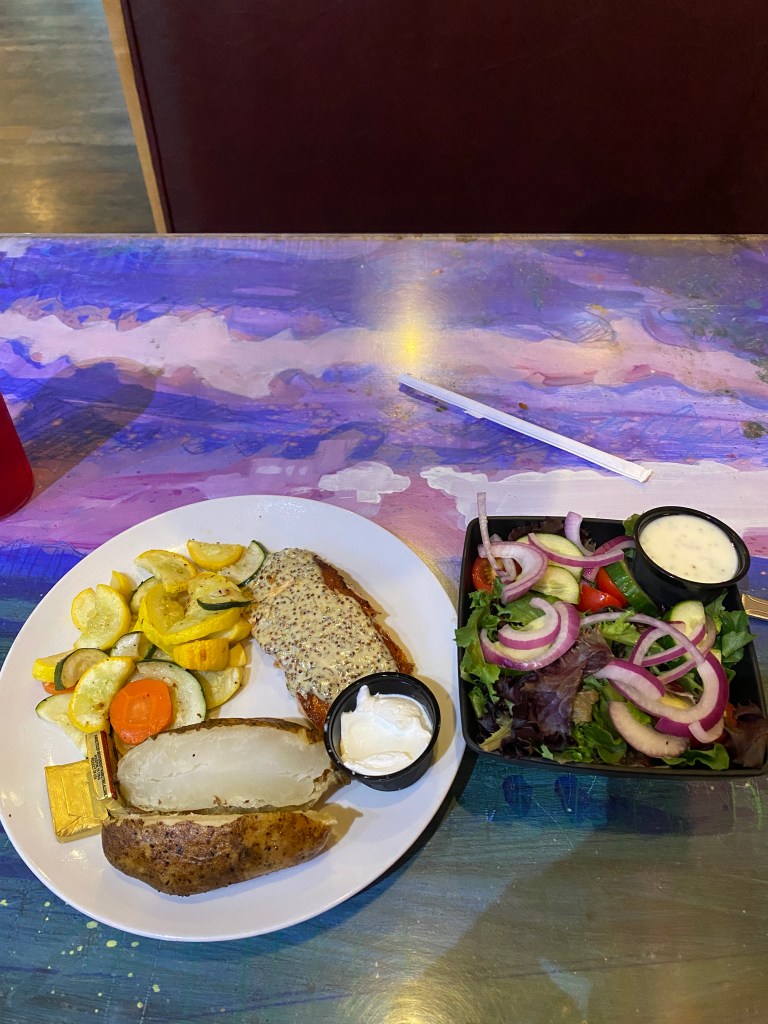
Ate the 2 bananas, apple, and one Uncrustable that were in the cooler. Removed the rack and put Synful on the vehicle rack and prepared to drive back to St Albans. Spotty internet meant Apple Maps wouldn’t load which created a small navigational dilemma. Headed south until a stronger signal was detected, loaded in the hotel address and concluded the Canadian Extension of the Rando Adventure. Final meal was at Twiggs American Gastropub and ordered Crab Rangoon (delicious) for an appetizer, house salad (bigger than expected), seared salmon (thin piece, underwhelming) and Famous Twiggie, made-to-order cookie with ice cream (cookie was overdone around the edges). Ended the trip with the least liked meal. Disappointing but can’t have great meals every time.


Day 8 – August 7
St Albans Figure 8
Another 0600 wake-up for the Rando Adventure Finale. Created the route from RWGPS and thought it would be straight forward. The was only the second ride that started directly from the hotel without some amount of driving to reach the start point. Didn’t place the Green start point icon directly in front of the hotel so when I started, completed the southern loop first. Took a while to figure out why Garmin indicated amount of ride remaining was far less than the actual distance of the route. Regardless, another glorious weather day riding various portions of The Champlain Bikeway with magnificent views of the namesake lake. More low-density vehicular traffic roads but not a single other cyclist. Several runners, walkers, and dog walkers but no bikes. Navigational dyslexia continued for the northern loop and executed that portion in reverse order. No matter, finished the ride without incident with an awesome way to conclude the adventure. Returned to the hotel, showered, ate breakfast, loaded up the car and started the 10 ½ drive back home.
RWGPS route: 47.8 miles, 1870’ elevation
Actual route: 48.16 miles, 2198’ elevation, moving time 2:40, total time 2:50


Traffic outside of NYC, Philly and crossing into MD from DE added another 45 minutes to the drive. Used both Apple Maps and Waze navigation but eventually stuck with Apple Maps and Waze was constantly suggesting alternative routes to minimize delays, apparently, but required too much attention with congested highways. Not sure how much time was saved, if any, following any of the re-routing.
Truly was a great, long week of cycling with great weather, no rain, awesome scenery with lots of water views, great food, 3 new states and Canadian Provence to add to the list of places cycled and 9 new states for the RUSA American Explorer Award.
TOTALS:
DE, PA, NJ, CT, NY, RI, ME, NH, MA, VT, and Montreal, Quebec
576.5 miles, 23,211’ elevation, moving time 34:16
